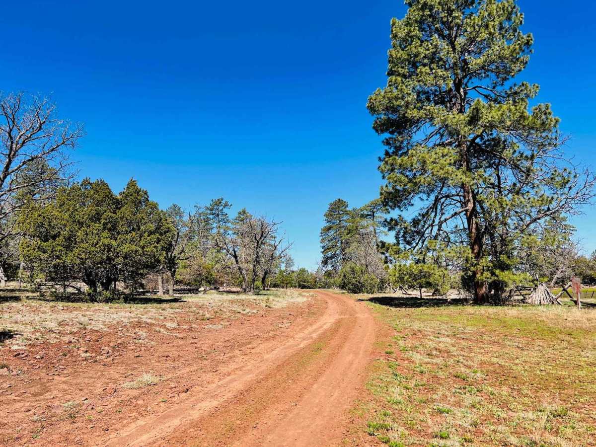
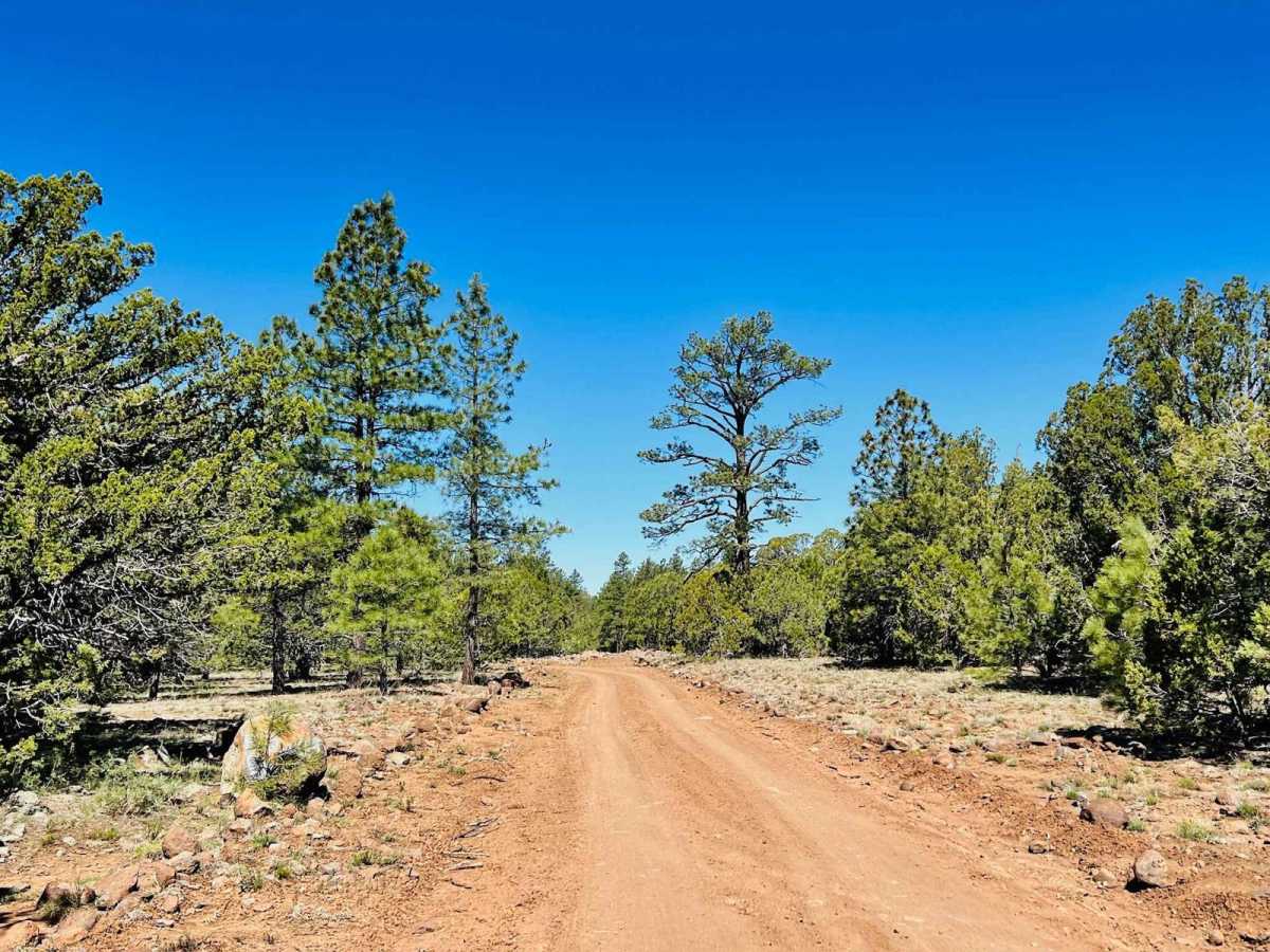
Trail Overview
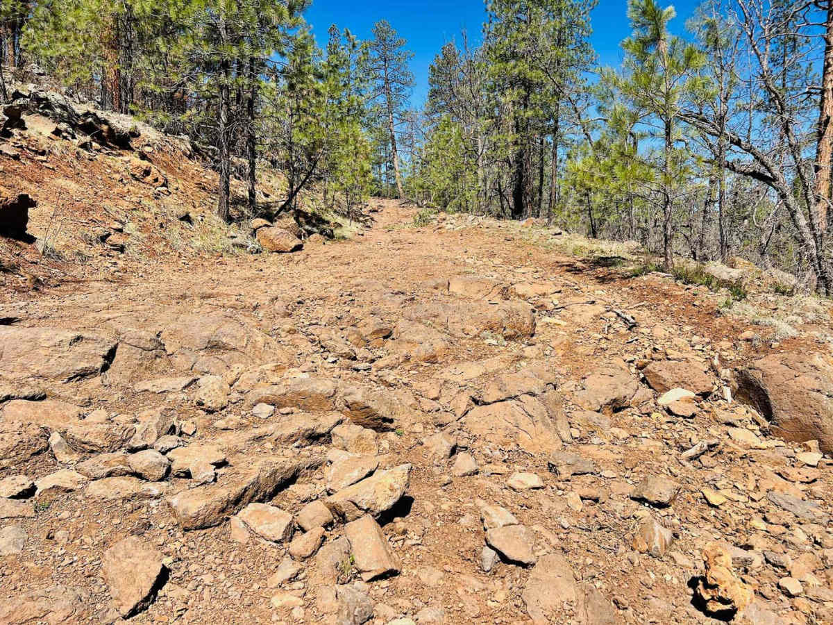
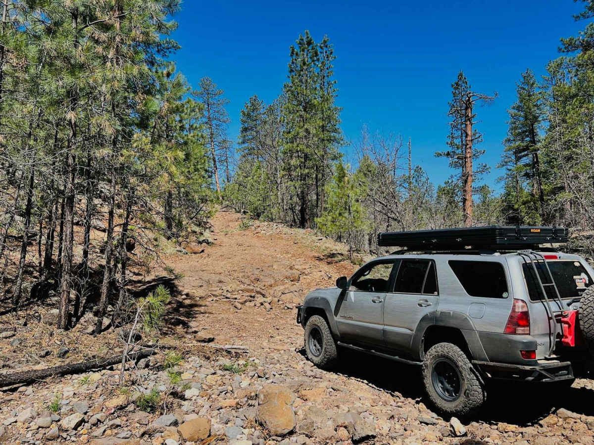
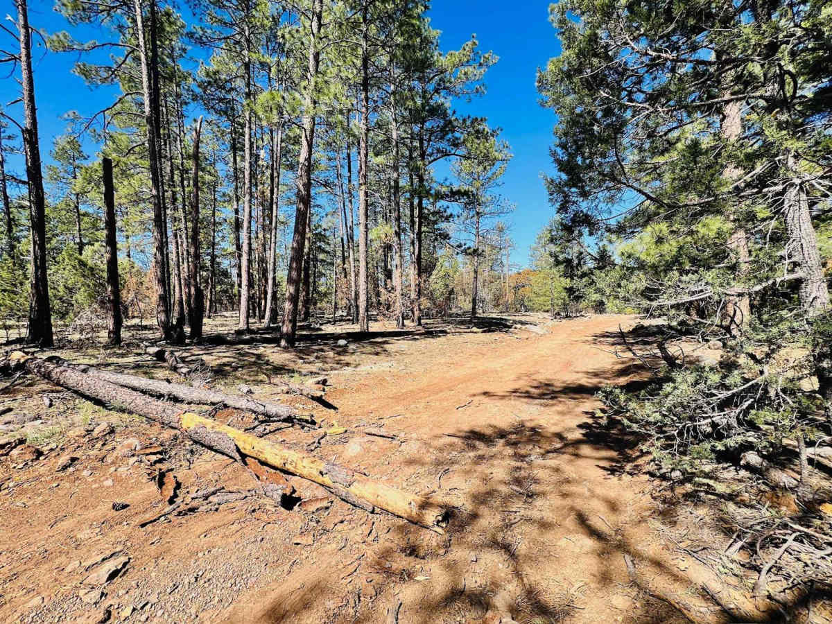
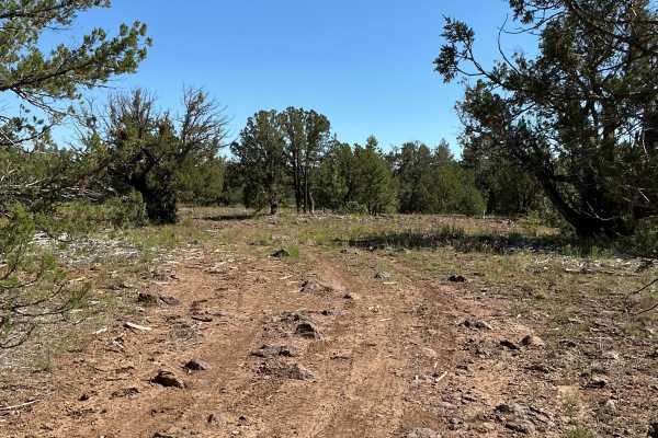
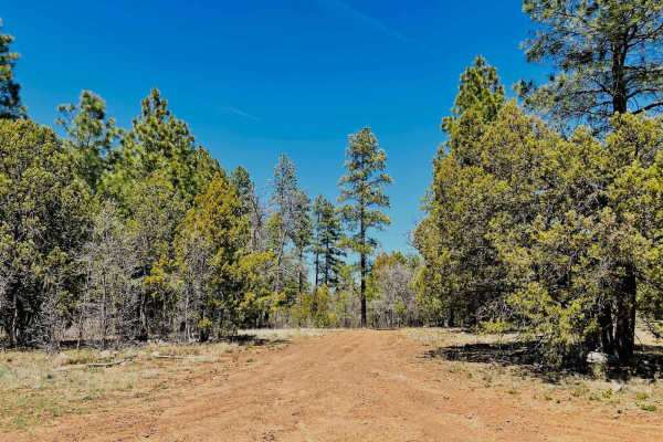
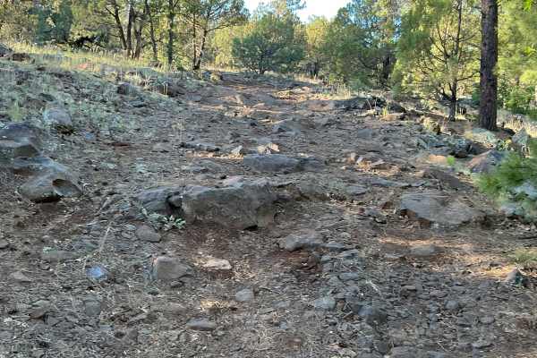
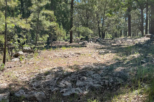
This is not the end of the Clover Spur Trail you want to use if you come in with an RV or truck and trailer. This turns into a very rocky trail with several rock gardens and some ledges, and it goes down to a creek crossing with many boulders. The closer the trail gets to linking up with the green maintained section of the trail, the more likely it is to have mud and deep ruts. Keep your eyes out for bypass routes along this upper section of the trail that will route around some of the rockier, muddy parts. This trail has multiple different rocky sections with some little shelves. There are a couple of campsites in the trees closer to where the trail meets up with the highway. There are also a couple of spur trails off this one to explore. They are most likely to be rough, bumpy, and rocky. There is one useless bar of Verizon LTE cell service out here.
Difficulty
This trail has multiple rocky ledge obstacles on it. The hill down to the creek crossing is the most advanced, with several steep, rocky shelves to go up or down. Airing down and aggressive tires are advised. There are also sections of deep, muddy ruts from springtime use. The mud can linger in this area for a while, even after the snow melts.
History
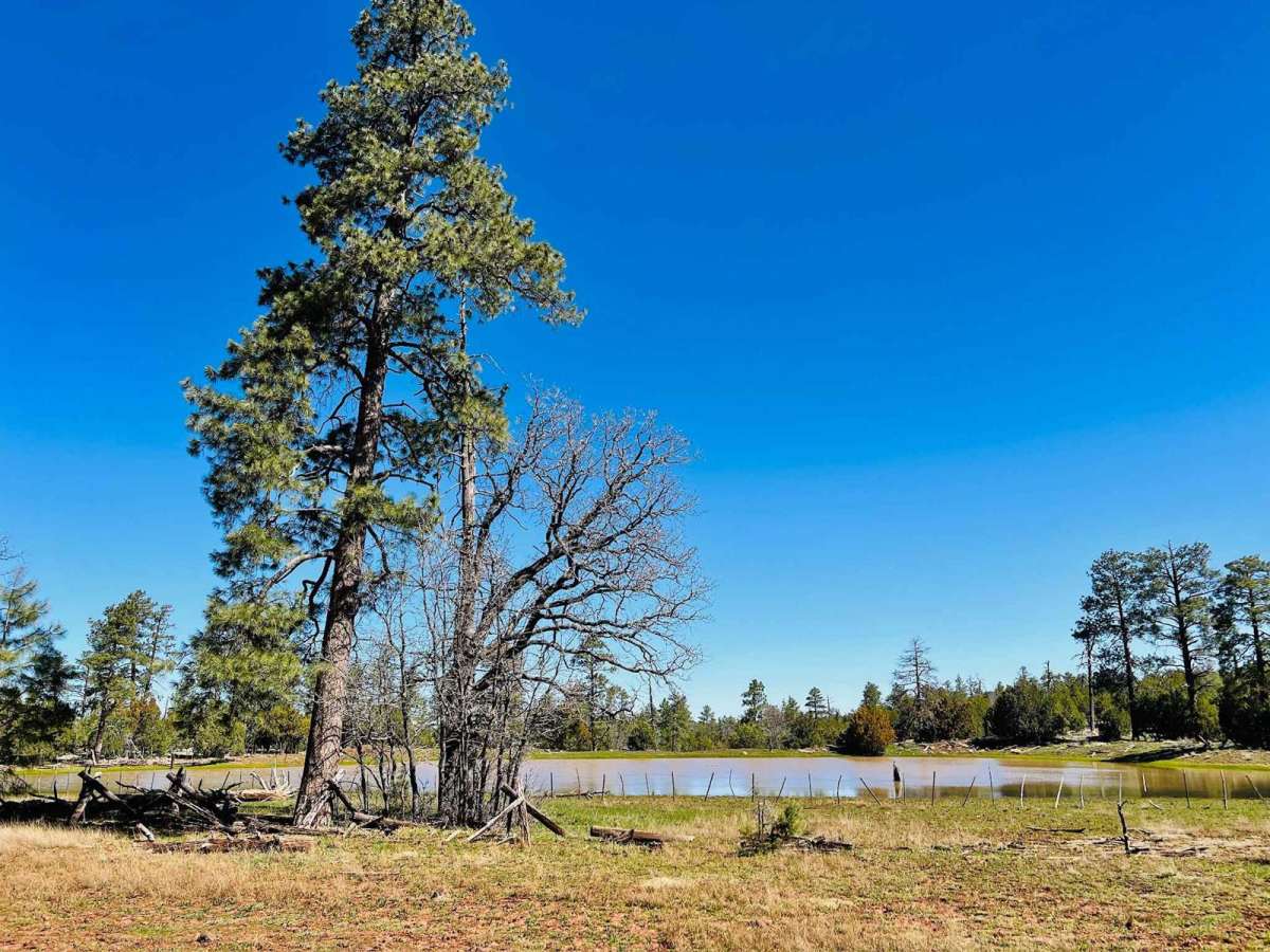
The Mogollon Rim is a rugged escarpment that forms the southern limit of the Colorado Plateau. It extends across the entire forest, approximately 200 miles in total, and provides excellent views within plateau country and desert canyon country as well. Dropping as much as 2,000 feet in some areas, the Rim offers some of the most far-reaching scenery in Arizona. Views stretch from its rocky precipice to Four Peaks of the Mazatzals northeast of Phoenix. Sightseeing is a favorite activity along the Rim. Still, this forest area also boasts a historic system of hiking and horseback trails, a couple of picturesque lakes for boating and fishing, and backcountry skiing for wilderness adventurers. The Mogollon Rim is a topographical and geological feature cutting across the northern half of Arizona. It extends diagonally approximately 200 miles, starting in northern Yavapai County and running eastward, ending near the New Mexico border. It forms the southern edge of the Colorado Plateau in Arizona. The Rim is an escarpment defining the southwestern edge of the Colorado Plateau. Its central and most spectacular portions are characterized by high cliffs of limestone and sand, namely the Kaibab limestone and Coconino sandstone cliffs. This escarpment was created by erosion, faulting, and cutting dramatic canyons into it, including the Fossil Creek Canyon and Pine Canyon. The name Mogollon comes from Don Juan Ignacio Flores Mogollon, the Spanish governor of New Mexico from 1712 to 1715. The Mogollon Rim's limestones and sandstones were formed from sediments deposited in the Carboniferous and Permian Periods. Several of the Rim's rock formations are also seen on the walls of the Grand Canyon. The extensive basaltic lava flows cap or even bury the Rim in many places. Be sure to keep your eyes peeled for the endangered Mexican spotted owl. Other wildlife present on the Rim will be herds of elk and deer. You may see black bears, mountain lions, and even the occasional red-tailed hawk or peregrine falcon. There are also coyotes, horned toads, and rattlesnakes. This area frequently has fire restrictions early in the season. Be sure to contact the local ranger station for information about the current campfire restrictions. Or, at the minimum, check the Coconino Fire webpage. https://www.coconino.az.gov/2595/Fire-Restriction-Information