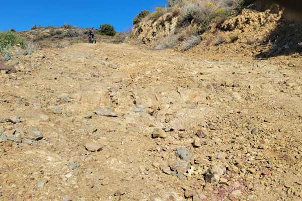
Cave Creek Road

Total Miles 14.5
Technical Rating
2 Easy
Best Time Spring, Fall, Winter
Trail Type Full-Width Road
Accessible By
Open Trail Map

Trail Overview

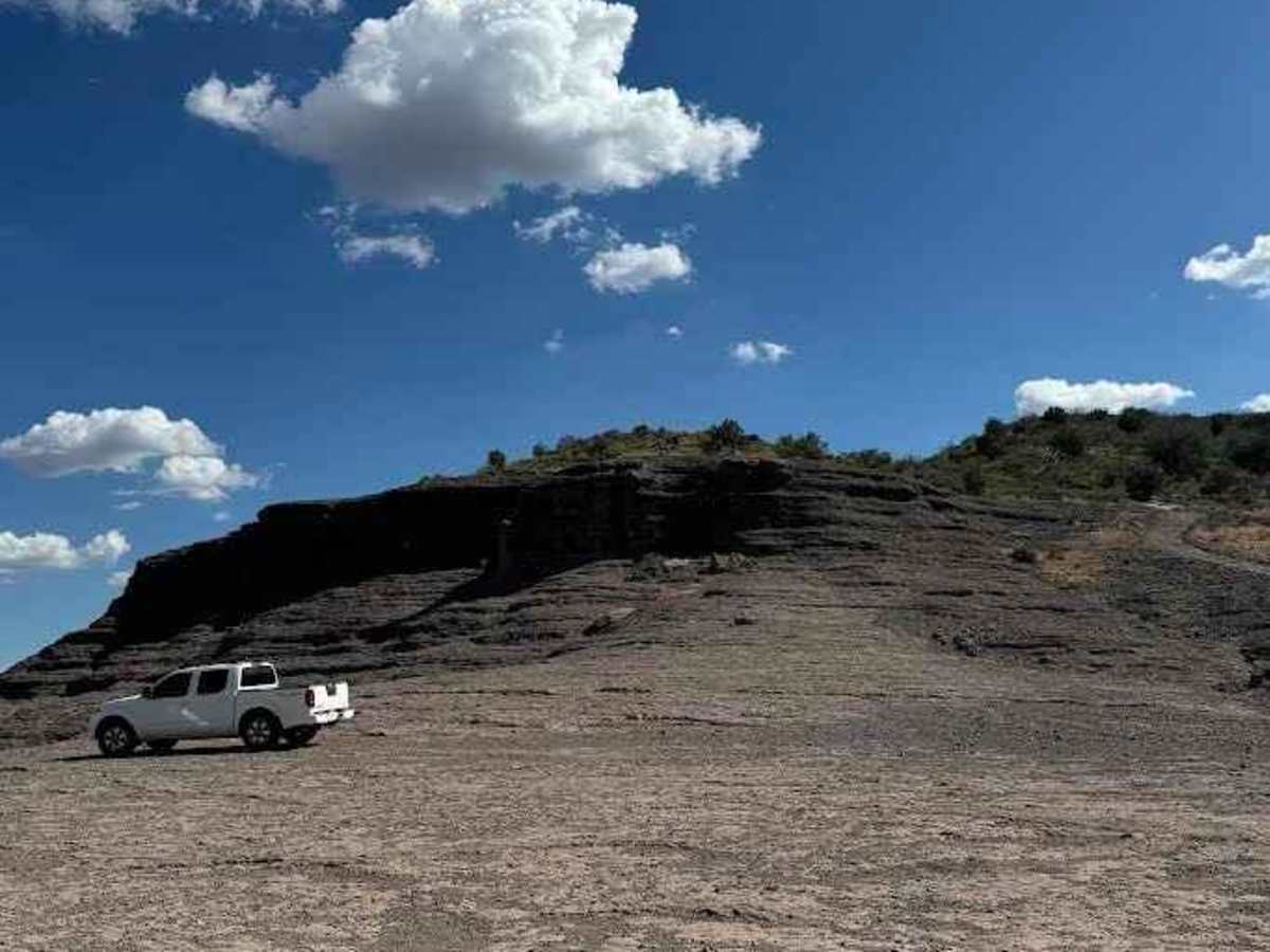
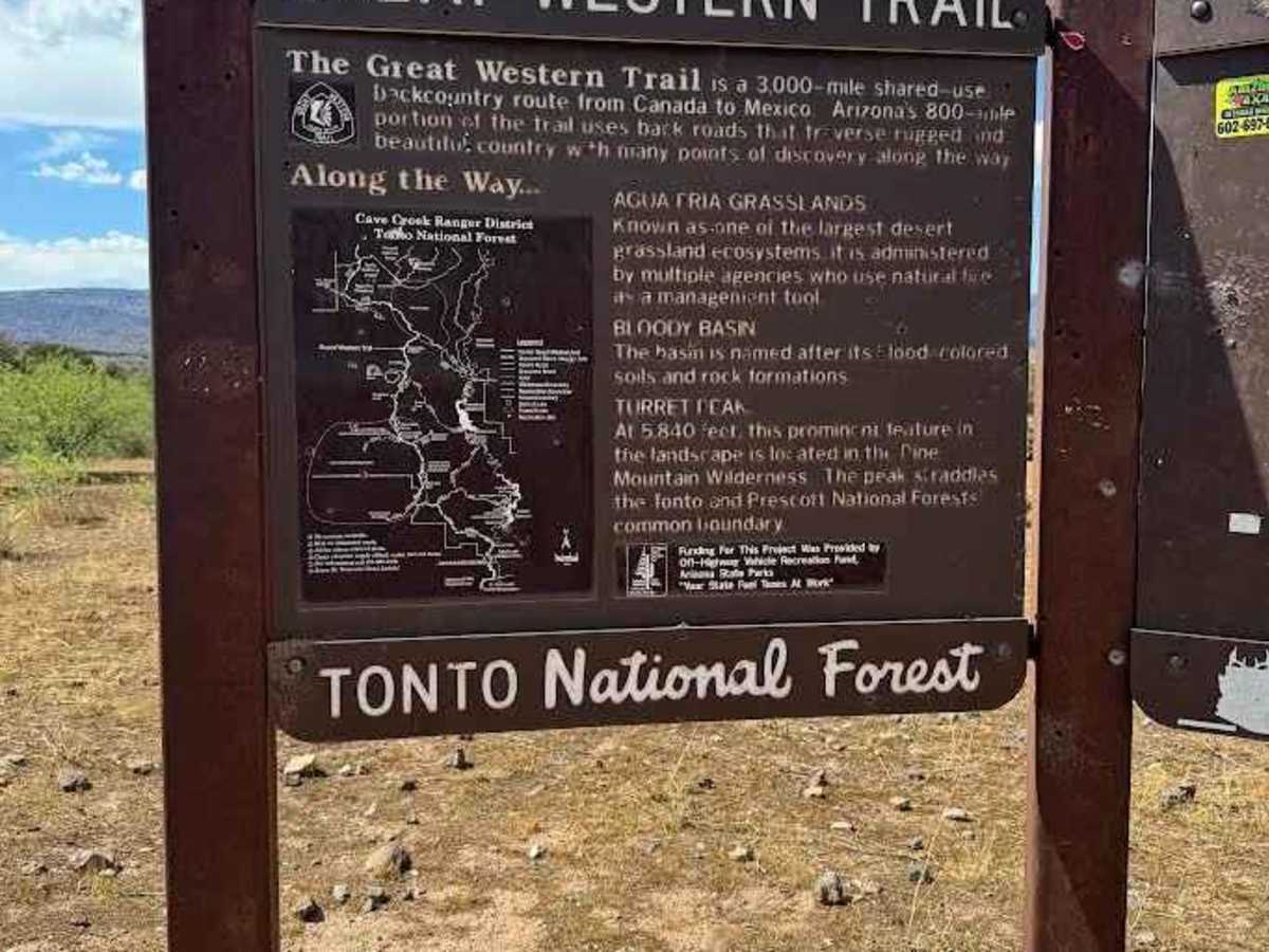
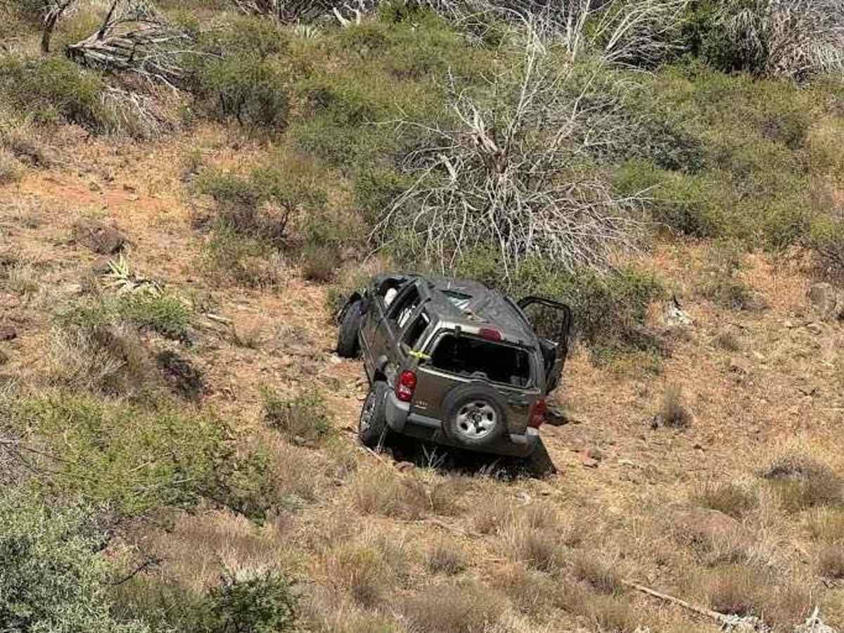
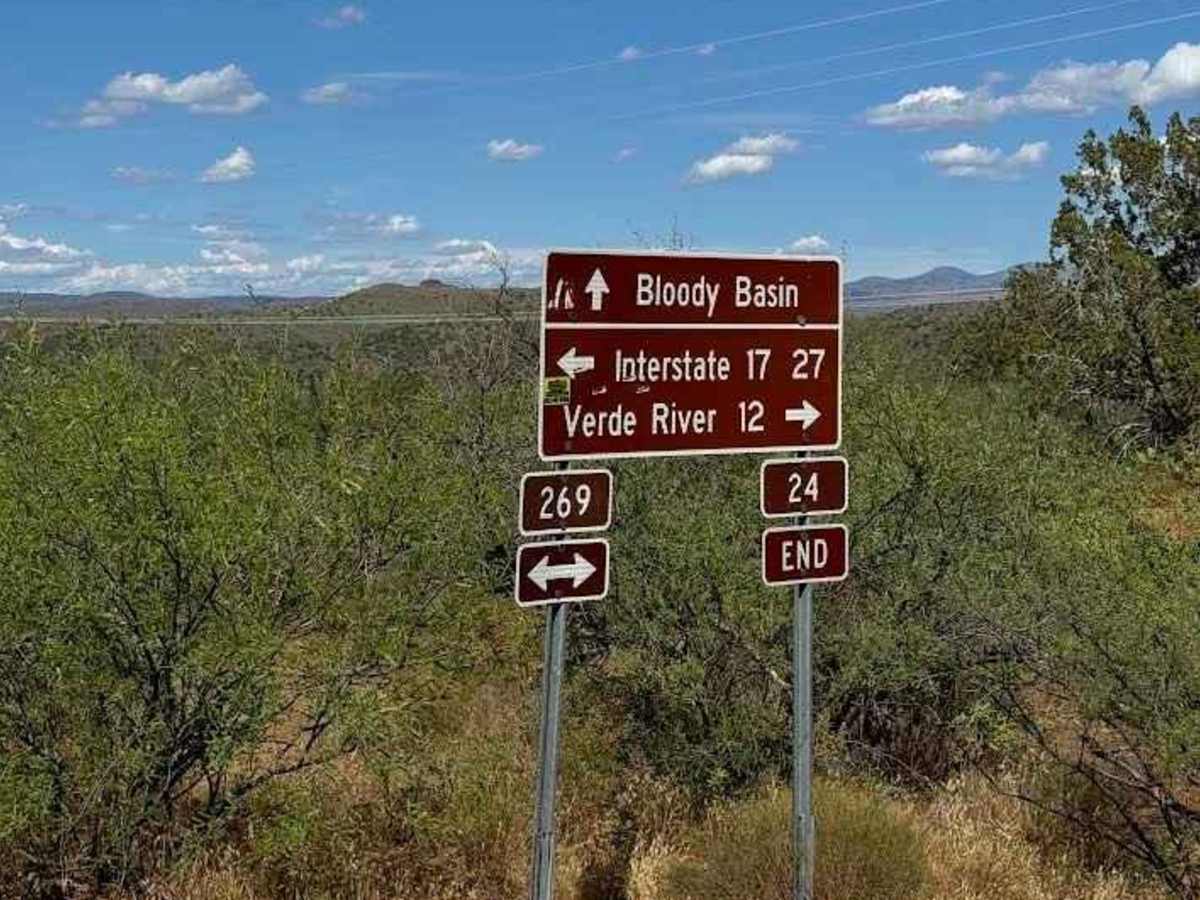
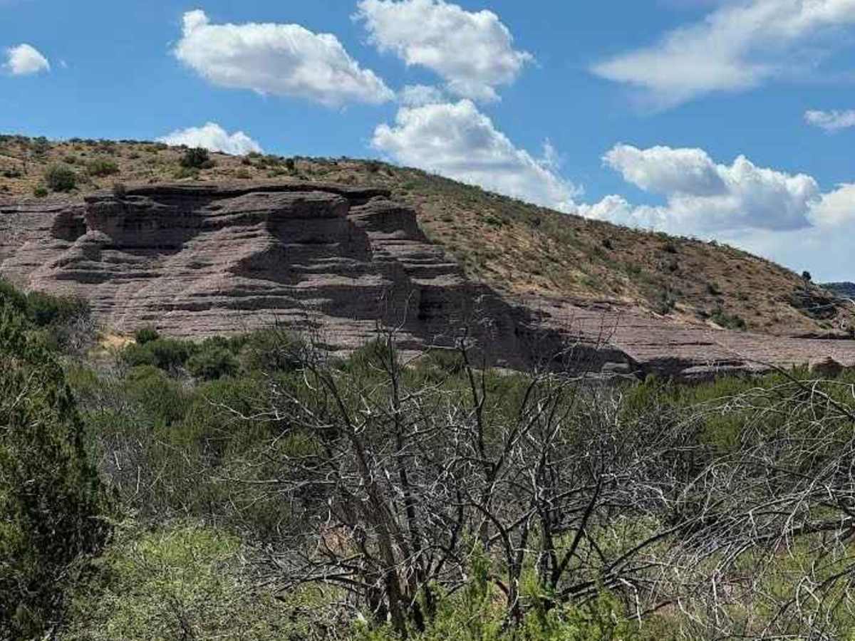
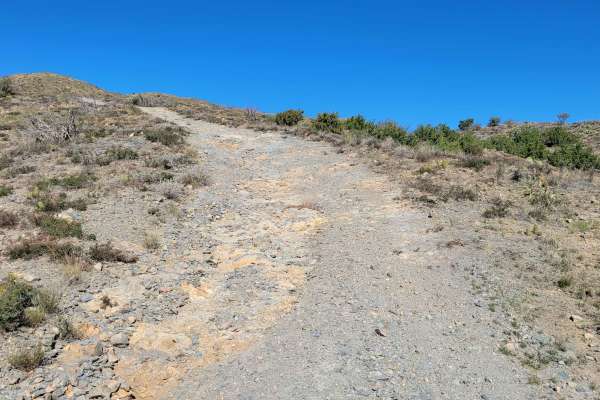
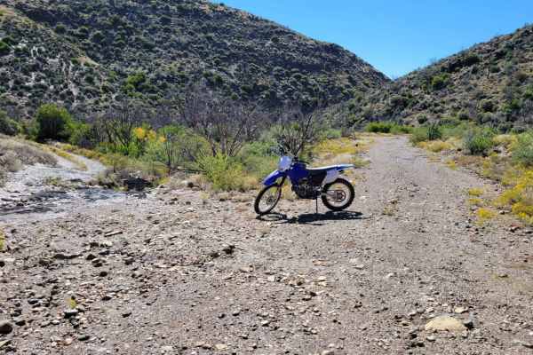
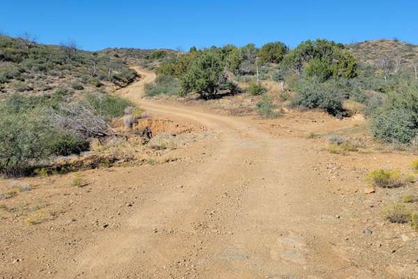
In this area, Cave Creek Road is often called Seven Springs Road or Forest Service Road 24. This is a graded road suitable for almost any vehicle. This stretch of Cave Creek Road begins at the intersection of FR41, called New River Trail on onX. It is the northern leg of Cave Creek that just to the immediate south is called Mesa Connection on onX. It runs north from there until it intersects Bloody Basin Road in about 14 miles. At that intersection you can head east to the Verde River and Sheep's Bridge or West to I-17. Along the way you will see a private cattle ranch called 51 Ranch. It is not unusual to see cars dumped on this road often riddled with bullet holes. The biggest scenic highlight is CP Butte, which is surrounded by rock formations big and smooth enough to drive on. North of that, you will follow along Holmes Creek, which usually does not have much water, but feeds some riparian areas with large trees. The road varies in elevation starting at roughly 4,000 ft at its southern end and reaches as high as 4,800 feet, then finishes around 3,000 feet. It is not uncommon to have snow on the ground in winter. Summertime highs are about 10 degrees cooler than Phoenix. Making it best to visit in Fall, Winter and Spring. This section of Cave Creek Road is also part of the GWT (Great Western Trail). The GWT is a fragmented 3,000-mile, (mostly backcountry route), that runs from Canada to Mexico. There is no cell service on this stretch of road.

Photos of Cave Creek Road

Difficulty

The most difficult thing would be a water crossing that could be up to a foot deep immediately after a rain.

Technical Rating

2

Status Reports

Add Status Report
Bob Cusick
May 26, 2026
Open
From the Bloody Basin side it’s a bit rocky and rough - up to the Maricopa County line. GREAT trail. Mountain vista views and really nice meandering trail that follows the creek (from Bloody Basin start). Sort of a long trail with side trails - would recommend.
Daniel Kaas-Neal
Feb 22, 2026
Open
Dried out compared to last time I was on the trail a little over a month ago. Not heavy traffic but enough to keep you vigilant around corners. No major obstacles to note, if my CR-V can do it you should be fine
Brady Matlock
Jan 09, 2026
Open
Muddy in spots but not flooded. 4WD recommended.
Dan S
Jan 02, 2026
Open
Desert was lush and green. Trail was sloppy and wet in some places.
Damon Narkiewicz
Dec 25, 2025
Open
Mud, some mud on tight turns
Brady Matlock
Dec 10, 2025
Open
Eric N
Dec 05, 2025
Open
Longer, but less jarring way home from Sheep's Bridge via Bl0ody Basin Road. Less ruts and nuisance rocks allows for faster travel and it's pretty dry coming south. Scenery is great as the trees in the creek are all Autumn colors and it is a very pretty drive. The mud from the latest storms has dried but there are a few concrete wash areas to cross that had 12" of running water but nothing very challenging. Excellent alternative to and from Sheep's Bridge, longer in mileage, but I think is faster than BBR from I-17. Encountered a few people in the southern end of the trail as it was Friday and people were out and about on scenic drives or going to campgrounds. Detoured to Humboldt Mountain Lookout (mostly paved but very steep and narrow) for a quick summit view of Horseshoe Lake which is looking pretty full!
Eric N
Sep 26, 2025
Open
Undisturbed mud made the climb up to Blo0dy Basin really slick, even on the rocky parts. Perhaps a heavier truck would gain better traction but I was sliding a bit and this was before the torrential downpour that came later in the morning! I would avoid this trail in a stock 4x4 until it dries out unless you've got great mud tires and good gearing but even then you need to avoid destroying the trail when you run it soggy and wet. It got worse the closer to Blo0dy Basin and at the turnoff, the road was swampy and sloppy. Avoid until it's dried out and the Agua Fria River to the west might be impassable too so there's not a good way back to civilization for easy/moderate trail runners. Make sure you're prepared for slop conditions during this really wet monsoon season.
Louis Domokos
Jun 20, 2025
Open
Nathaniel Sakers
Mar 16, 2025
Open
Sierra McGuire
Jan 19, 2025
Open
Bob Cusick
Dec 13, 2024
Open
Travis Ralston
Nov 03, 2024
Open

Cave Creek Road Trail can be accessed by the following ride types:

  • Single Track
  • 50 Inch
  • 60 Inch
  • High Clearance
  • Full Width

Cave Creek Road Map

The onX Offroad Difference

onX Offroad combines trail photos, descriptions, difficulty ratings, width restrictions, seasonality, and more in a user-friendly interface. Available on all devices, with offline access and full compatibility with CarPlay and Android Auto. Discover what you're missing today!

Open Trail Map