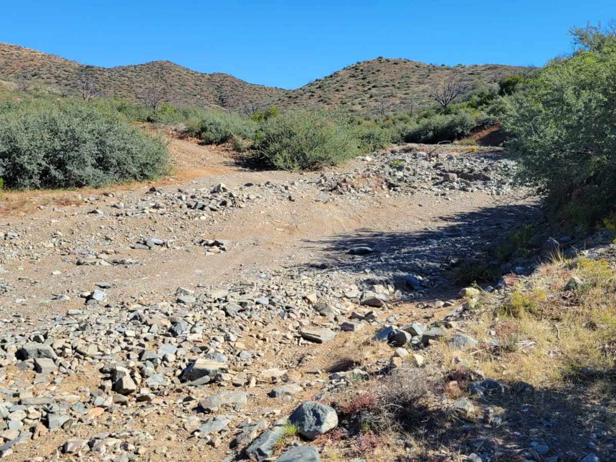
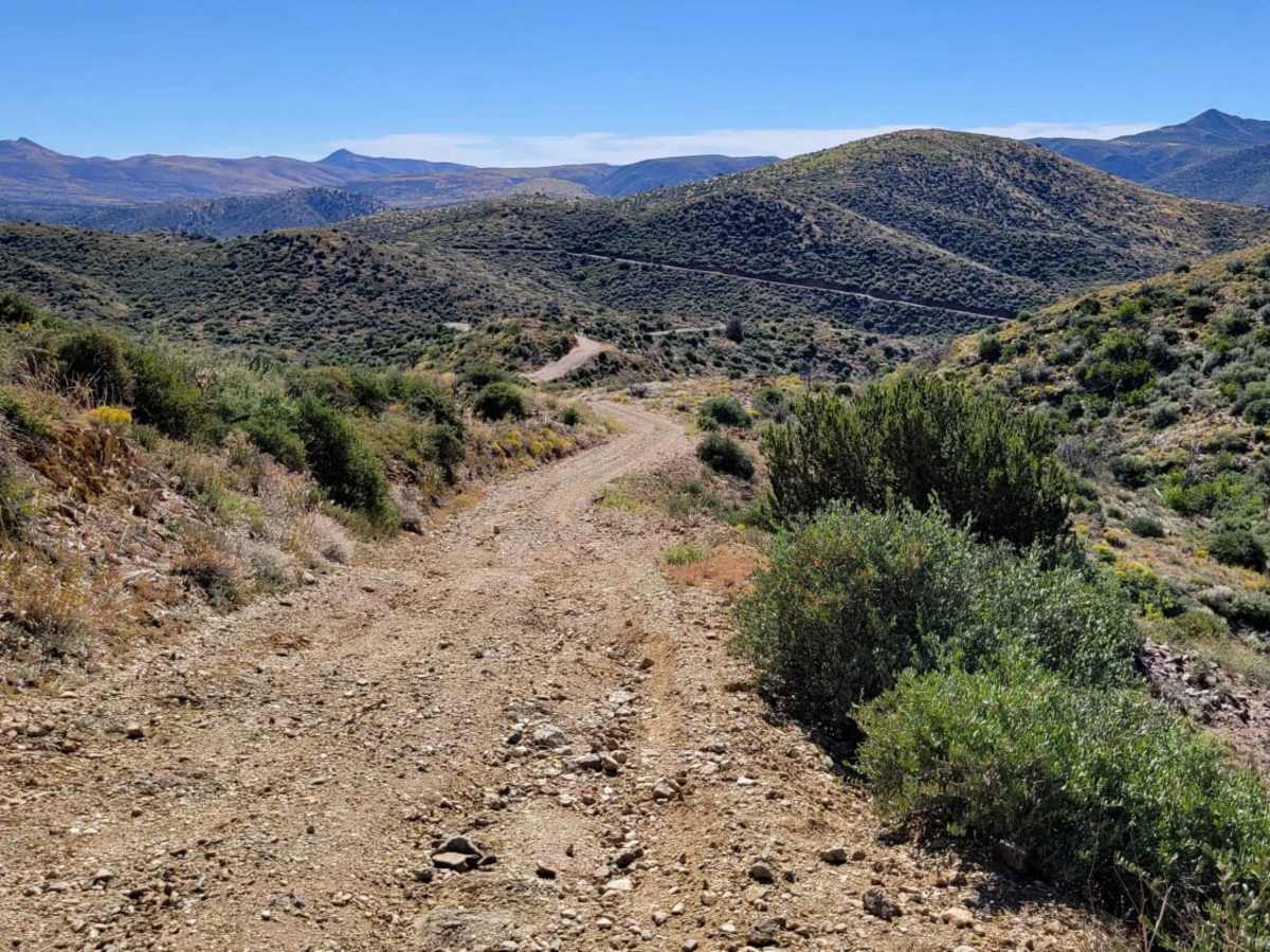
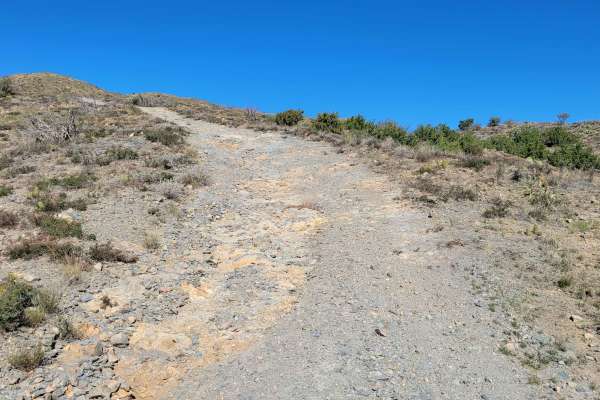
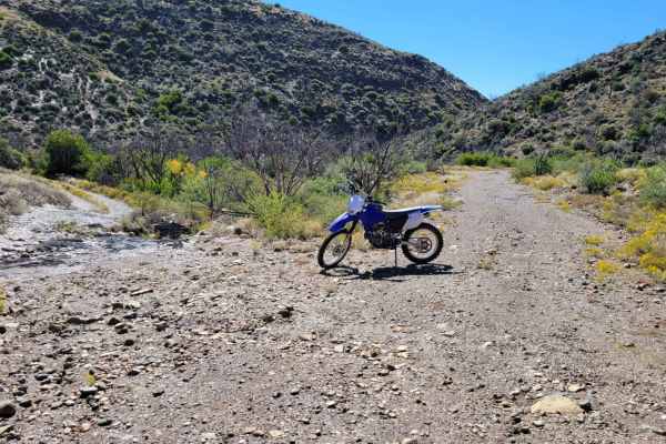
Trail Overview
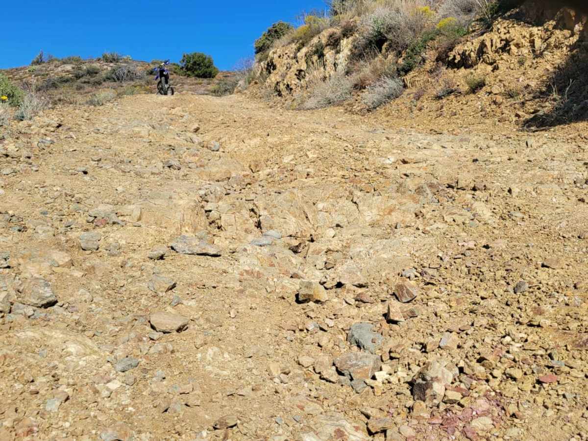
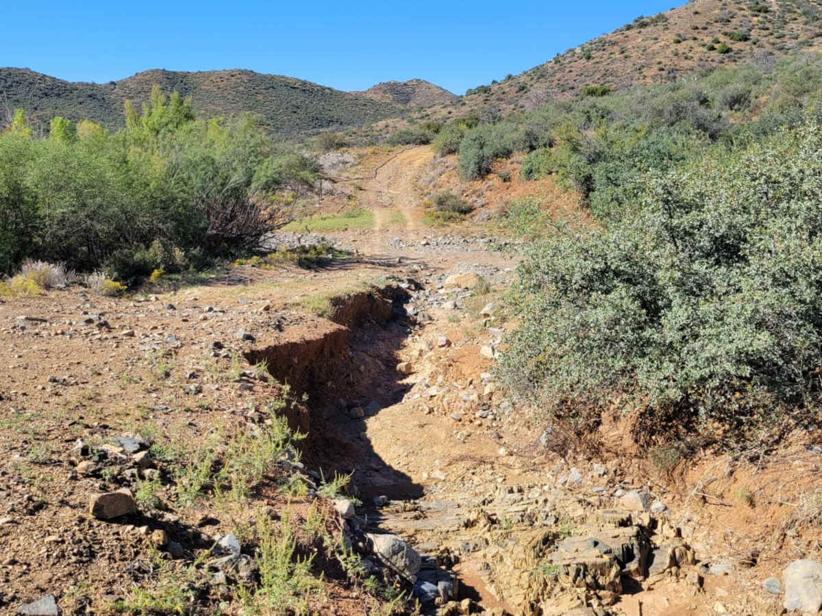
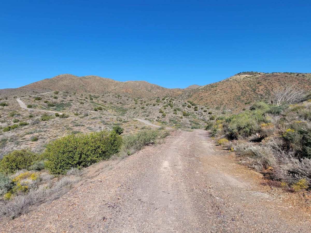
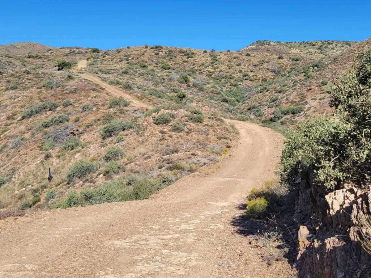
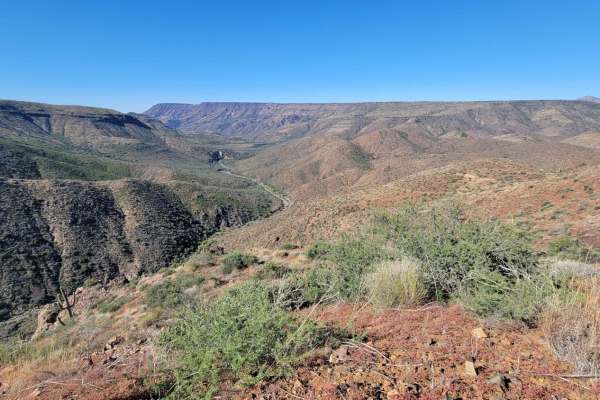
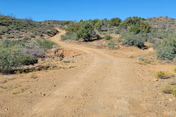
This very short section connects to two other trails and contains a couple of interesting sections. At the very beginning, the trail crosses a sandy wash. This could be hazardous or dangerous in wet (rain) or flash flood conditions. Around the following corner is some deep water erosion damage on the right side of the trail, followed by another wash. Again, these sections could be hazardous. The trail weaves and navigates its way up into the mountains. There is at least one steep and loose rocky section to ascend/descend, with some small off-camber sections tossed in. Eventually, it will lead to two trails: Gramm Mountain (left) or Trail 1940 (right).
Difficulty
This very short section connects to two other trails and contains a couple of interesting sections. At the very beginning the trail crosses a sandy wash. This could be hazardous or dangerous in wet (rain) or flash flood conditions. Around the following corner is some deep water erosion damage on the right side of the trail, followed by another wash. Again, these sections could be hazardous. The trail weaves and navigates its way up into the mountains. There is at least one steep and loose rocky section to ascend/descend, with some small off-camber sections tossed in. Eventually it will lead to two trails: Gramm Mountain (left) or Trail 1940 (right).