Trail Overview
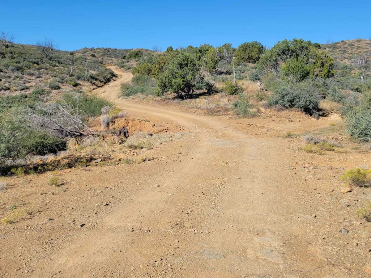
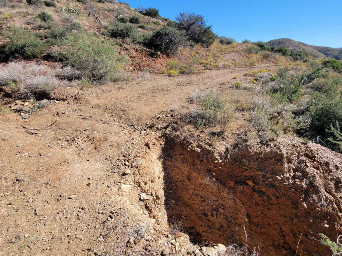
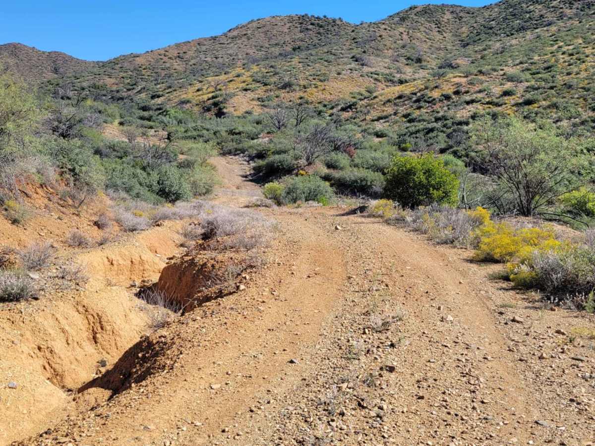
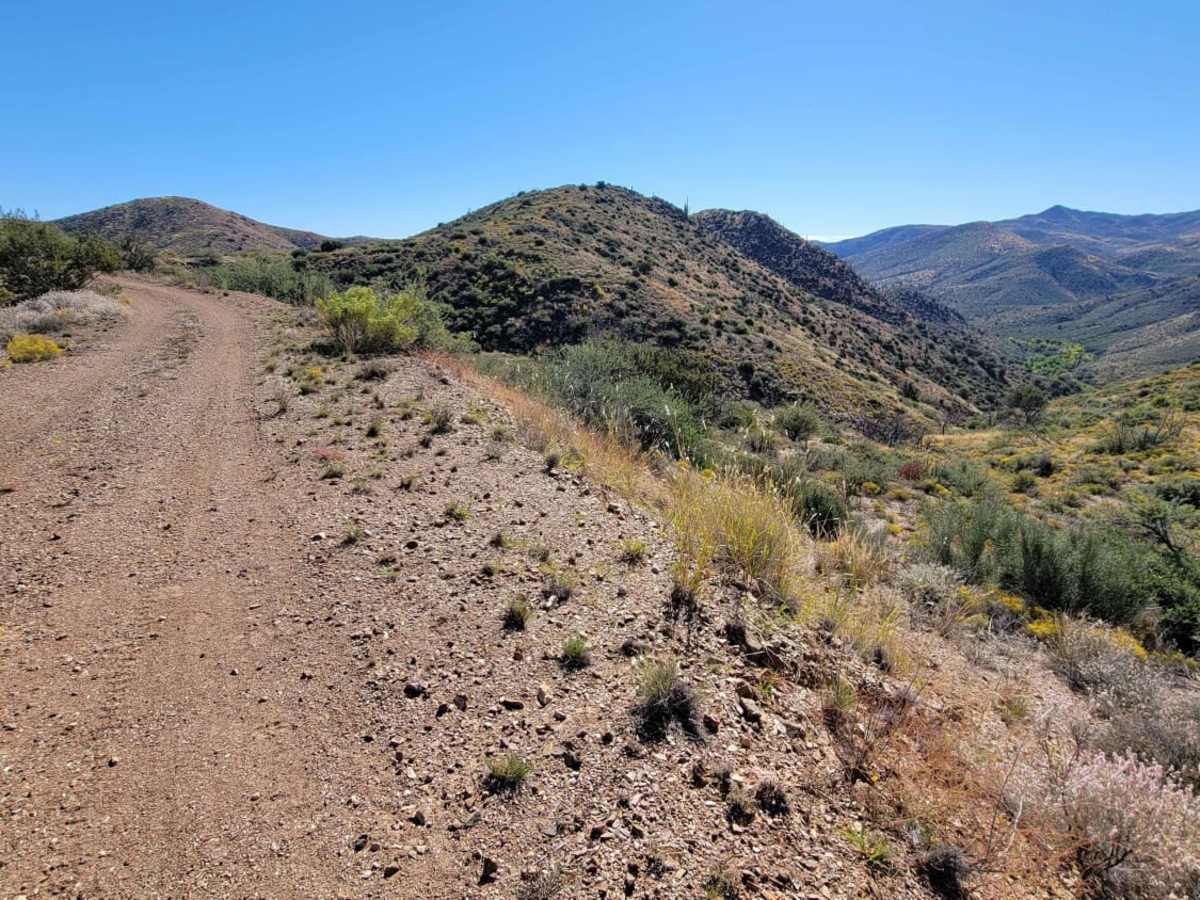
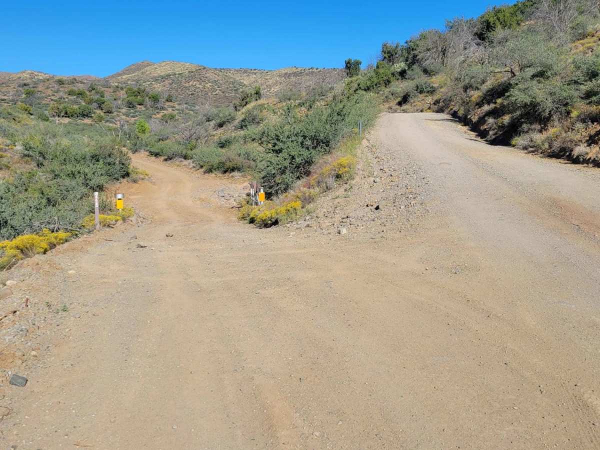
Maggie May’s Way offers an engaging yet highly manageable desert excursion for four-wheel-drive enthusiasts and SxS riders looking to explore the rugged foothills of the Tonto National Forest. This scenic 1.6-mile out-and-back trail branches off Forest Road 468, climbing gently from 3,477 feet to 3,694 feet to showcase expansive views of the Cave Creek area and Cramm Mountain. Rated a 3 out of 10 for difficulty, the unpaved route is mostly straightforward but features sections prone to water erosion and minor washouts that create small, technical drop-offs along the trail's edge.
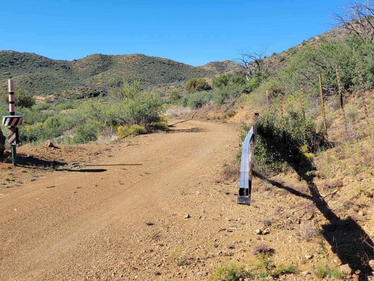
A seasonal gate located roughly one mile into the route may be closed periodically for conservation efforts or winter weather, so checking Tonto National Forest road statuses beforehand is recommended. Drivers should exercise caution and avoid this area entirely during heavy rain, as the trail's low points and nearby washes are susceptible to sudden flash flooding. With its convenient access off the main road and connection to more challenging offshoots like Road 472, the trail serves as an excellent starting point for a full day of exploring the desert highlands.
Difficulty
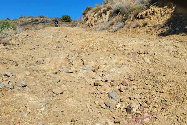
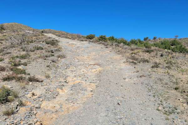
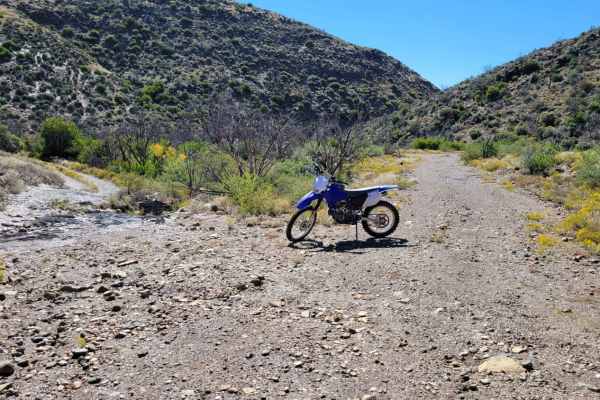
This out-and-back offshoot leads to a fun area with a handful of both easy and advanced trails. This particular trail is not very technical itself, although water erosion on or next to the trail is very likely, with a couple of small sections that have drop-offs as a result. Avoid in (flash) flooding weather. There is a gate one mile in that might be closed seasonally or for conservational reasons, but it should be open otherwise. Beautiful desert views all around.

 Offroad