Backward Tank

Total Miles3.7
Technical Rating
1Easy
Best TimeFall, Summer, Spring
Trail TypeFull-Width Road
Accessible By
Open Trail Map

Trail Overview

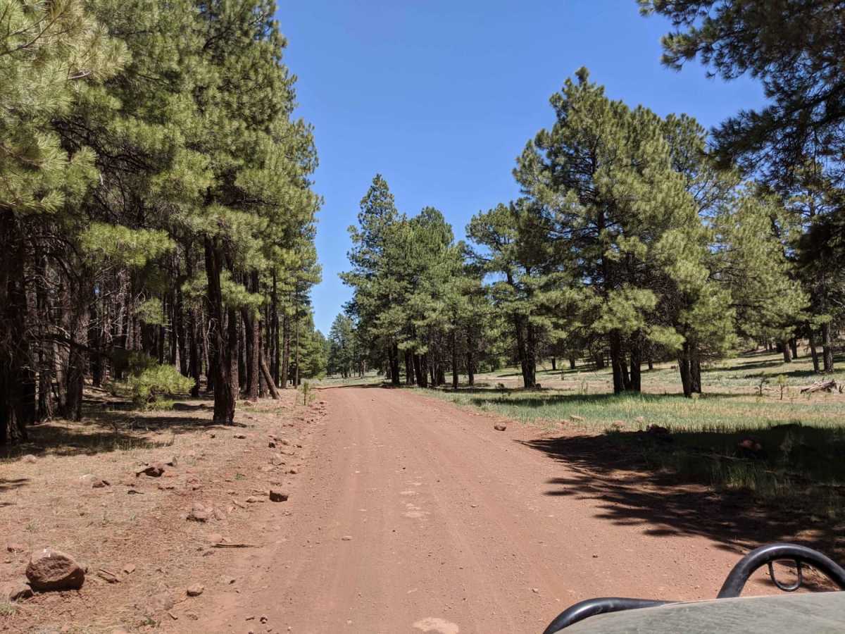
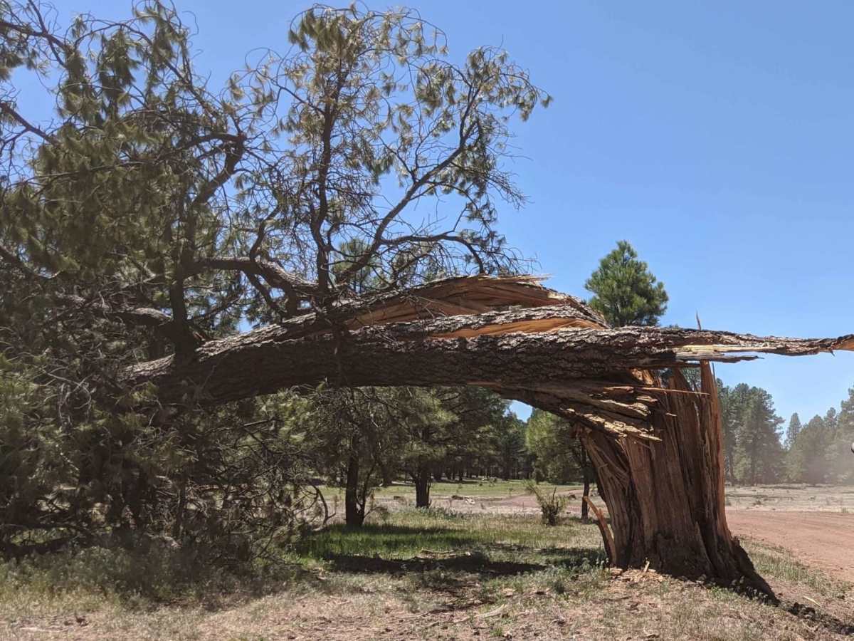
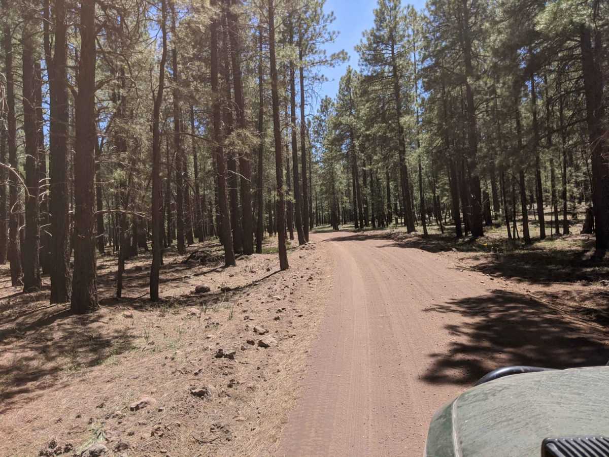
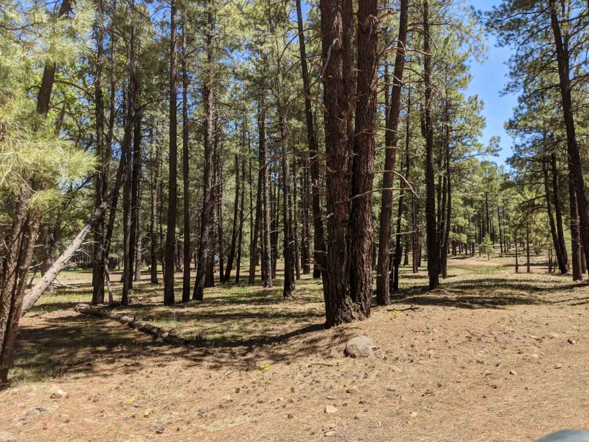
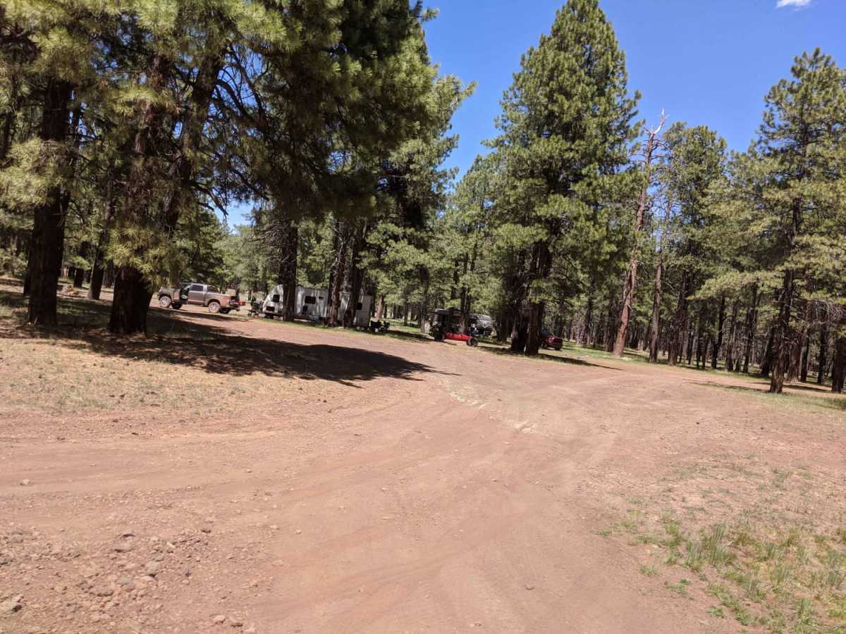
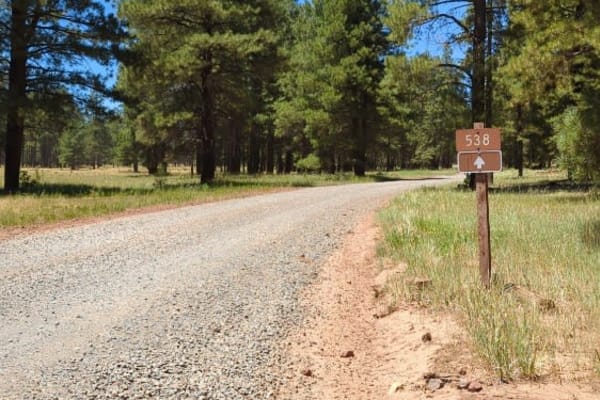
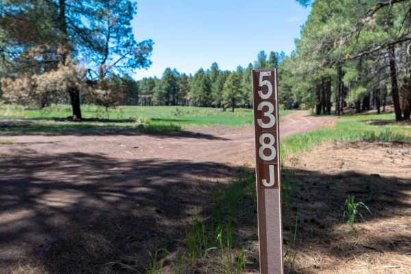
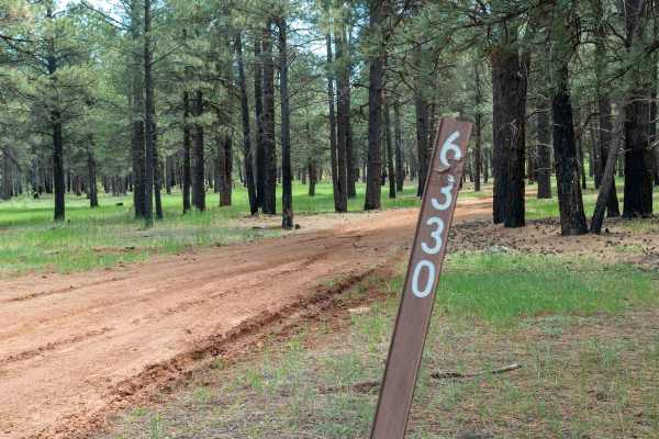
Backward Tank is an easy, scenic 3.7-mile unpaved route in the Coconino National Forest southwest of Flagstaff, Arizona, perfect for beginners, families, and those seeking a relaxing drive with beautiful meadow views. Branching off Woody Mountain Road (Forest Road 231), this relatively flat dirt road winds through towering ponderosa pines and open meadows at an elevation of around 7,200 feet, making it highly accessible for high-clearance vehicles, four-wheel-drive rigs, and SxSs alike. At a double-vehicle width with numerous pull-offs, the route is straightforward and welcoming, but drivers should remain cautious of falling trees and spotty cell service along the way. The trail passes by several local water features, including Phone Booth Tank, Backward Tank, and the scenic Fry Lake, providing a picturesque backdrop for a quick day trip or a weekend getaway. The area is a popular destination for dispersed camping, offering excellent sites suitable for both small setups and larger groups looking to camp under the stars. Because of its scenic appeal and proximity to Flagstaff, it can become quite busy on weekends, so arriving early to secure a prime campsite is highly recommended. The road is not maintained during the winter months, and the dirt surface quickly turns into deep, slick mud during wet weather or monsoon seasons, requiring four-wheel-drive to navigate safely. To preserve the pristine Arizona landscape and protect local wildlife habitats, visitors must stay on designated roads and strictly avoid driving in the fragile meadows.

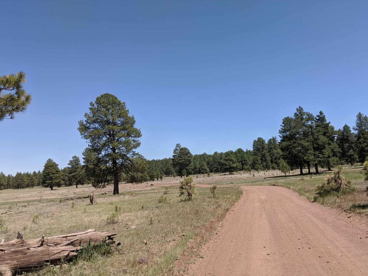
Photos of Backward Tank

Difficulty

Not winter maintained, muddy when wet.

Technical Rating

1

Status Reports

Add Status Report
Bear Yava-Coco
Aug 09, 2026
2009 Suzuki DR200
Open
Normal
536 is Open and newly graded. A smooth ride.
Bear Yava-Coco
Mar 17, 2026
2009 Suzuki DR200
Open
NormalDustyMuddy/WetRough/DeterioratedWashboard
This section of the 535 (or the 536...depending on what map you use) was simpler and smoother, but it had some mud ruts running through it. Made for some interesting lines. The Fry Lake's abundance of water also brings a TON of mosquitoes!!! Keep your shield on or you may have an early snack!
Carisa Sharrett
Aug 15, 2024
2023 Jeep Wrangler
Open
Dusty
Well-maintained part of the trail, lots of forest views.
Amer Kokic
Jul 06, 2024
2012 Toyota 4Runner
Open
NormalDustyWashboard
Very busy popular camp area wouldn’t recommend for off roading. Easy trail
Corrine Carter
Aug 05, 2023
2011 Jeep Wrangler
Open
Normal
Michael Dorrett
Jul 21, 2023
2021 Jeep Gladiator
Open
Normal

Backward Tank Trail can be accessed by the following ride types:

  • Single Track
  • 50 Inch
  • 60 Inch
  • High Clearance
  • Full Width

Access Description

This route is located within the Coconino National Forest and is not maintained during the winter. The road becomes extremely muddy when wet, and users must stay on designated roads and avoid driving in the meadows. No permits or fees are required for general access.

Backward Tank Map

The onX Offroad Difference

onX Offroad combines trail photos, descriptions, difficulty ratings, width restrictions, seasonality, and more in a user-friendly interface. Available on all devices, with offline access and full compatibility with CarPlay and Android Auto. Discover what you're missing today!

Open Trail Map