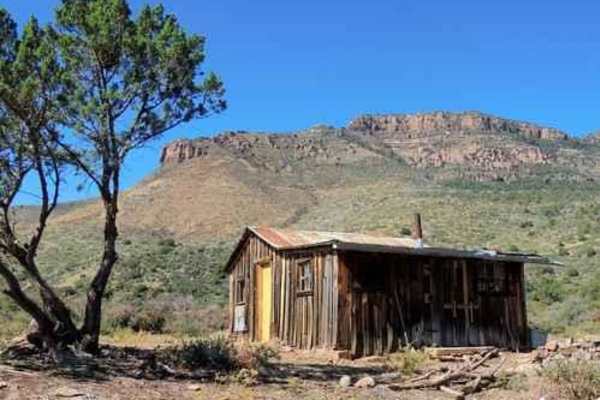
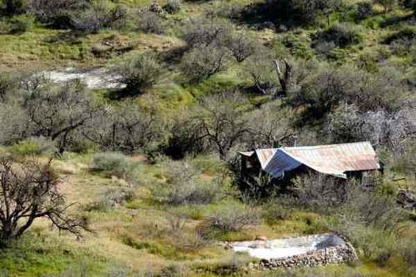
Angel Wings

Total Miles 2.9
Technical Rating
3 Easy
Best Time Fall, Spring
Trail Type High-Clearance 4x4 Trail
Accessible By
Open Trail Map

Trail Overview

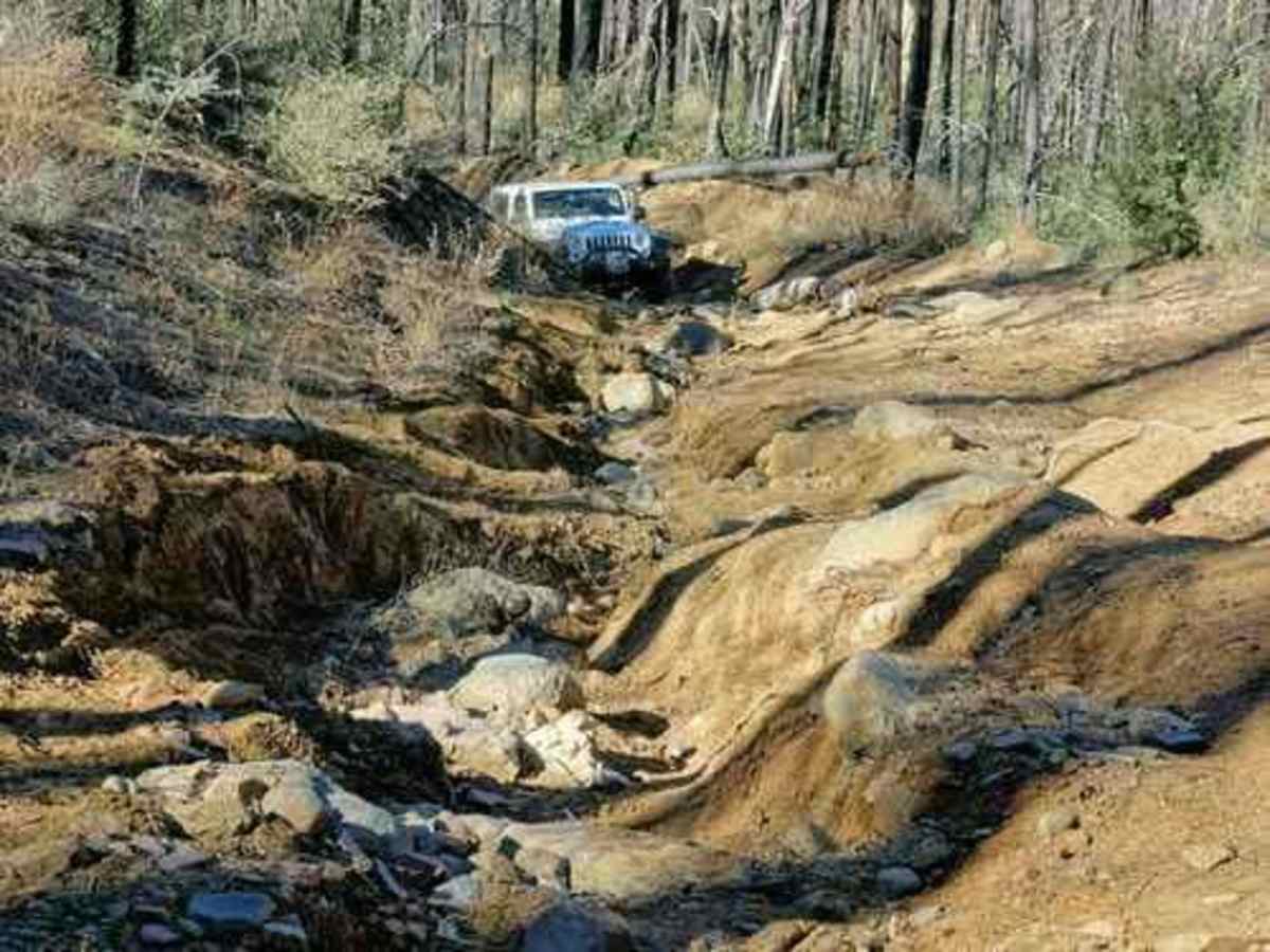
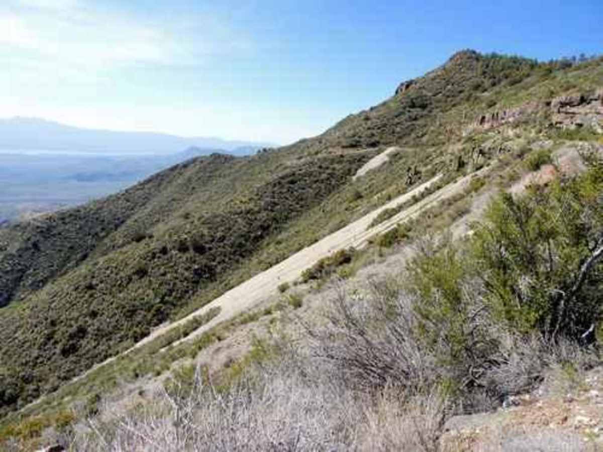
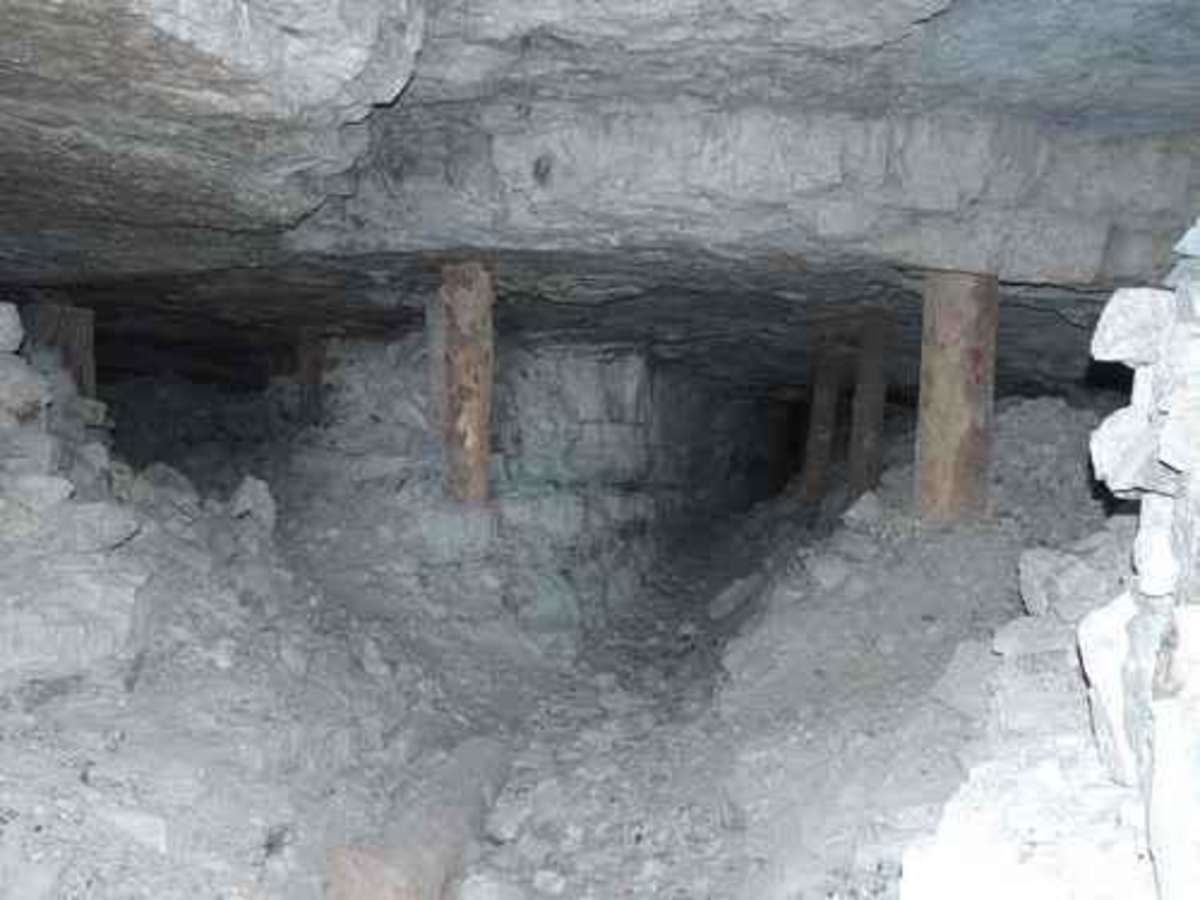
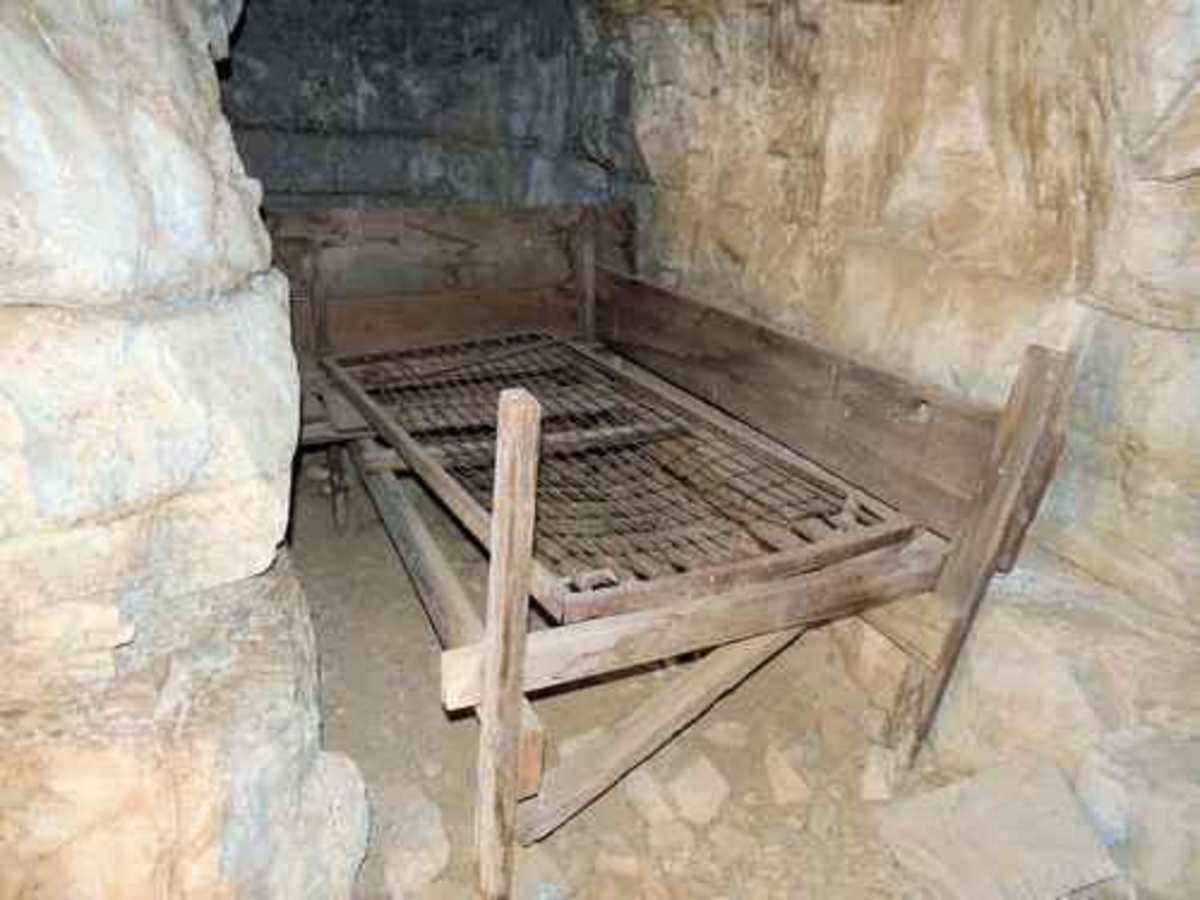
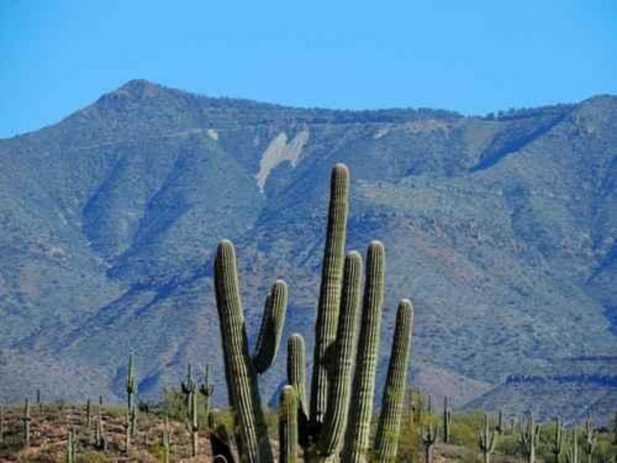
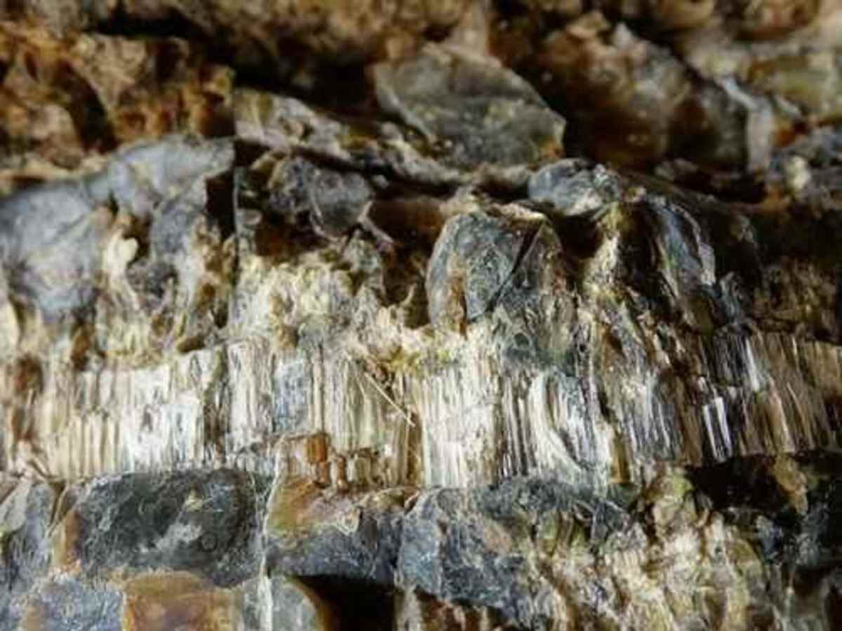
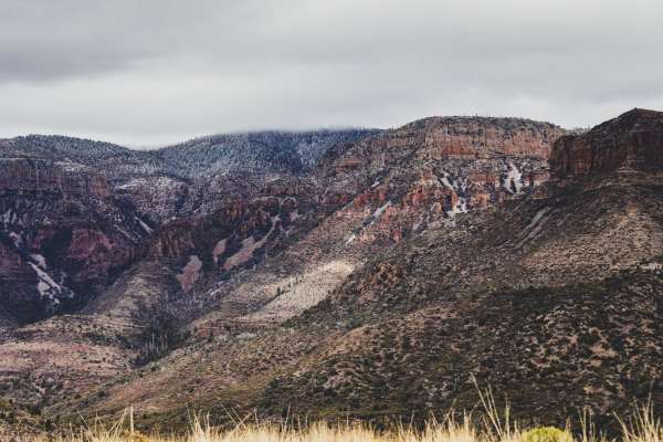
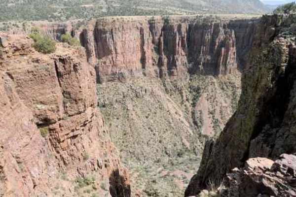
The road up to the mines is through heavy timber with recently burned areas in the upper section, and can easily be blocked by burned trees blown down or washed into the trail. Take a chainsaw if you want to be sure you can get to the top. The lower part of the road washed out in 2016 but has been repaired as of 2018. The upper part has been washing for years and has not been repaired. The rebuilt road starts out easy for the first mile. After that, the trail is more difficult and you may find down trees. The repaired road ends at an old gauging station and an abandoned truck in Pocket Creek, and a waterfall on a side canyon of Pocket Creek. There is a boulder area and a narrow, tippy spot just above the repaired section. You should stop driving at the top of the first wing. The road is passable beyond this, but there is no room to turn around. There are numerous mines that are open for inspection, but these two are the easiest to access. Health officials will warn you to stay completely out of the mines because of the risk of asbestosis. Probably a good idea. We went into these two mines only far enough to snap a few photos.Angel Wings were formed by tailings from asbestos mines on the American Ores claim. Information from the Arizona Mines and Minerals Resources indicates there are 32 contiguous claims established by Charles Watkins in 1915. Mines were active until 1927, then ceased production in 1947. There was a varying level of activity up to the early 1960s.

Photos of Angel Wings

Difficulty

The upper part of the trail is a strong 3.0. A lot more boulders and quite a bit of gullying. Fun for a well-equipped Jeep.

Technical Rating

3

Status Reports

Add Status Report
Jason Jester
Apr 21, 2026
Open
Trail is open but washing out due to a recent fire. This trail is a 4/10 at least due to the wash out. Cut down multiple fallen trees with a chain saw. You might be better off having one as lots of trees remain that could still fall. Good chance of tire damage if you don’t move trees along the way. We cleared the path as we went. Currently open. When it snows this trail is a 7/10.
Frank Wyrick
Mar 13, 2026
Open
The trail was fun and a bit challenging in spots. I think the rating of 3 is underrated. Judging by the other 4 and 5 rated trails I would place it at a 5/10.
Andy Arneson
Jan 20, 2026
Open
Fullsize Chevy
Jan 18, 2026
Open
This was a rough trail! It was a little wet with some snow in places but definitely not sloppy! 1st part was easy but there were many downed trees lots of boulders and rocks with some difficult obstacles and turns. We made it to about 1/2 mile from the top and had to walk due to too many downed trees across the path. Someone rated this trail a 3, it must have changed a lot since then because I would say it’s a solid 6. I would say it would be easier in the razor but a full side truck there were a few hold ya breath moments. Keep in mind there is only one or two places to turn around and those are not easy, so be sure how far you want to go up. Still the views are breathtaking and well worth the hike up there. At the top there are a few mines and the angel wings you can see from the lake are right there. We did not go in the mines due to asbestos reports but still cool. Enjoyed the days lots of fun with some hairy moments lol.
Sam
Nov 02, 2025
Open
trail was blocked by fallen trees from recent storms and the fire. We cleared the trail on our way up.
Kent Kent Johnson
Oct 27, 2025
Open
About a 1/4 mile in, it gets uphill wash-out from burn zone damage from several years ago. the road is open, but is a serious rock climbers delight.
bryan rapoza
Oct 06, 2024
Open
Trail impassable as of 10/06/24, significant erosion and downed trees
Rob Talbot
Aug 24, 2024
Open
Eroded
Brian Benson
Jan 18, 2024
Open
Was up there around September of 2023 and the road is very very washed out. Will need high clearance vehicles and most likely lockers to make this road now.

Angel Wings Trail can be accessed by the following ride types:

  • Single Track
  • 50 Inch
  • 60 Inch
  • High Clearance

Angel Wings Map

The onX Offroad Difference

onX Offroad combines trail photos, descriptions, difficulty ratings, width restrictions, seasonality, and more in a user-friendly interface. Available on all devices, with offline access and full compatibility with CarPlay and Android Auto. Discover what you're missing today!

Open Trail Map