Trail Overview
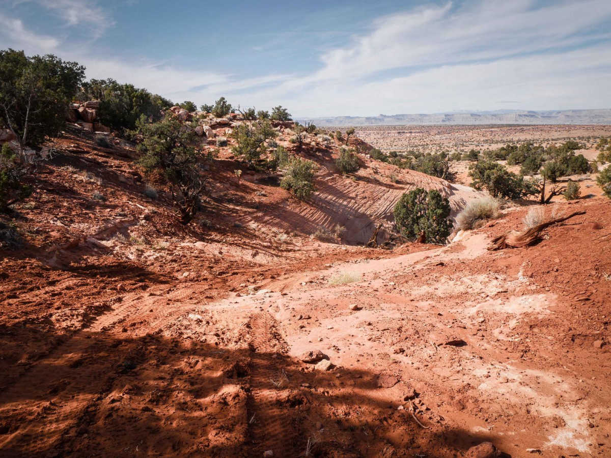
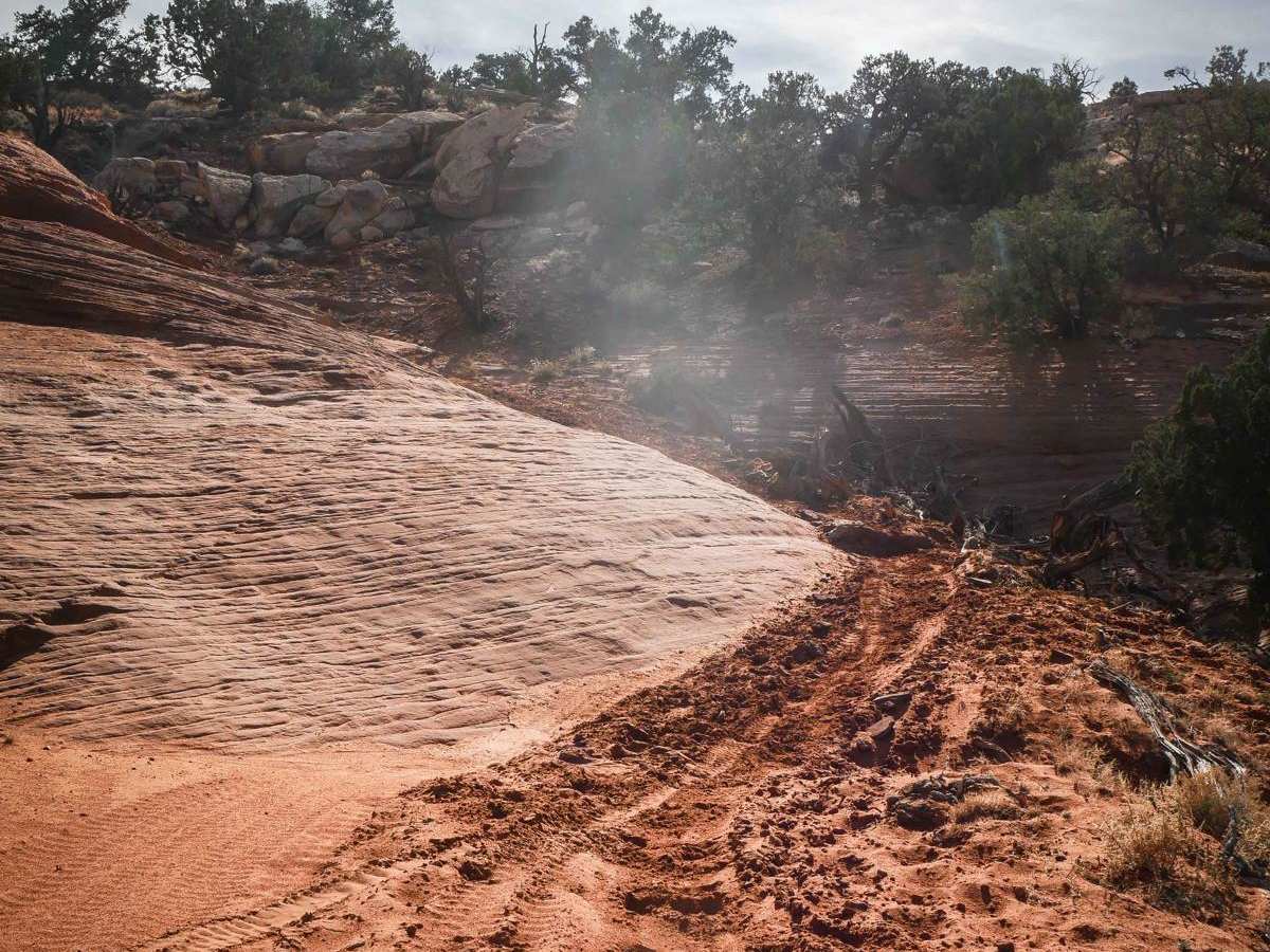
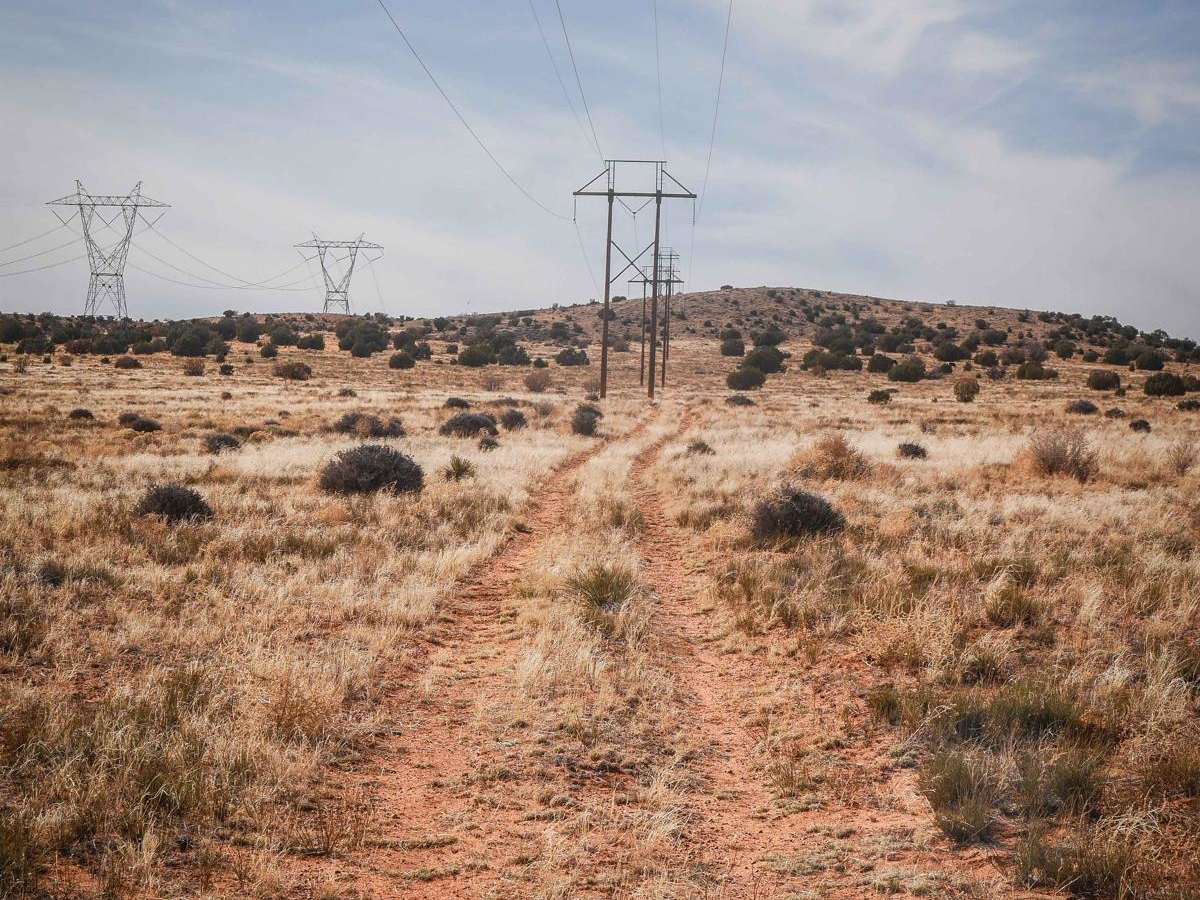
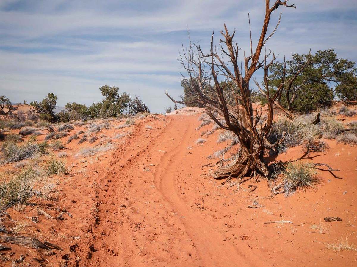
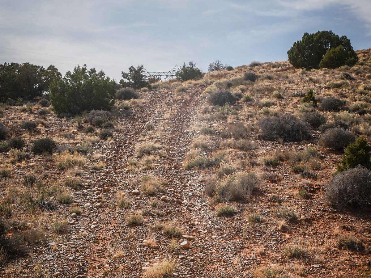
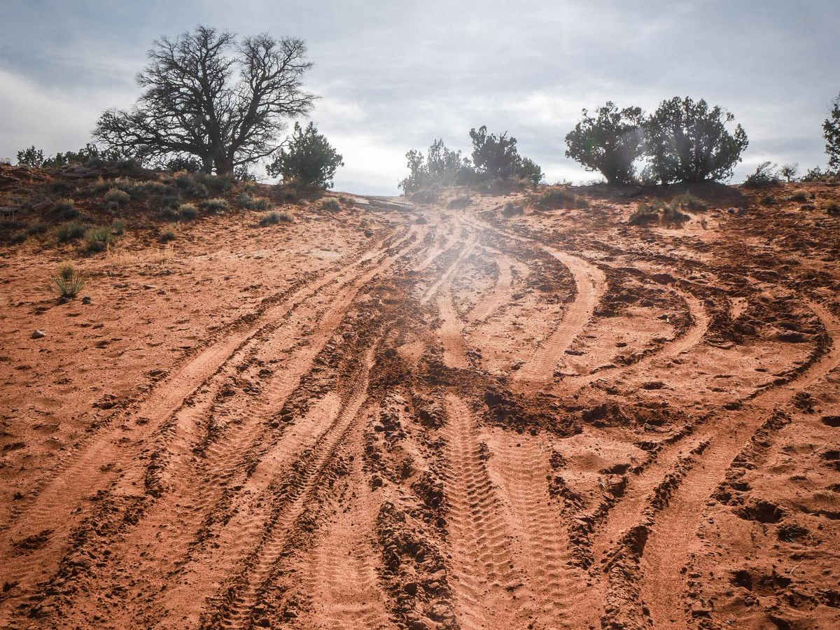
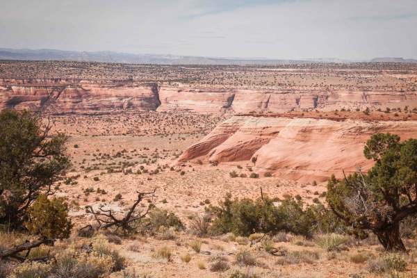
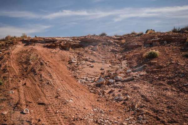
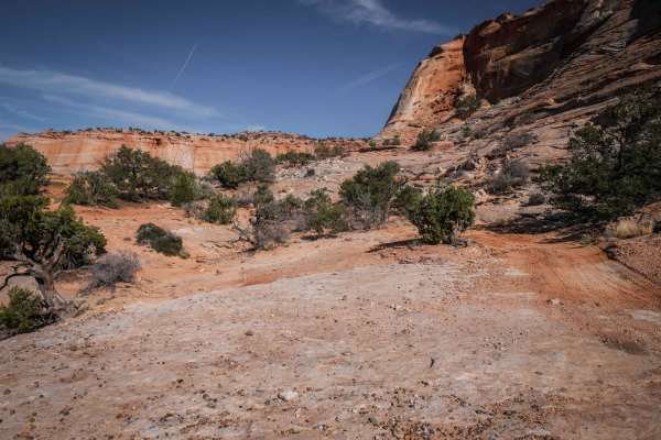
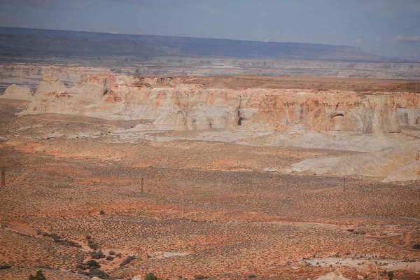
From the east entrance, 6135 starts on a faint powerline trail at the intersection with 6115 and 1094, just above the Utah/Arizona border. It has some small hills with loose rock as it follows the powerlines, adding some difficulty. The trail gets up high on a ridge overlooking the ravine below it. As it starts to go south, it turns away from the powerlines. It goes pretty straight through pinyon pines, in flat bushy desert terrain, but also starts to get sandier through the west half of the trail. It meanders on the pink and red mesas, and dips in and out of several sandy washes, some sections being deeper sand and less hardpacked. This road brings you through one of the higher points in this area, at almost 5,900 feet of elevation, so it has pretty good views looking over the whole valley. Some of the other more technical features of the trail are slight grades up and down with loose rock, slab rocks in the surface of the trail, and one off-camber obstacle that makes it a 4 difficulty. This one obstacle is an off-camber layer of sandstone that extends out into the trail in a narrow sandy spot, so there's no other way around it. There is sand on the low side of the slanted layer of sandstone, so you have to drive one side on the sandstone and the other in the sand to get around it. It's not that bad of an obstacle for a high-clearance 4x4 vehicle, but definitely adds an element of difficulty. The trail ends back under the powerlines when it intersects with Judd Hollow Spring.
Difficulty
Most of the trail is a 2 difficulty, with easier sections of loose rock, sandy sections, and wash crossings. It is a 4 difficulty due to one off-camber obstacle where you have to go around a layer of sandstone jutting into the trail that is slanted with sand on the low side.