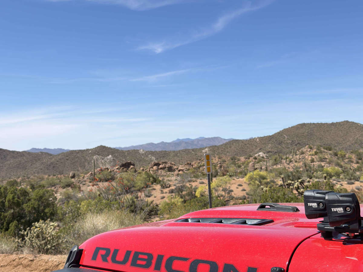
Trail Overview
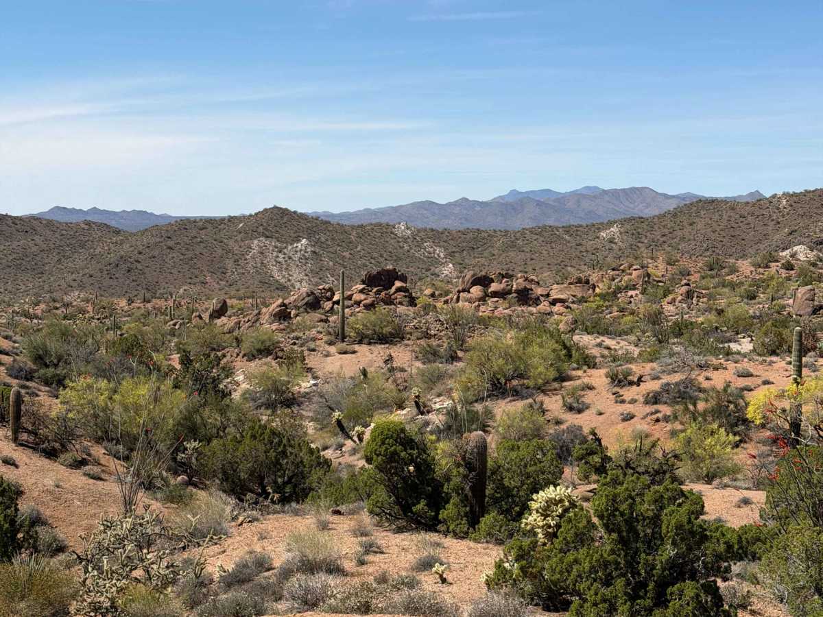
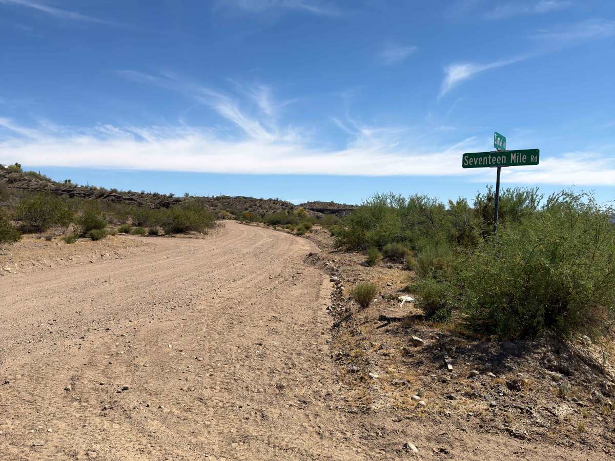
17 Mile Road is a remote desert connector best suited for experienced offroaders looking to access the Signal Ghost Town Trail or explore the rugged terrain near the Arrastra Mountain Wilderness. This moderately difficult route offers classic Arizona backcountry driving with scenic views and solitude—but requires a capable vehicle and self-sufficiency.
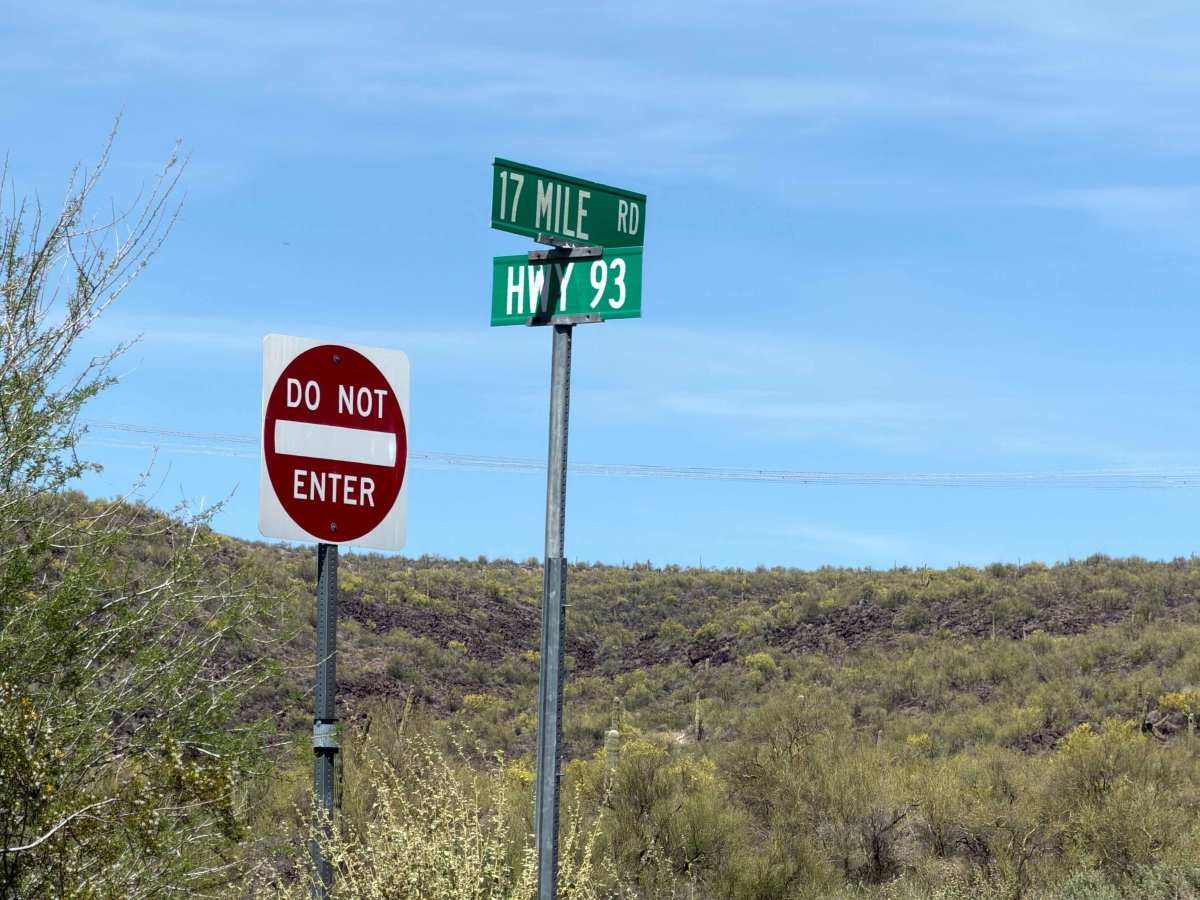
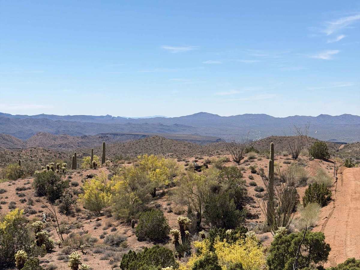
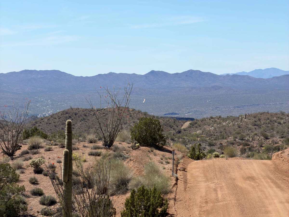
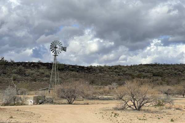
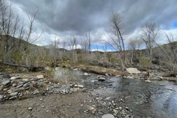
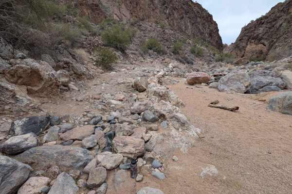
Running between U.S. Highway 93 and the Signal Ghost Town Trail, 17 Mile Road travels across BLM land in Mohave County along the northern edge of the Arrastra Mountain Wilderness. The road is primarily dirt and gravel, with stretches of loose rock and wash crossings that demand high-clearance 4WD, especially after rain. While it’s generally open year-round, erosion, deep ruts, and flash flooding during monsoon season can render sections impassable. Though motorized use is permitted, it's critical to stay on the designated track to avoid violating wilderness boundaries. Cell service is spotty to nonexistent, and there are no services along the route, so come prepared for backcountry travel.
If you're running aired down through this area, keep a close eye on sharp basalt outcrops in the washes—sidewall punctures are one of the most common trail-enders out here.
Difficulty
Easy to moderate. More about distance, isolation, and changing conditions than obstacles. There are a few short, steep elevation gains and losses.