Trail Overview
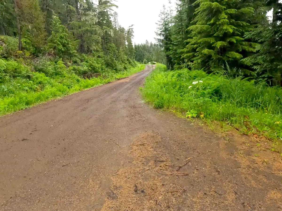
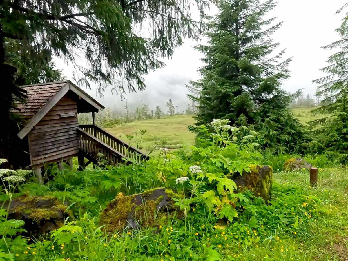
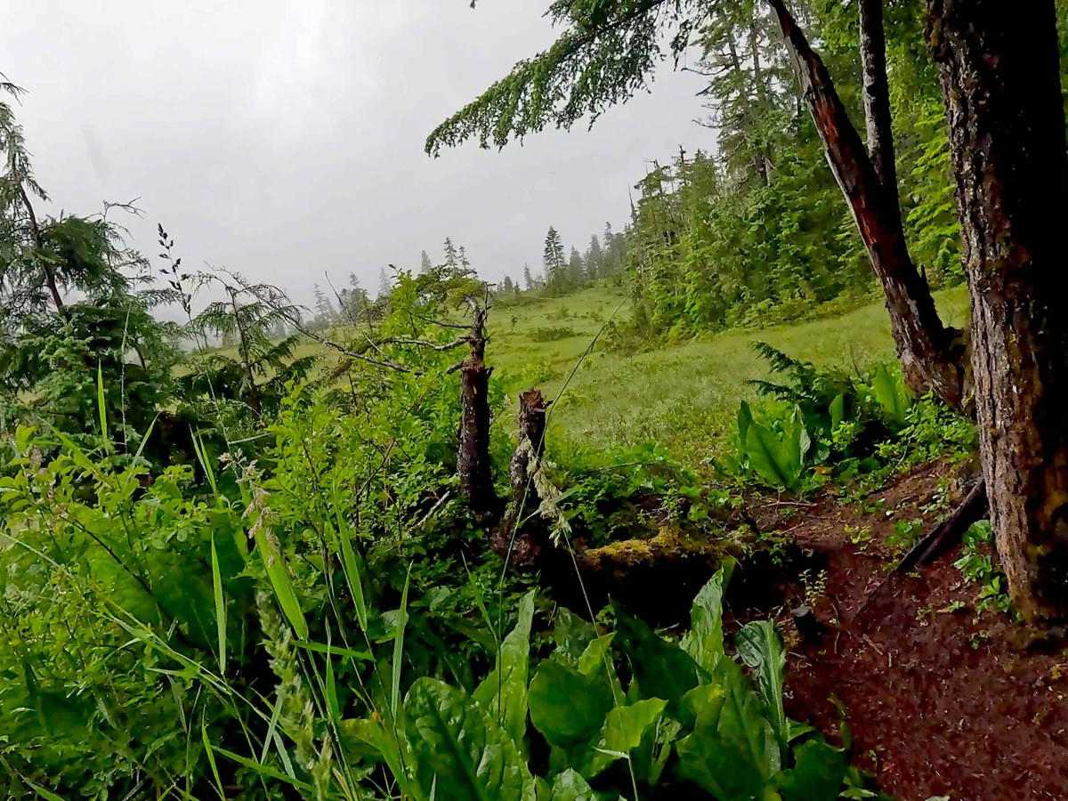
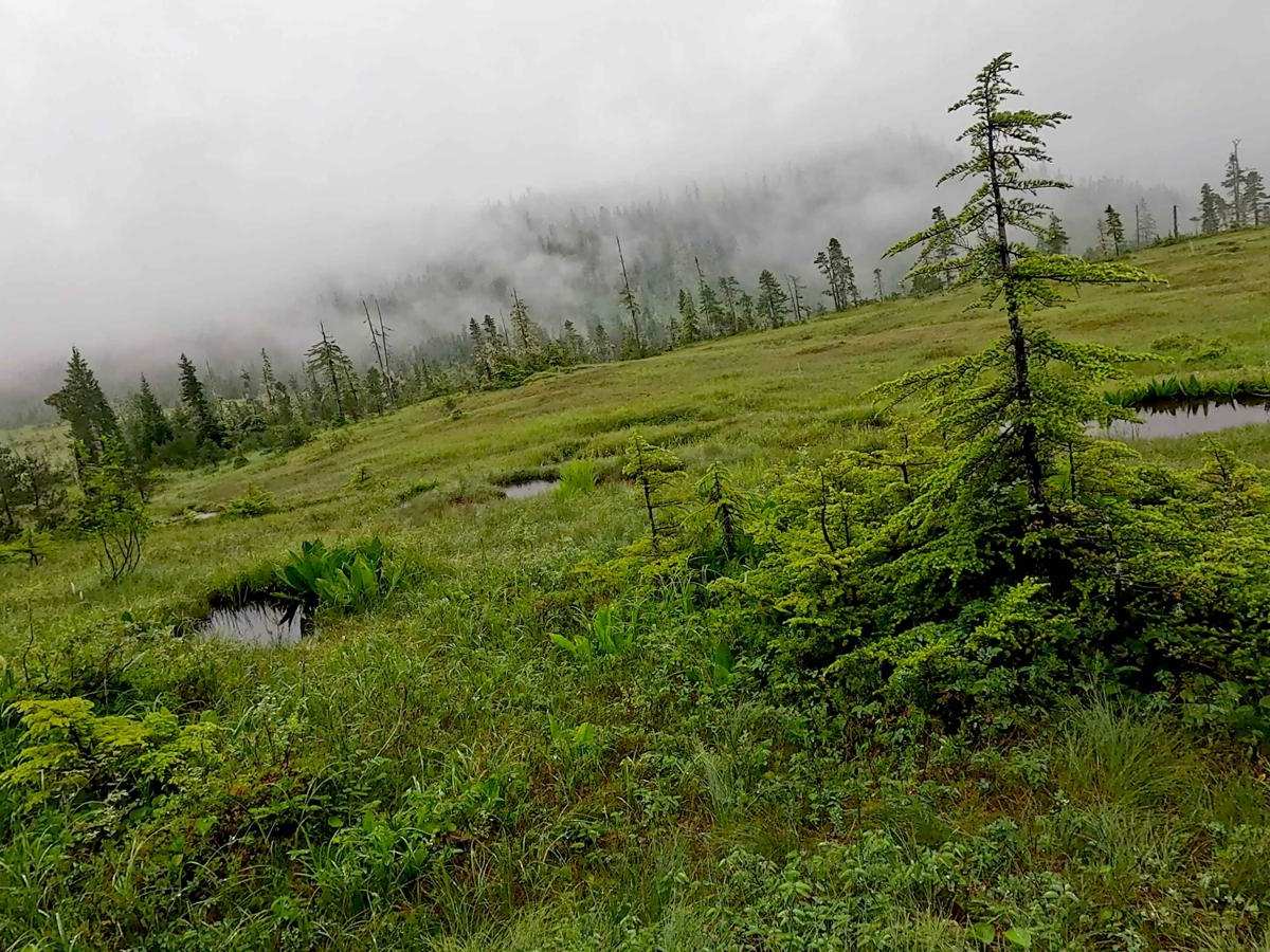
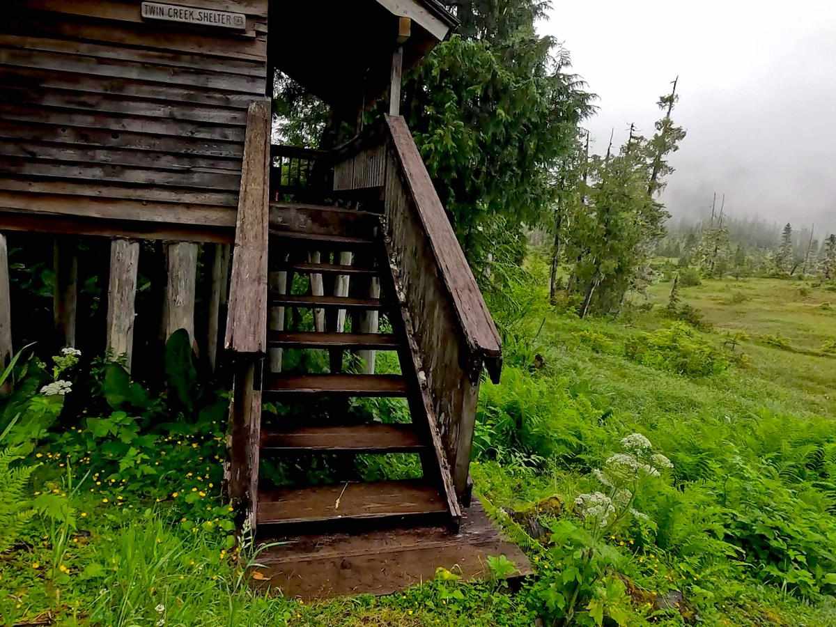
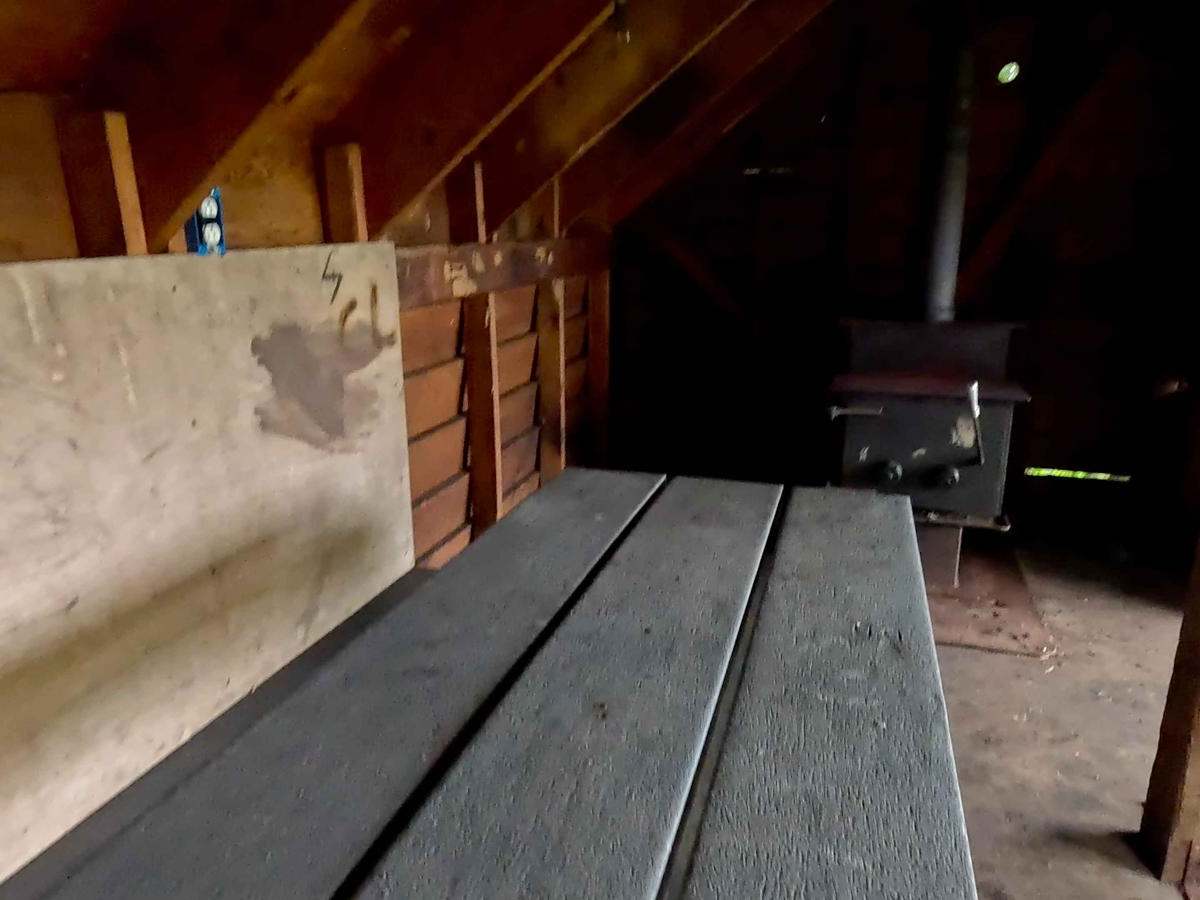
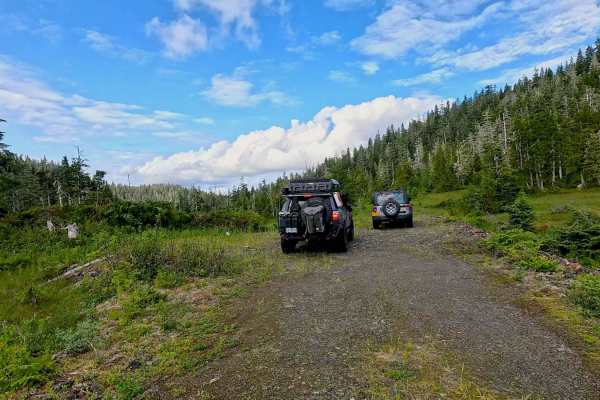
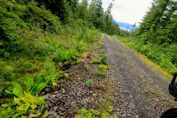
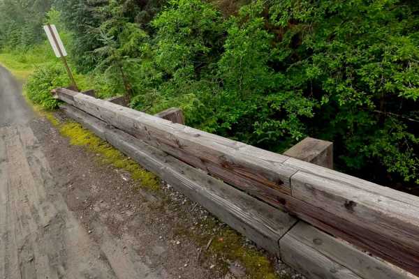
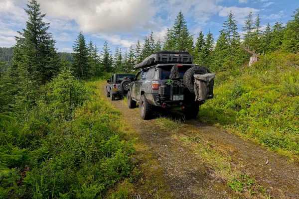
This is a dirt and gravel road that has two connecting roads Boundary 6212 and Paint 6210, and continues past Twin Creek Shelter with a nice campsite and warming hut overlooking a nice meadow and muskeg. There are 4 campsites along this road. Mostly, this drive is through a wooded area and goes over many creeks as it gains elevation. There is access to the Frenchy Ridge Snowmobile trail and shelter from this road. Road is rated a 2 as it is mostly 1 lane, but several pull-out areas and the road is more even and compact. Large Ferns, skunk cabbage, Devils club, a variety of trees, shrubs, and flowers line this road, and the road travels through muskeg and trees. Warnings: Keep on the road, there is a drop off in some areas, watch for signs of road deterioration or washouts due to heavy rainfall. There is lots of wildlife, especially Bears. No cell service noted. Check weather conditions and be prepared for rain, fog, with low visibility, and lower temperatures. It is a rainforest. Note: This is a down and back road.