Trail Overview
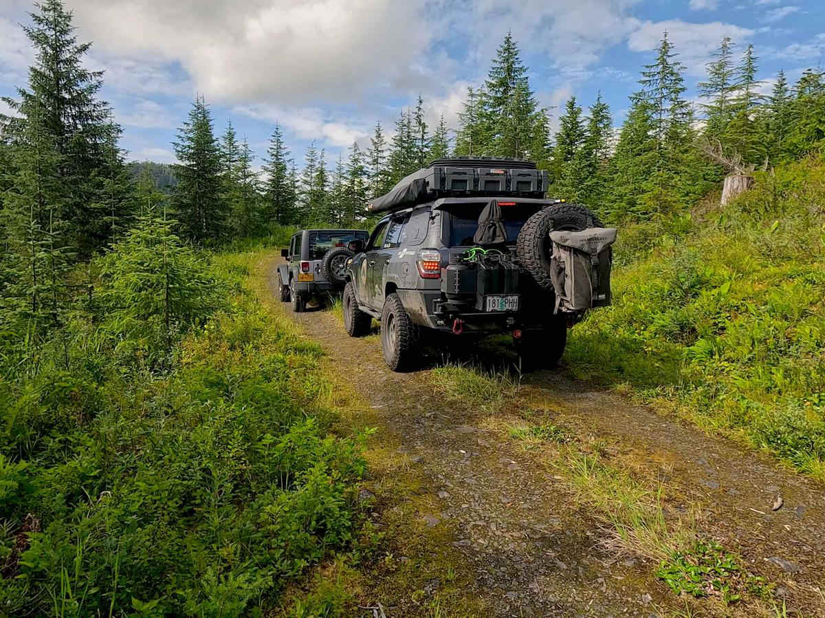
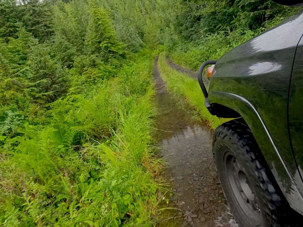
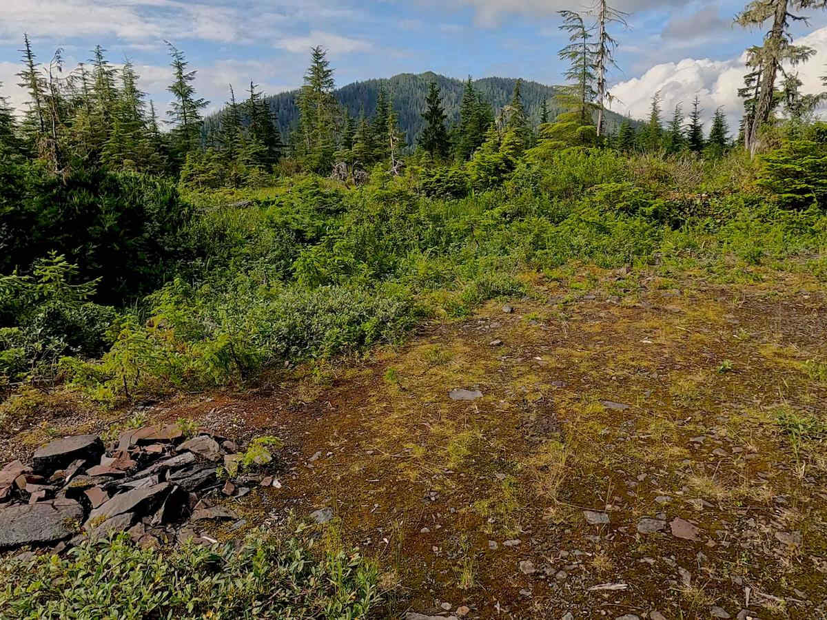
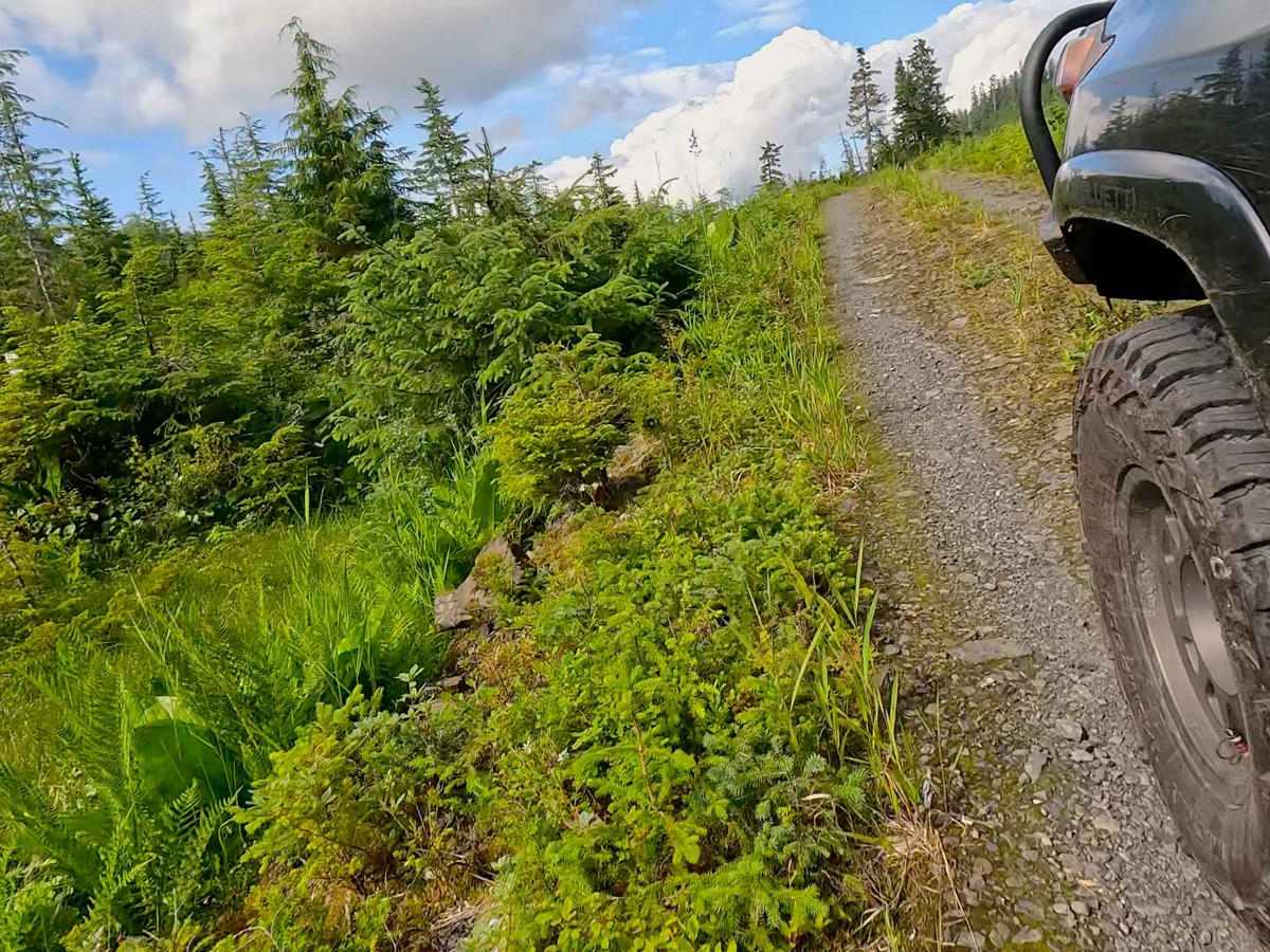
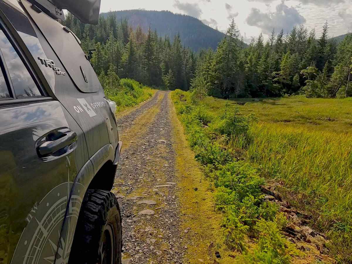
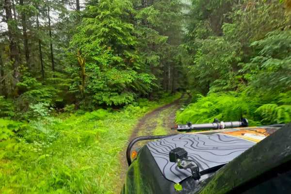
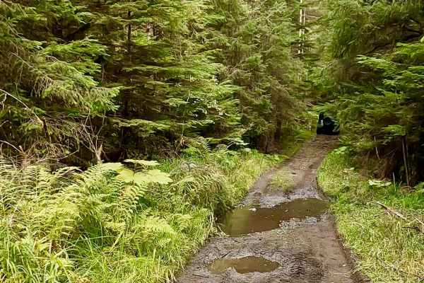
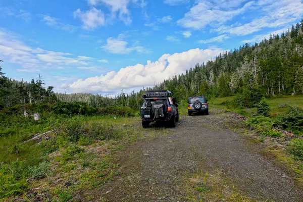
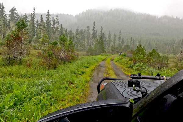
Frenchy starts at Fredrick 6204 and is mainly compacted. Large rip rap and gravel with grass and moss are growing in some areas of the ad. This road is very uneven and has areas of larger rock and grass and moss growing over the ad. The stones are very sharp, so watch your side. This road climbs in elevation to the end, with some sections that flatten out a bit to hold it. There are some more enormous potholes and strop-offsets on both sides. There are four campsites on this road, with the last campsite being the most significant and nicest area for camping with a view overlooking Fredrick S nd. Large Ferns, Skunk cabbage, Devils Club, and various trees, shrubs, and flowers line this road, and the road travels by a rock pit, muskeg, trees, and smallwaterfallss. From the top, views of scenic landscapes, trees, and muskeg show Fredrick Sound.Warnings: Keep on the road. There is a drop-off in some areas; watch for signs of road deterioration or washouts due to heavy rainfall. Be mindful of wildlife, especially Bears. No cell service noted weather conditions, and be prepared for rain, fog with low visibility, and lower temperature res. It is a rainforest.Suggested best time of year: June - OctoberNote: This is a down-and-back road