Trail Overview
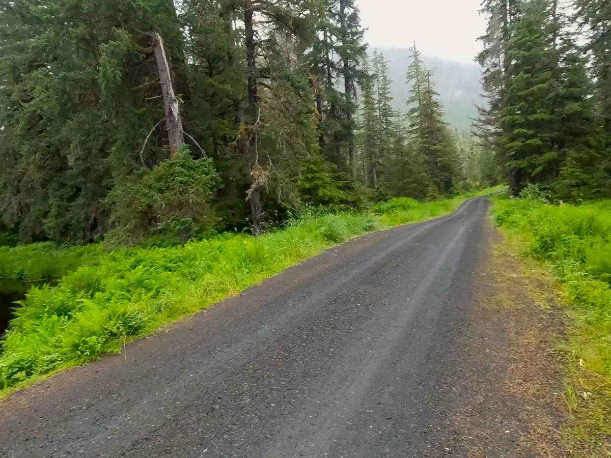
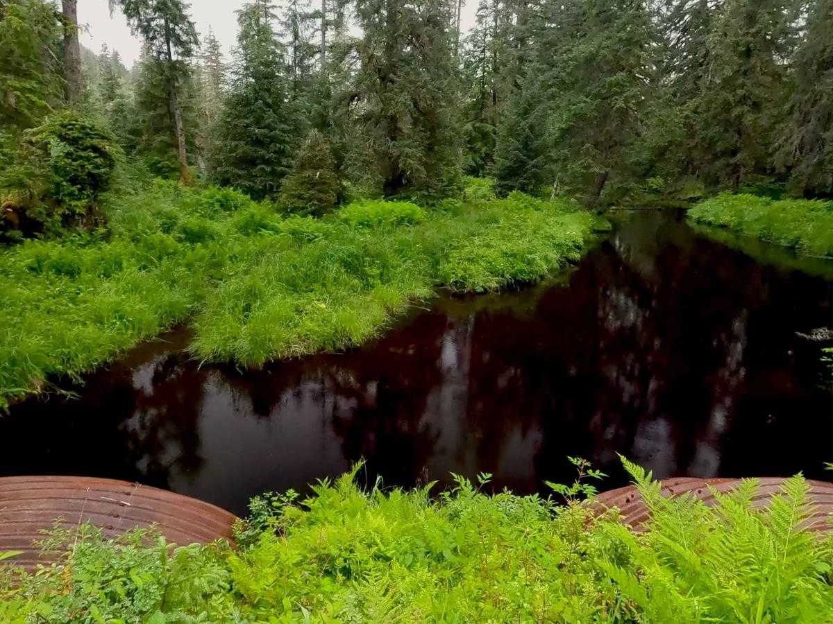
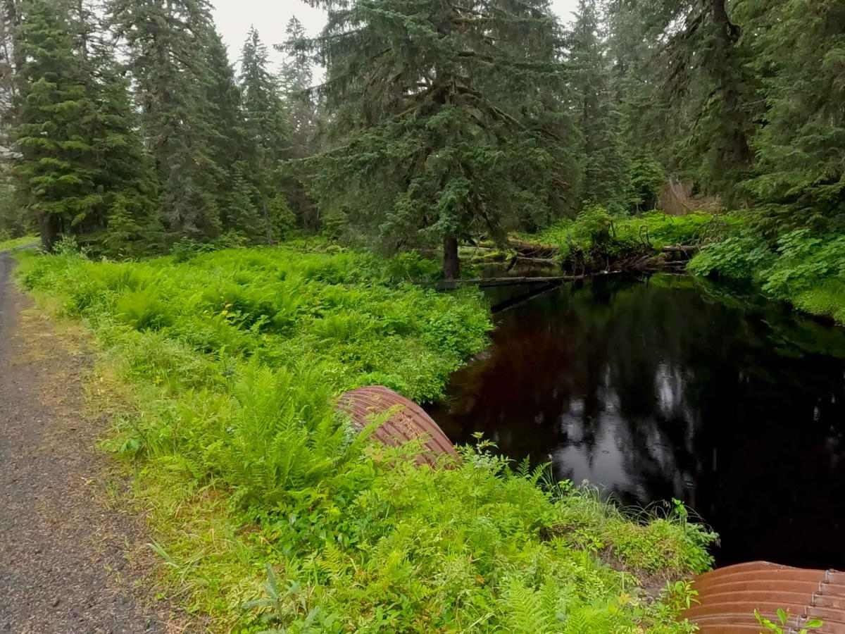
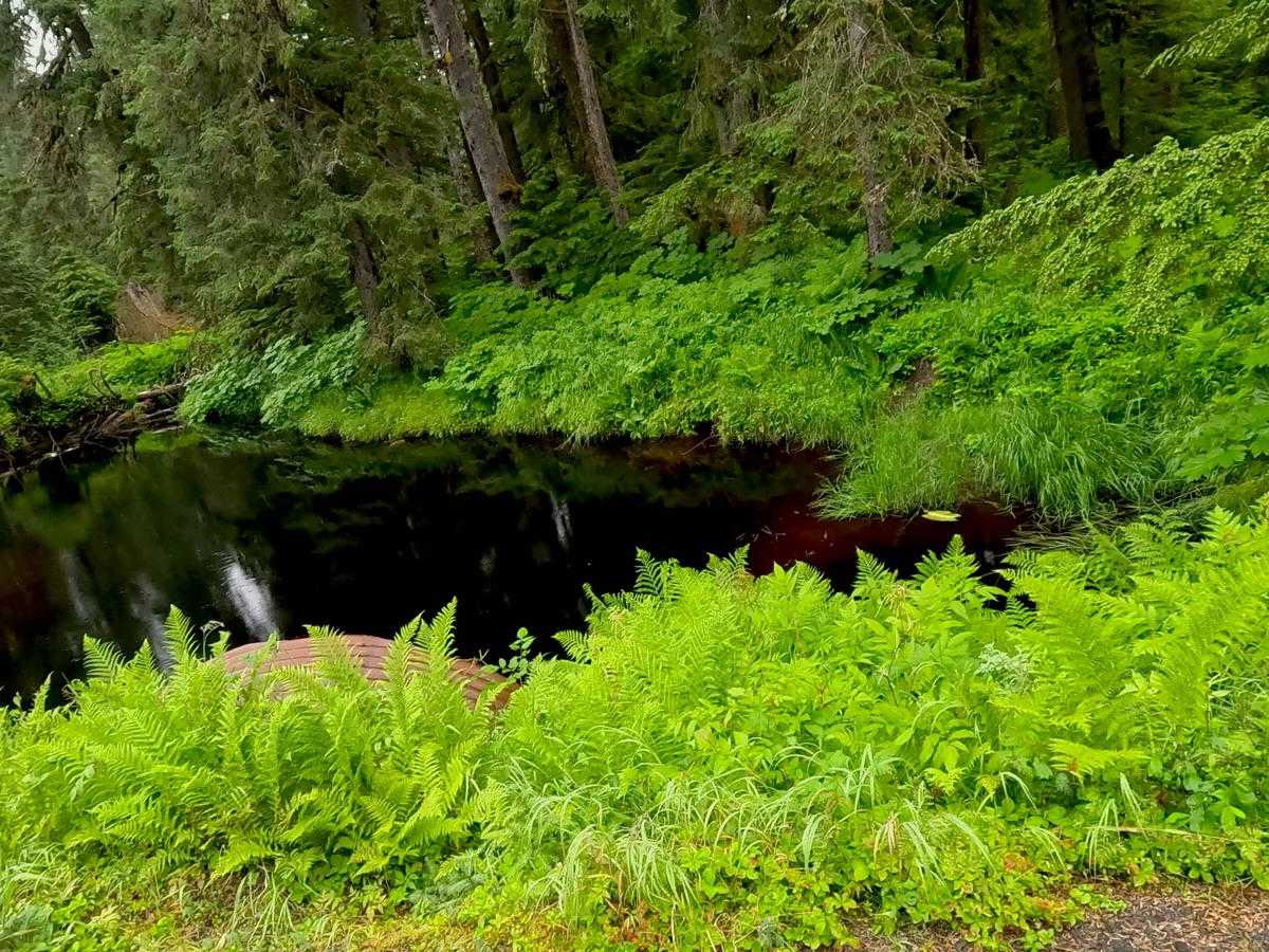
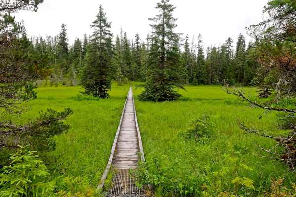
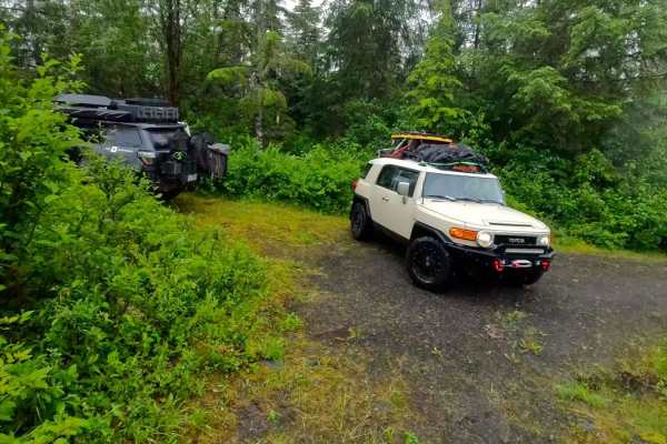
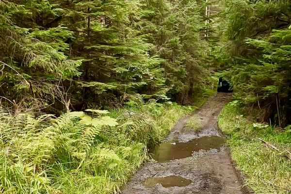
Froot Loops Road can be accessed by Highway 7 or Three Lakes Loop Road and has 2 spur roads, There is one campsite on Froot Loops. 40000, Froot Loops Spur 1 has 2 campsites at the end of both Y sections, and Spur 2 has one campsite. There is a lot of wildlife in this area. Be safety minded as there is a sign of Bear, Moose, Porcupine, Deer, and Wolves are known to be in this area. There are views of muskeg/wetlands and treed areas. Large Ferns, Skunk Cabbage, tall grass, a variety of trees, lichens, moss, and flowers can be seen along the road. Views: Forested scenics, Meadows, Valleys, and Muskeg/wetlands can be seen along the road. There is 1 small dry camping spot at the end of the road. Warnings: Keep on the road (Muskeg and wetlands), watch for signs of road deterioration or washouts due to heavy rainfall. Be mindful of wildlife, especially Bears. No cell service noted. Check weather conditions and be prepared for rain, fog with low visibility, and lower temperatures. It is a rainforest. Suggested best time of year: June - October.
Difficulty
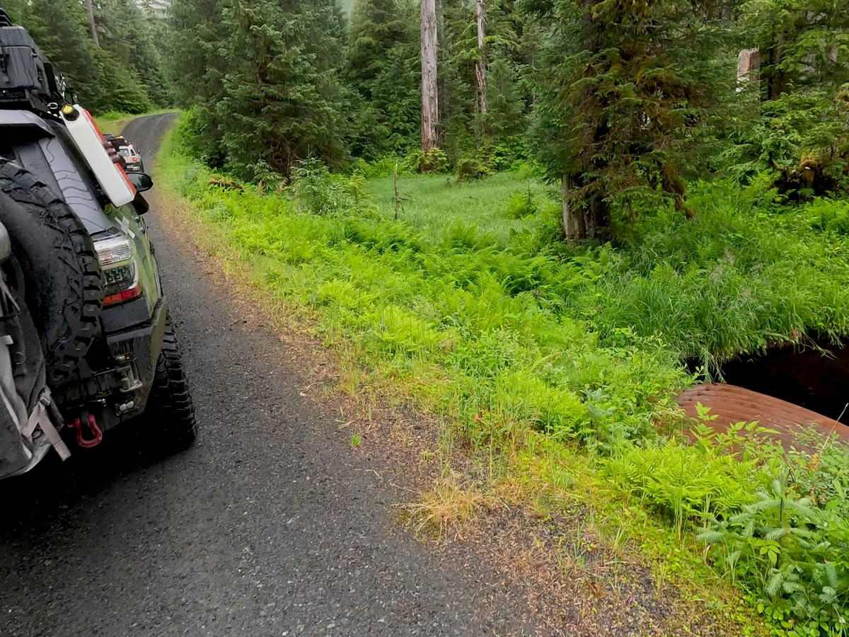
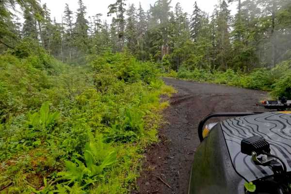
Froot Loops Road is rated a 2 as it is an easy drive with nicely maintained Gravel. It is a large one lane road with many pull outs and is a nice forested drive with some muskeg/wetlands. It crosses over many creeks with Culverts under the road. There are some smaller potholes, and the road is hilly.