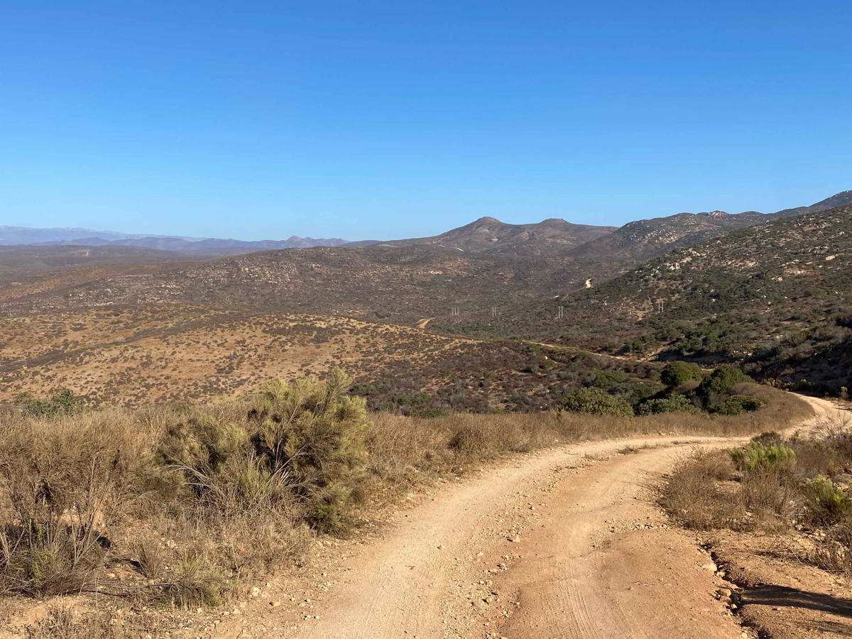
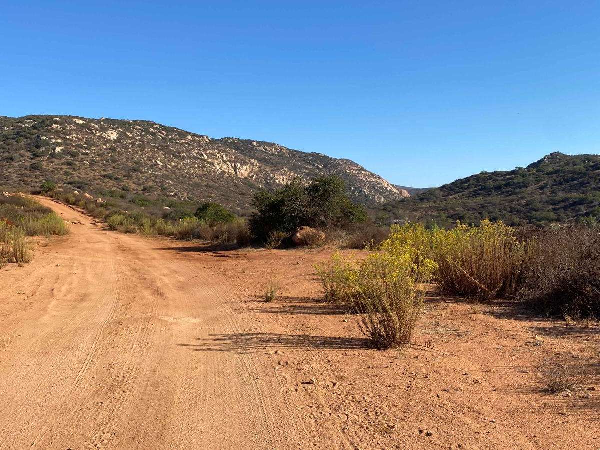
Trail Overview
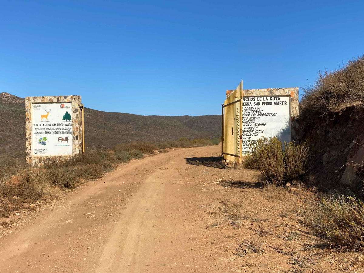
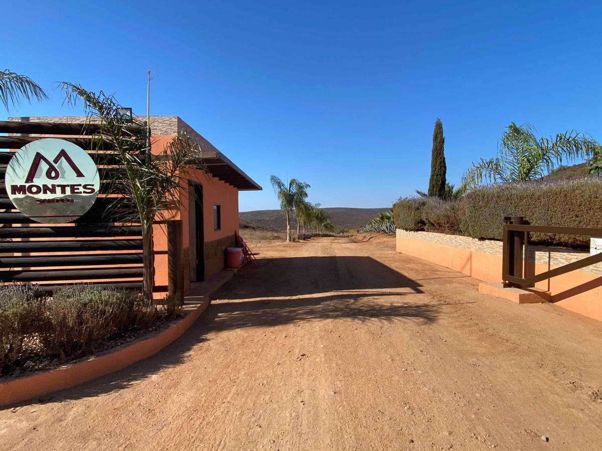
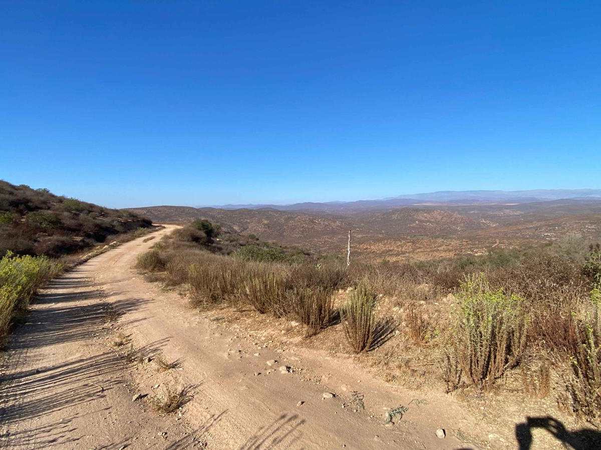
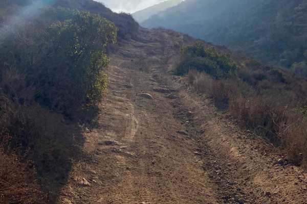
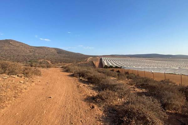
The off-road trail begins in the town of Emilio Zapata and follows a well-maintained road up to Montes Farms, a high-end property where a security guard may be stationed at the gate. Permission to pass is generally granted since the road ahead is part of a government-sanctioned route to San Pedro Martir, but showing a photo of the gate can help confirm your familiarity with the path. An alternative go-around, located about half a mile back, may be open if needed. On this occasion, the guard hesitated, possibly expecting a tip, which was not given. After passing the farm, the road becomes less traveled but remains in good condition, leading to gates that mark the historical route. While the trail was not fully mapped to San Pedro Martir on this day, an alternate return was made through the canyon to Mision Santo Domingo. Upon reaching the top, the San Pedro Martir route becomes accessible, and the next mapped onX trail is only about six miles away, though the map indicates a closed gate and private road ahead. If you choose to descend via Mision Santo Domingo, be prepared for an expert-level route with a much higher difficulty rating, and carefully review the route description before proceeding.
Difficulty
This is a relatively easy, well-maintained route that any 4WD vehicle can navigate. However, be aware that the adjacent trail, which can create a loop with this route, has a significantly higher difficulty rating and should only be attempted with careful planning and consideration.