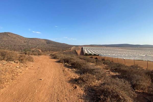
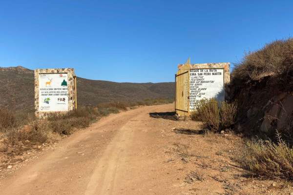
Trail Overview
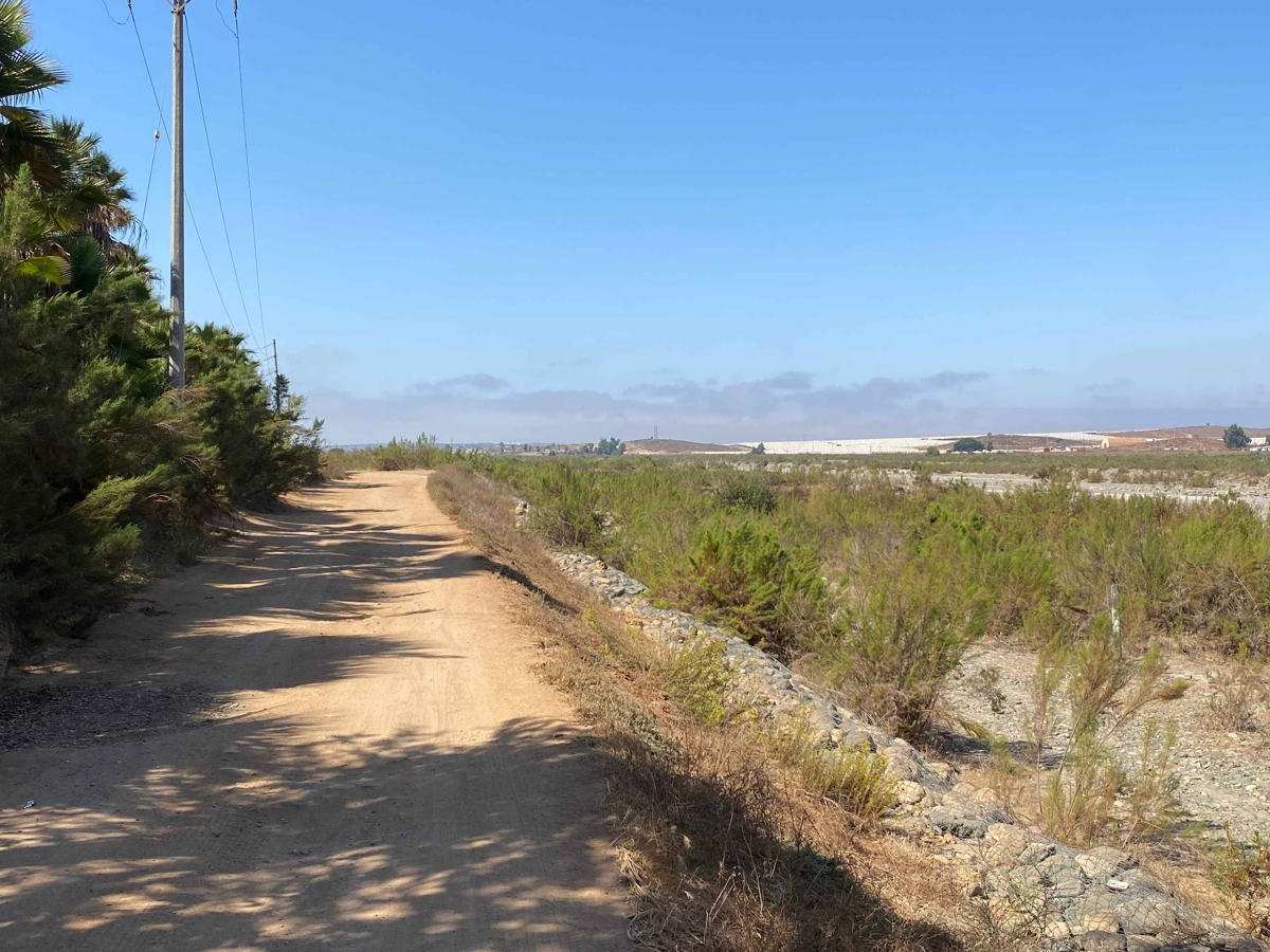
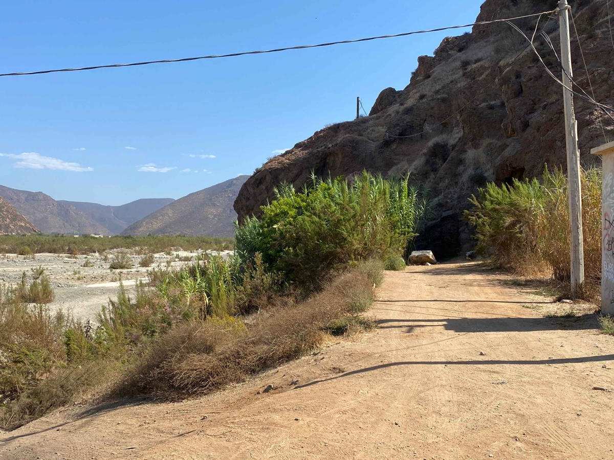
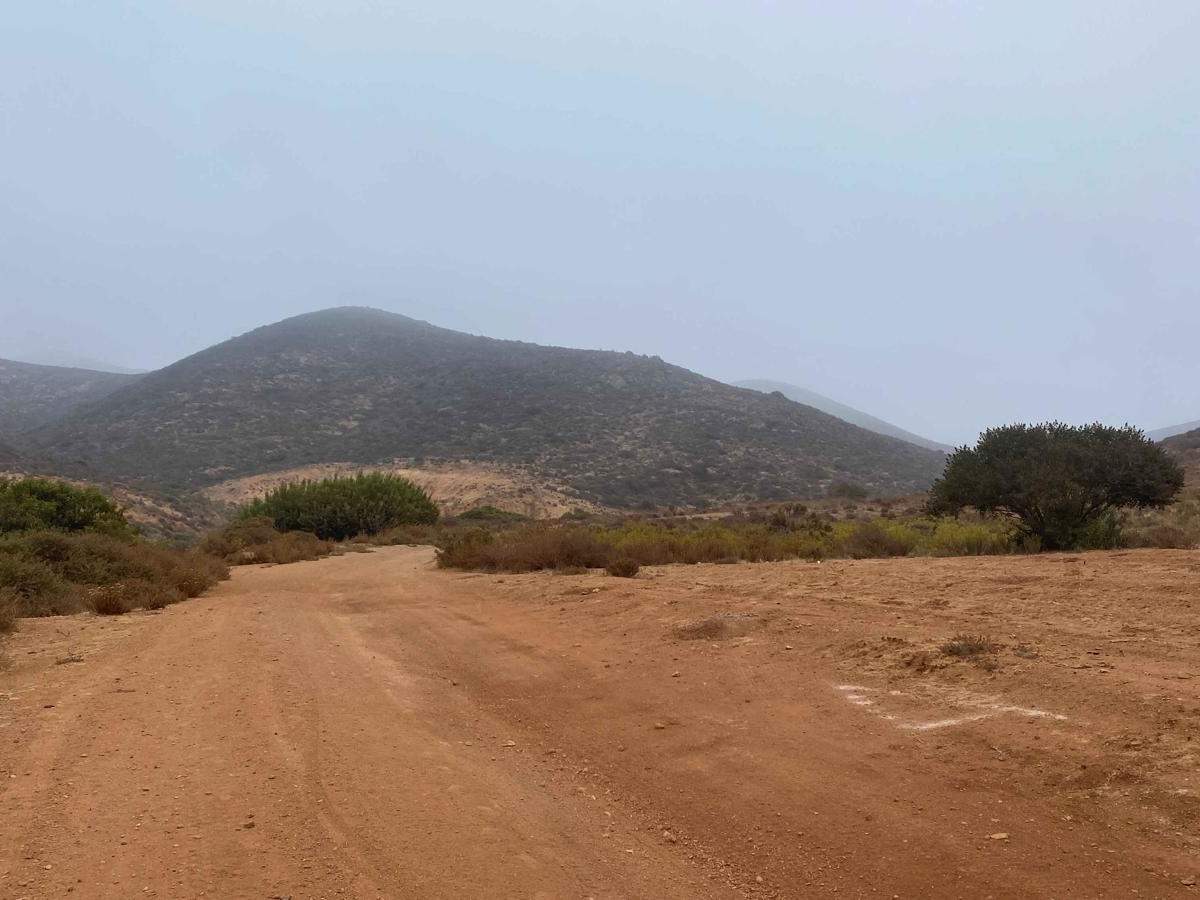
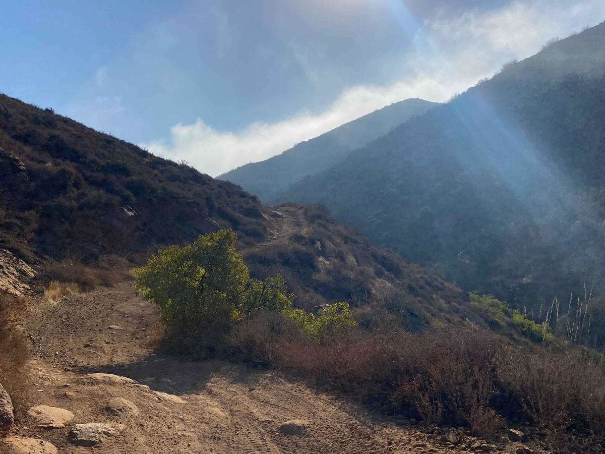
This trail begins near the Calimax store and heads into the hills, though you can also take an earlier turn at the end of the bridge up the Arroyo. After passing the Arroyo, a right turn leads you through a stunning tunnel of trees and flowers, past ranches, and into more remote terrain. After a left turn, you'll pass the starting point of the Cascabel MTB area, where you might encounter mountain bikers sharing the trail. As you ascend into the mountains, it quickly becomes clear that this is a well-used off-road race trail, though it's less worn than many SCORE trails in the region. The climb is enjoyable, offering encounters with rattlesnakes, rabbits, various birds, and beautiful desert vegetation. While the route isn't overly challenging, there are two or three steep sections with rocky, off-camber terrain and deep rain crevices. Once at the top, another route continues beyond, while a milder route to the right descends toward San Quintin.
Difficulty
While this trail isn't classified as highly difficult, there are two or three steep sections that demand precise wheel placement to navigate around deep rain ruts. One particularly challenging section features an off-camber incline scattered with chunky rocks along the steepest part. These trails become significantly more difficult after storms or during rare heavy rains, which can dramatically affect the trail's difficulty rating.