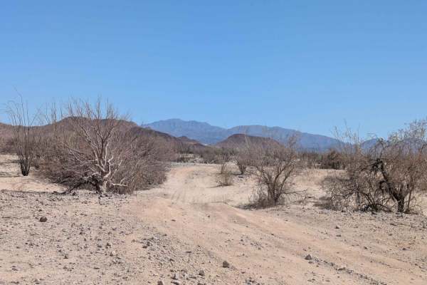
Trail Overview
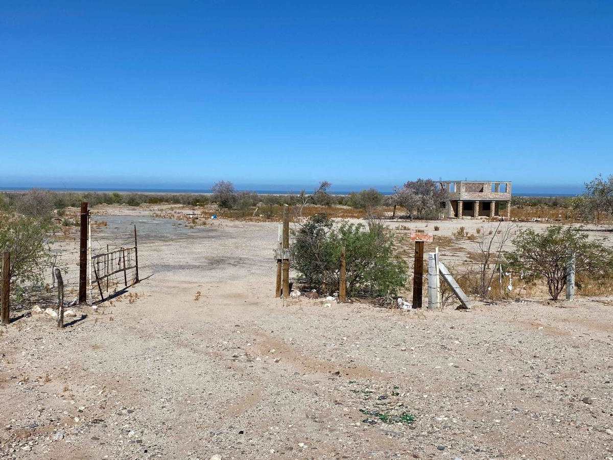
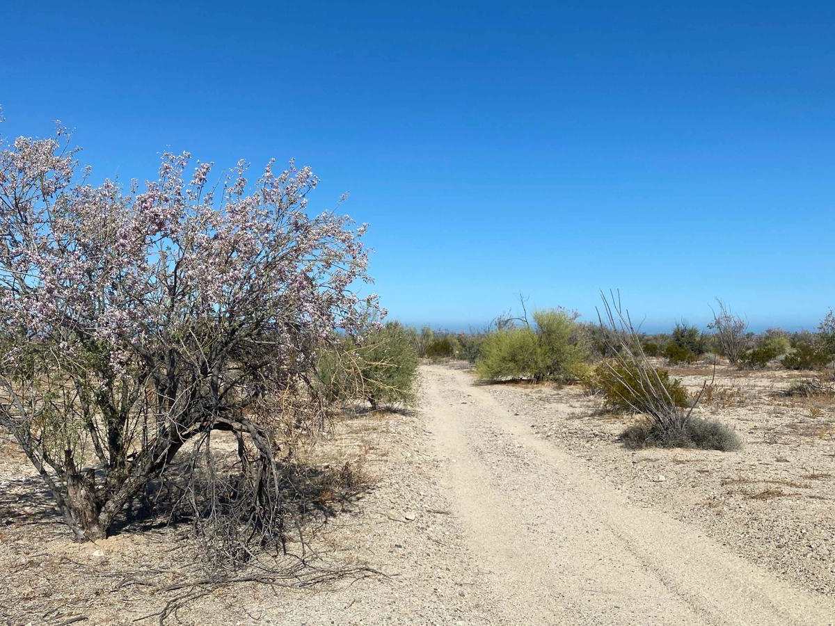
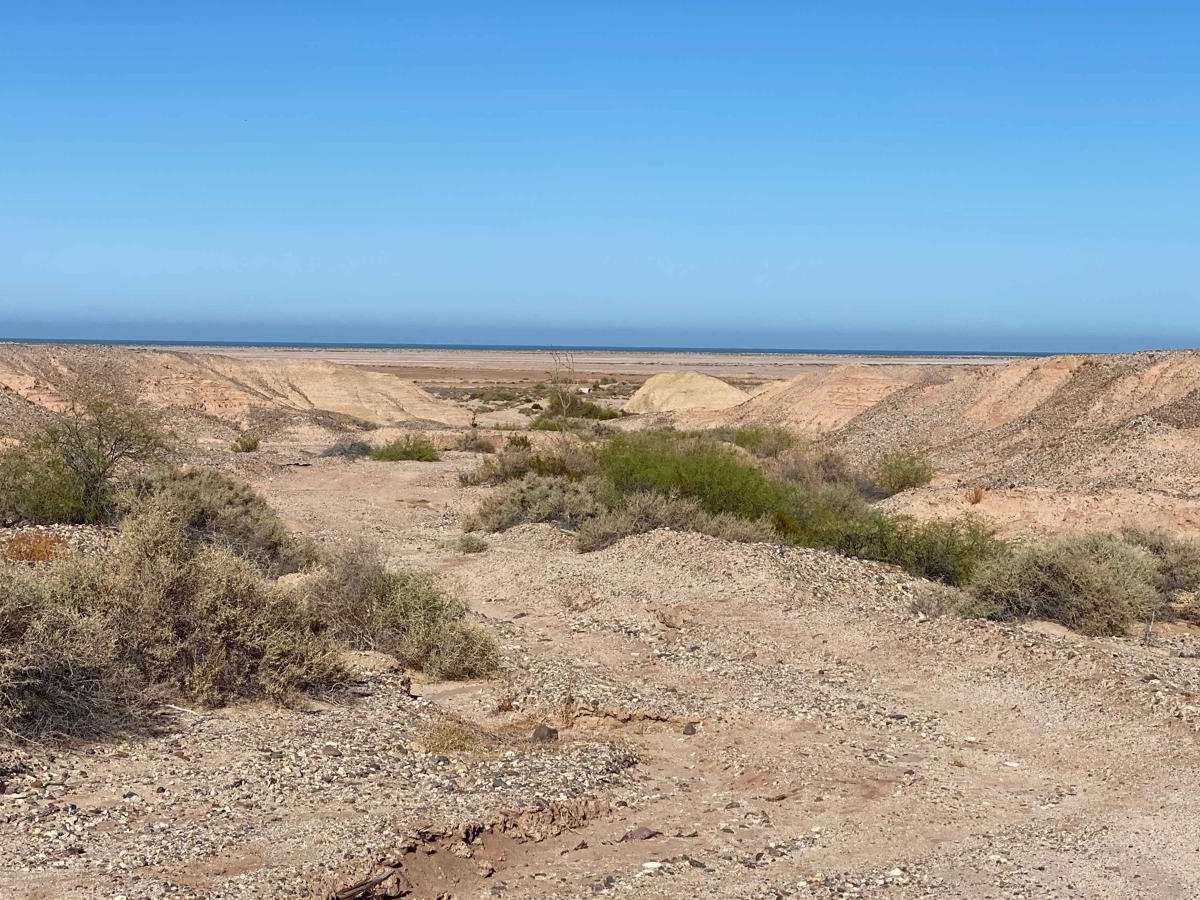
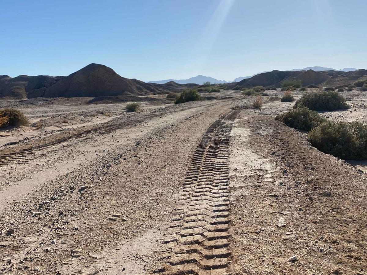
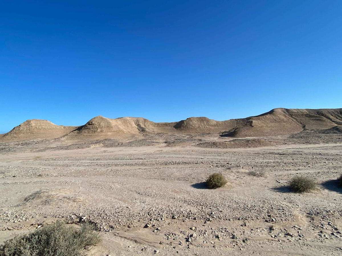
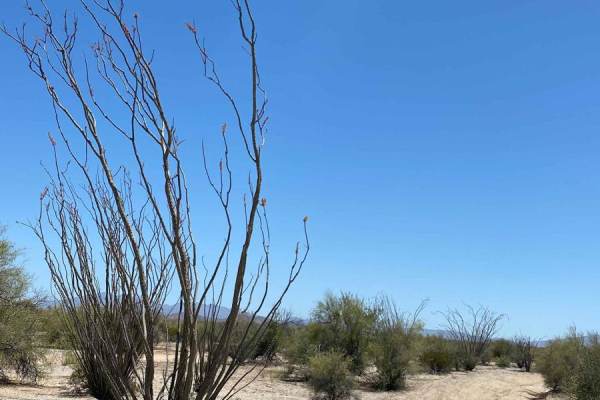
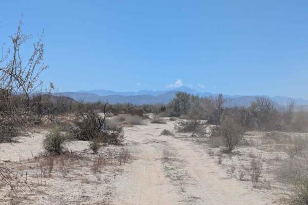
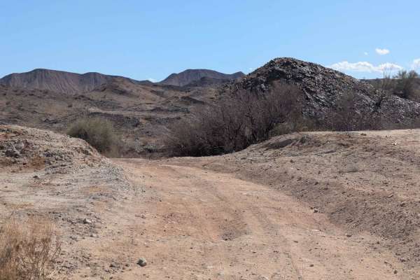
This is a brief and straightforward off-road trail originating from Mexico 5 and looping back to the same highway. Upon entering from the north, navigating around the abandoned structure may require some discretion, as vehicles often forge different paths around it. Exercise caution beyond the open gate, as discarded items near the highway pose potential hazards to tires. Once on the trail, it's a relatively smooth ride through desert terrain, offering glimpses of roadrunners, rabbits, and other native fauna and flora. Descending into a brief moonscape-like section, you'll be treated to vistas of the Sea of Cortez beyond the estuary. Watch out for rain ruts in this area. The trail veers right before reaching the estuary, running parallel to its edge. Be mindful of potential mud and hidden depths if venturing into the estuary, as seemingly dry sections can be deceiving. A subsequent right turn leads you onto a straight track back to Highway 5.
Difficulty
This trail isn't particularly challenging, but it's crucial to be cautious around salt flats and estuaries in Mexico. After heavy storms, especially, exercise extreme care and avoid areas prone to washouts, as the edges can become soft near rain ruts.