Trail Overview
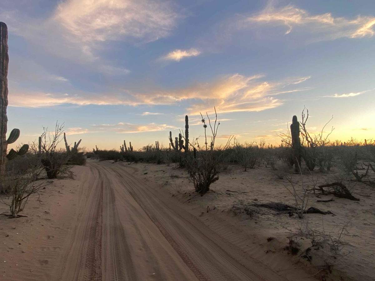
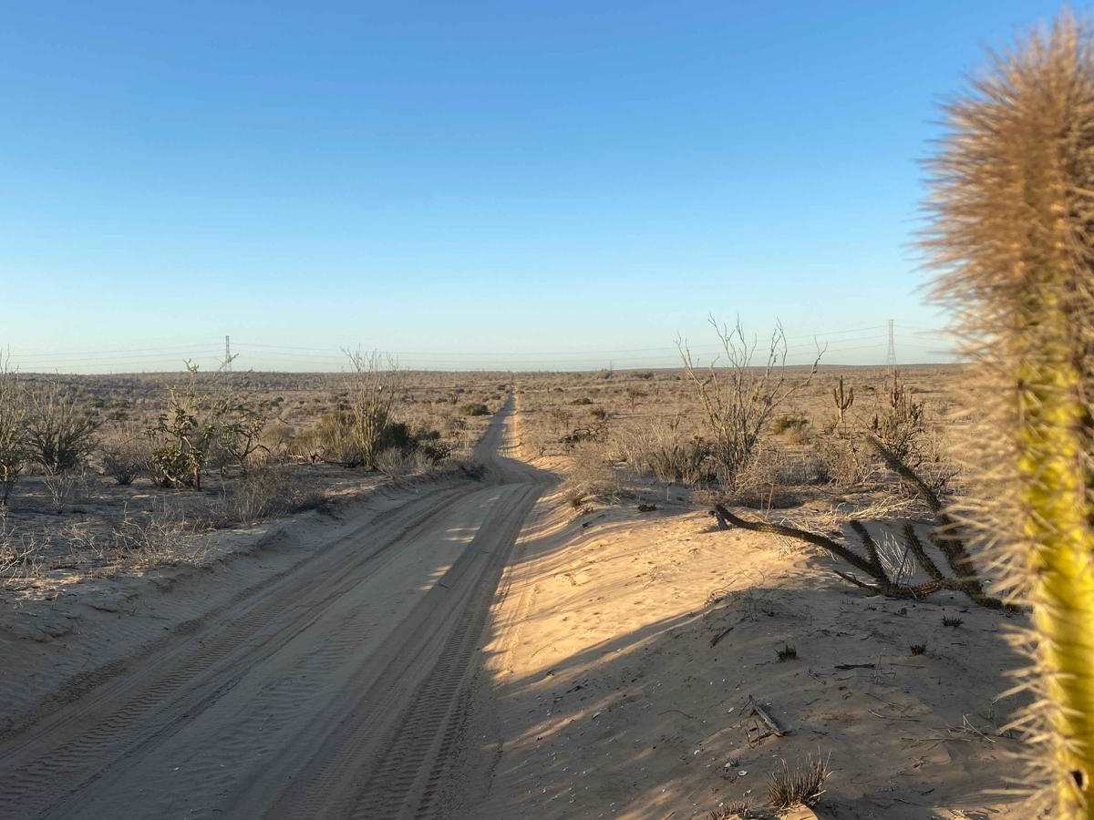
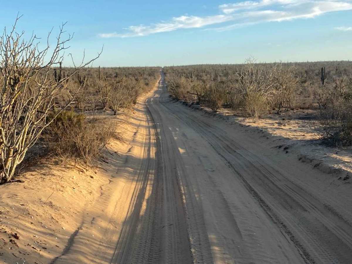
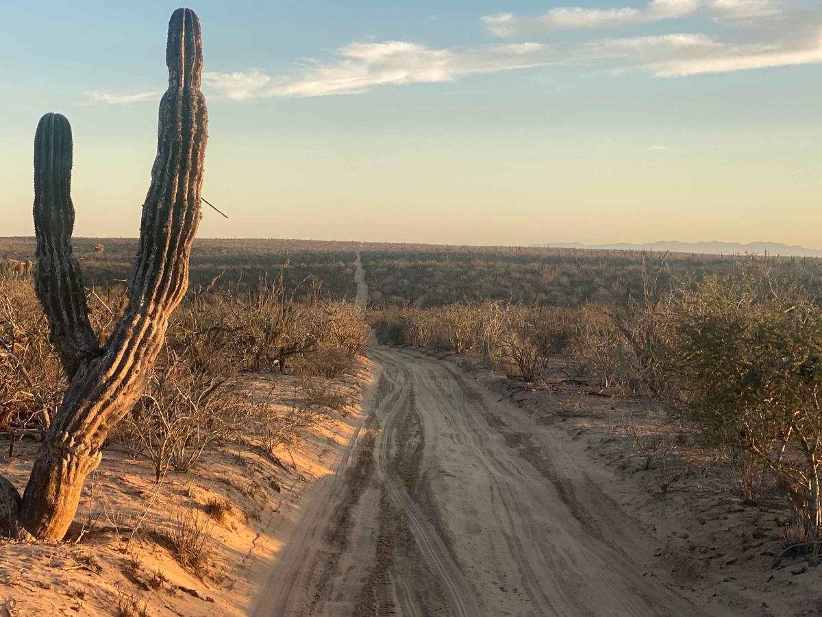
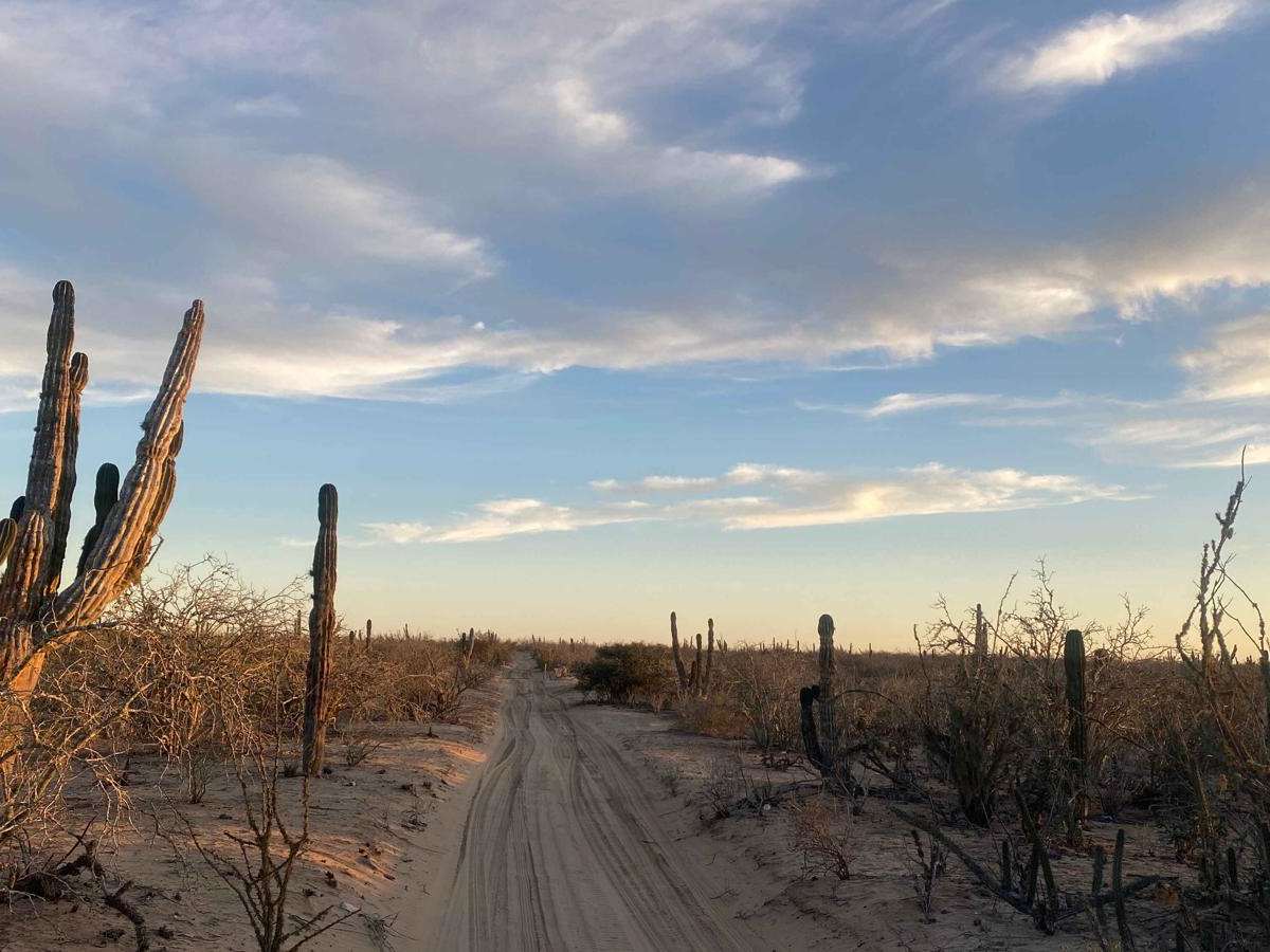
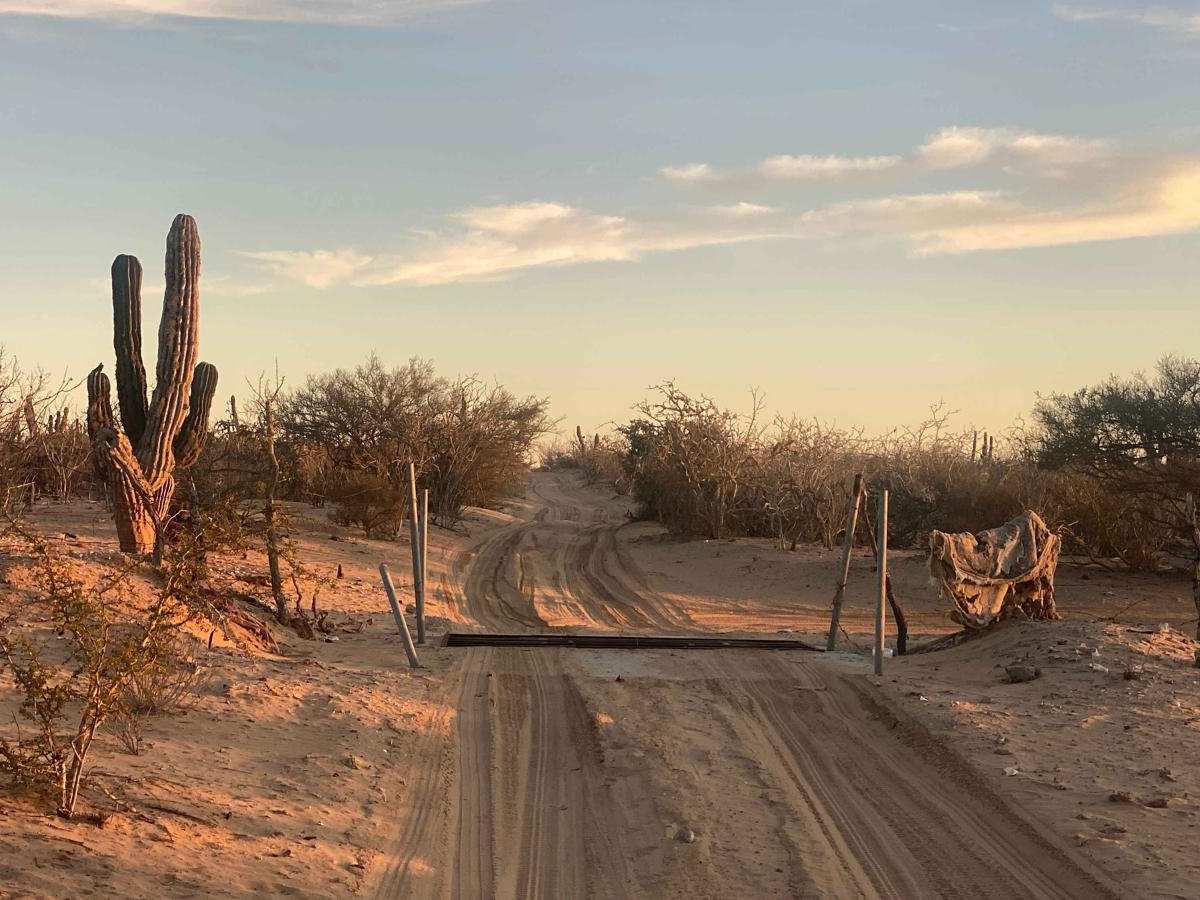
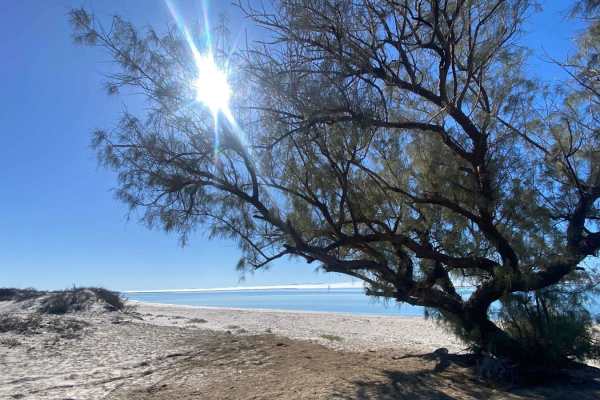
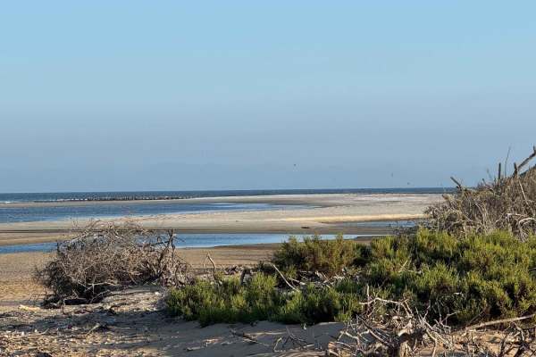
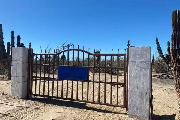
Located just off Highway 22, this route runs almost perfectly straight southeast, serving as a utility path that leads to a hub of options for reaching the mangroves and ocean. While the scenery along the way is dominated by dry, medium-height desert vegetation and may not be particularly striking, the landscape becomes more picturesque toward the end, with towering Cardon cacti creating a stunning backdrop--especially at sunset. The road is wide enough to avoid vehicle scratches and is easily navigable without 4WD. At the route's conclusion, you'll find multiple directions to continue your exploration or loop back.
Difficulty
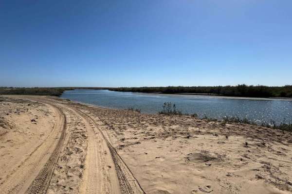
This trail is suitable for 2WD vehicles, as it serves primarily as a utility road providing access to other routes leading to mangroves and tidal areas. However, caution is essential when navigating these regions. What may appear to be a stable, permanent road can quickly transform into a flooded area due to shifting tides. Whether you're in 2WD or 4WD, always stay alert and assess conditions carefully to avoid unexpected challenges.