Trail Overview
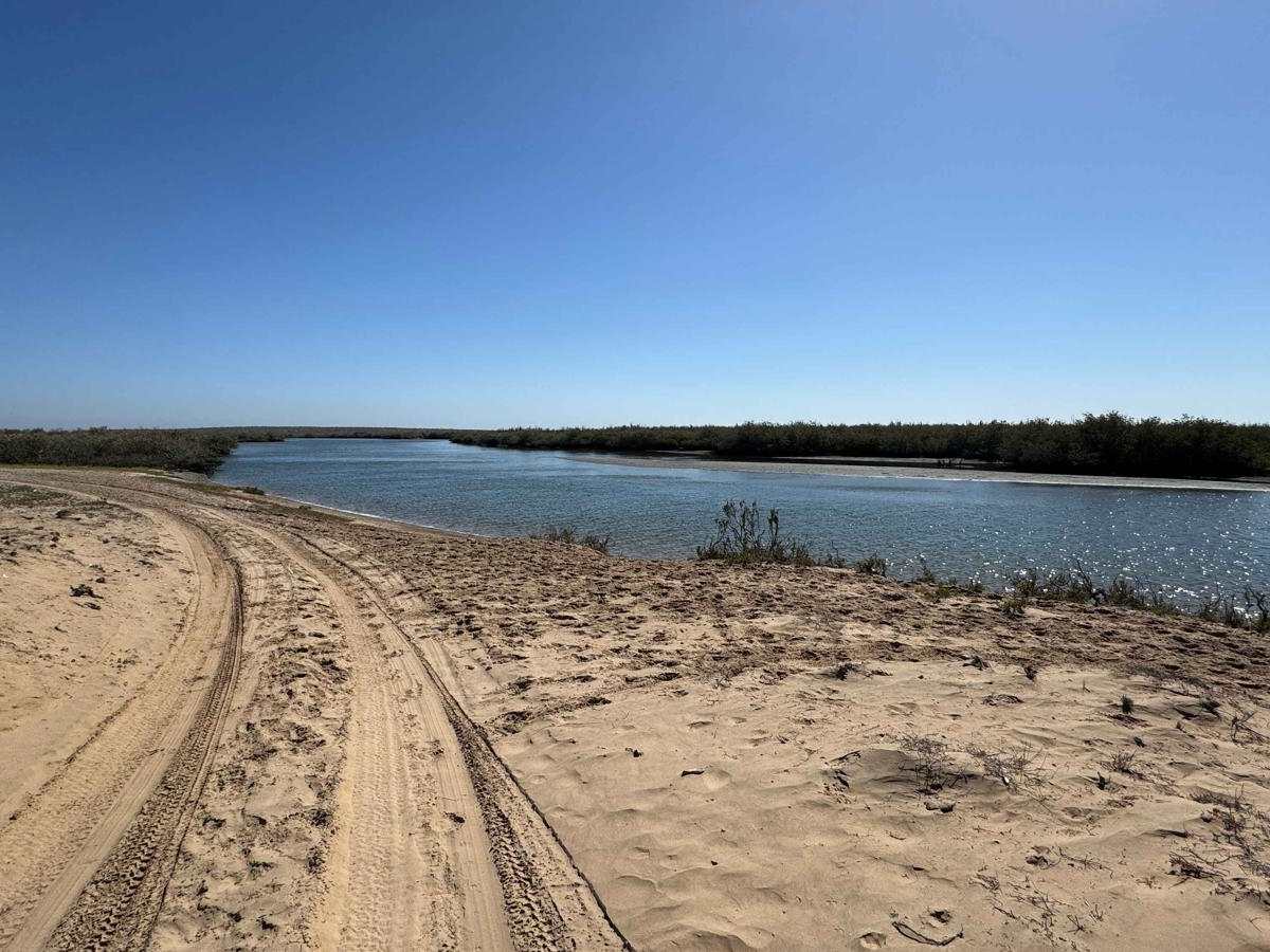
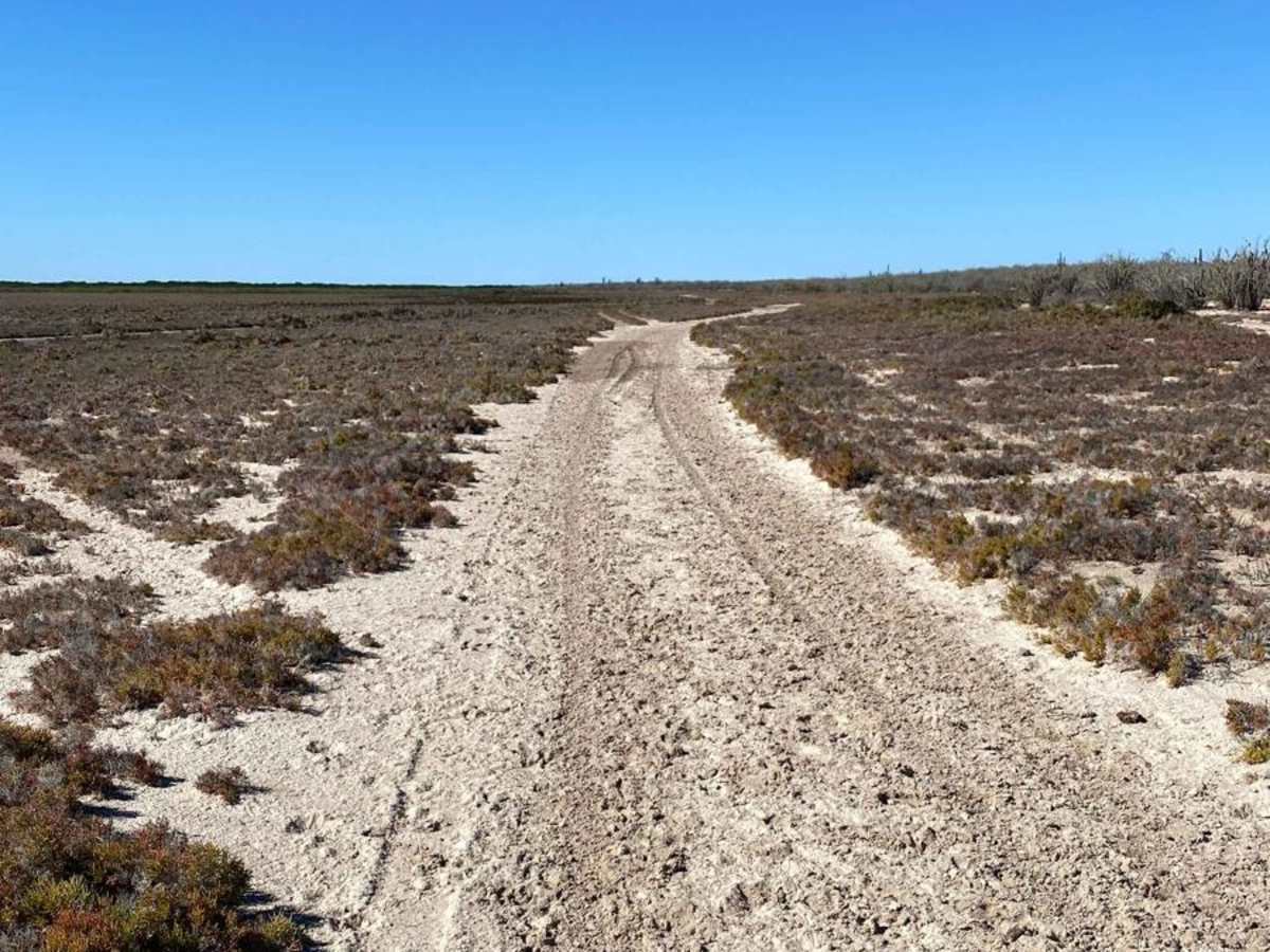
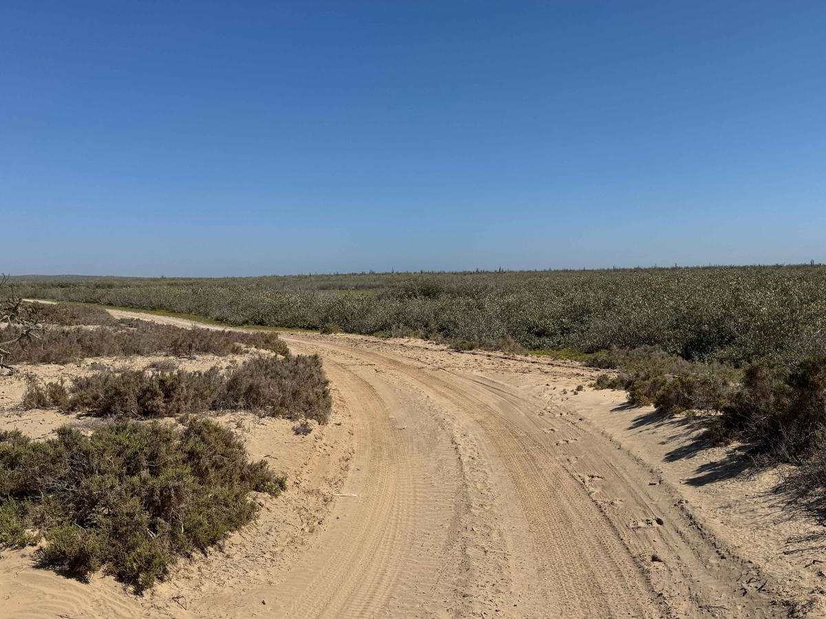
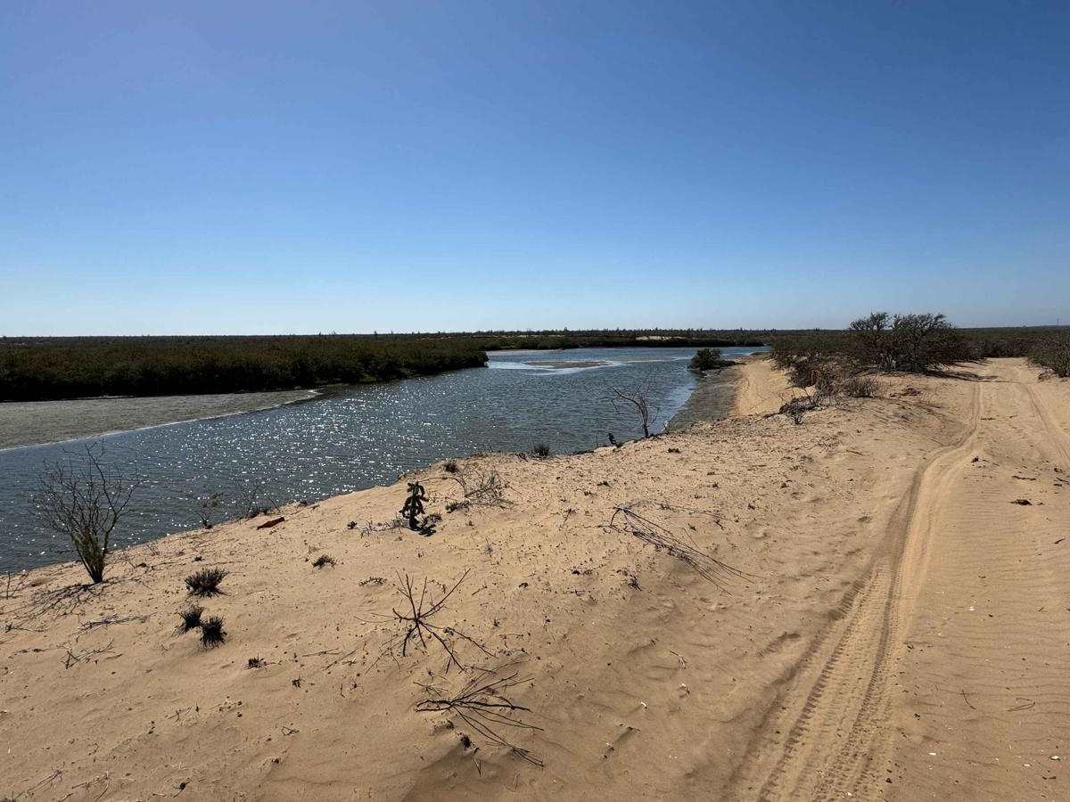
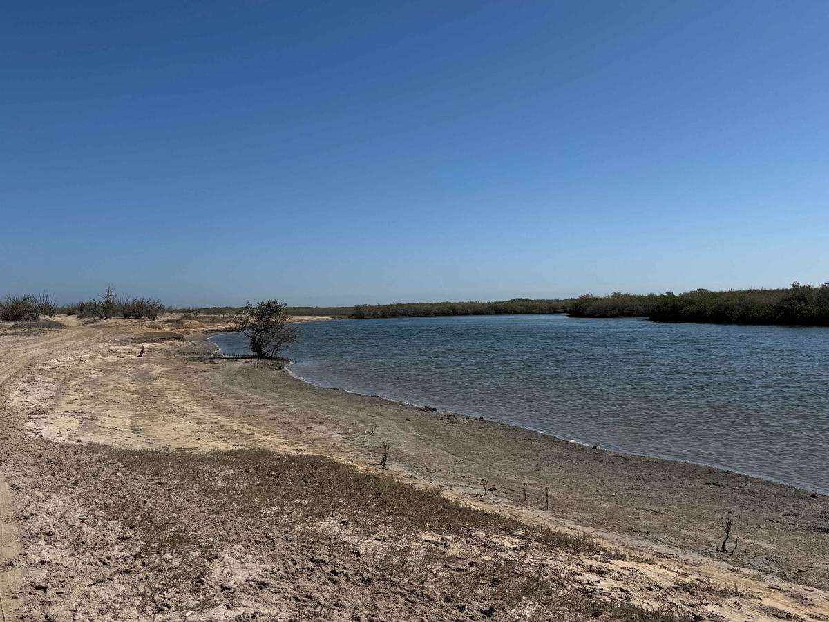
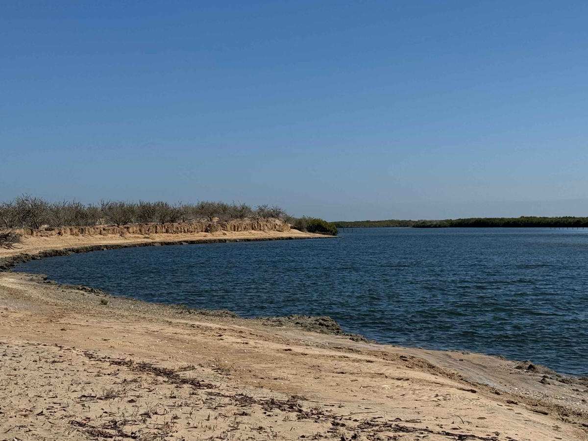
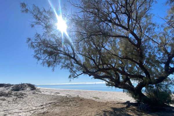
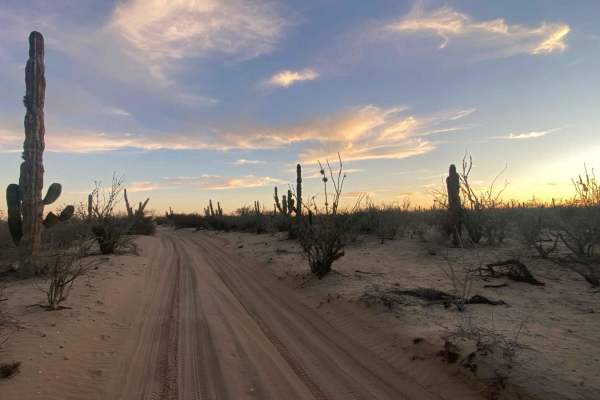
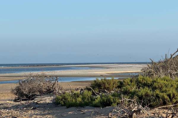
Beginning at the southern edge of a vast salt flat, this off-road route quickly immerses you in Baja's raw coastal beauty as it transitions into a scenic inland waterway. Early on, you'll encounter a shallow water crossing--about a foot deep during mid-tide--which can deepen significantly at high tide. Several low-lying sections along the way are prone to flooding, so if there are no visible tire tracks, proceed cautiously and consider walking any suspiciously wet areas first. The trail passes the only visible dwelling before skirting a fence toward the shore, where a steep sand dune climb begins. During mapping, branches had been thoughtfully placed along the steepest section to aid traction, and this is one of the points where 4WD may be necessary, especially in wet conditions. Once atop the dune, the terrain becomes more forgiving, winding in graceful S-curves between desert and shoreline with plenty of opportunities for beachside camping. As the route veers inland, expect brief rough patches before rejoining soft, packed sand. Eventually, the trail makes a sharp left turn to connect with another onX route, offering a choice: continue along the opposite side of the waterway or return to Highway 22.
Difficulty
Early on, heading north from the southern end, you'll encounter a shallow water crossing--about six feet wide and roughly a foot deep during mapping. Tidal conditions can vary, so this may be deeper at times. Just beyond that, there's a climb up a sand dune that may require 4WD and aired-down tires. During mapping, someone had placed sticks along the track to improve traction, which made the climb noticeably easier. After this section, the only likely need for 4WD would be in the low-lying areas that can retain standing water during extremely high tides. Use caution in these zones--if you don't see fresh tracks, it's smart to walk the area first, as salt flats can become deceptively soft and sticky when saturated.