Trail Overview
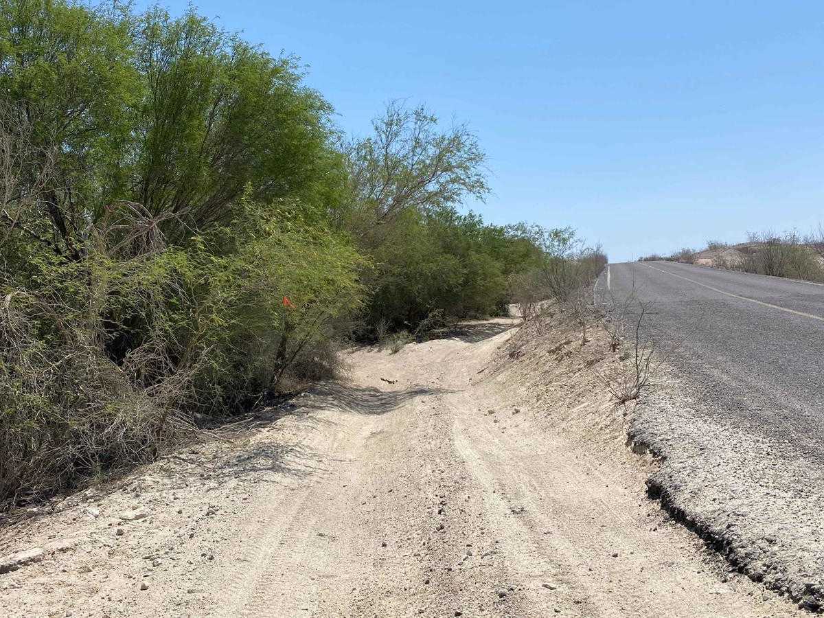
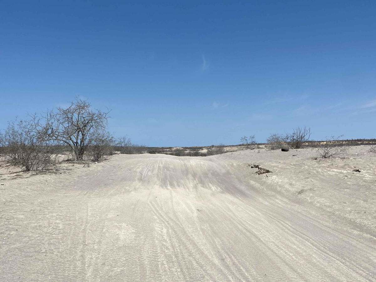
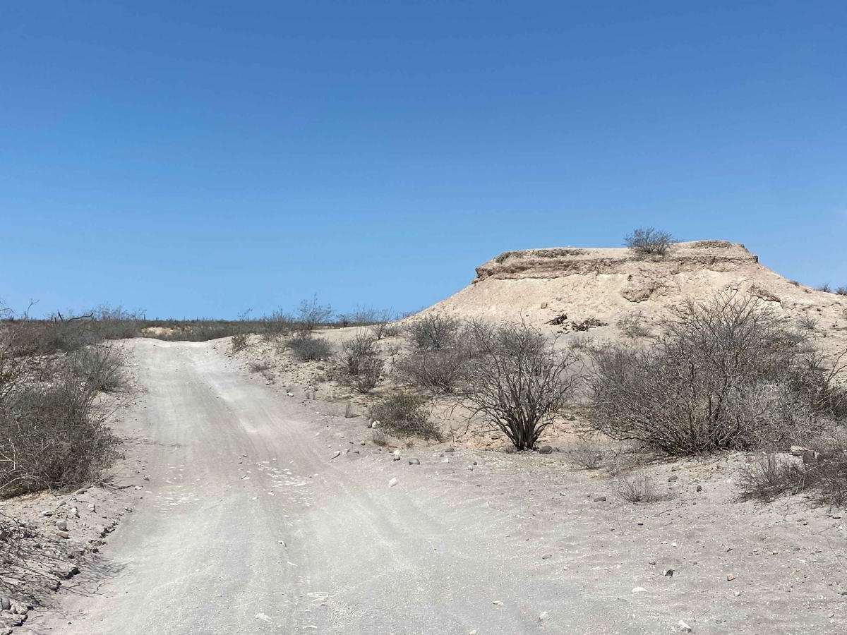
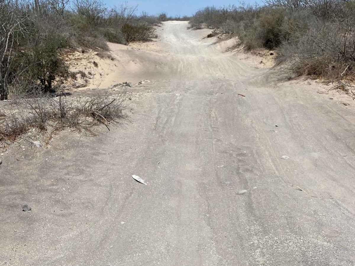
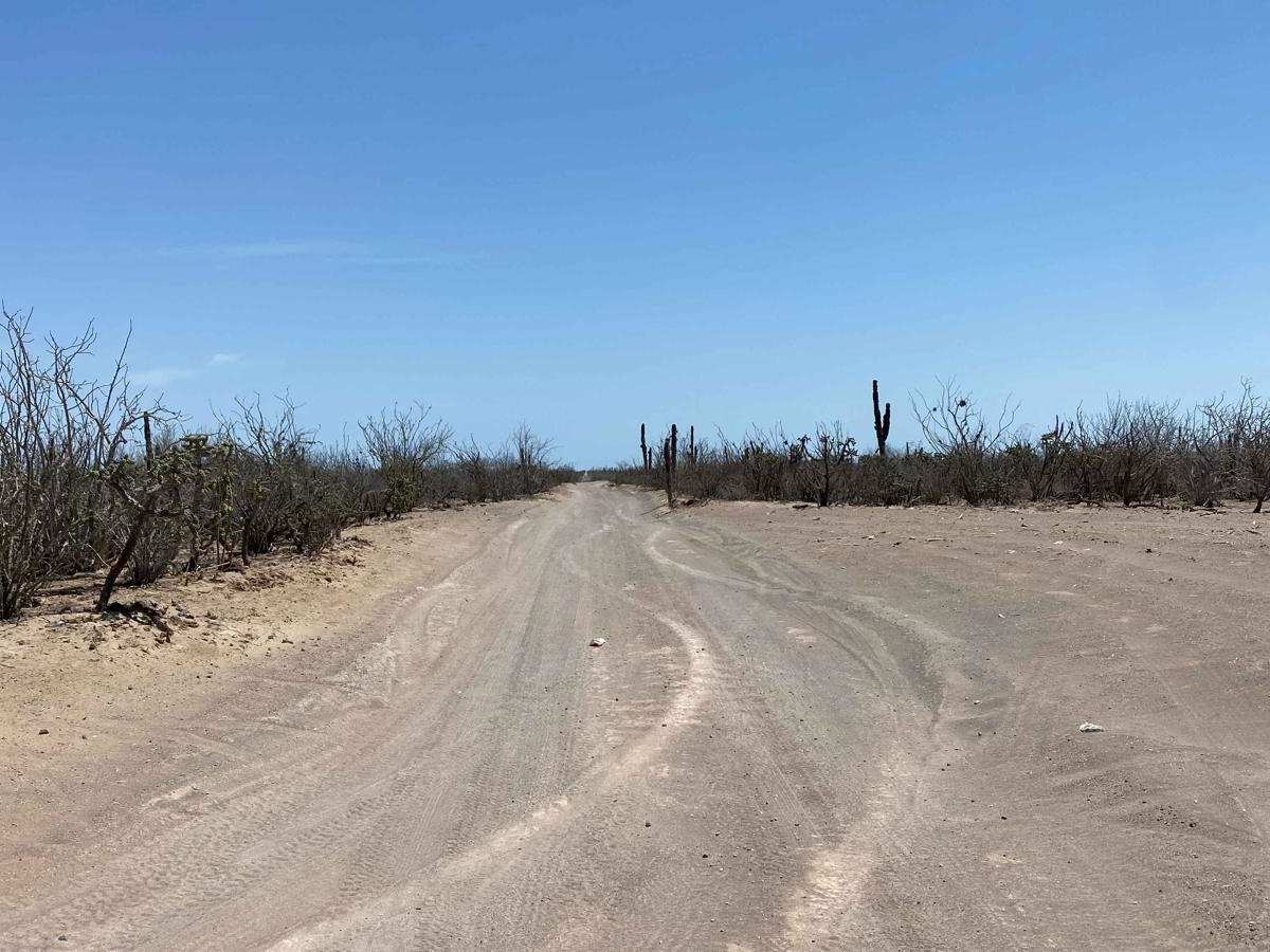
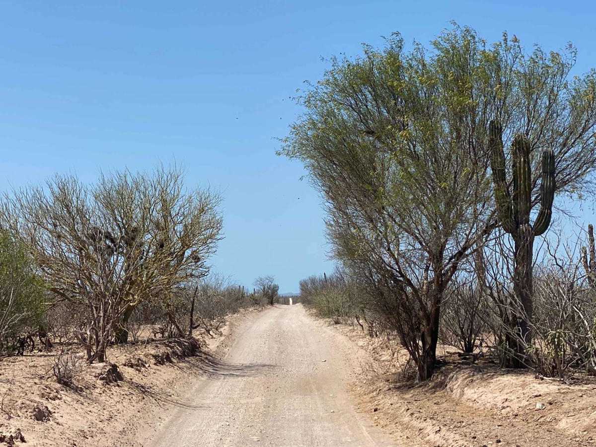
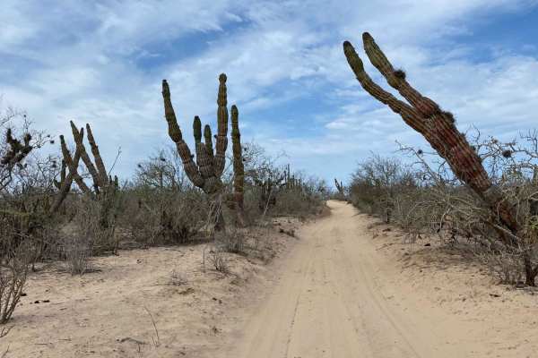
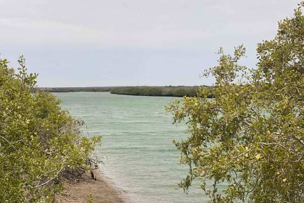
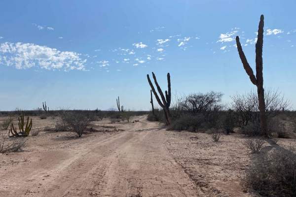
Approaching from the south off the paved highway to Puerto Chale, this trail immediately drops into a vibrant arroyo that remains surprisingly colorful, even in the dry season. The route's racing heritage is quickly apparent, with deep whoops and lingering traps scattered throughout the first section, demanding attention and solid ground clearance. While the sand isn't overly deep in most areas, the terrain is rugged and raw, shaped by countless off-road events. As you climb out of the green arroyo, the landscape shifts to the more familiar browns of the Baja desert. The raced-in conditions continue for about a mile and a half, weaving over small hills before settling into a straighter, faster stretch. Once you reach the intersection and hang a right, the final two miles transform into a wide, well-worn dirt highway where you can pick up the pace before reconnecting with pavement.
Difficulty
While the three-mile straight section of this route is easily manageable for any 2WD vehicle, the southern portion demands more attention. This stretch features a mix of deep whoops and soft sand, requiring careful wheel placement and a bit of driving finesse. Adequate ground clearance is a must, and 4WD could be helpful if you come to a stop in a particularly loose or uneven spot. That said, in dry conditions, the trail isn't overly technical--just a bit rough around the edges.