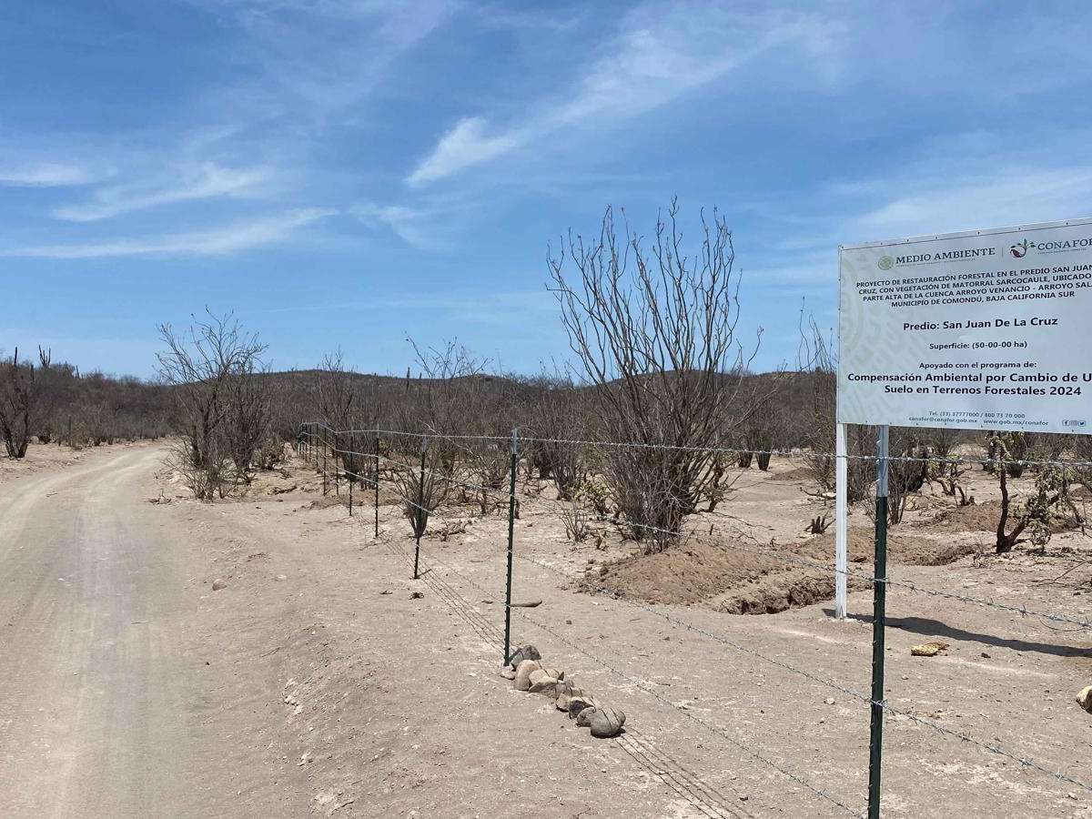
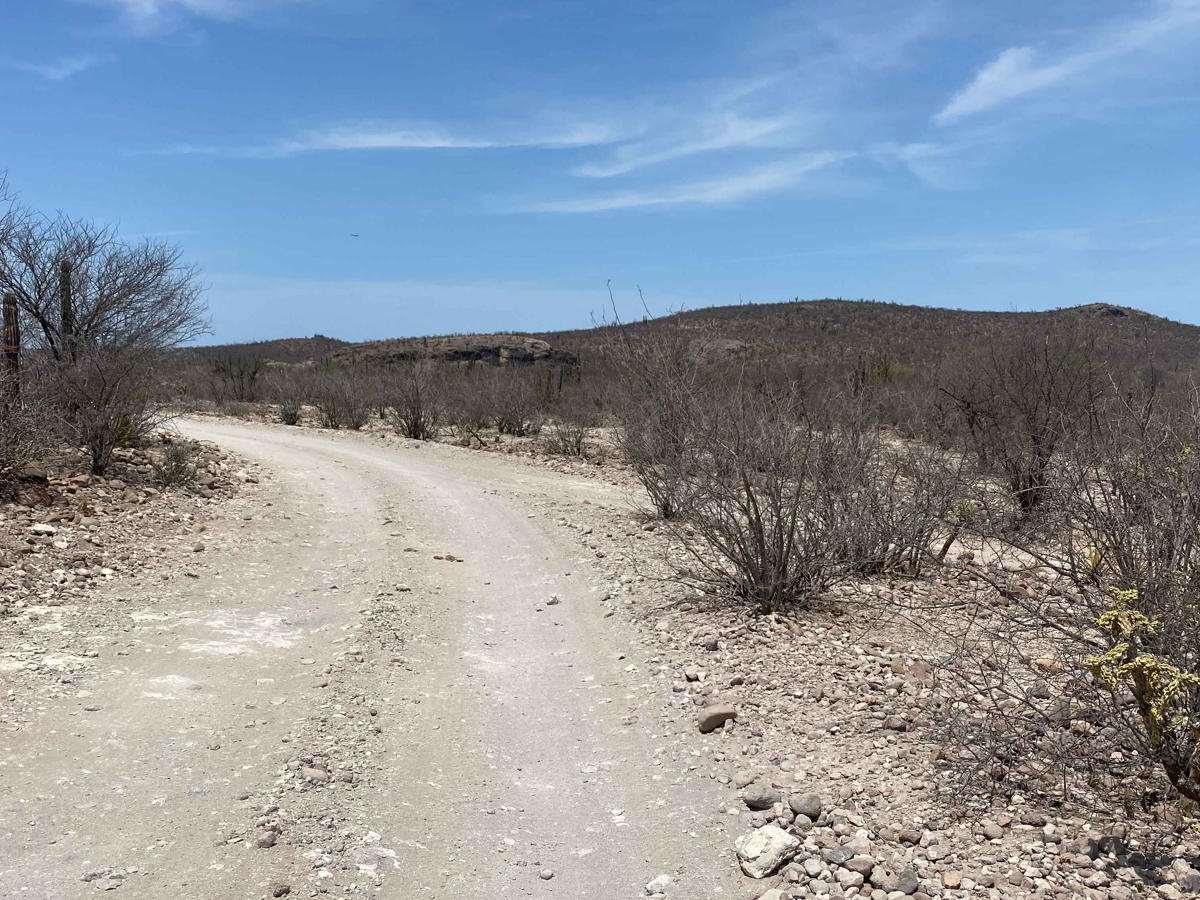
Trail Overview
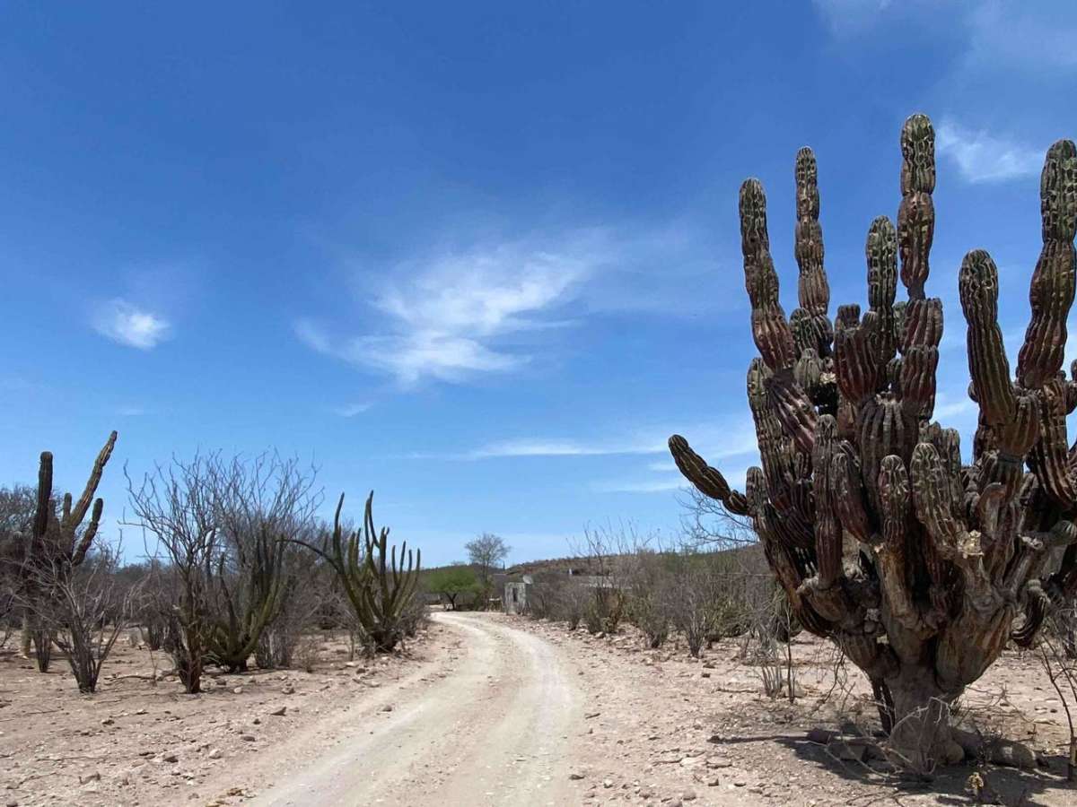
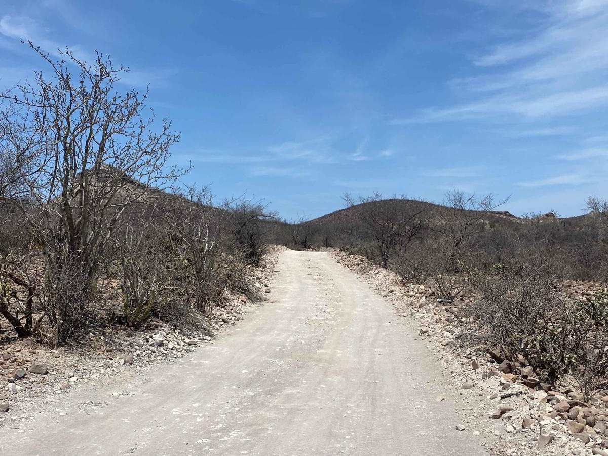
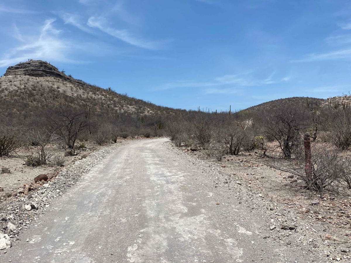
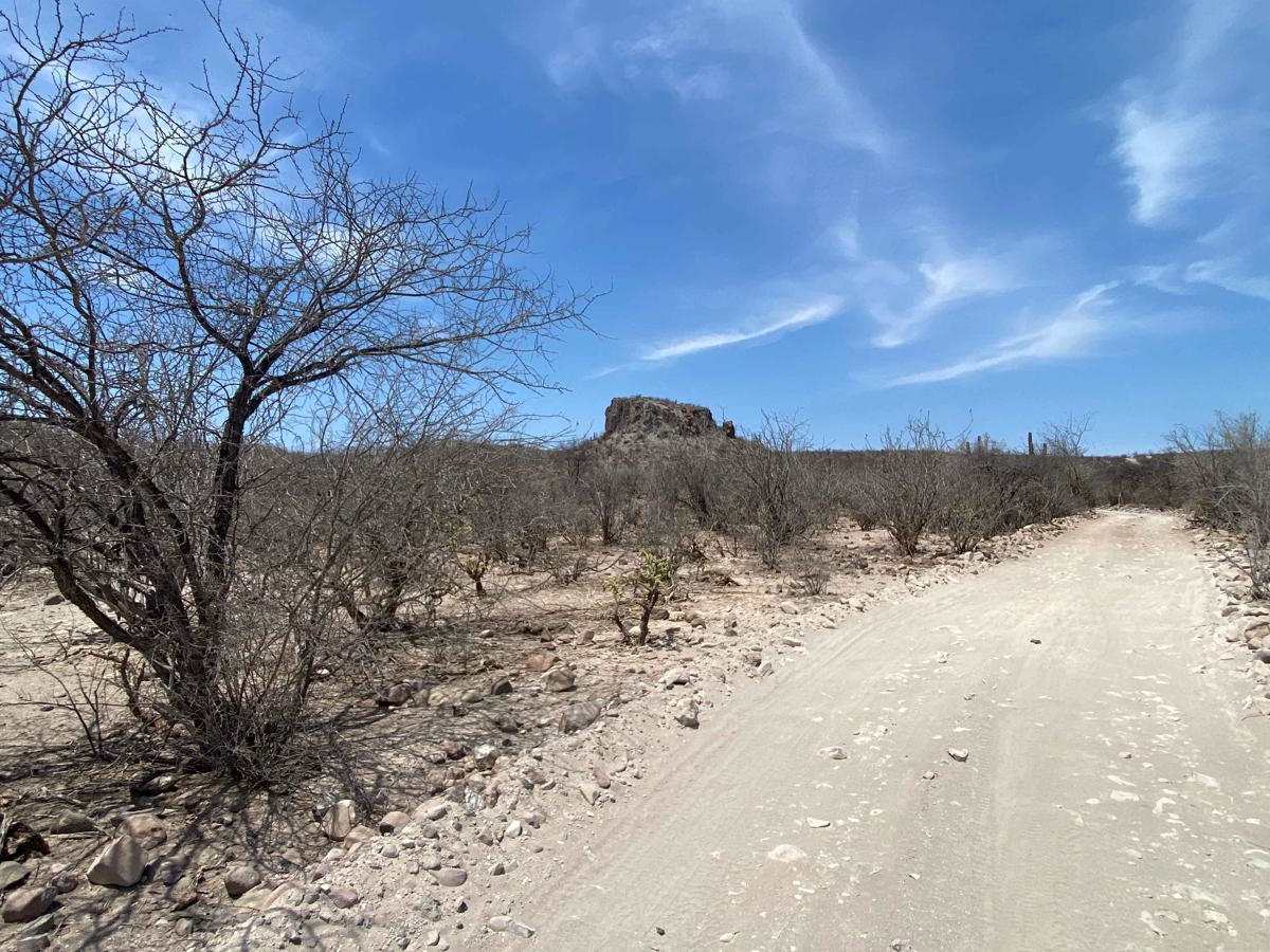
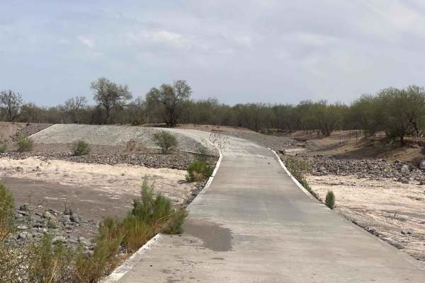
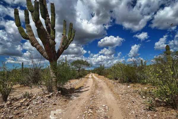
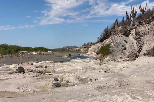
This scenic off-road trail begins in the small town of San Luis Gonzaga and forms a picturesque loop through several remote ranches and the quaint village of San Juan de la Cruz, eventually reconnecting with the San Luis Gonzaga Southeast Road. The route is non-technical and easily navigable by most 2WD vehicles with decent ground clearance. Along the way, travelers are treated to striking desert landscapes, including rare and massive El Cardon cacti with 20 to 40 arms sprouting from a single trunk--an extraordinary sight even in Baja. After weaving past rural homesteads, the trail crosses a wide arroyo, which was dry at the time of mapping but typically carries seasonal water. Beyond San Juan de la Cruz, the terrain becomes more dynamic, with gentle climbs and descents through rugged, castle-like hills before opening into rolling desert brush. The loop finishes with a gradual return through mid-density vegetation, guiding you back to the main road.
Difficulty
In dry conditions, this is a non-technical trail that generally does not require 4WD. A 2WD vehicle with good ground clearance should have no trouble navigating the route. However, there is a water crossing, so it's important to be aware of recent weather. After heavy rains or storms, these crossings can become challenging, and 4WD may be necessary.