Trail Overview
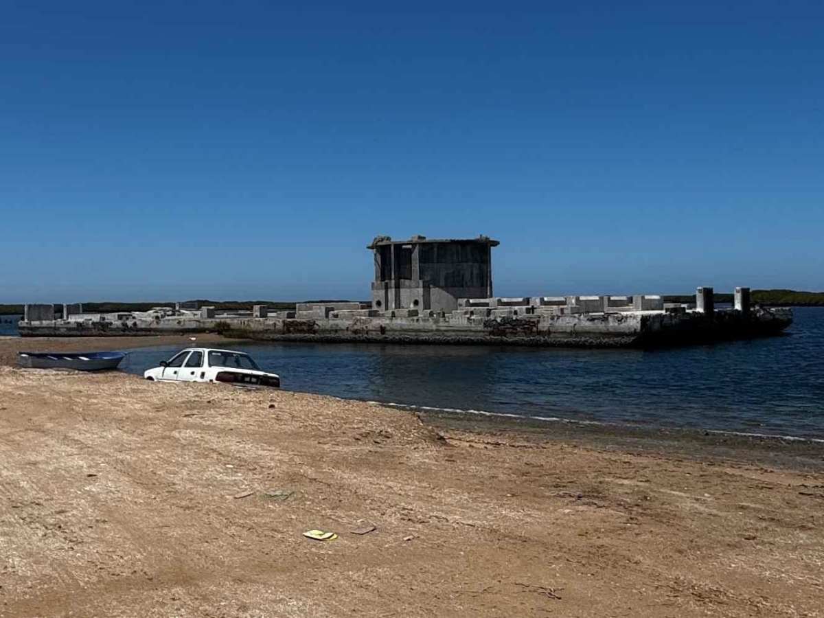
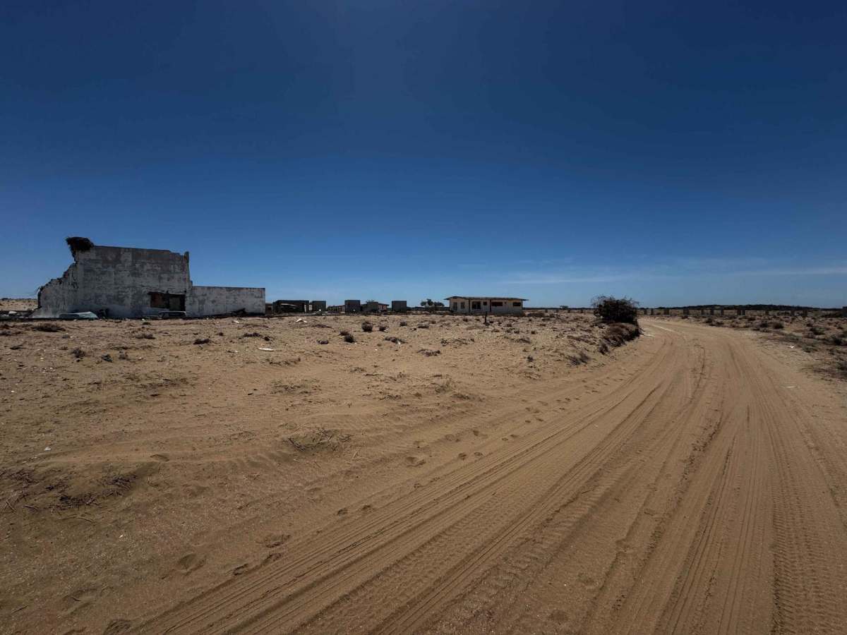
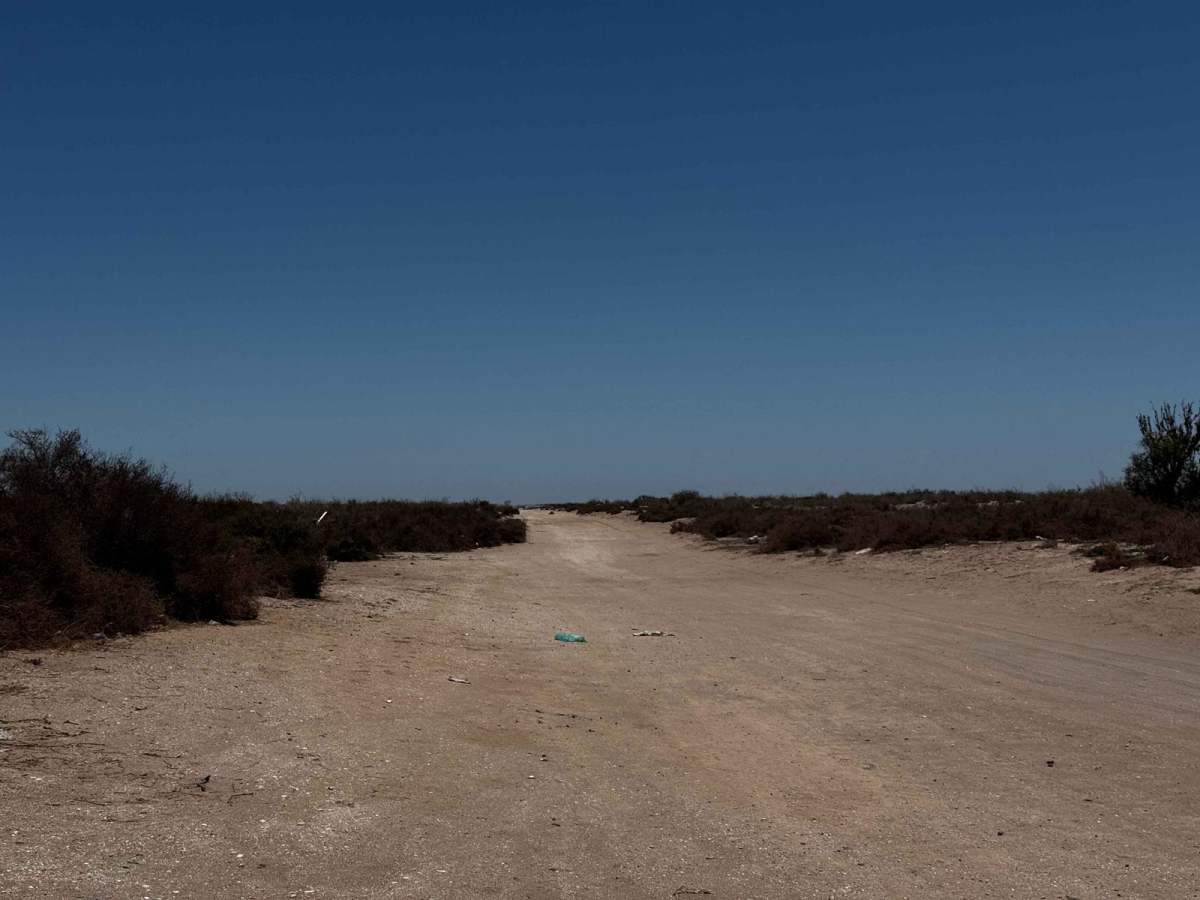
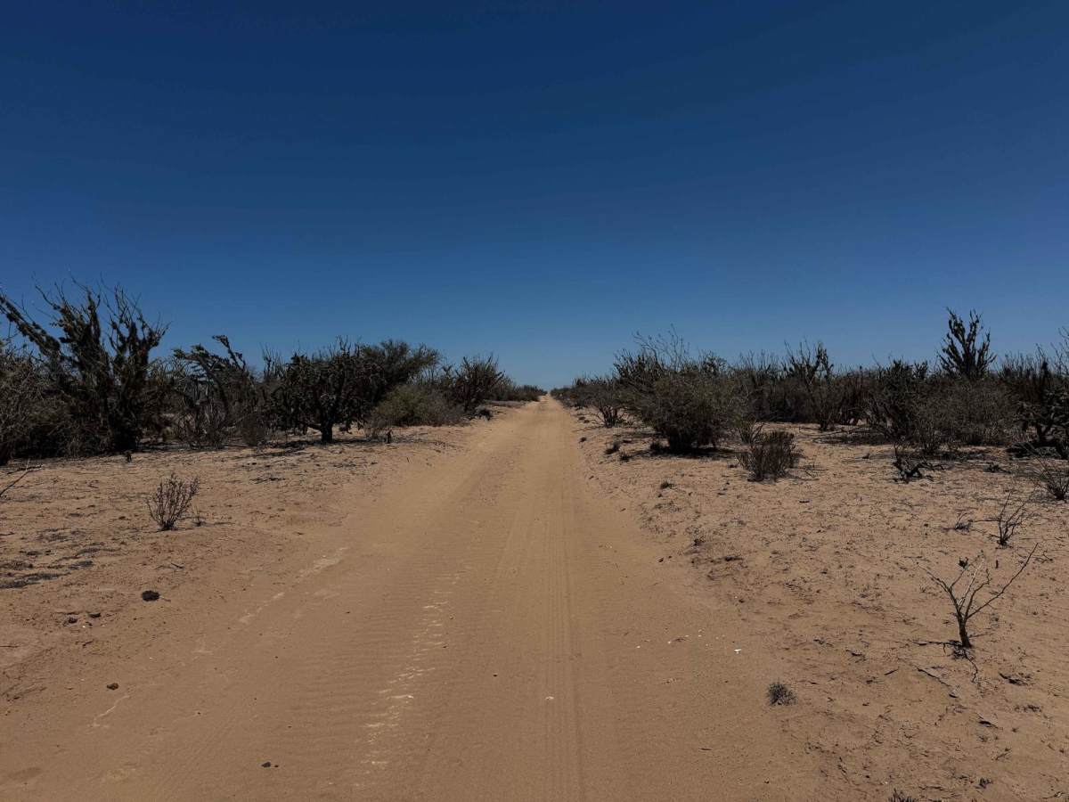
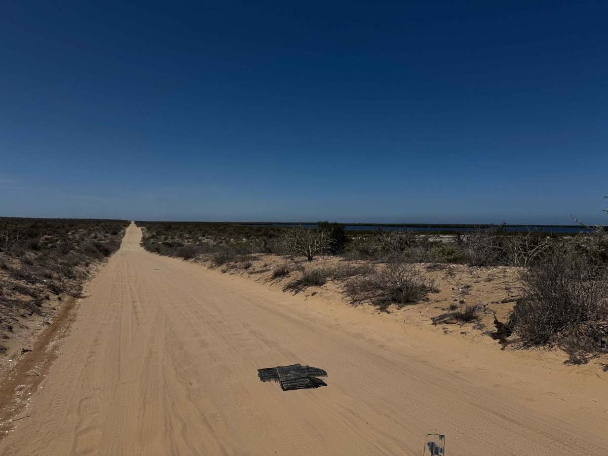
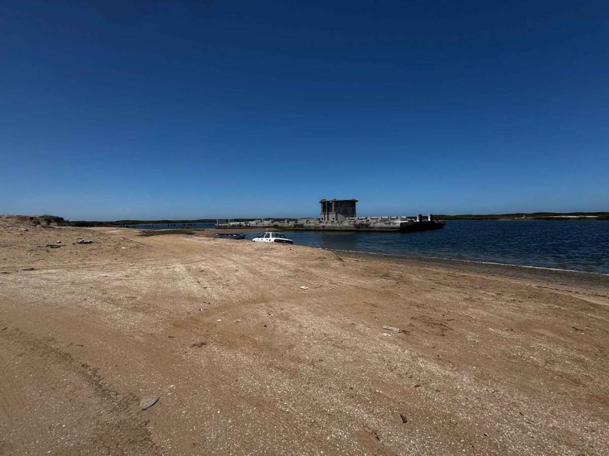
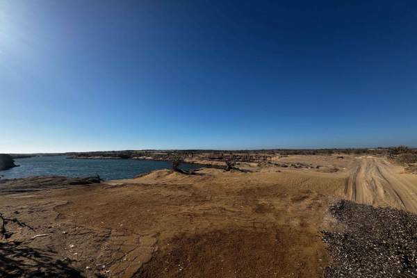
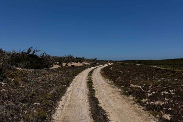
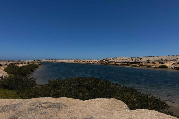
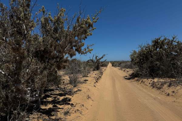
This off-road route begins near the town of Puerto Adolfo Lopez Mateos, connecting directly with the main highway. Like many roads between small towns and fishing camps, the initial stretch is littered with roadside trash, but the landscape quickly opens up and becomes cleaner as you progress. The road is consistently corrugated, requiring drivers to shift between tracks in search of smoother lines. However, there are occasional reprieves--particularly in low-lying salt flats that flood during high tides--where the hardened surface feels nearly as smooth as pavement. The entire route is wide enough for two vehicles and eventually leads to a coastal point marked by several large, weathered structures, including the remnants of a massive concrete export terminal once used by the Rofomex phosphate mine.
History
Rofomex (Roca Fosforica Mexicana) was a state-run phosphate mining and processing operation in Baja California Sur, Mexico. The large concrete structure you see in the water near Puerto Adolfo Lopez Mateos--about five miles from town--was part of the export terminal used to load phosphate rock onto ships for transport. Phosphate, used primarily in agricultural fertilizers, was extracted inland and transported to this coastal facility. From there, it was loaded onto barges or ships via conveyors or docking platforms extending into the water. Though no longer in operation, remnants of Rofomex's infrastructure--including concrete ruins and rusting machinery--still remain as industrial relics, offering a stark contrast to the surrounding natural beauty of the inland waterways and coastal desert.