Trail Overview
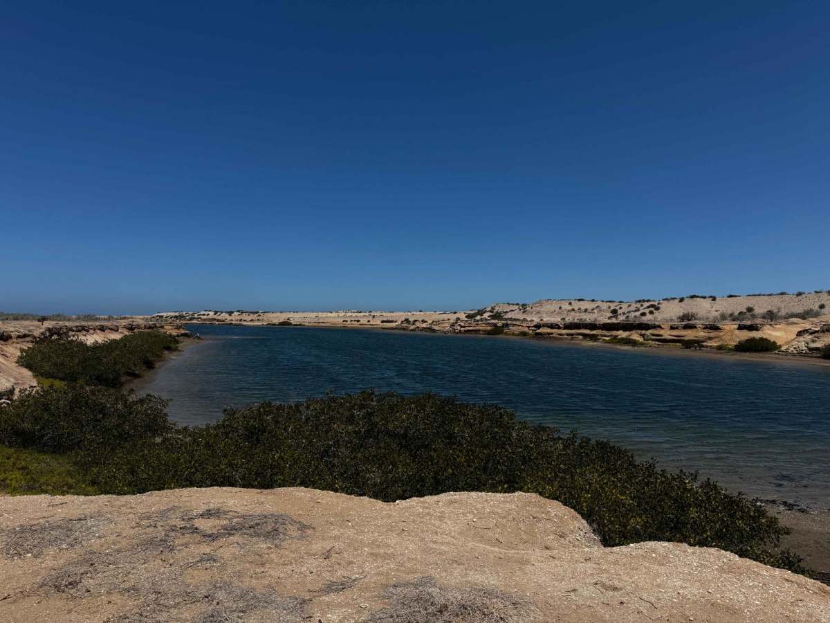
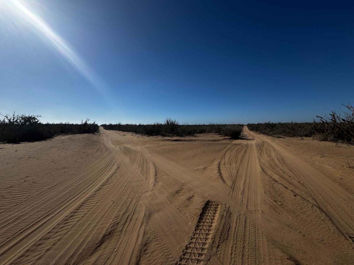
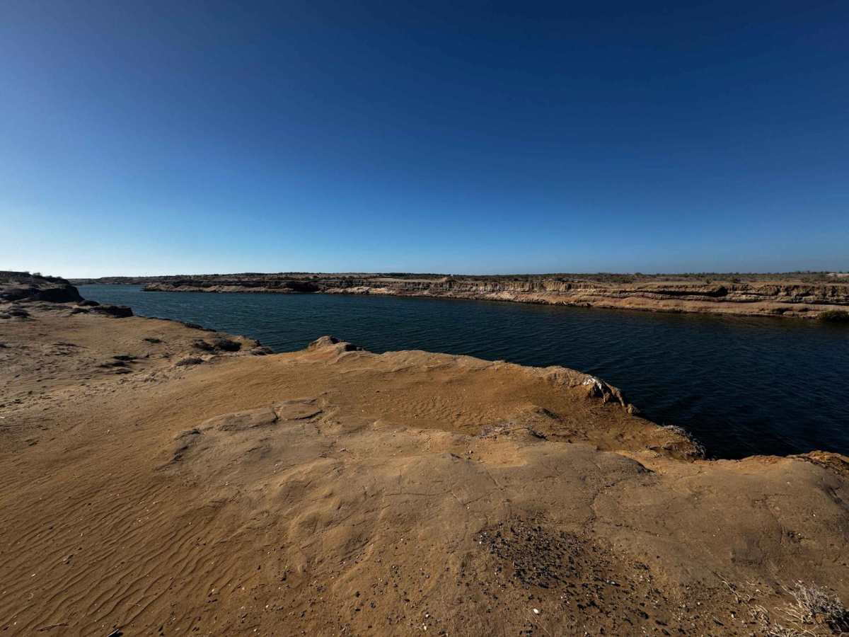
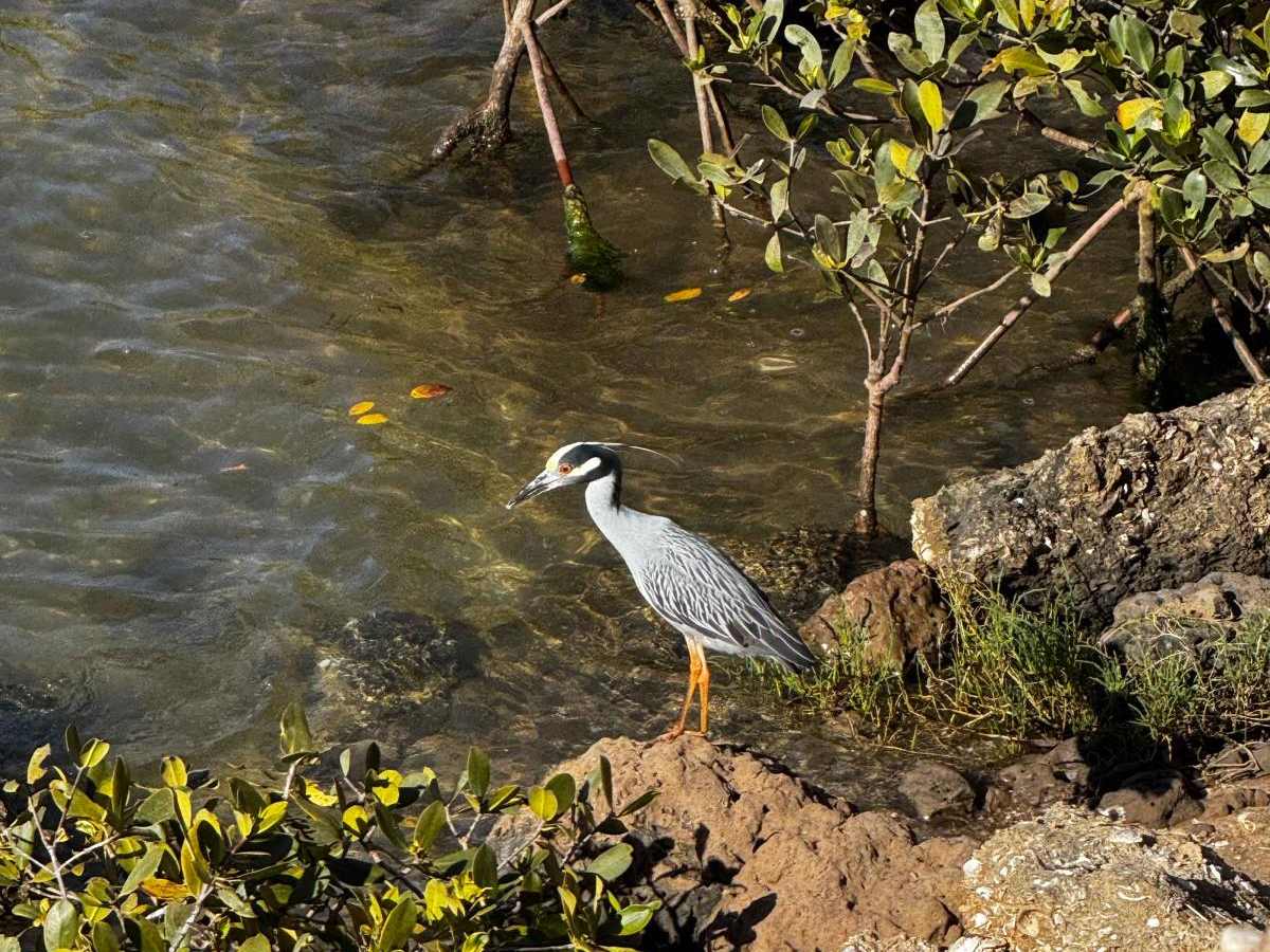
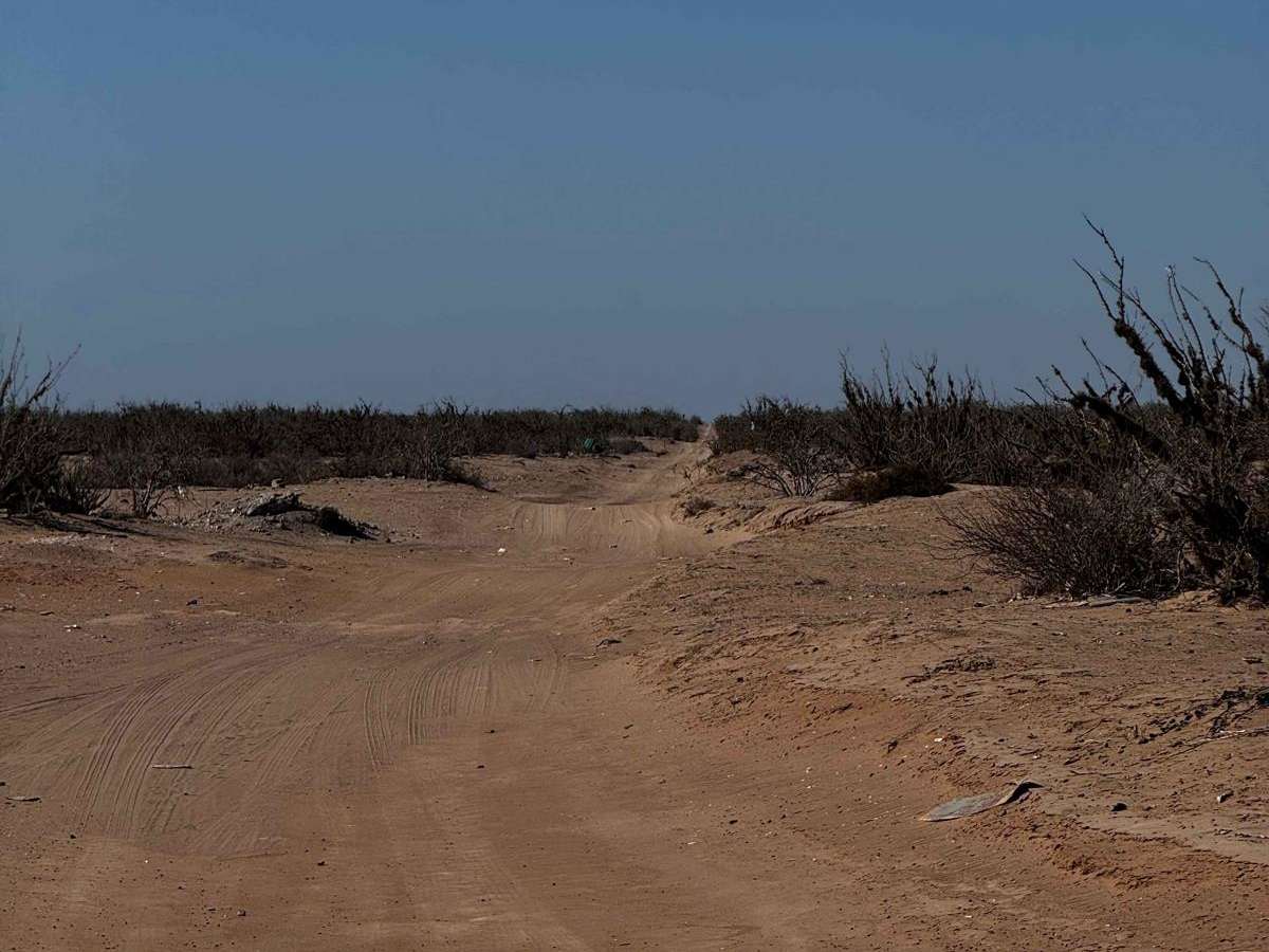
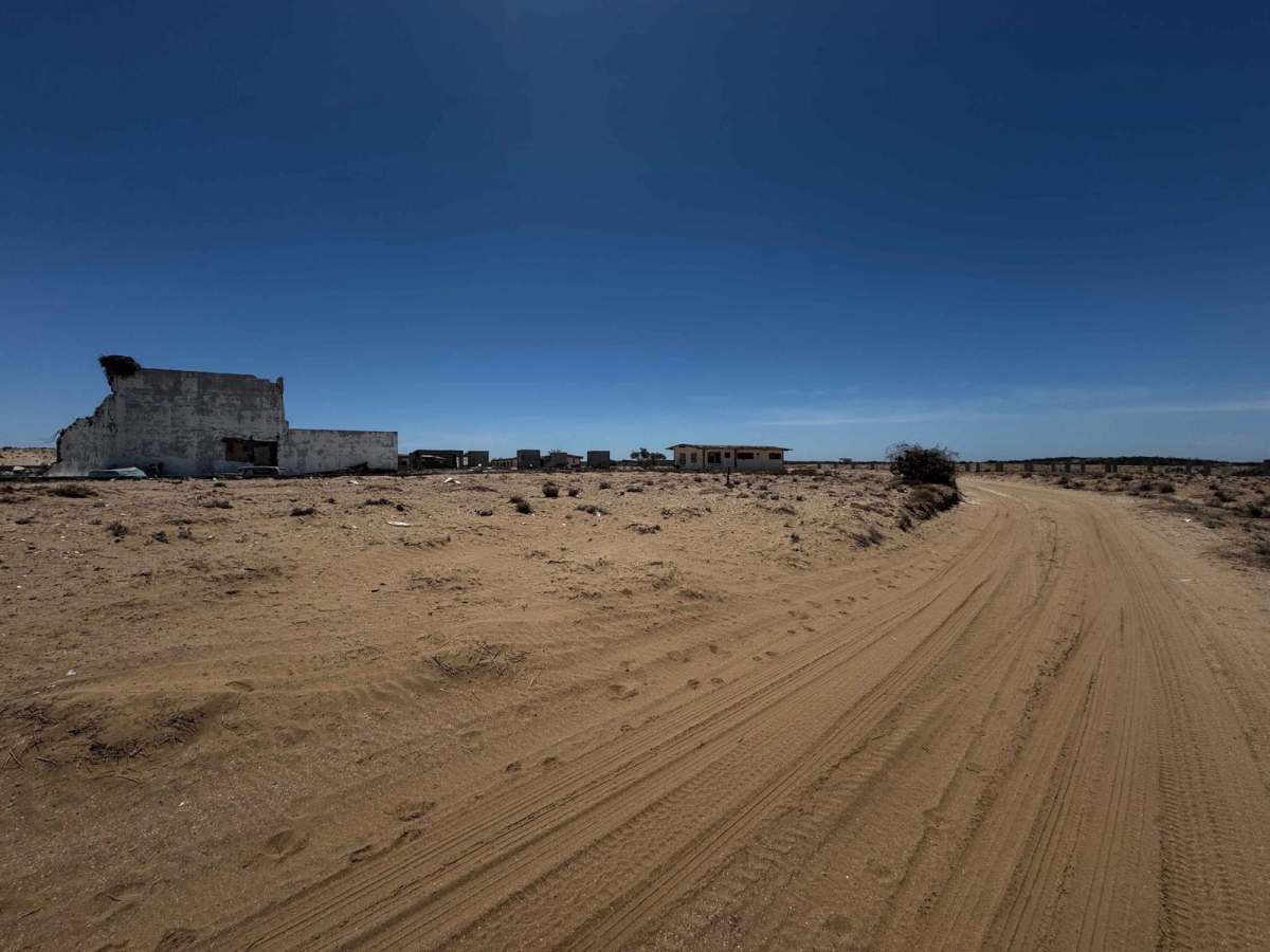
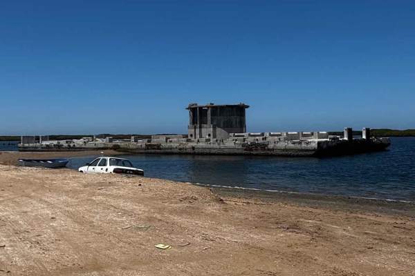
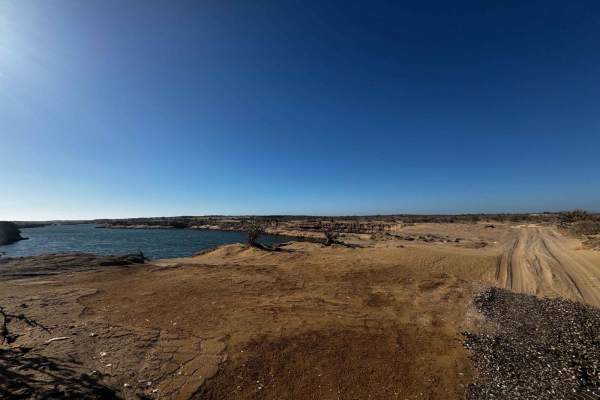
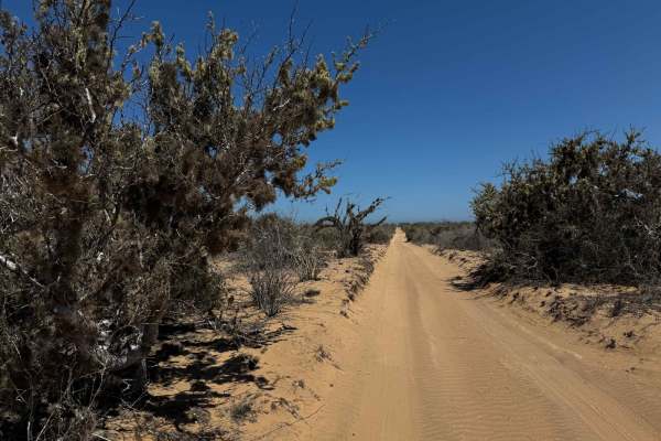
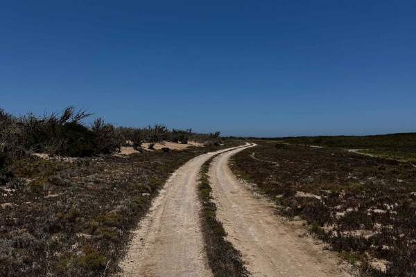
This off-road trail begins just off the highway to Puerto Adolfo Lopez Mateos, marked by a towering telephone pole that hosts a massive Caracara bird nest--one of many sightings of these striking raptors common in the region. The trail initially stretches out in a straight line for several miles, with a light layer of sand--about two inches deep--and flanked by low to mid-height desert vegetation. As the terrain shifts, you'll encounter a series of gradual climbs and descents over hills reaching up to 20 or 30 meters. Drivers without 4WD may need to lower tire pressure to navigate these sections safely. Descending from the tallest hill, you'll spot a canyon-like formation to the left--an inland waterway teeming with unique birdlife, including several species of large coastal birds. The trail veers left toward the water, then forks right, leading about half a mile to a scenic campsite that gives the trail its name. Here, a small beach meets the inland waterway, offering a serene spot to rest. Continuing on, the route passes several significant old structures before eventually connecting with Rofomex Road.
Difficulty
Although this trail is relatively easy and can be navigated in dry conditions with a 2WD vehicle and some sand-driving experience, it's rated as a Level 2 primarily because it is single-vehicle wide throughout, offering limited opportunities for passing or turning around.