Trail Overview
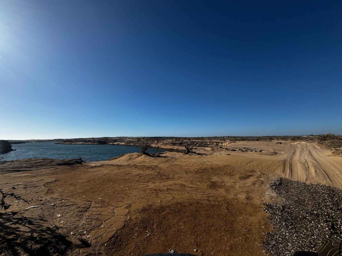
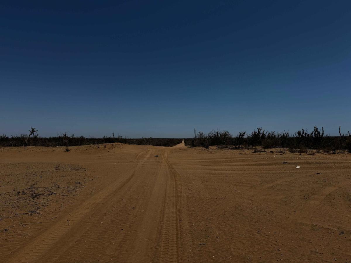
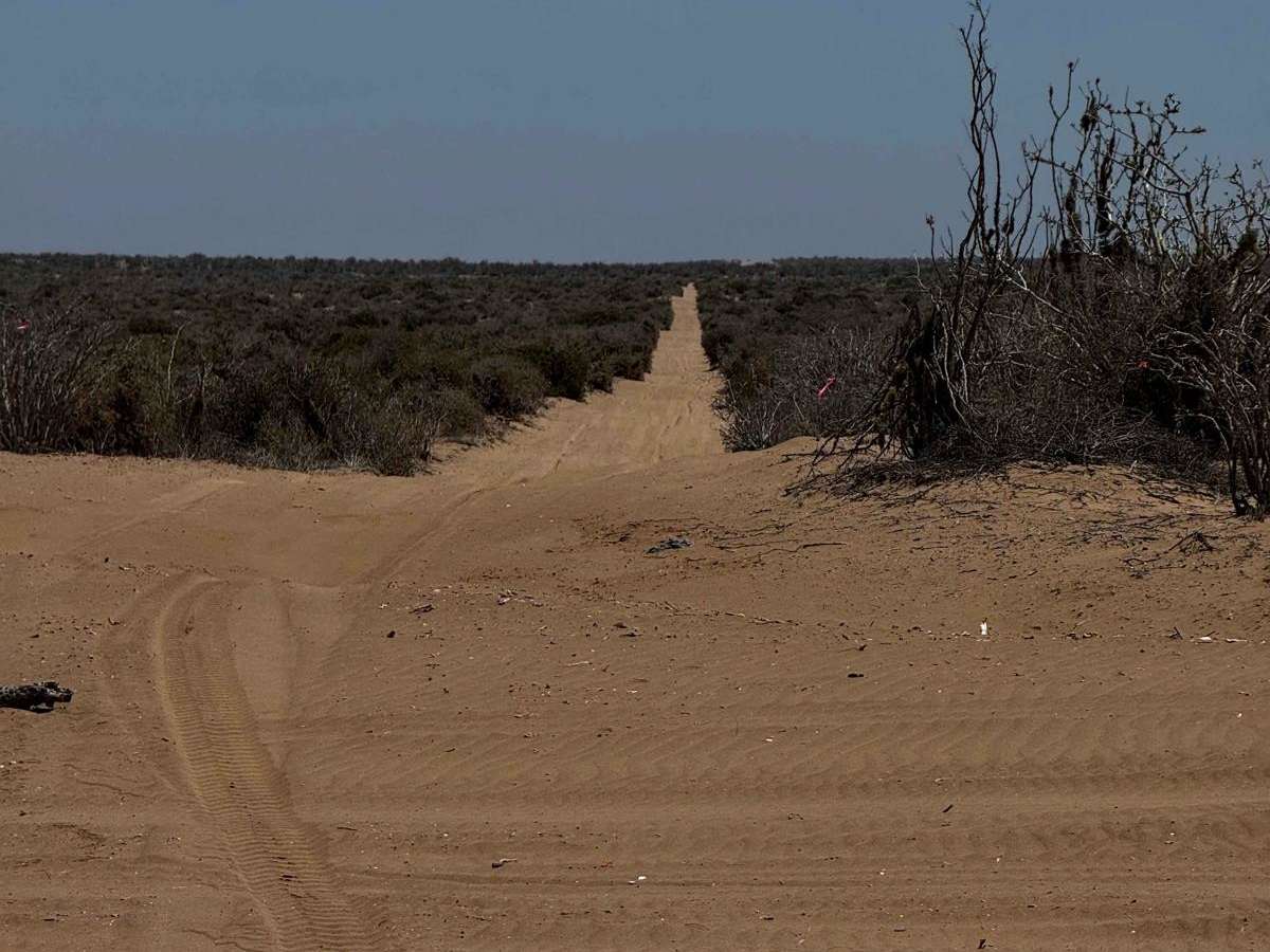
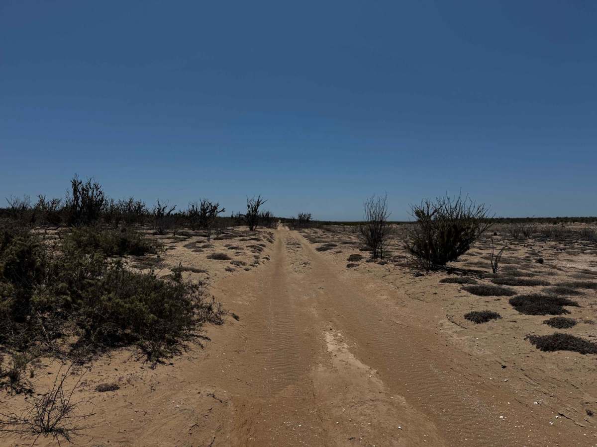
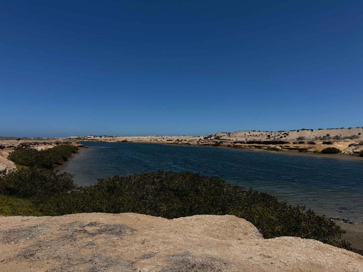
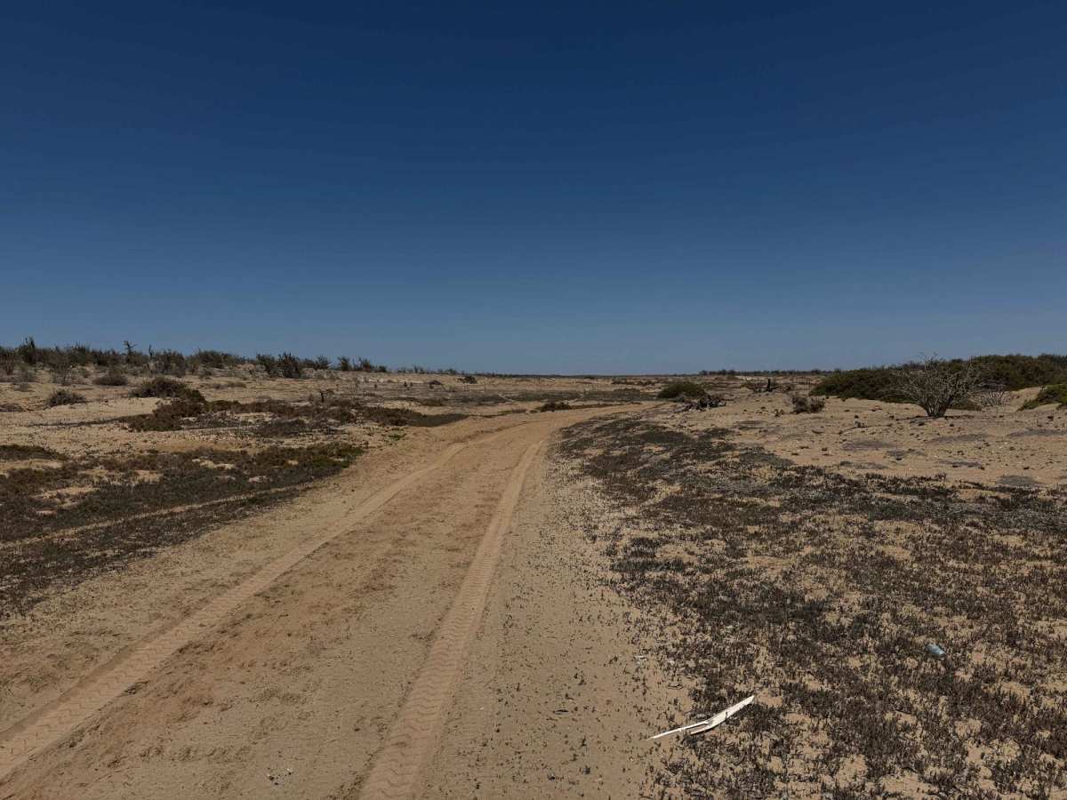
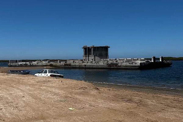
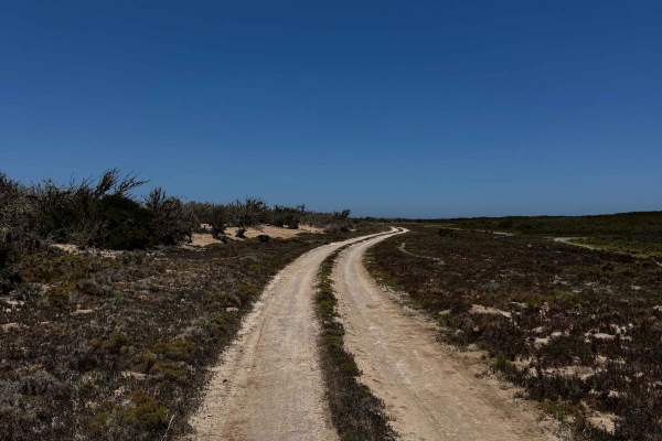
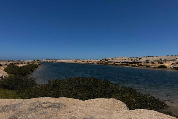
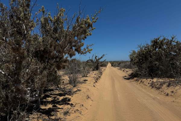
This narrow two-track trail, just wide enough for a single vehicle, follows a popular section of the Baja racecourse and begins at a massive, deep canal known locally as "Canalito," a remnant of the region's historic phosphate mining era. Beyond the canal, the route stretches out in a mostly straight line for about four miles, featuring gentle whoops and a consistent layer of sand ranging from 2 to 4 inches deep. The terrain is relatively flat with occasional mild inclines, weaving through mid-to-high desert vegetation. As the trail progresses, it bends at a 45-degree angle to the left, gradually descending toward the mangroves and the coast. Within a quarter to a half mile of the shoreline, ocean views begin to emerge, and the landscape opens up dramatically. The trail ends at a junction where turning right or left leads to more sandy segments of the Baja race route, while continuing straight enters the mangroves--an area that requires caution due to the potential for soft, waterlogged ground.
Difficulty
This route is generally not difficult, but the north-south section can present challenges due to loose sand and occasional uphill stretches where traction may be an issue. Because of the remote location, 4WD is highly recommended, along with some sand driving experience and confidence in your tires' performance. Proper preparation is key to safely navigating this part of the trail.