Trail Overview
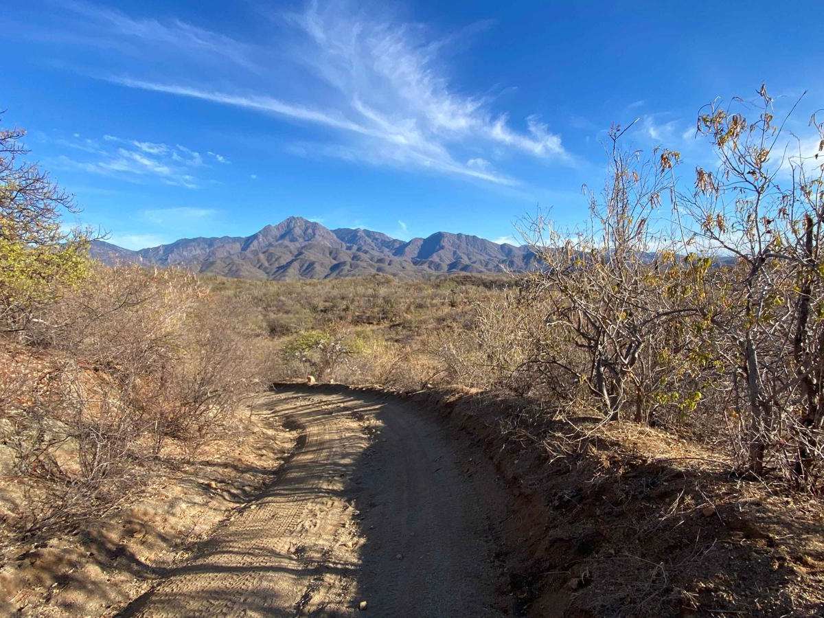
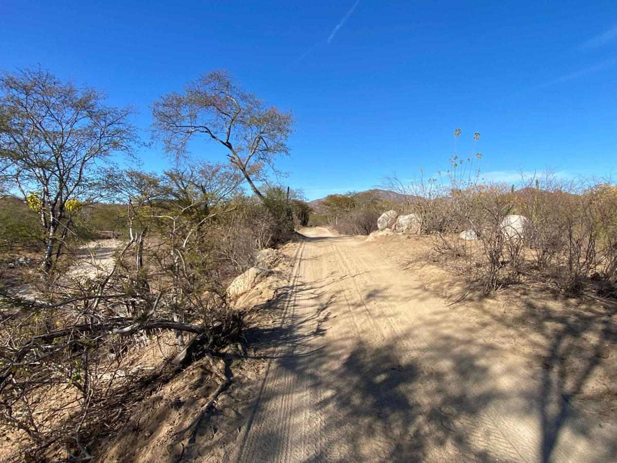
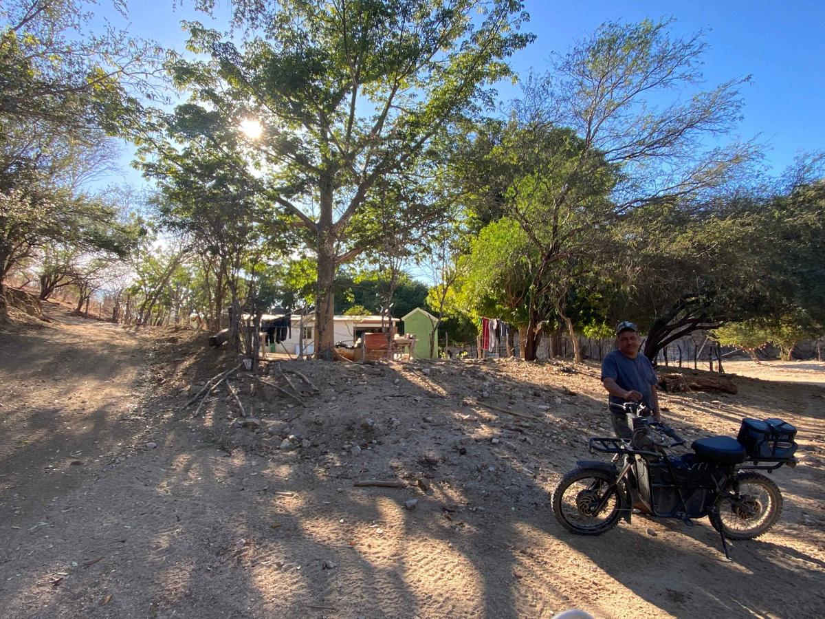
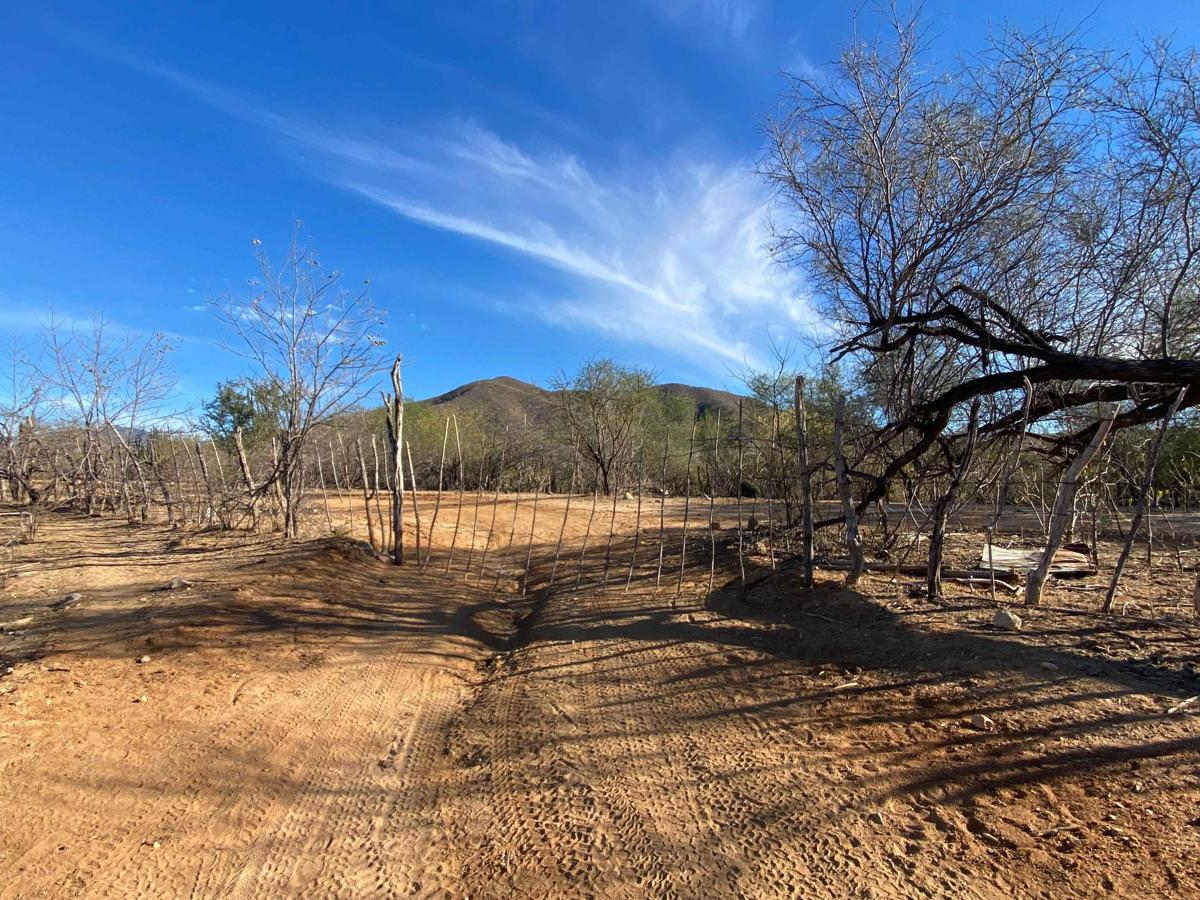
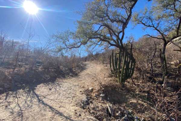
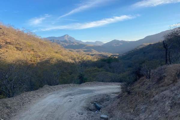
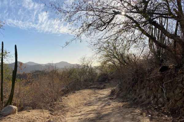
This off-road trail begins at the turnoff to Rancho Aldemado, leading you through a stunning desert landscape marked by gentle ascents and descents. Shortly after starting, you'll navigate a 50-meter stretch of thick concrete and encounter an unlocked gate--be sure to close it behind you. The journey continues along a well-traveled, relatively smooth road free of significant washboarding. Another unlocked gate follows, leading to signs for the Sierra La Laguna Biosphere Reserve. The road forks right here, maintaining a well-graded surface as it winds through an arroyo with some sand. Passing under a massive tree, you'll arrive at Rancho Pintado; take a sharp left uphill, opening and closing yet another gate before continuing into the mountains. The final section features a few steep, rocky, and slightly off-camber climbs, where you may need to engage 4WD. Shortly after these minor challenges, the trail connects to another route, guiding you toward a reservoir and eventually the town of Todos Santos.
Difficulty
This trail is relatively easy, with most of it navigable in 2WD. However, a steep section near the end requires 4WD, elevating its difficulty to a Level 2 rating.