Trail Overview
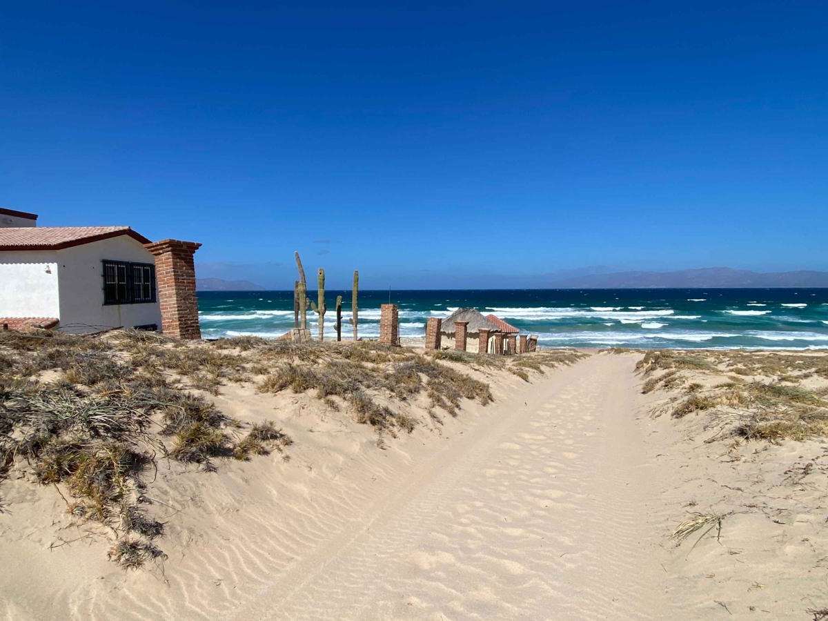
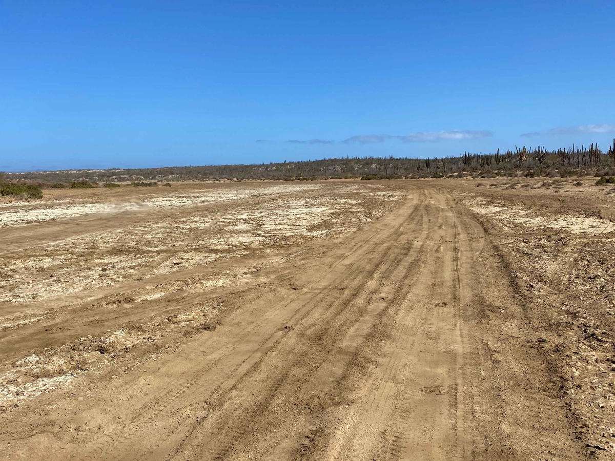
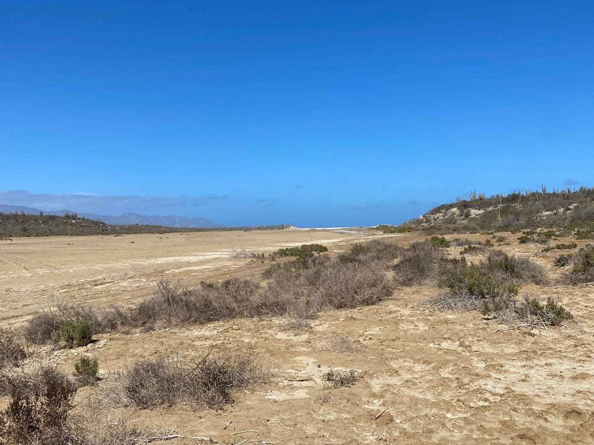
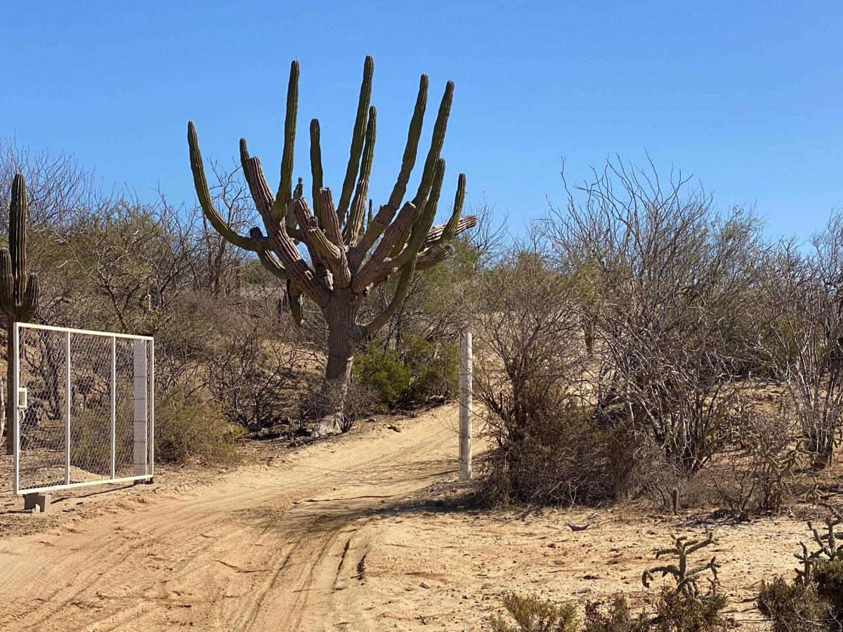
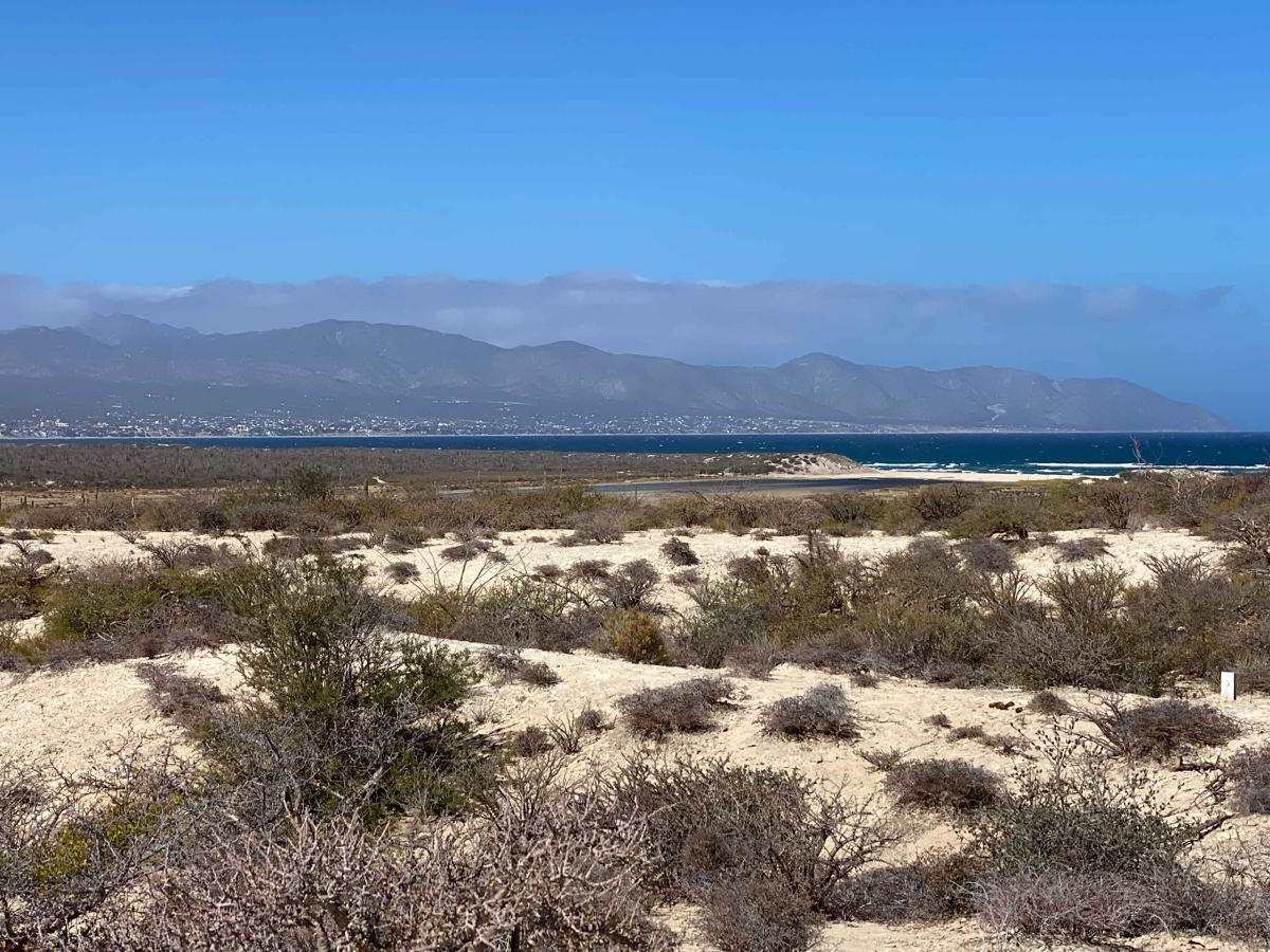
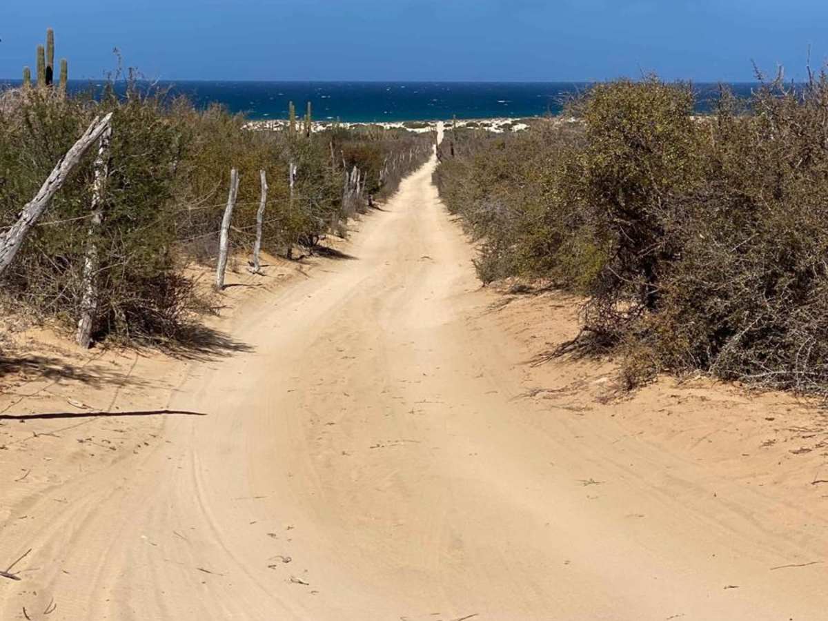
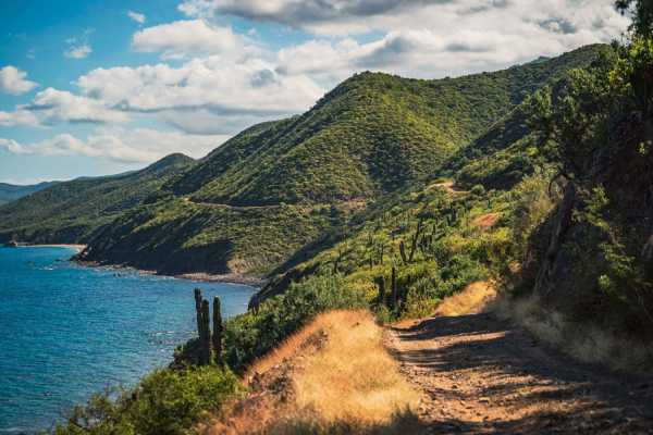
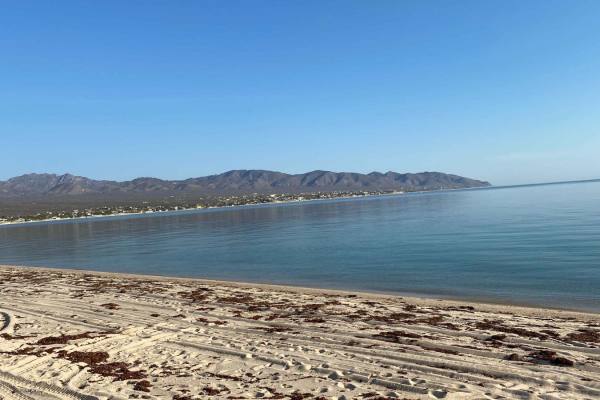
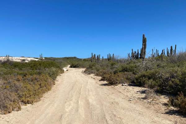
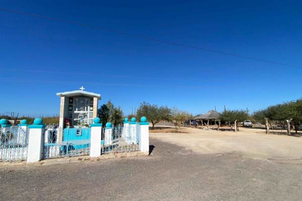
This off-road route begins just off the Los Planes Highway and heads straight toward the beach near the Turquesa area, turning left about half a mile before reaching the water. The trail is easy to navigate, with minimal challenges apart from a few sandy sections, and offers a unique perspective on the area's land developments. It primarily runs parallel to the coast, about half a mile inland, with opportunities to veer off toward the beach at various points. After a long straight stretch, the trail curves left, descending gently into the salt flats. Caution is advised in this area during or after wet weather, as the apartments can become impassable--consider walking ahead if conditions appear questionable. Once across, the trail skirts the edge of the flats and leads to the beach, where deep sand can present a challenge. Those climbing the nearby hill for sweeping ocean views should be prepared for 4WD conditions. The route also connects with other onX trails, offering options to head south or explore toward La Ventana, making it a versatile adventure through Baja's diverse landscapes.
Difficulty
In dry conditions, this trail is suitable for 2WD vehicles with good ground clearance. However, the salt flats can become significantly more challenging to navigate after storms or during wet conditions, so exercise caution.