Trail Overview
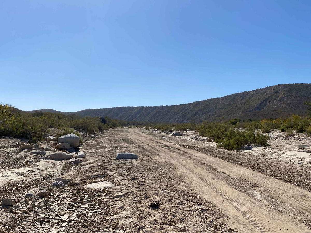
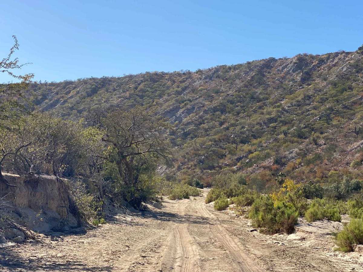
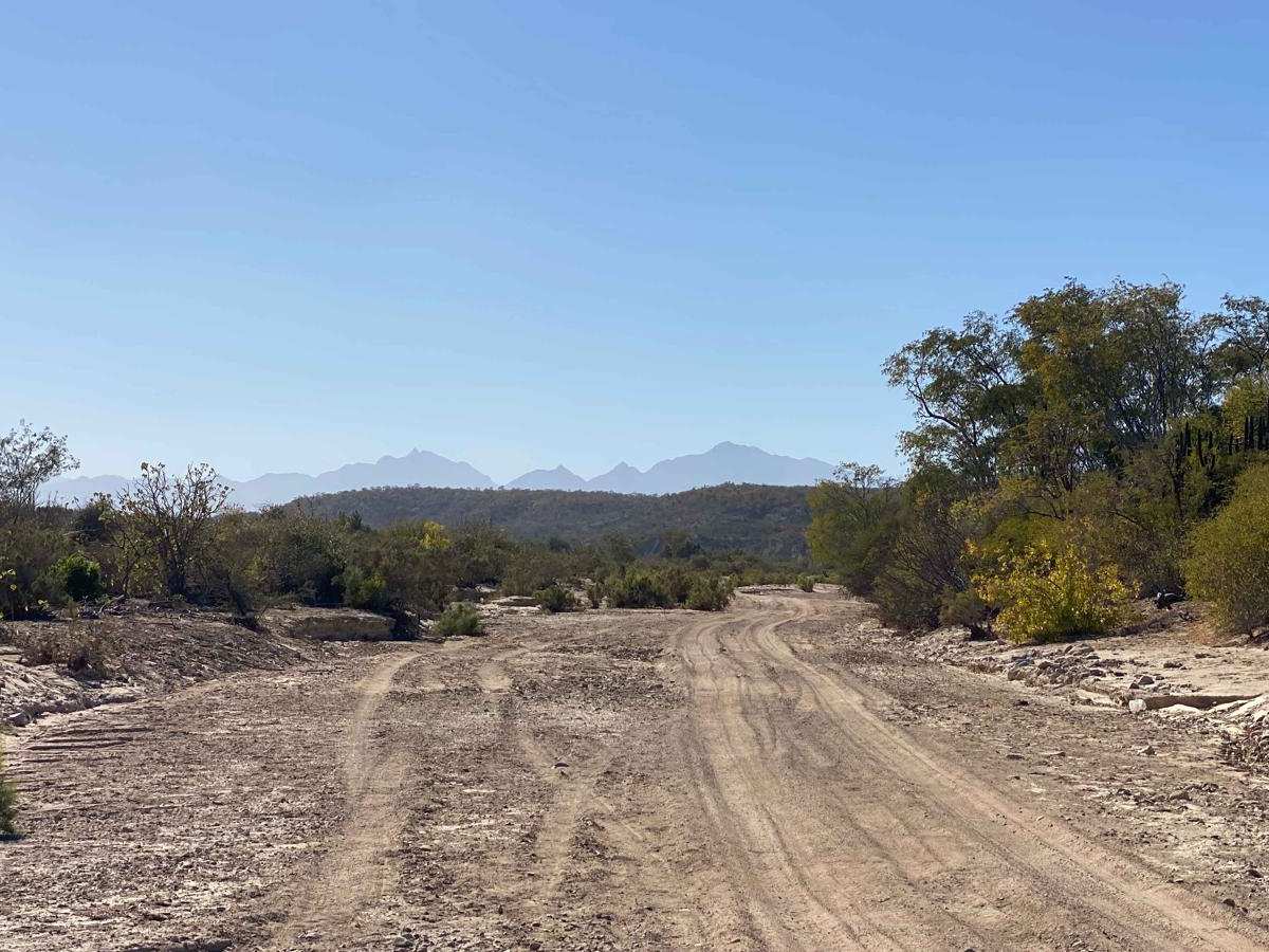
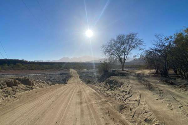
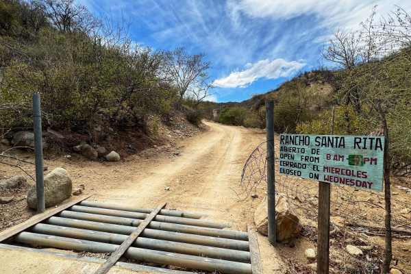
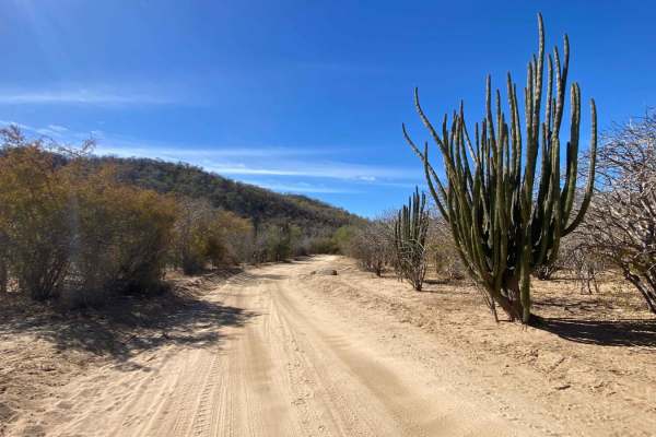
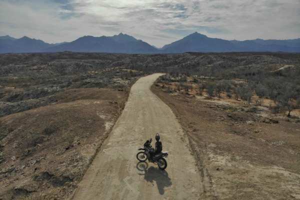
Starting at the Santiago Rancho Rita route, this dirt road begins with some washboarding that smooths out quickly. Large expedition vehicles may encounter low-hanging trees, but most vehicles can navigate the graded section without issues. The route passes through wet areas, oak groves, old ranches, and desert terrain, with occasional wildlife such as deer and roadrunners. Turning left into the arroyo, there are solid camping spots near the road. Drivers should watch for deep sand and a few rocky sections, especially toward the middle and end. A tight left turn around the halfway point can be difficult for 2WD vehicles, so 4WD is recommended, though maintaining speed and staying near the cliff wall can help. The arroyo primarily consists of six-inch-deep sand with some firm sections. At Ribera Loop, travelers can either continue straight through the arroyo or take a left onto a more maintained road, both leading to the Carretera Cabo Este highway toward Cabo Pulmo.
Difficulty
This route is rated for 4WD mainly due to one or two sections of very deep sand in the arroyo. While you may not need 4WD in dry conditions, it's highly recommended to have it. In wet conditions, the arroyo can become unpredictable, so travelers should carefully assess the route before proceeding.