Trail Overview
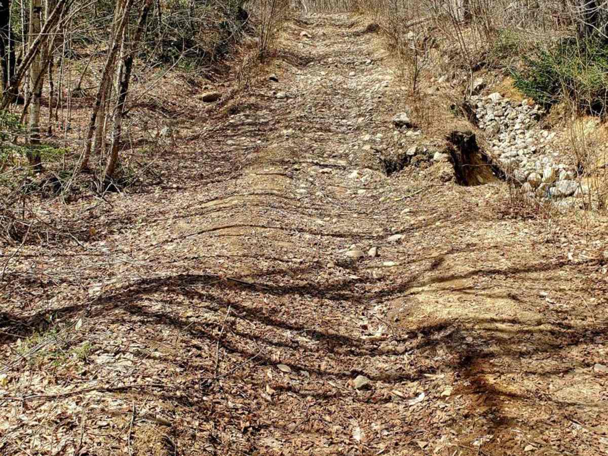
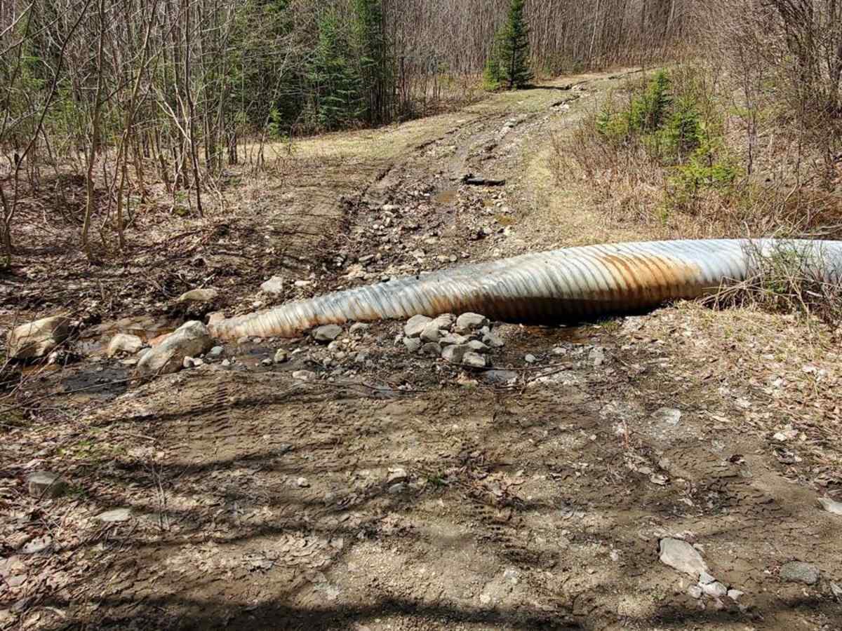
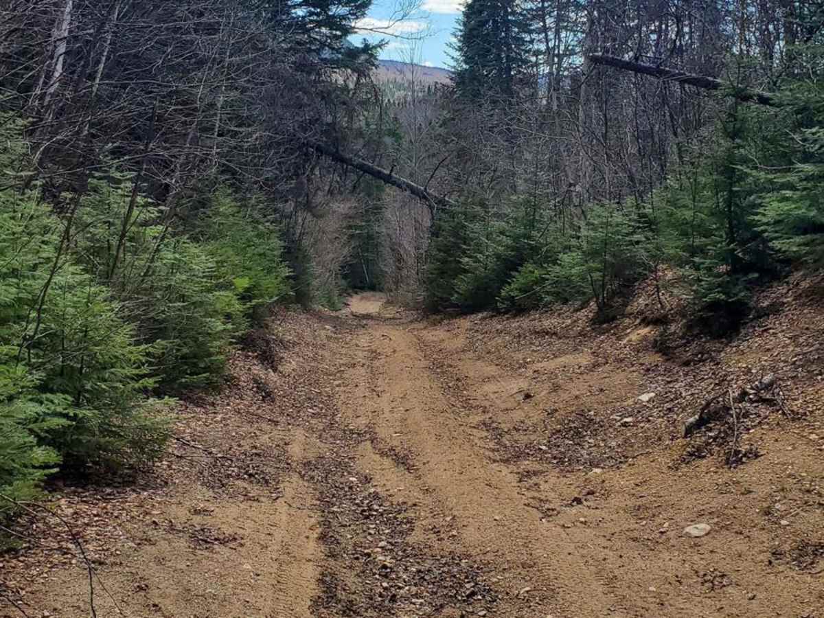
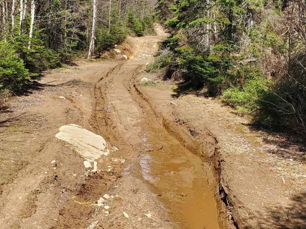
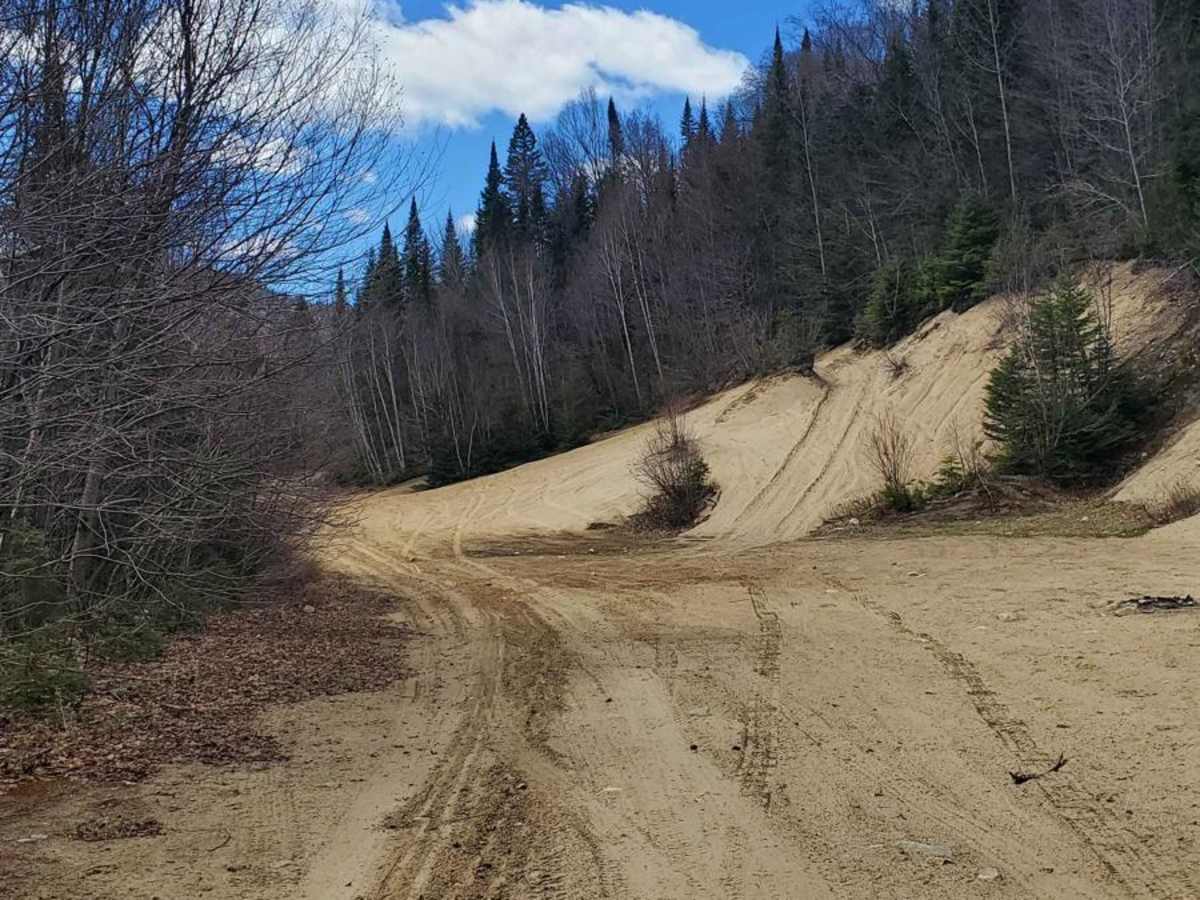
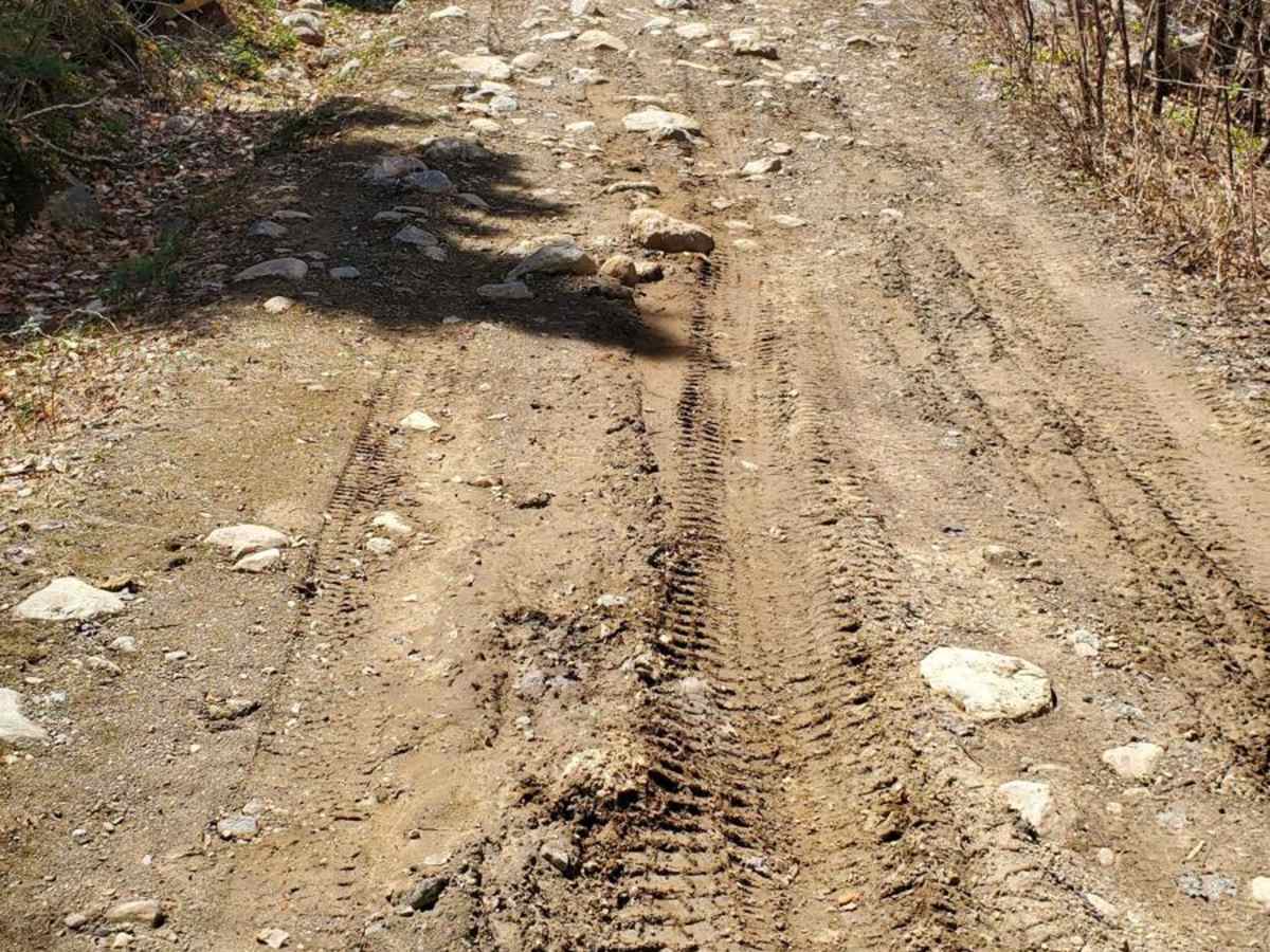
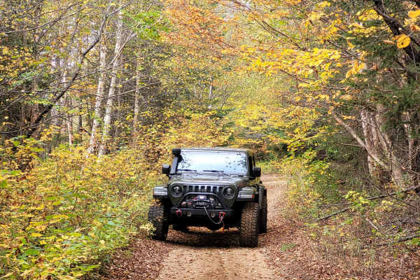
The BAJA trail provides an enjoyable experience for intermediate 4x4 enthusiasts. It typically takes less than an hour to complete one way. If you enter from Route 125 North, be prepared for a challenging narrow slope where only one vehicle can pass at a time. Some parts of the trail may have sagged, so it is important to maintain a proper line to avoid any risk of overturning. You will encounter a metal corrugated culvert drainage pipe measuring 30 inches in diameter that you will need to pass over. Alternatively, you can take an easier entry point from Route 125 North, which will reconnect further along the trail. However, be cautious of not trespassing on private property. As you continue along the trail, it widens up. After that point, you will encounter only two main obstacles that could be challenging. The first obstacle is an extended stretch of mud, approximately 10 inches deep, with a steep entry or exit due to a large rock. The second obstacle is a flooded road where you will have to ford a water depth of 30 inches. Note that this depth was observed earlier in the season, specifically in May. The trail remains accessible to certain non-modified vehicles designed for off-road use and vehicles with sufficiently increased ground clearance. The usage of 4x4 in the low range could be necessary in certain sections of the trail. A vehicle with a minimum clearance of 9 inches and equipped with 30-inch tires is recommended.
Difficulty
Expect a water crossing that has a maximum of 30 inches deep. It could be lower (18 inches) in the dry season. There are 10-inch mud holes, obstacles around 18 inches, and steep grades of 20 degrees.