Trail Overview
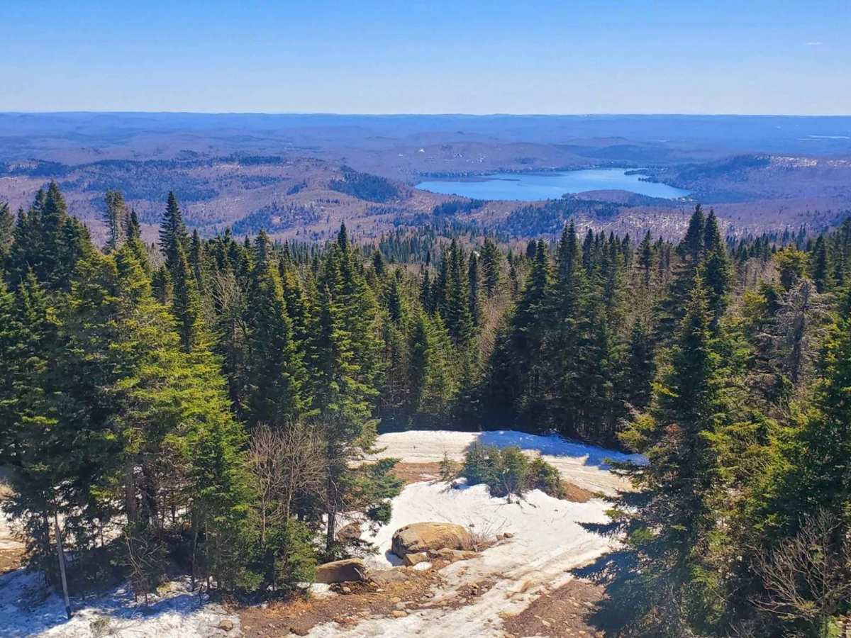
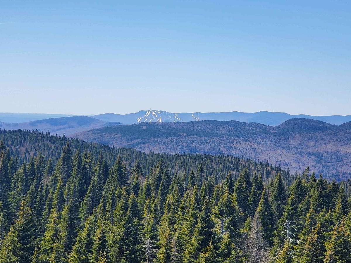
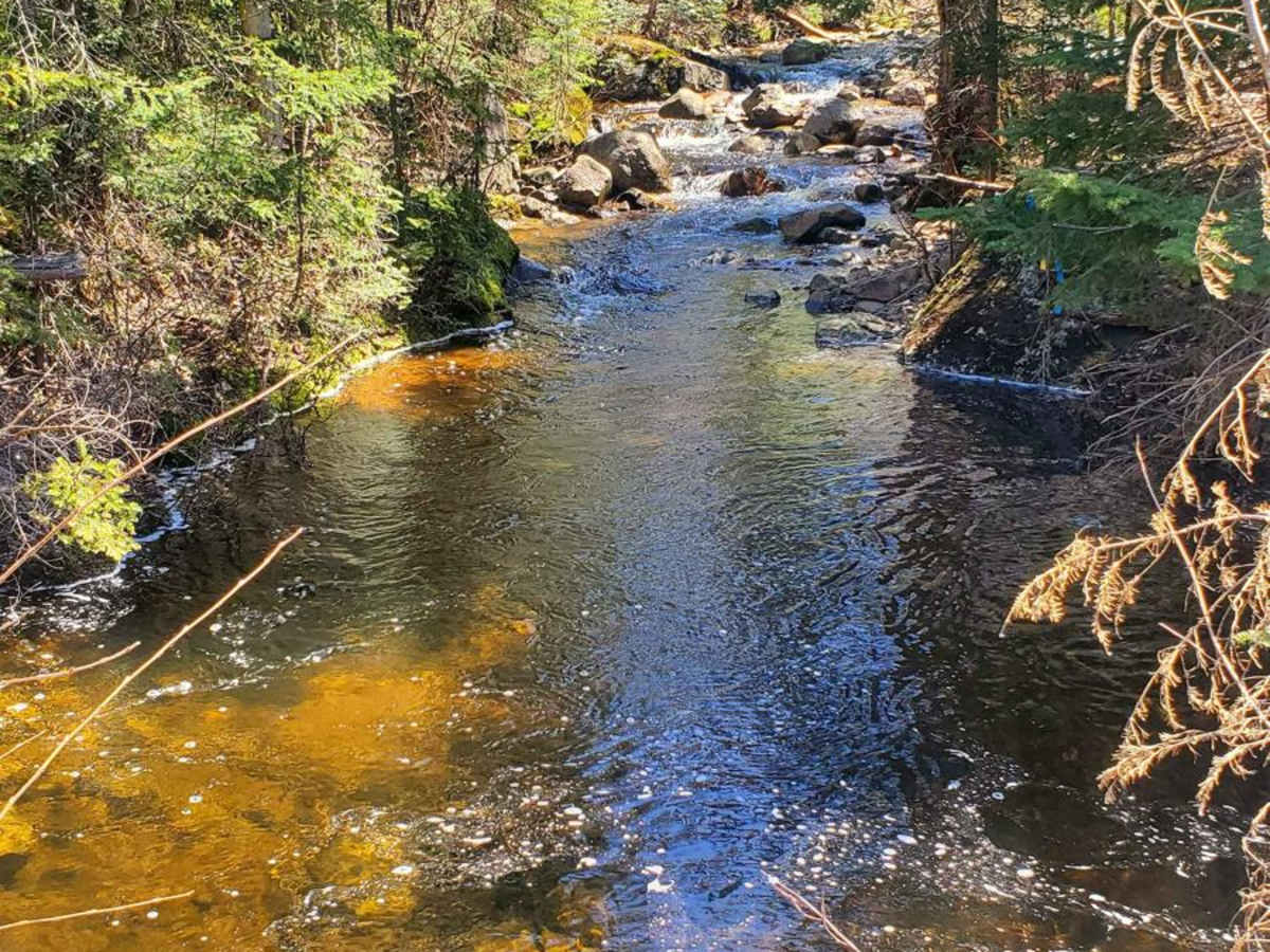
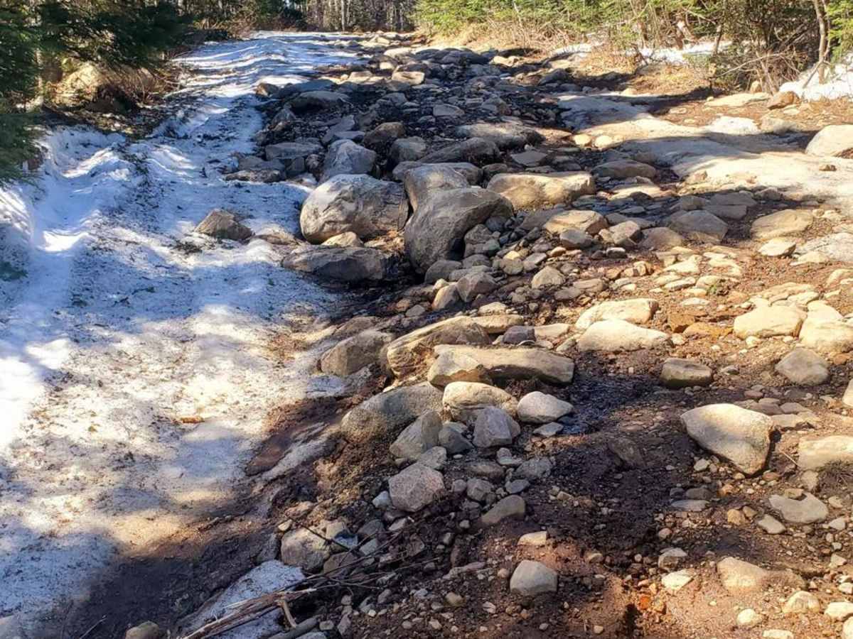
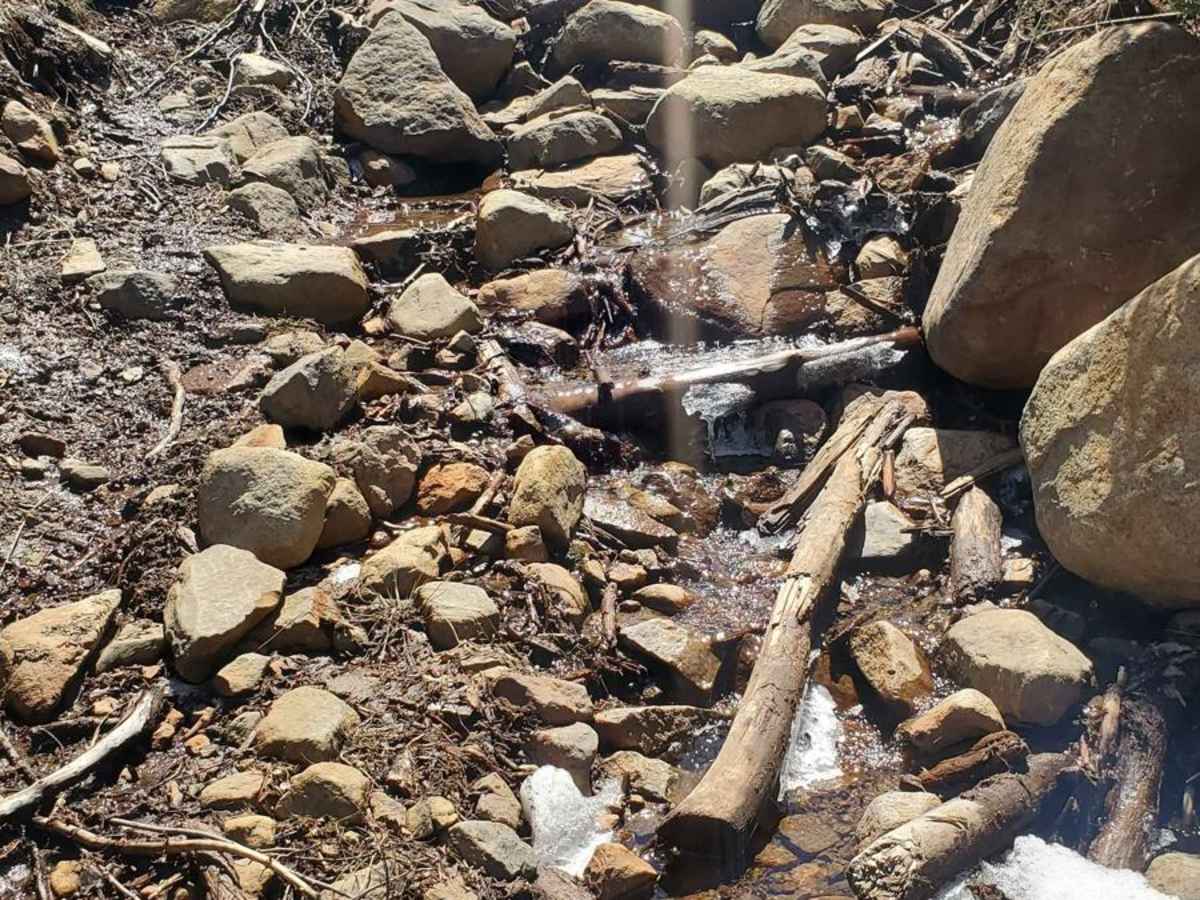
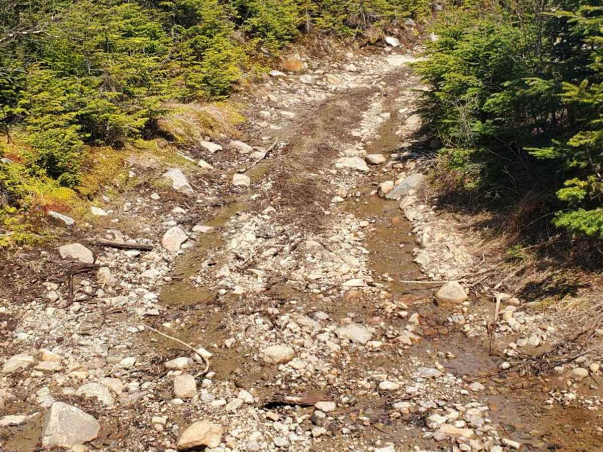
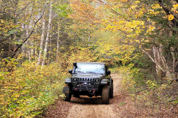
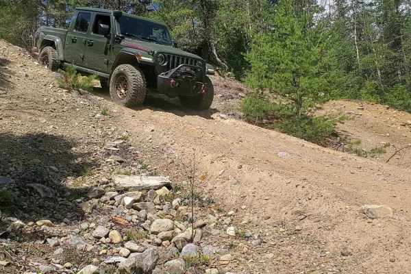
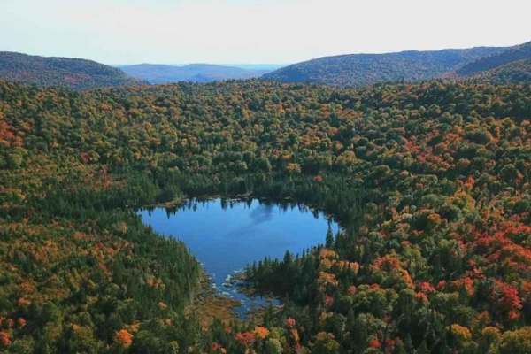
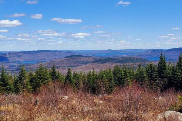
Experience the thrill of an off-road adventure on the renowned Montagne Noire, French for Black Mountain. To fully enjoy this exhilarating journey, take a vehicle with a minimum of 9 inches of clearance and 30-inch tires. While a 2x4 vehicle can tackle the challenge, a 4x4 is strongly recommended. Lockers can be helpful but are not essential. Plan for approximately 4 hours roundtrip, including a break at the summit. The track initially starts with easy dirt roads and water puddles, but gradually transitions to areas with fist-sized pebbles and eventually bigger rocks and obstacles. For those seeking an extra adrenaline rush, various sections are divided into two passes: easy or hard. The track is wide enough to accommodate vehicles up to 1.5 SUVs across, allowing for convenient passing. However, please note that cell reception can be intermittent throughout the journey. Along the way, you will cross small creeks and find yourself surrounded by a picturesque landscape of mature trees.The summit offers a breathtaking panoramic view that includes Mont Tremblant, Lake Ouareau, and their beautiful surroundings. Don't be surprised if you encounter hikers at the summit, as numerous walking trails converge at this spectacular viewpoint. During the thaw period and winter season, the track is closed for 4x4. It's essential to double-check the opening and closure dates with your local off-road club before planning your trip. Prepare yourself for an enjoyable off-road experience on the Montagne Noire, where adventure awaits at every turn.
Difficulty
While the trail may appear easy at first, as you continue your ascent, you will encounter increasingly challenging obstacles. Water erosion can cause damage to certain segments of the trail, resulting in more challenging ledges that must be crossed.
History
La Montagne Noire is more than a simple hike! The village of St-Donat, located in the vast and beautiful region of Lanaudiere, boasts many peaks. The highest of them, the summit of the Montagne Noire, culminates at an altitude of 892 meters. Walking its trails allows you to contemplate magnificent landscapes but also to discover the site of the crash of a Canadian military plane, the Liberator Harry. During World War II, on October 19, 1943, a military aircraft carrying 20 passengers and 4 crew members crashed near the peak of the Montagne Noir. The aircraft, a Canadian Army Consolidated Liberator B-24, took off from Gander Airport in Newfoundland and was on its way to Mont-Joli Airport. Bad weather conditions prevented it from landing there and the plane was redirected to Dorval or Rockcliff airports, near Ottawa. It never made it to either airport. All 24 passengers were killed instantly and a large part of the aircraft was destroyed by fire. At the time of the Liberator's disappearance, intense aerial searches were carried out. Between October 20 and November 26, 1943, 728 sorties totaling 2,438 flight hours took place. But the remains of the plane were invisible among the countless peaks of this densely vegetative region. The Liberator Harry was eventually discovered by chance, almost three years after its crash, in June 1946. Aerial searches were being carried out to find another missing plane in the area. Immediately after sighting the metal debris and the twin fins of the Liberator, ground troops set out to climb through the untamed forest. When they arrived at the crash site, they could confirm that the crash was indeed the Liberator Harry with all passengers and crew having perished. To this day, the crash of the Liberator Harry is still the Royal Canadian Air Force's worst air tragedy. A commemorative monument has been erected and 24 white crosses allow the names of those who lost their lives to be read. The plane's fuselage still lies there, surrounded by debris.