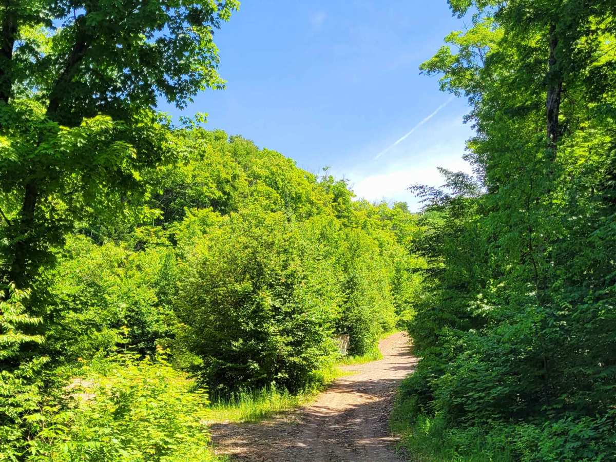
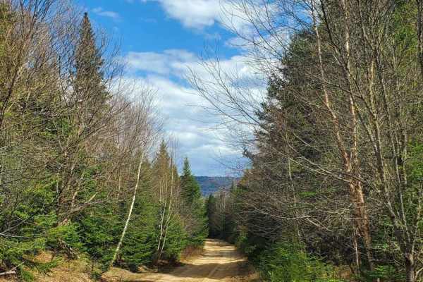
Trail Overview
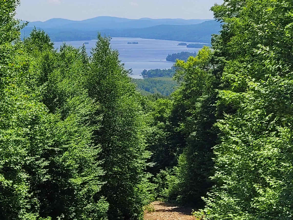
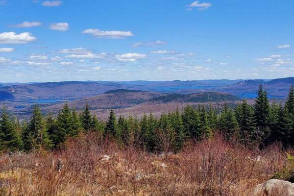
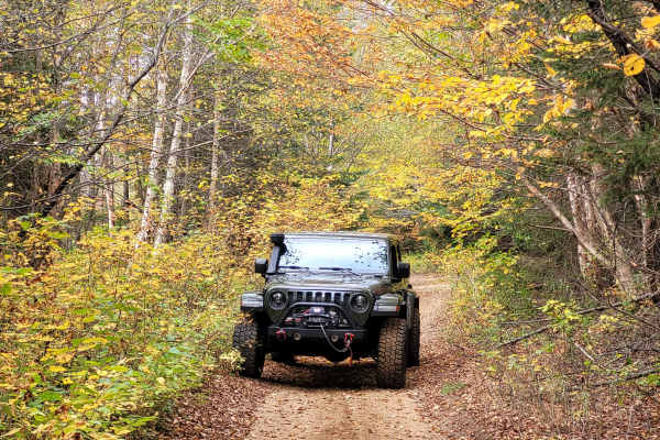
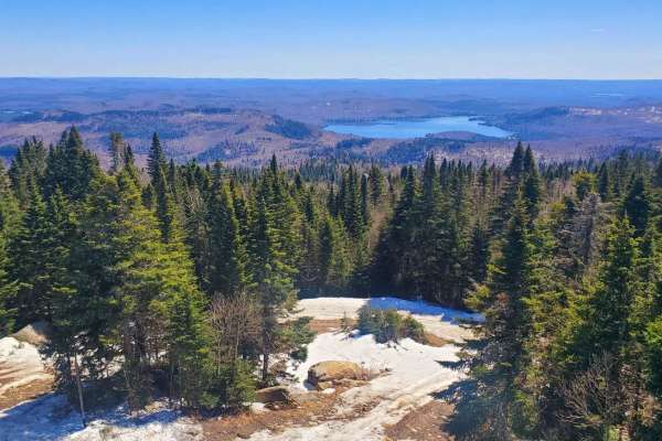
Mont Sourire translates to "Smiley Mountain" in French — a name well-earned by this enjoyable 8.5 km (one-way) trail. It offers stunning views of Lake Ouareau and its surroundings, making the ride as scenic as it is fun.
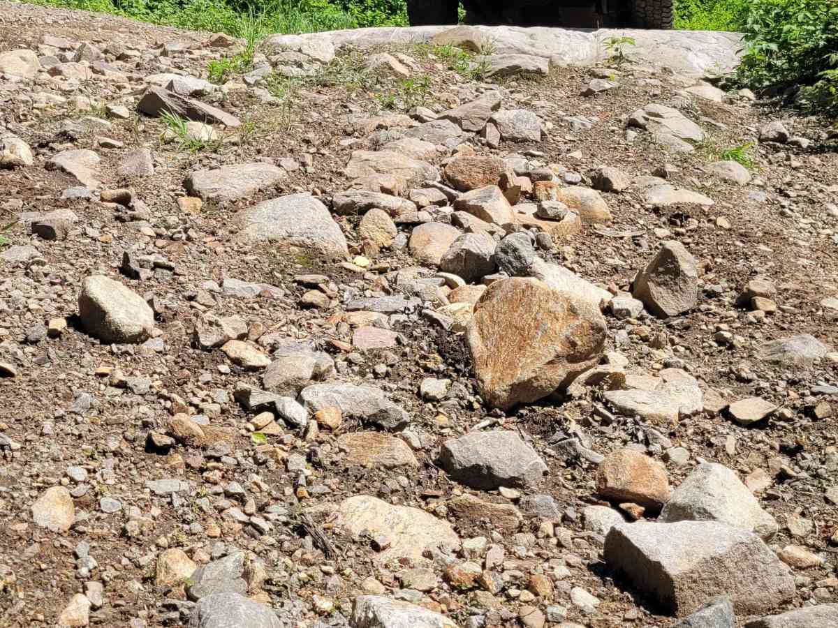
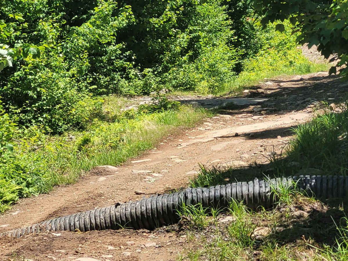
The trail features a mix of gravel and larger rocks, up to the size of pineapples, particularly at the beginning and end. The midpoint may pose a bit of a challenge for beginners, with a 15° climb over loose rocks — some protruding more than a foot. That said, picking the right line is fairly intuitive.
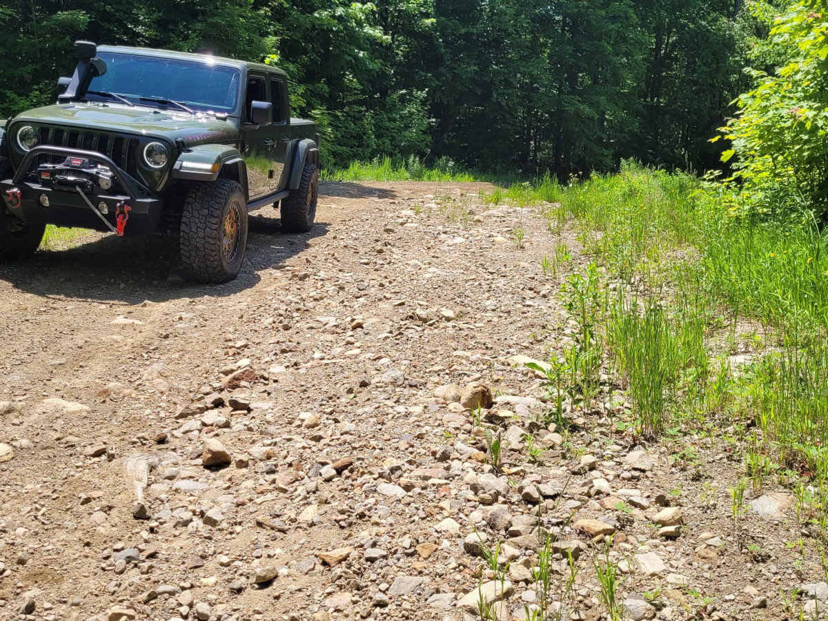
Locking differentials or 4-Low aren’t necessary for the entire trail, but vehicles should be equipped with at least 30" tires and around 10" of ground clearance if skid plates are not installed. Cell reception is spotty, so
plan accordingly.
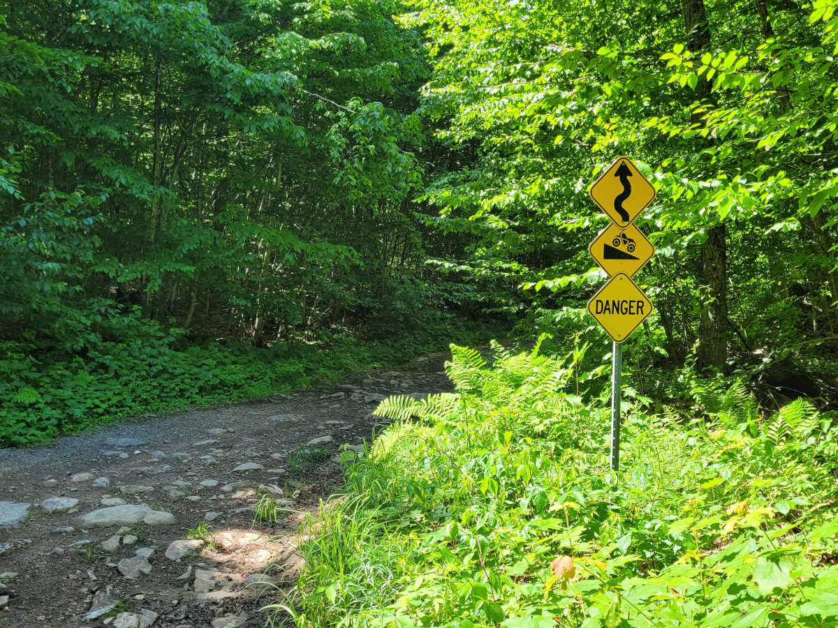
There are hiking trails in the area, and while the off-road route is accessible from either end, be cautious: the trail is primarily used by ATVs, and many side paths can lead to dead ends where turning around may be difficult.
For the most breathtaking experience, I highly recommend doing this ride in the fall when the changing leaves create a truly majestic atmosphere.
Difficulty
The midpoint may pose a bit of a challenge for beginners, with a 15° climb over loose rocks — some protruding more than a foot.
Vehicles should be equipped with at least 31" tires and around 10" of ground clearance if skid plates are not installed.