Trail Overview
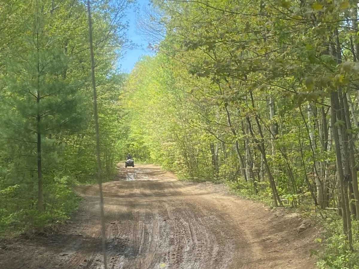
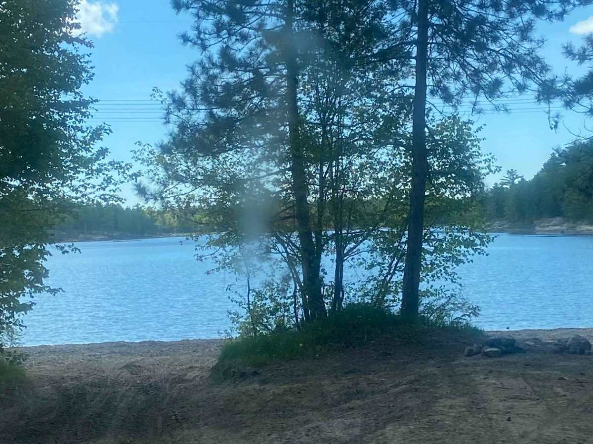
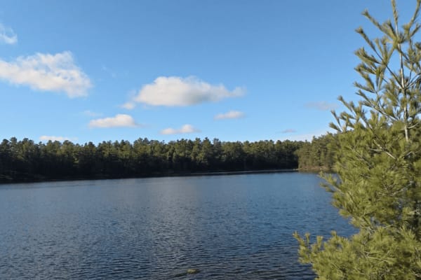
The Ardbeg Trail is a well-loved off-road route situated on Crown Land, approximately 42 kilometers northeast of Parry Sound, Ontario, deep in the Canadian wilderness. The Loggers Station House makes for a great stop, as it serves as a restaurant and a great place to air down. This trail network offers a diverse range of off-roading experiences, ensuring that adventurers never find themselves bored. It's a hidden gem for off-road enthusiasts of all kinds, featuring everything from challenging rock climbs to more leisurely trails. The Hydro One line runs through the area, connecting important sites to the major cities in southern Ontario. If you head south on the trail, you'll encounter bridges and waterfalls, eventually leading you to Parry Sound. Traveling north, you'll find yourself in Sudbury, the Nickel City. This region is a pristine stretch of the Canadian Shield, perfect for exploration. Starting from the Loggers Station House, you follow a dirt road called the Bunny Trail, which eventually leads to Black Lake. Many visitors to the Ardbeg Trail choose to set up camp at Black Lake. Along the Bunny Trail are numerous spots where mid-sized RVs can navigate. Additionally, at Black Lake, you'll find areas suitable for smaller RVs as well. However, with a bit of exploring, you'll discover numerous other nearby camping spots. The Ardbeg Trail offers a true off-road adventure in the heart of Ontario's wilderness.
Difficulty
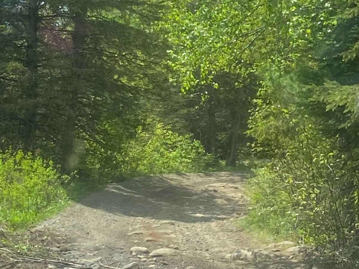
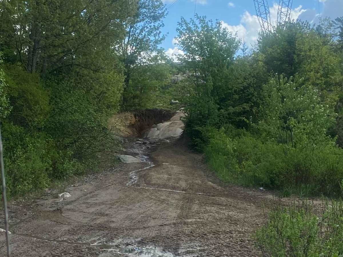
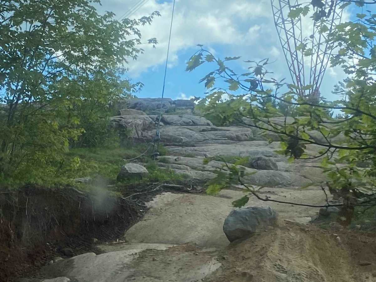
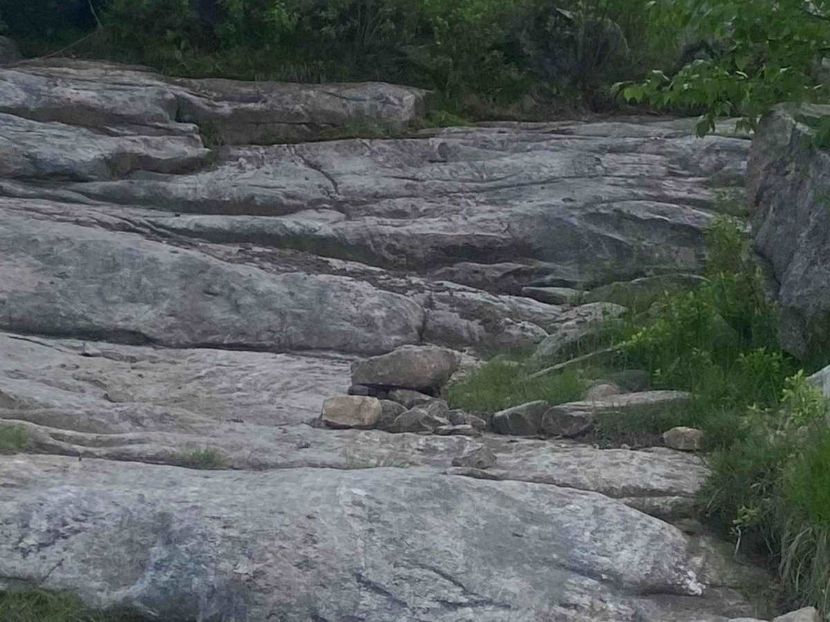
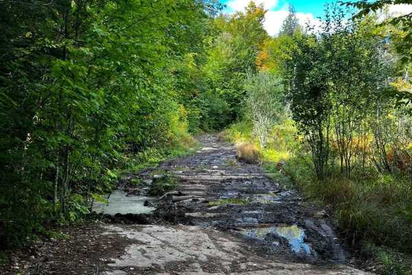
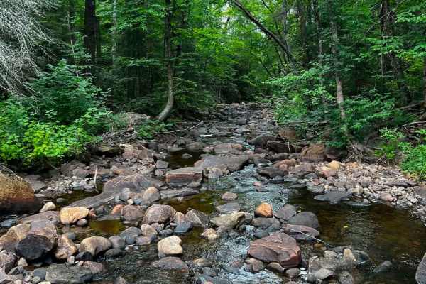
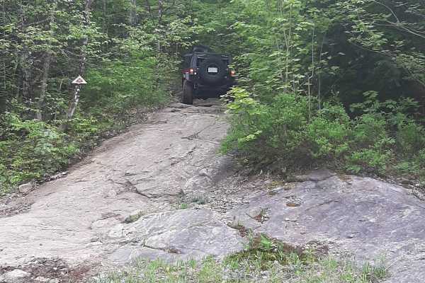
This trail is a stunning scenic route featuring water crossings, mud holes, off-camber sections, and rock ledges. On the main trail, a stock Jeep with 35-inch tires, as well as ATVs and dirt bikes, can navigate comfortably. This gives the trail a difficulty rating of 2-3. For those aiming to tackle the offshoots, rock ledges, or mud holes, 40-inch tires, a winch, and lockers are recommended. These features are necessary due to the slick rock surfaces, off-camber sections, and deep mud holes encountered on some of the climbs. This gives the offshoots a rating of 5-7.
History
The Canadian Shield is the original core, or craton, of the North American continent. In the settlement era, in 1879, incomers were of Scottish descent. Ardbeg did prosper for a number of years, functioning as a shipping point for two sawmills that produced lumber on nearby Gooseneck Lake.

 Offroad