Oxtongue

Total Miles6.4
Technical Rating
3Easy
Best TimeSummer, Fall
Trail TypeHigh-Clearance 4x4 Trail
Accessible By
Open Trail Map

Trail Overview

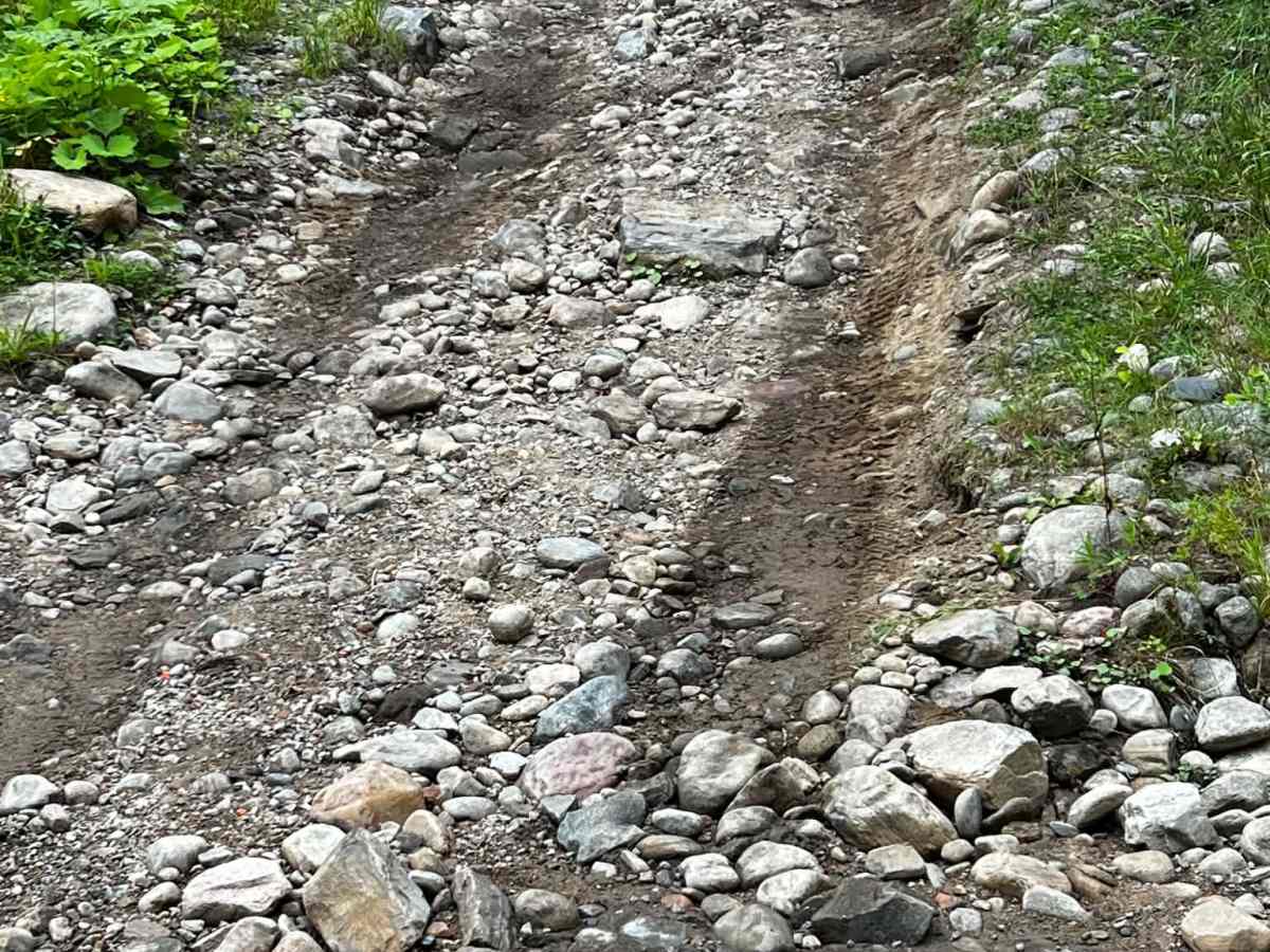
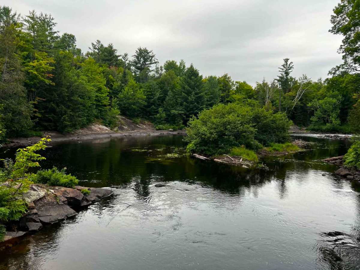
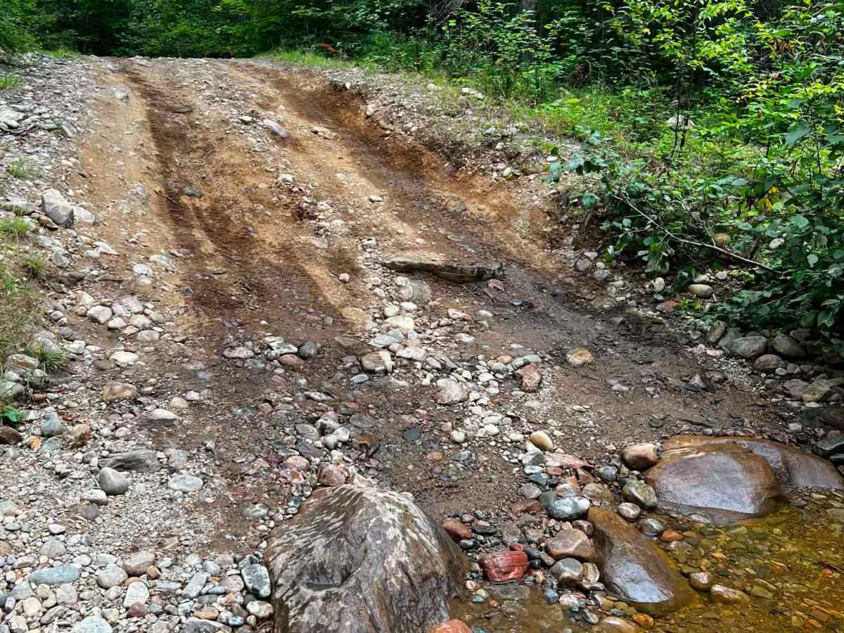
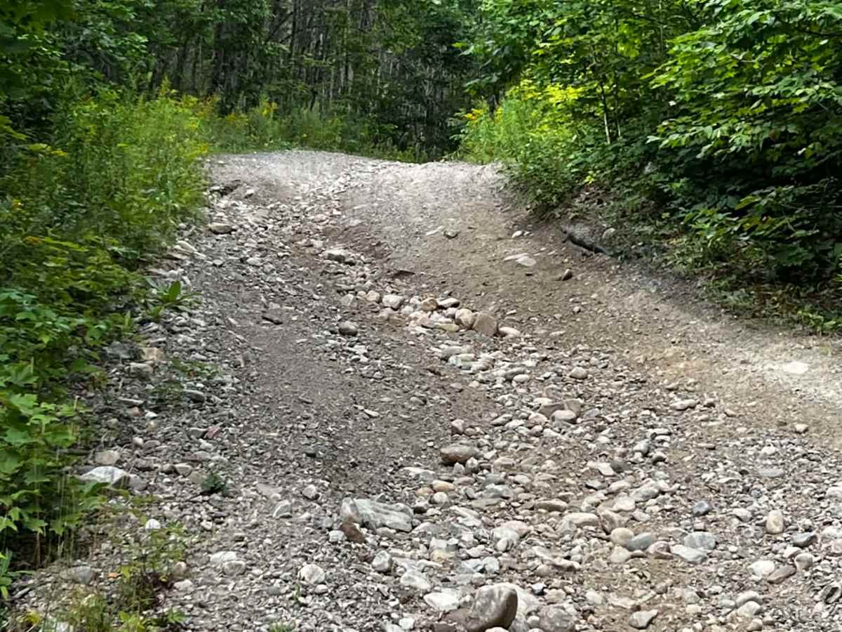
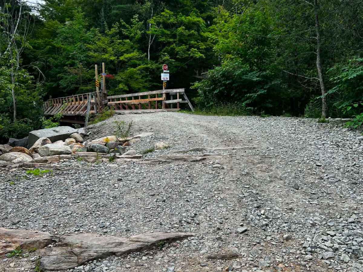
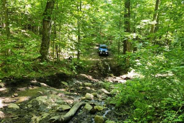
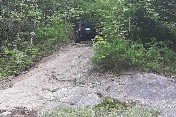
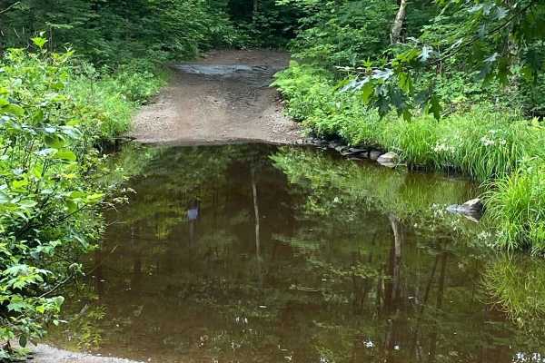
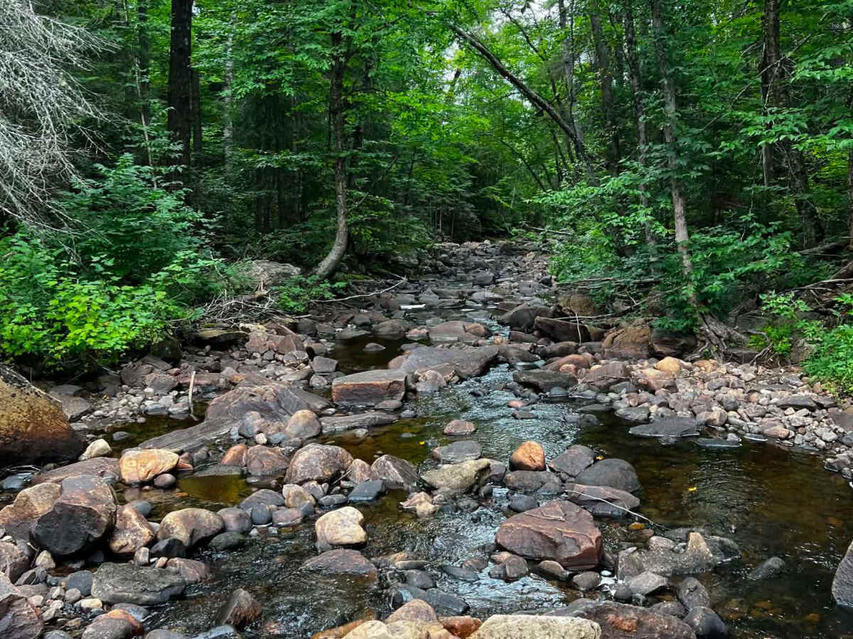
Easy route that can be run in either direction. Although the trail is nice and wide, the "Hunters Bridge" on the North end is not intended for full-size vehicle weight. The South end has a cool river crossing that can vary in depth but is shallow in the summer. The rest of the trail is primarily loose rock with mild climbs and descents that can be easily navigated. The river at the North end is worth a stop.

Photos of Oxtongue

Difficulty

A few sections set the pace, but generally easy to navigate and 2WD capable in many spots

History

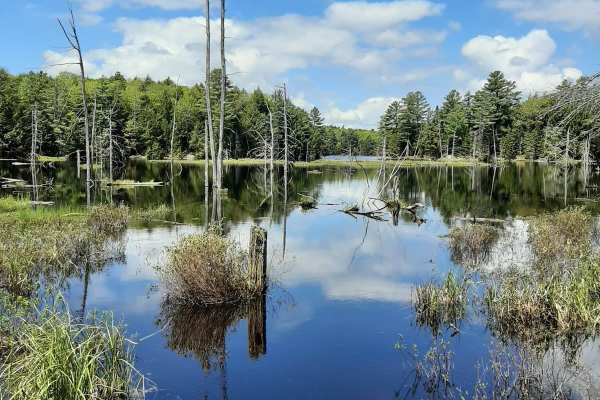
The Oxtongue River and Lake are a stunning region that was an inspiration for more than 40 "Group of Seven" paintings. The river flows through an ancient glacial spillway which drained meltwaters from the Algonquin Highlands into Glacial Lake Algonquin. There are still remnants of log chutes and dams evident at Ragged Falls from when the Oxtongue River was once part of the Gilmour Timber Route.

Technical Rating

3

Oxtongue Trail can be accessed by the following ride types:

  • 50 Inch
  • 60 Inch
  • High Clearance

Oxtongue Map

The onX Offroad Difference

onX Offroad combines trail photos, descriptions, difficulty ratings, width restrictions, seasonality, and more in a user-friendly interface. Available on all devices, with offline access and full compatibility with CarPlay and Android Auto. Discover what you're missing today!

Open Trail Map