Trail Overview
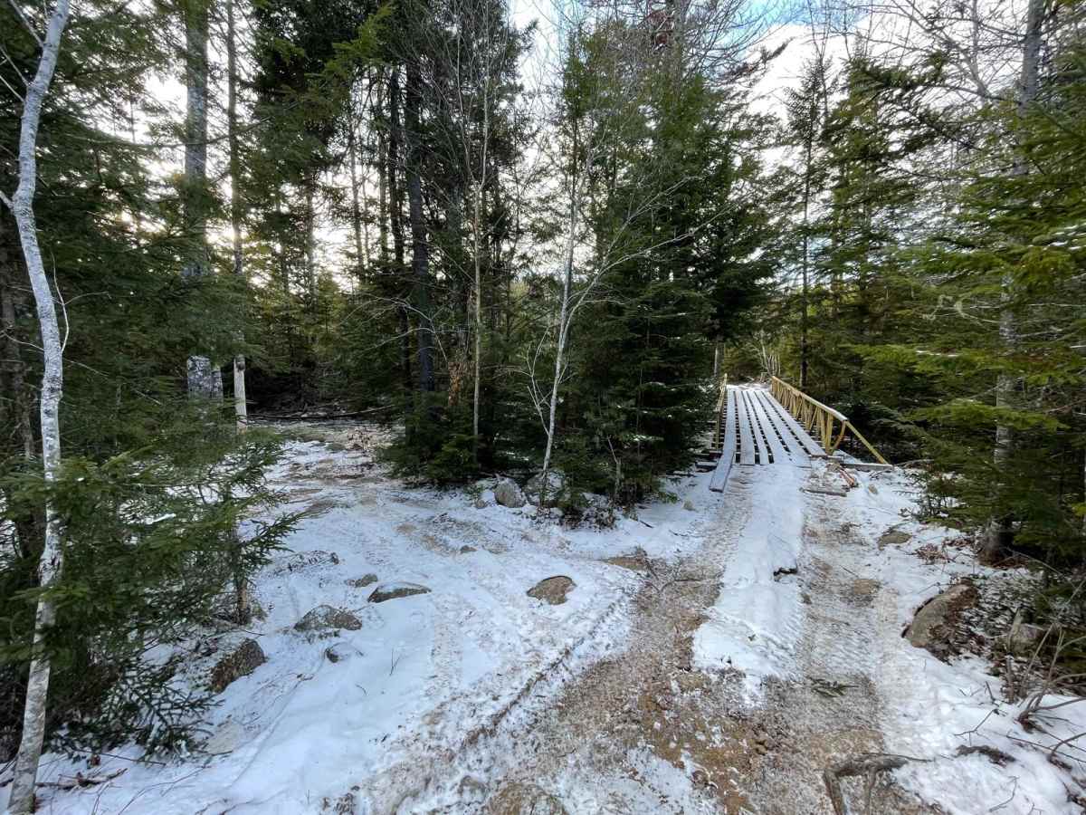
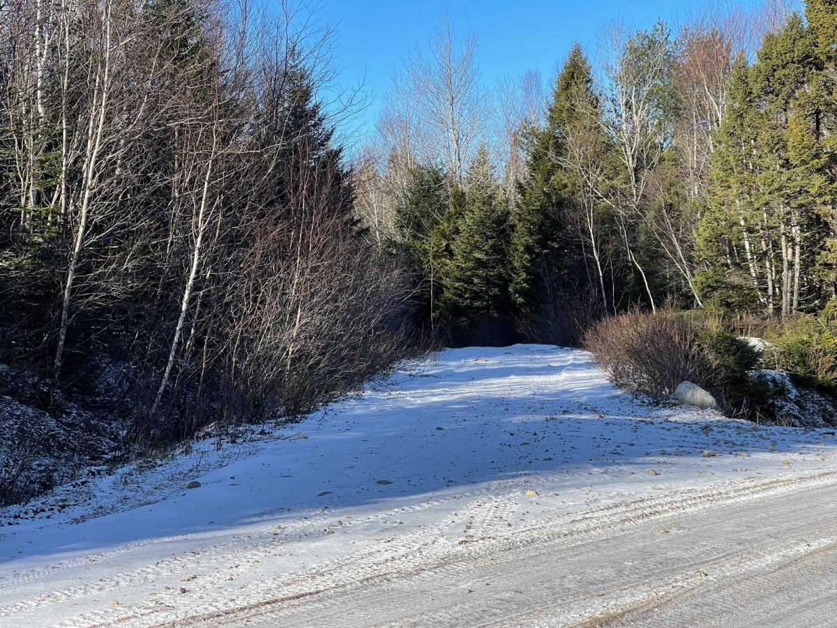
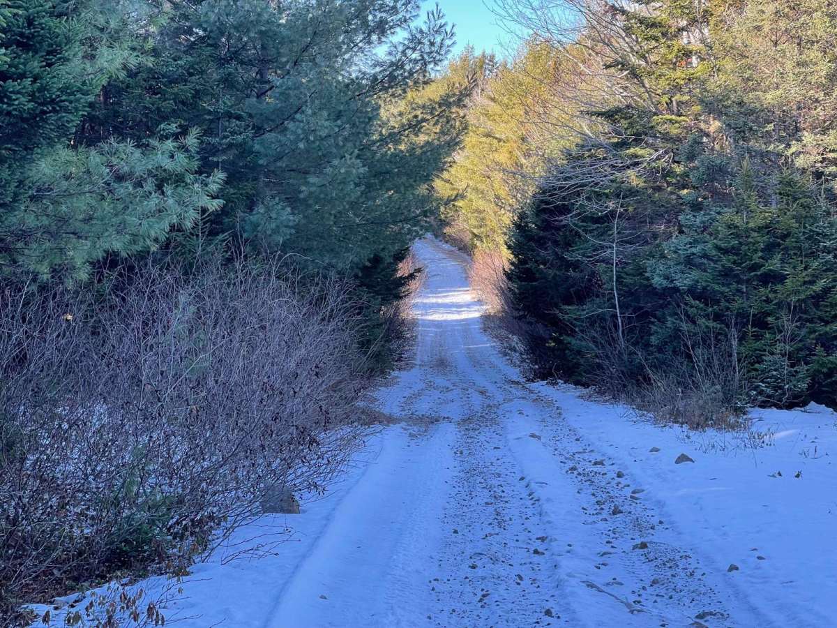
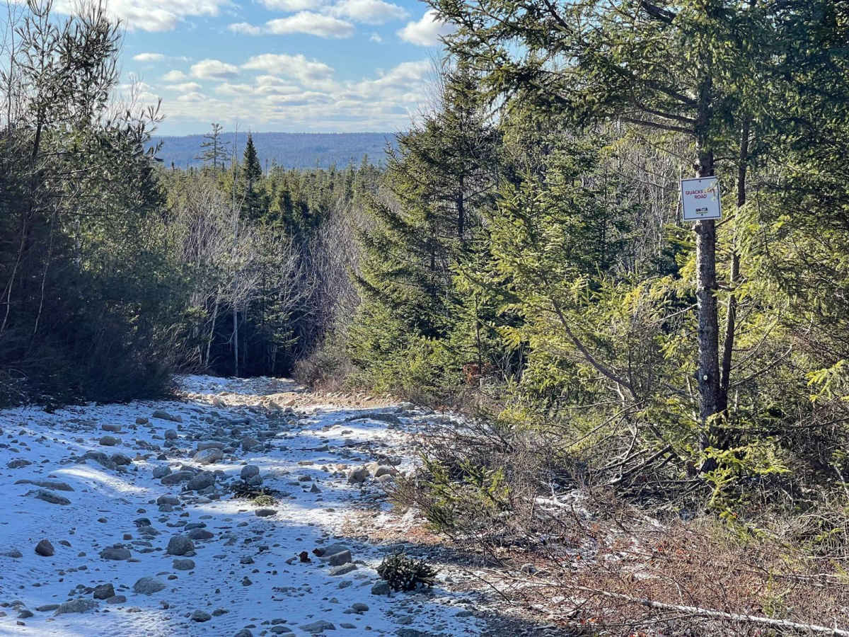
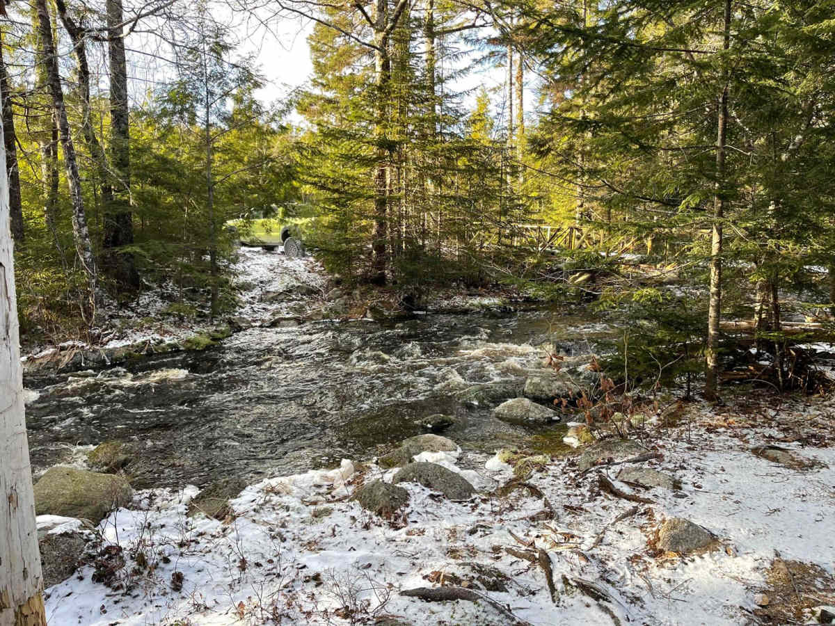
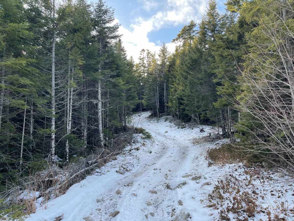
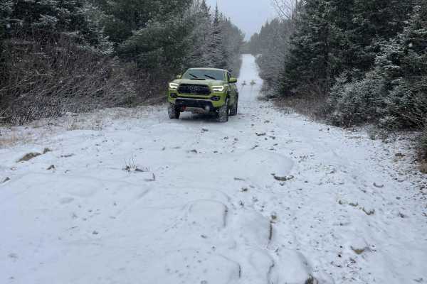
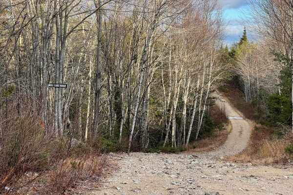
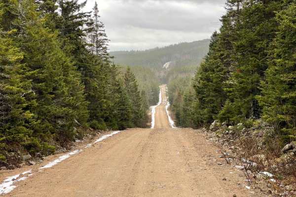
Quacks Lake Road is a versatile trail connecting Mill Lake Road and Ingramport Road, situated south of Quacks Lake and north of Vinegar Lake. While the majority of this trail is accessible by midsized trucks and SUVs, it is ideally suited for ATVs and small side-by-sides. The eastern section of the trail, east of Quacks Brook, is mostly wide with a few narrow sections that may cause pinstripes and small washouts. The western section, west of Quacks Brook, features 4 kilometers of brush that scrapes both sides of anything wider than an ATV, posing a risk of pinstripes and potentially a broken mirror for midsized vehicles. To cross Quacks Brook, Kelly's Toll Bridge is required, which is only suitable for ATVs and small side-by-sides. While you can enter the trail from both ends with larger vehicles to access many lakes and trails, crossing Quacks Brook is limited to ATVs and small side-by-sides, and turning around at Quacks Brook can be challenging. This trail offers a mix of accessibility and adventure, making it a great choice for off-road enthusiasts. Please note that according to the Nova Scotia Off-highway Vehicles Act Section 12A (1), no person shall operate an off-highway vehicle in or on a wetland, swamp, marsh, or watercourse.