Ingramport Road

Total Miles14.1
Technical Rating
1Easy
Best TimeSpring, Summer, Fall
Trail TypeFull-Width Road
Accessible By
Open Trail Map

Trail Overview

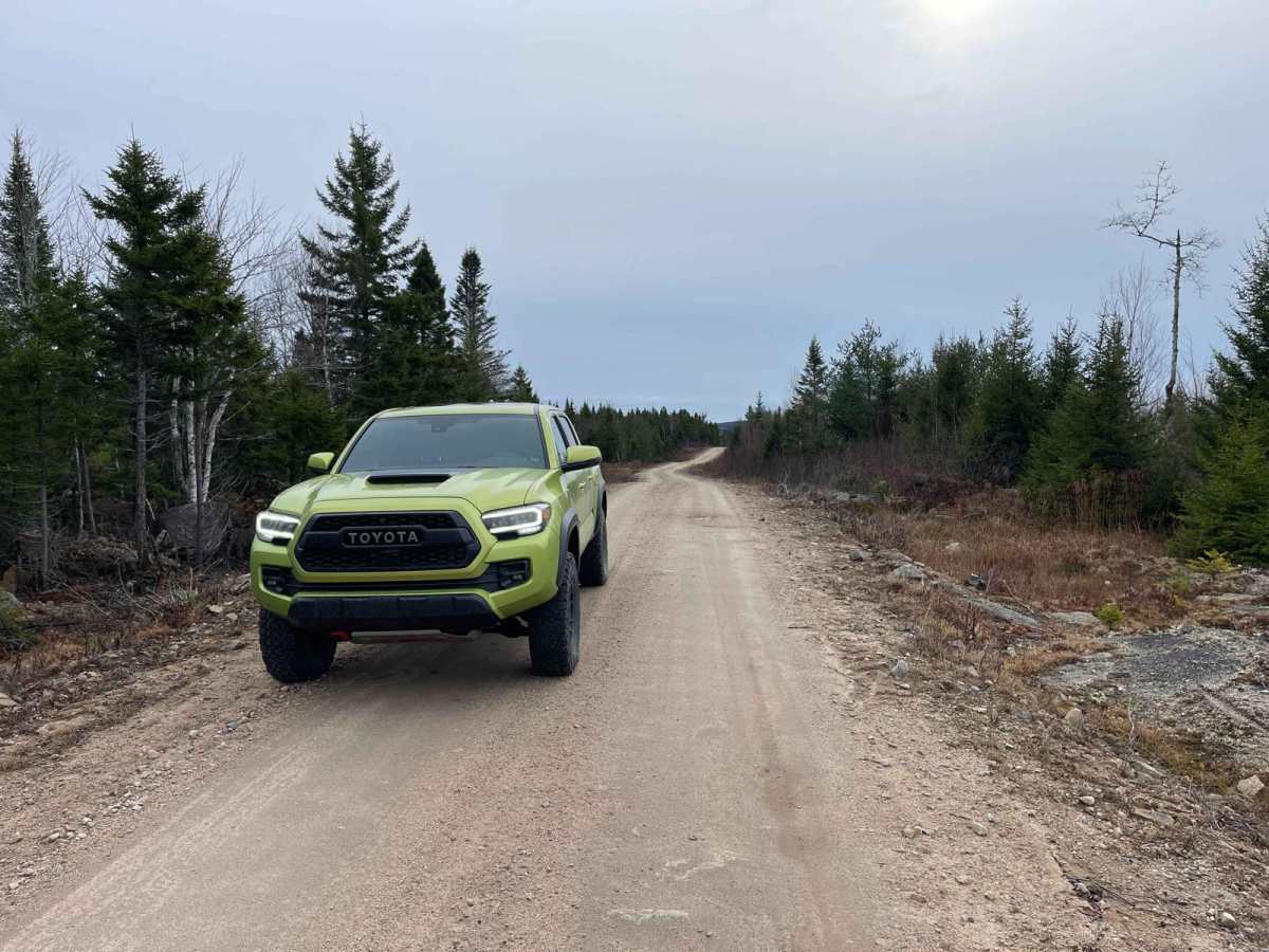
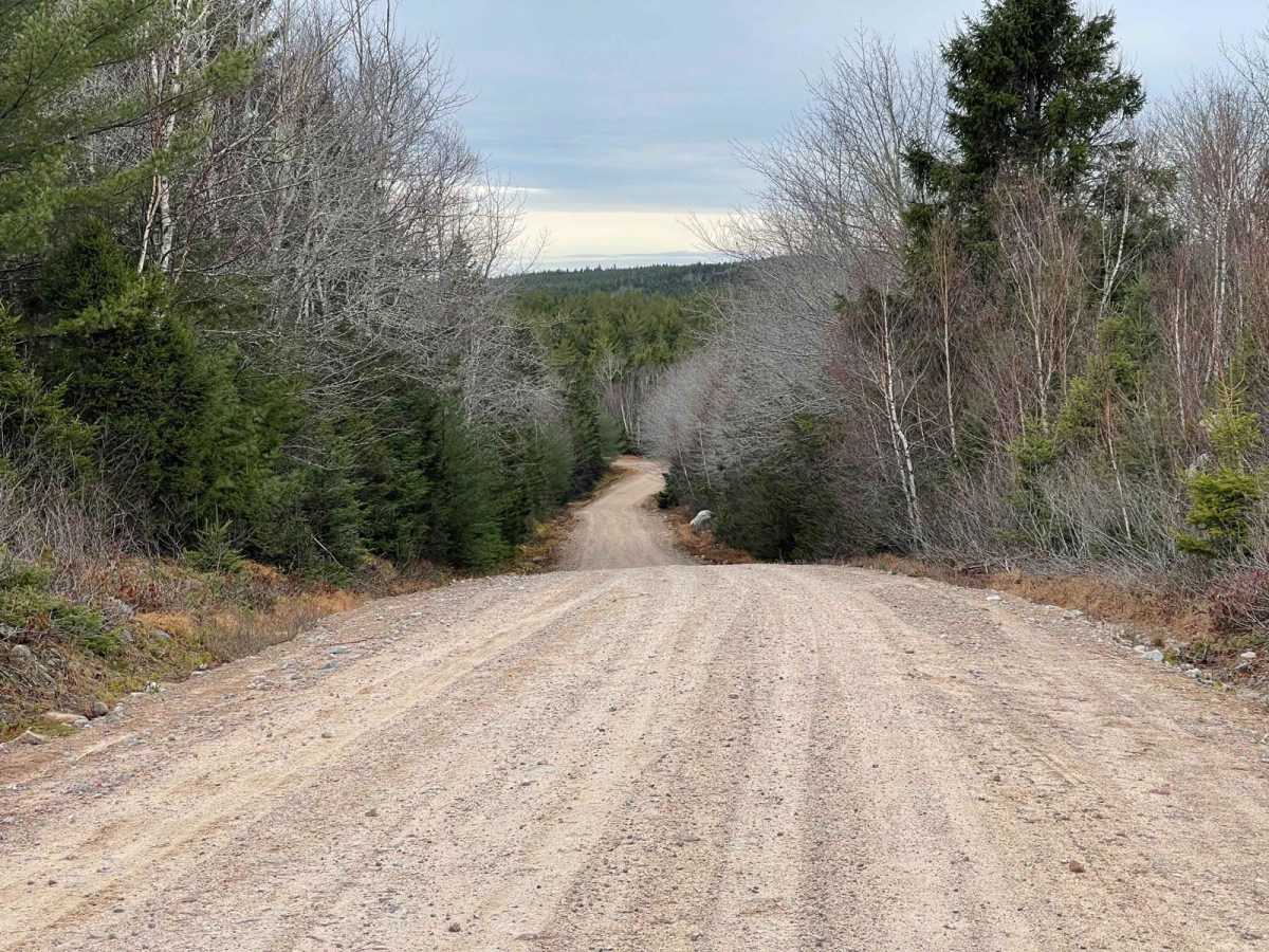
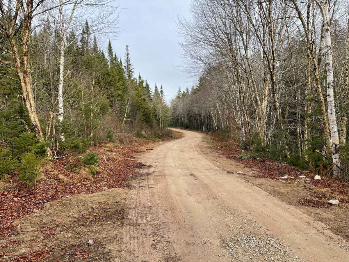
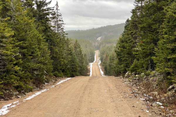
Ingramport Road is a maintained, hard-packed dirt road that is two vehicles wide for most of its length, though it narrows slightly at the north end. Travelers should be cautious of washouts after heavy rains. There is one bridge in slight disrepair, so use caution when crossing. This road serves as a main access route into the former Bowater-Mersey lands, now part of the Western Crown Lands, providing entry to numerous trails, lakes, and camping spots.

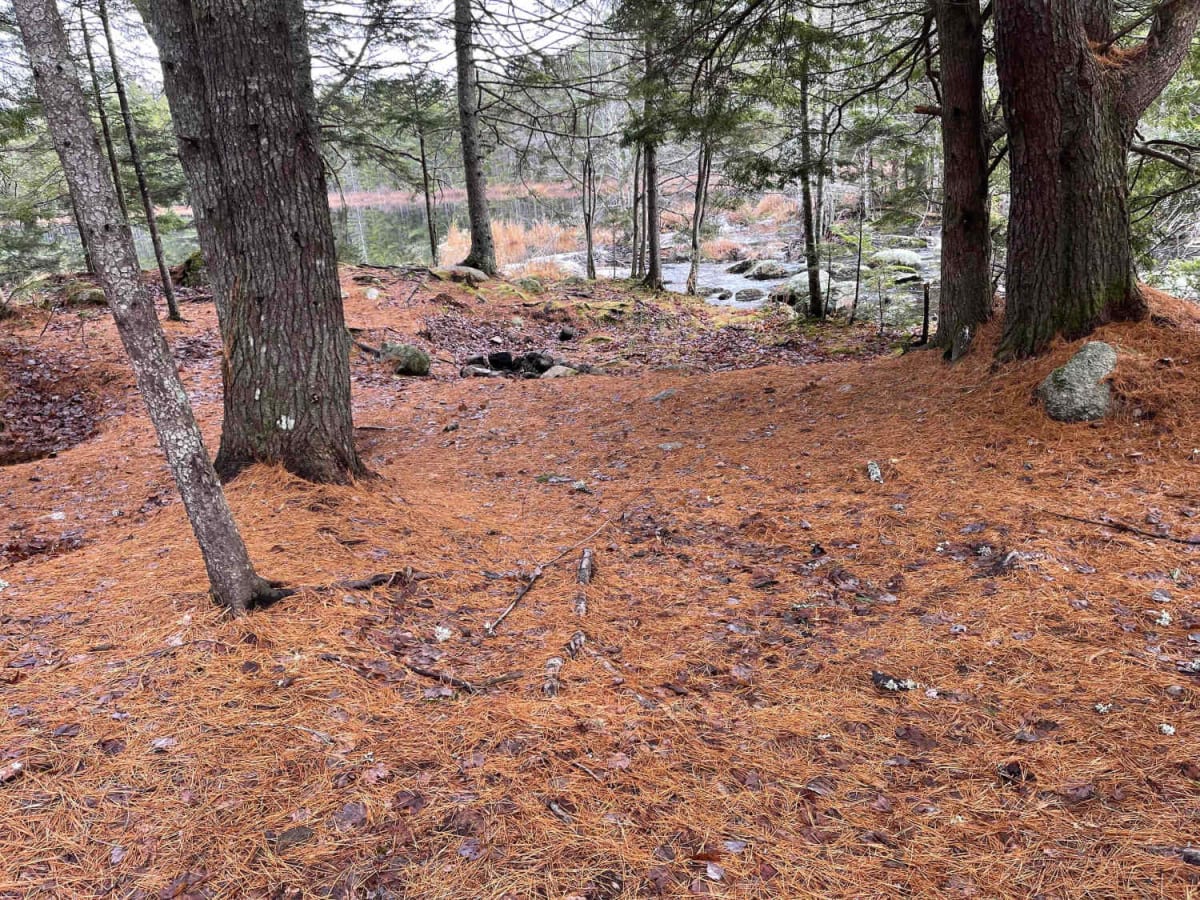
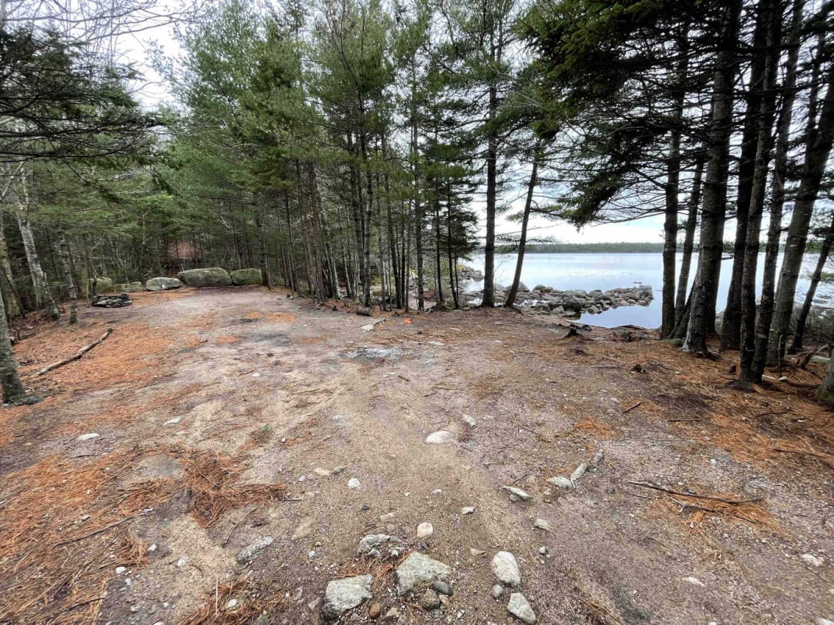
Photos of Ingramport Road

Difficulty

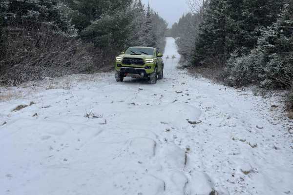
There is nothing difficult about this road. It is passible by all vehicles. Be cautious of washouts after rains and bridge conditions.

Technical Rating

1

Status Reports

Add Status Report
Steve Mackie
May 11, 2025
2022 Toyota Tacoma
Open
Normal

Ingramport Road Trail can be accessed by the following ride types:

  • Single Track
  • 50 Inch
  • 60 Inch
  • High Clearance
  • Full Width

Ingramport Road Map

The onX Offroad Difference

onX Offroad combines trail photos, descriptions, difficulty ratings, width restrictions, seasonality, and more in a user-friendly interface. Available on all devices, with offline access and full compatibility with CarPlay and Android Auto. Discover what you're missing today!

Open Trail Map