Two Mile Lake Road

Total Miles6.1
Technical Rating
2Easy
Best TimeSpring, Summer, Fall
Trail TypeFull-Width Road
Accessible By
Open Trail Map

Trail Overview

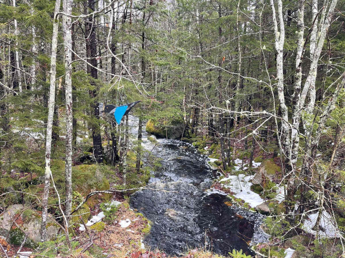
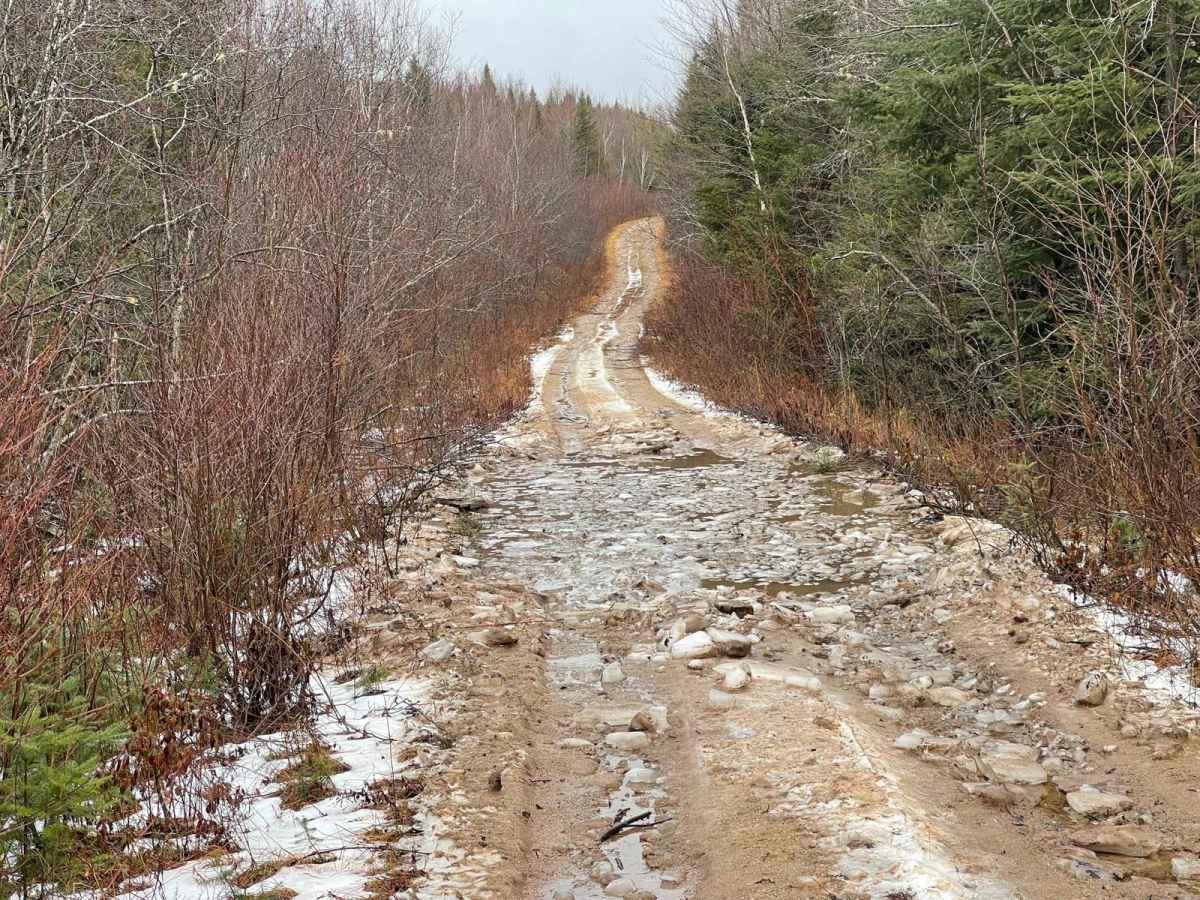
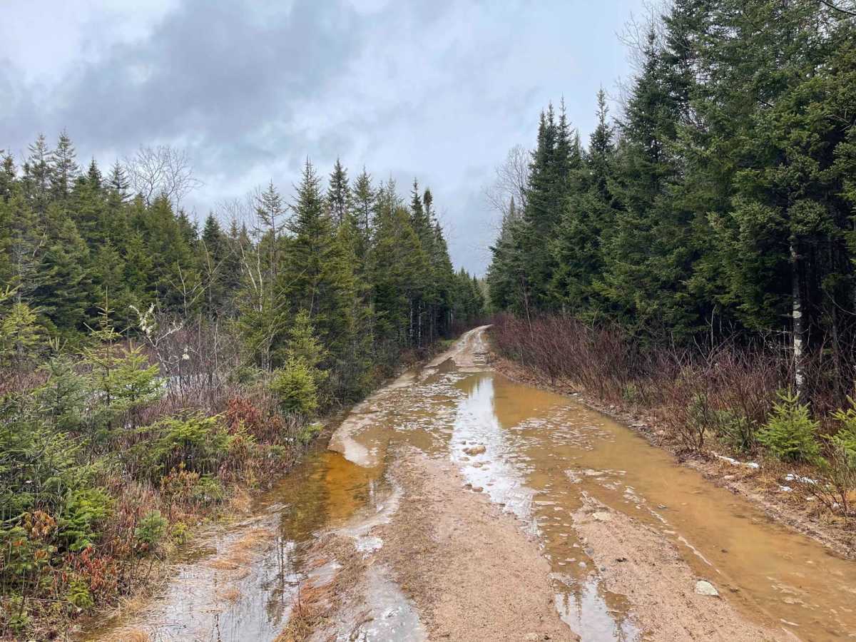
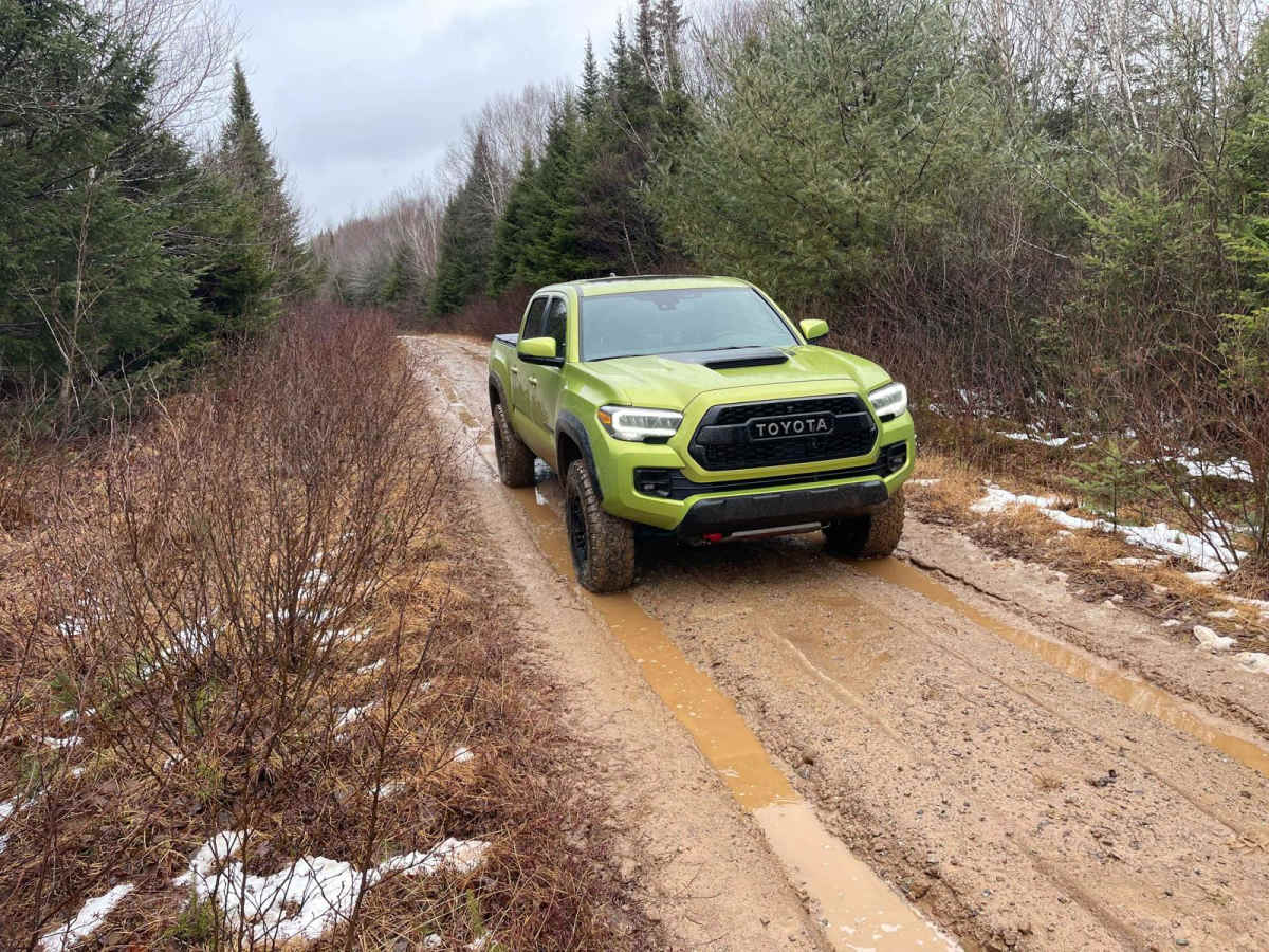
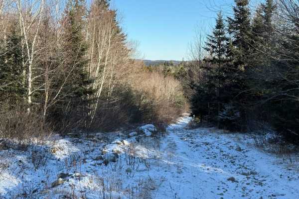
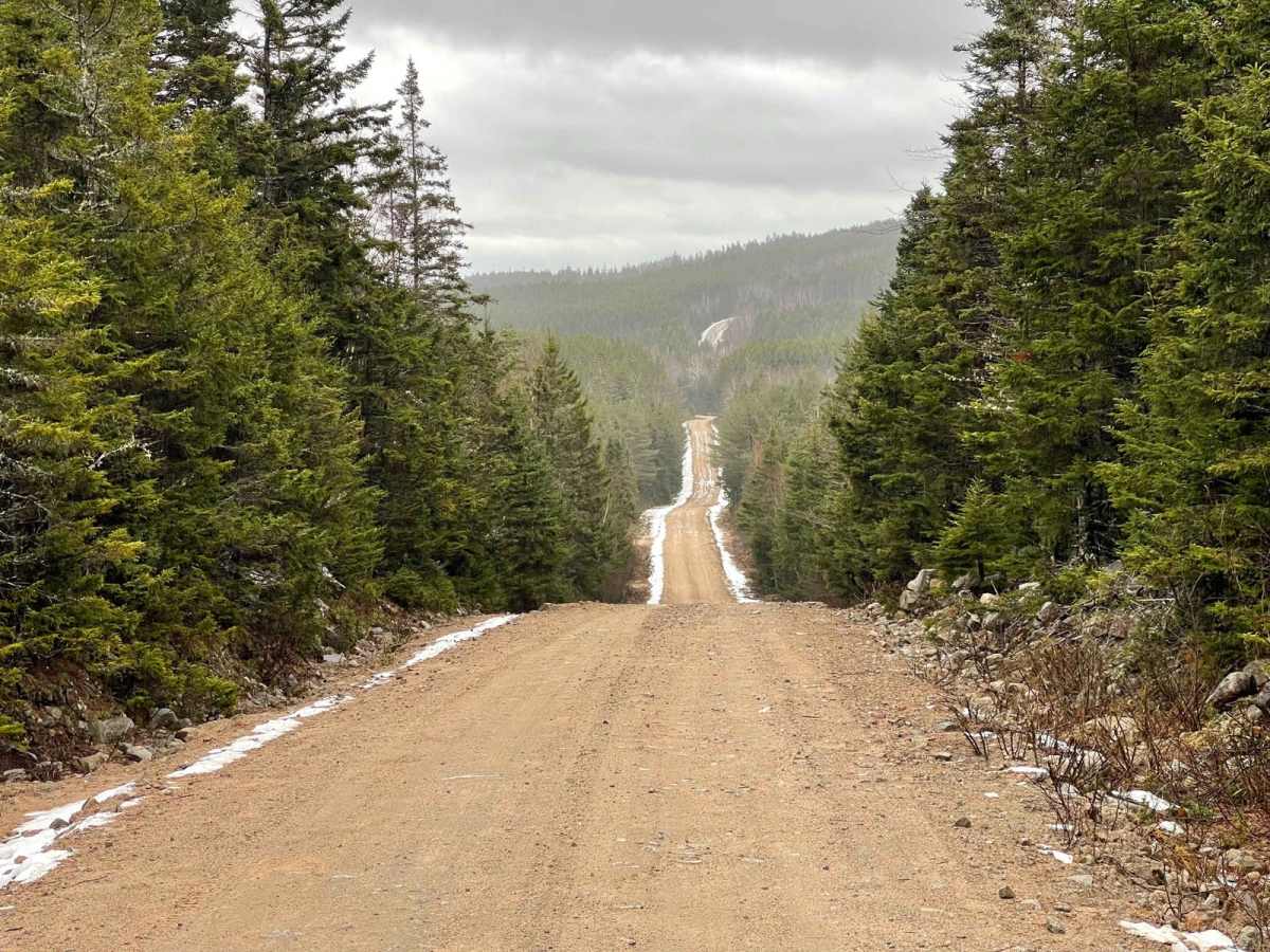
Two Mile Lake Road runs north-south in the Bowater Mersey trail system, starting from the southern end of Ingramport Road and ending at Two Mile Lake. The trail begins as a wide, well-maintained gravel road with a new bridge over the Ingram River. After the bridge, the next 3 km is an active logging road, so be cautious of machinery. This section can be muddy and slick. The final northern section after the logging area narrows and is rutted, with a few deep puddles to watch out for. The road ends at the power lines by Two Mile Lake. Along this road, you can access a multitude of other trails, campsites, and lakes.

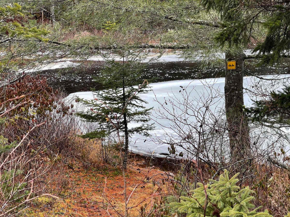
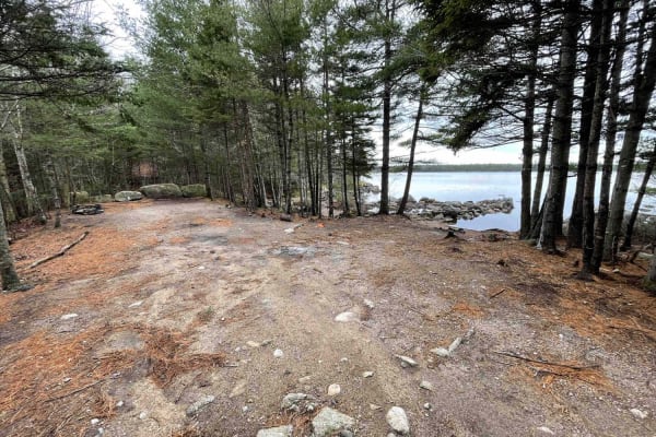
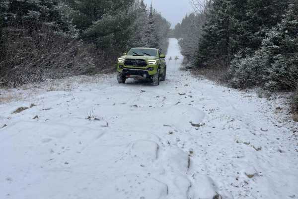
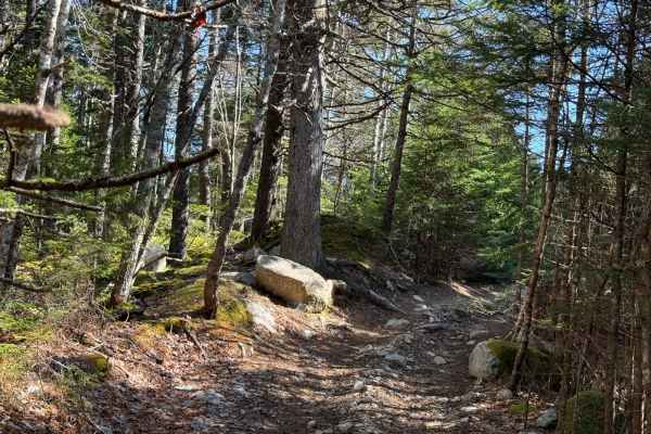
Photos of Two Mile Lake Road

Difficulty

The trail can be rutted and muddy at times with a few large puddles.

Technical Rating

2

Status Reports

Add Status Report
Scott Nelson
May 08, 2026
2021 Jeep Rubicon
Open
NormalMuddy/Wet
Trail is in good shape

Two Mile Lake Road Trail can be accessed by the following ride types:

  • Single Track
  • 50 Inch
  • 60 Inch
  • High Clearance
  • Full Width

Two Mile Lake Road Map

The onX Offroad Difference

onX Offroad combines trail photos, descriptions, difficulty ratings, width restrictions, seasonality, and more in a user-friendly interface. Available on all devices, with offline access and full compatibility with CarPlay and Android Auto. Discover what you're missing today!

Open Trail Map