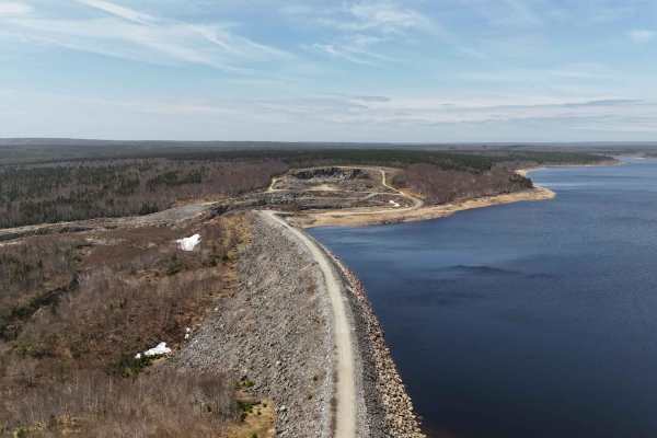
Marianna Road

Total Miles9
Technical Rating
4Moderate
Best TimeSummer, Fall, Spring
Trail TypeFull-Width Road
Accessible By
Open Trail Map

Trail Overview

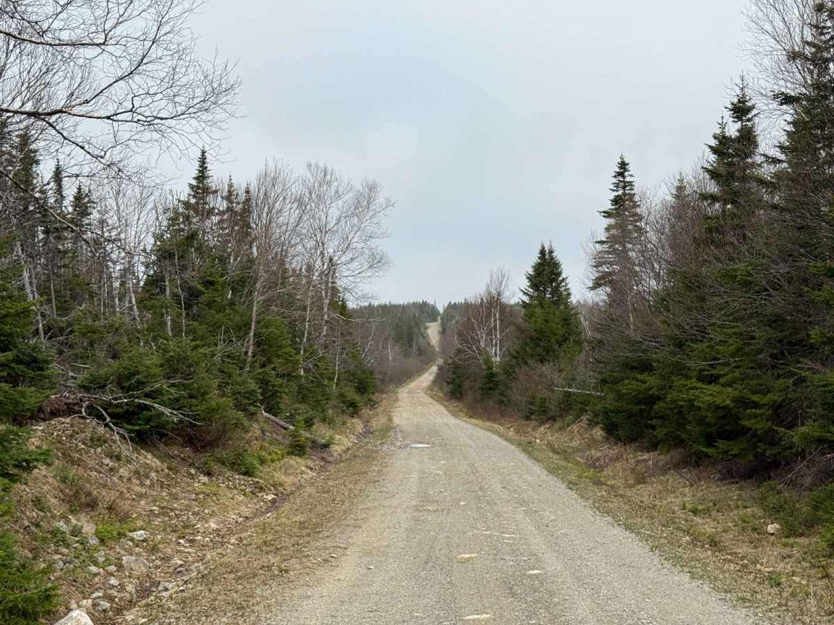
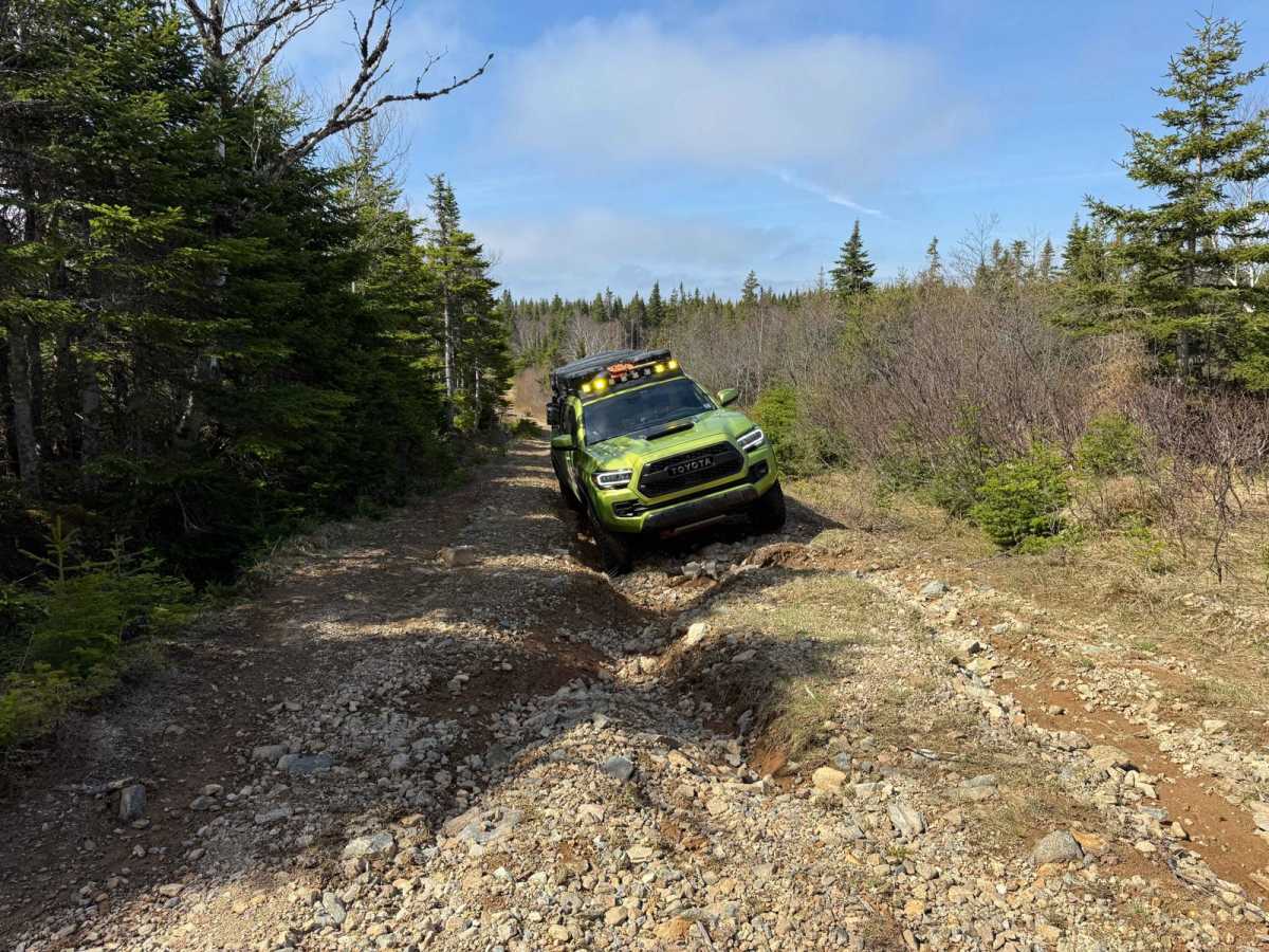
The north-south route from the T-intersection of Oregon Trail, Timber Lake West Road, and Marianna Road extends to Doyle Road. The southern 9 km to Kelly Road is a broad, smooth gravel road with some potholes. North of Kelly Road, the trail narrows and deteriorates. A heavily washed-out section is located 2 km from the northern end, requiring a high-clearance 4x4 vehicle. A spotter is recommended for navigating this area.

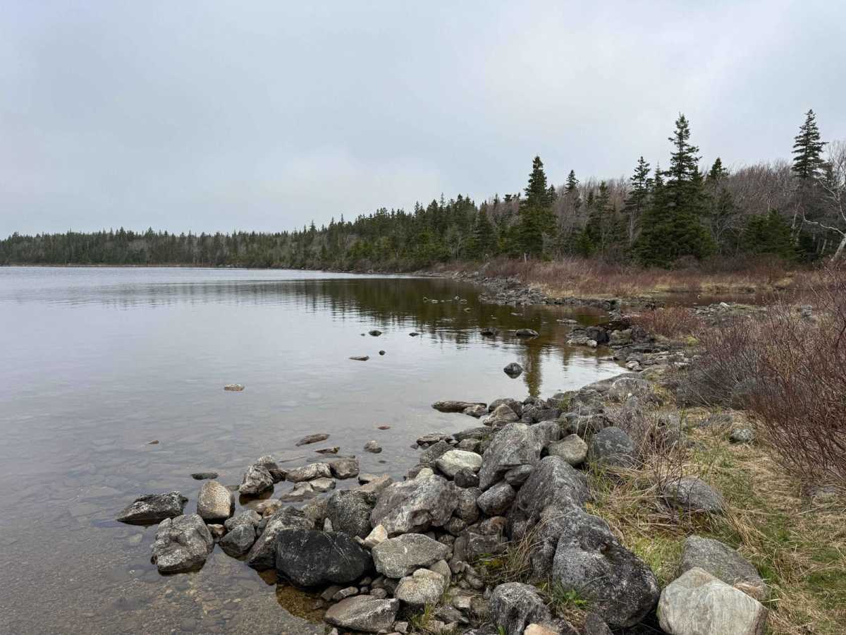
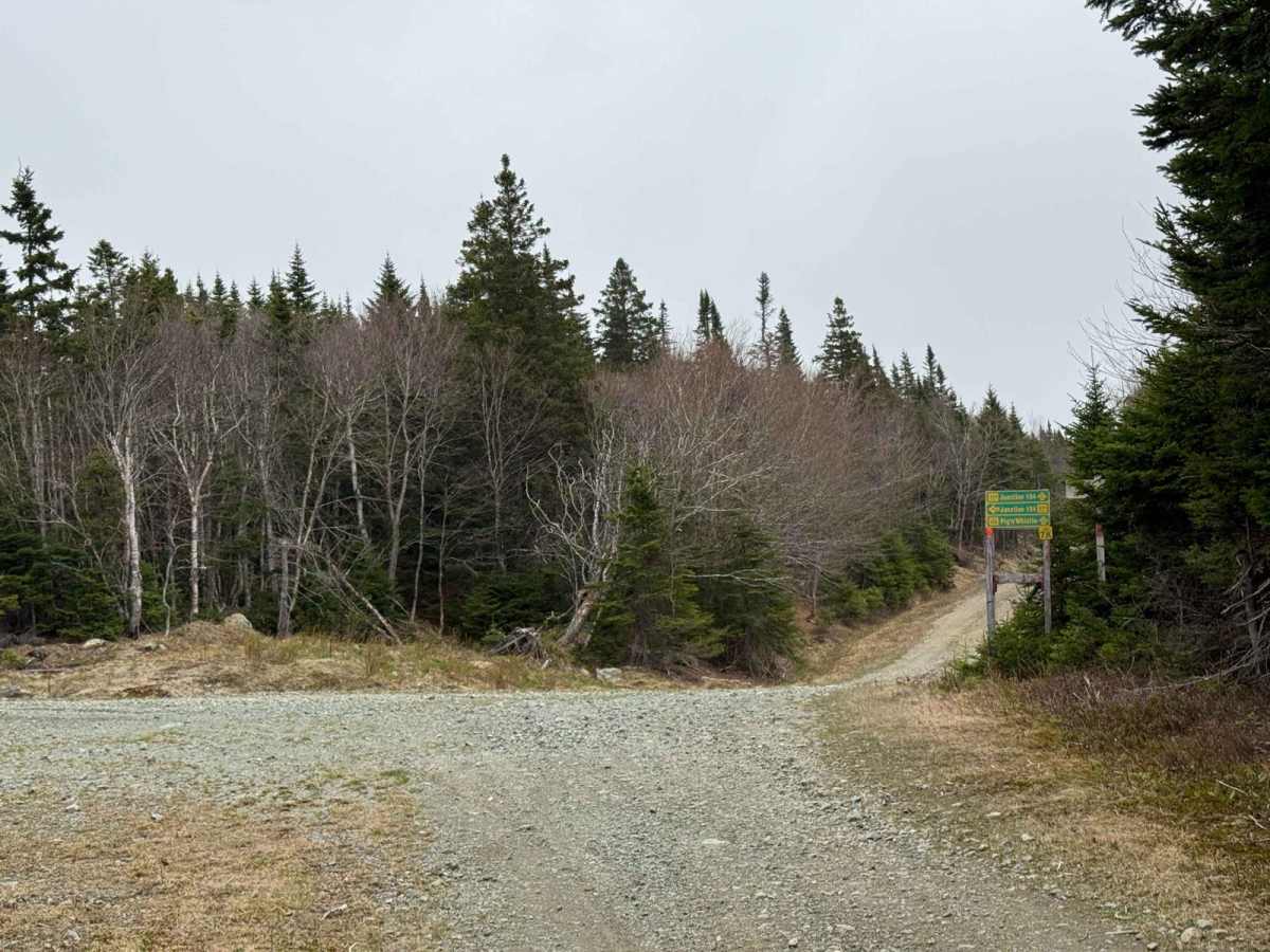
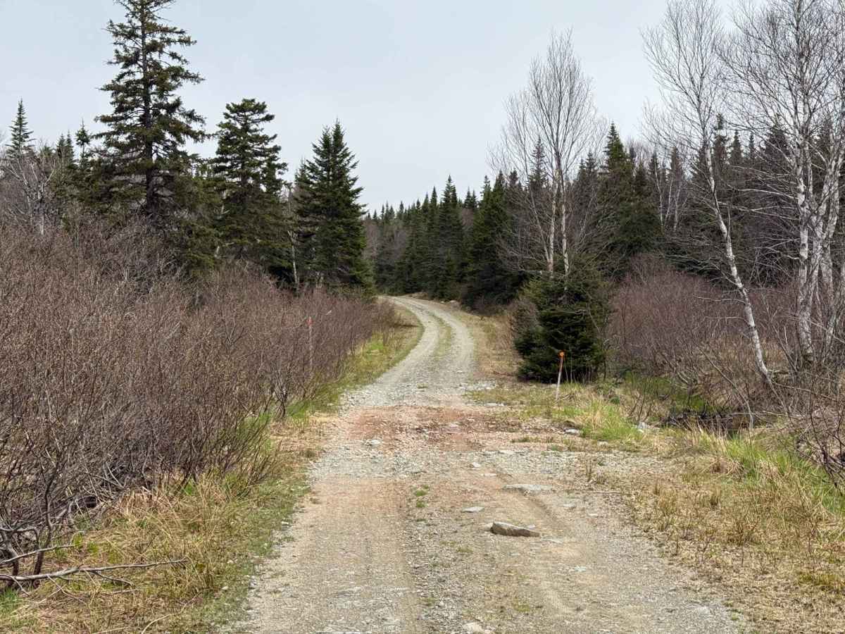
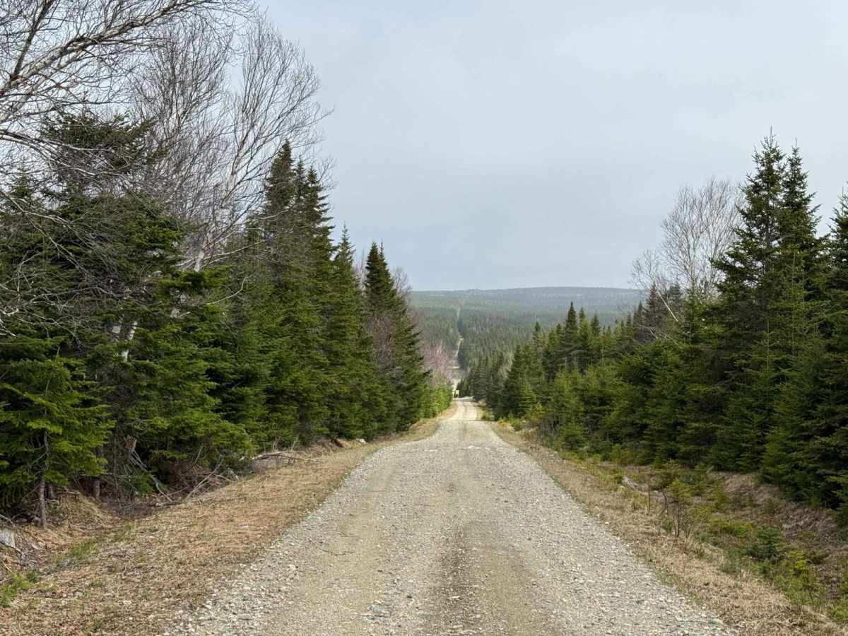
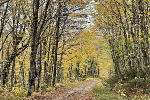
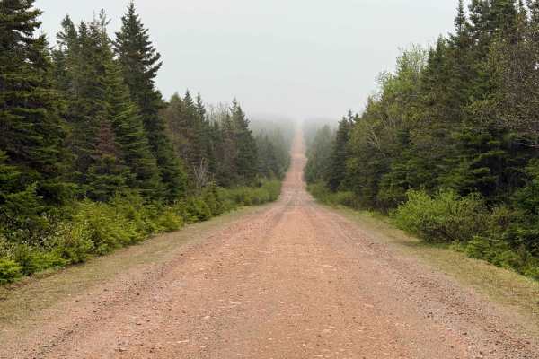
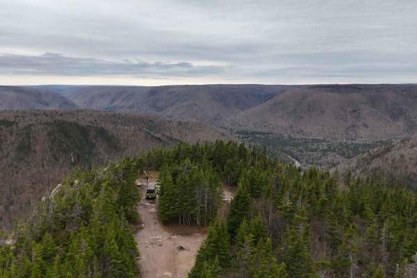
Photos of Marianna Road

Difficulty

The trail is primarily rated difficult due to a heavily washed-out section located 2 km from the northern end. This area requires a high-clearance 4x4 vehicle to navigate and is best approached with the assistance of a spotter.

History

Marianna Road is a former logging road, originally used to access timber harvesting areas in the Cape Breton region. Over time, as logging operations shifted or ceased, the road transitioned into a recreational trail. Its rugged terrain and remote setting now make it popular among off-roaders and outdoor enthusiasts.

Technical Rating

4

Marianna Road Trail can be accessed by the following ride types:

  • Single Track
  • 50 Inch
  • 60 Inch
  • High Clearance
  • Full Width

Marianna Road Map

The onX Offroad Difference

onX Offroad combines trail photos, descriptions, difficulty ratings, width restrictions, seasonality, and more in a user-friendly interface. Available on all devices, with offline access and full compatibility with CarPlay and Android Auto. Discover what you're missing today!

Open Trail Map