Trail Overview
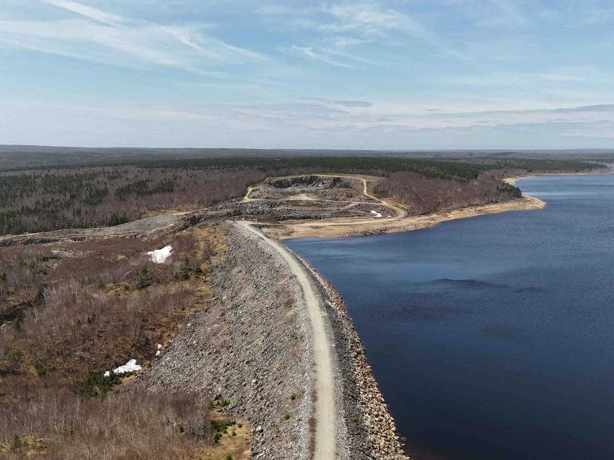
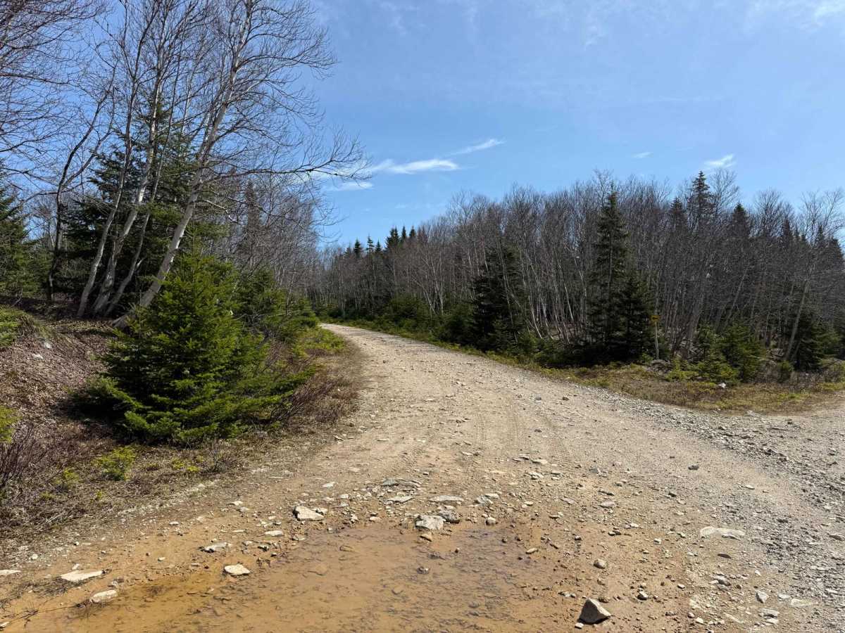
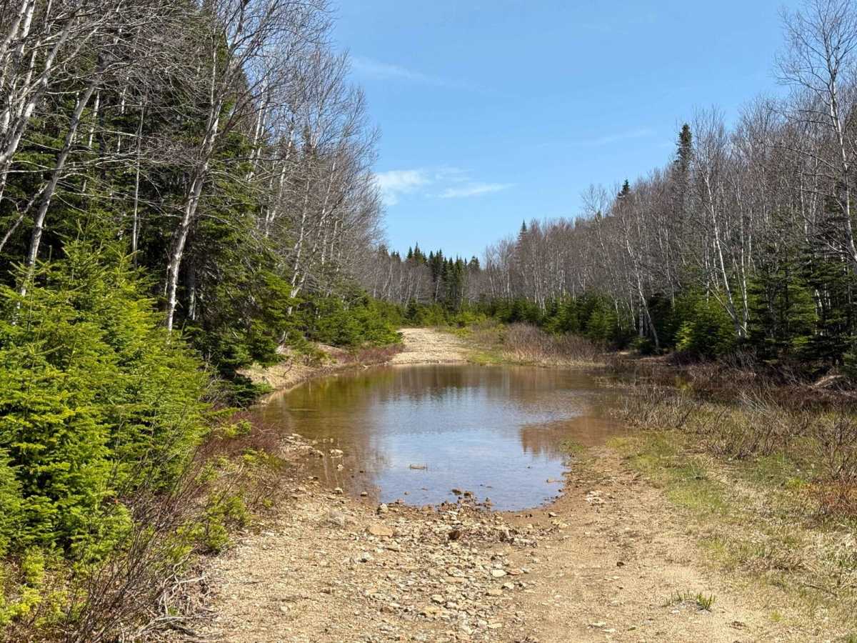
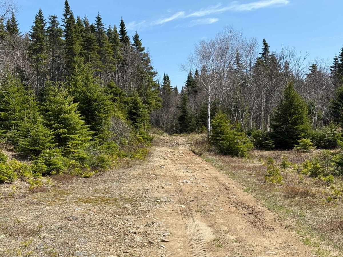
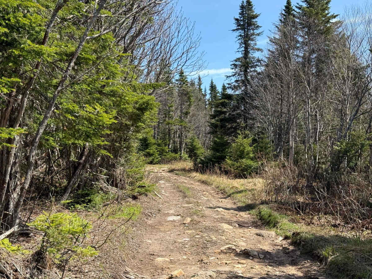
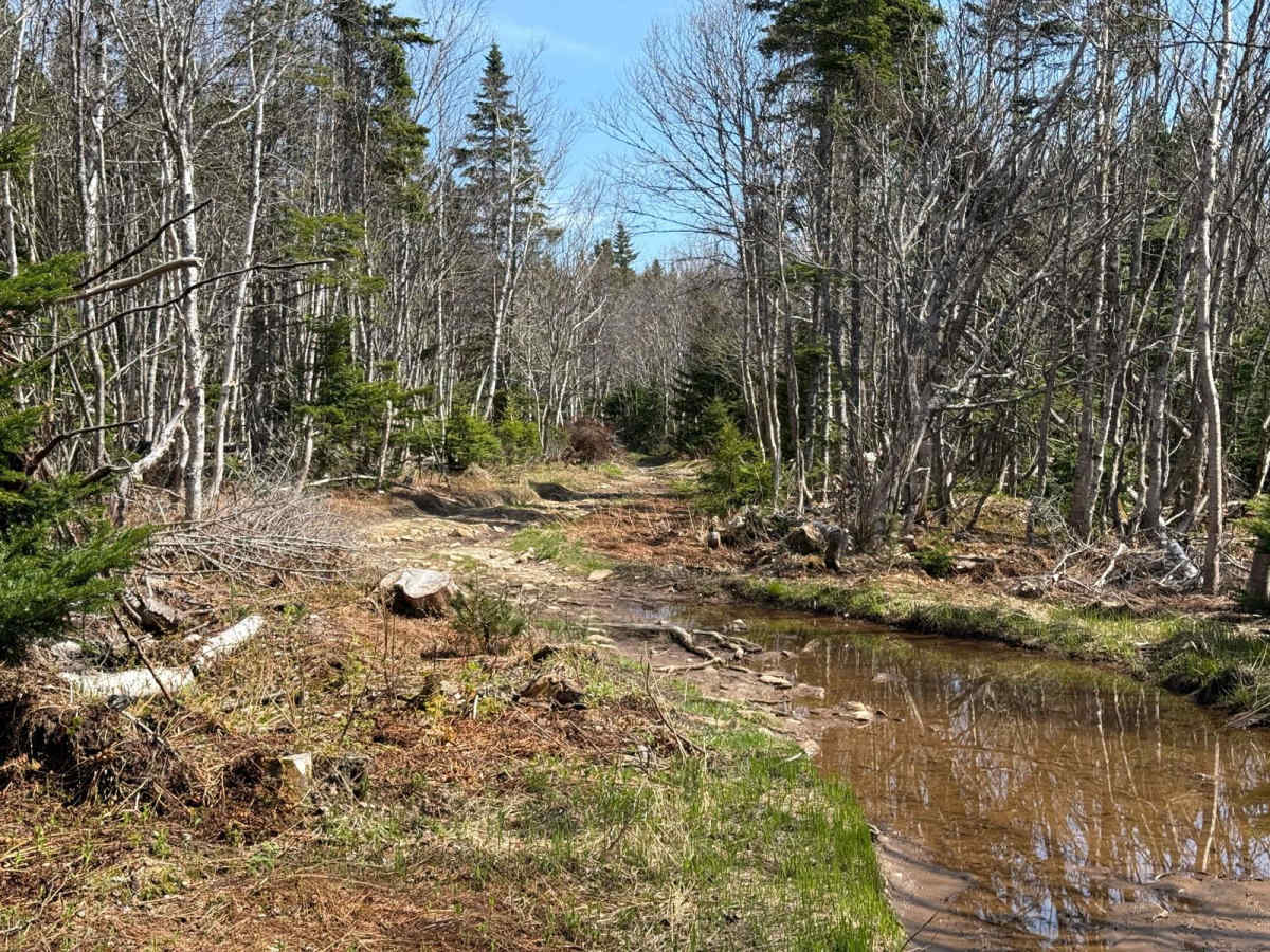
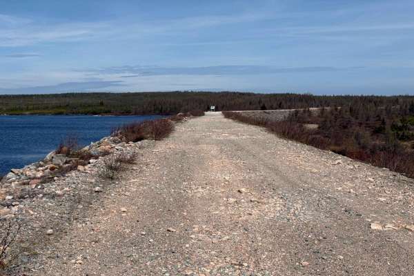
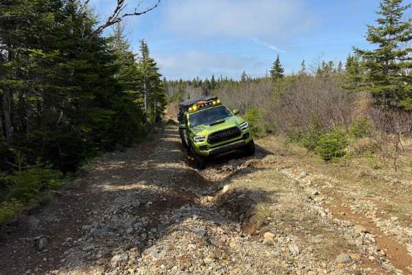
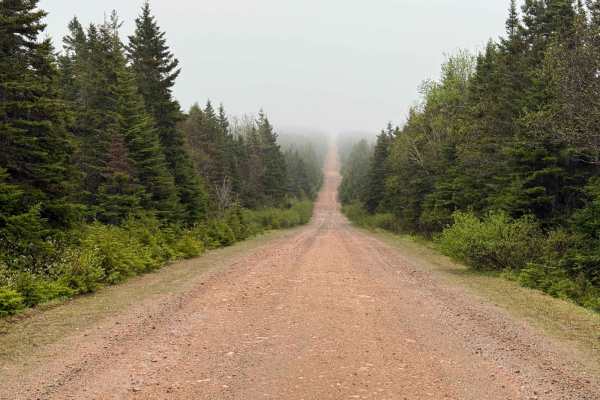
The McMillan Flowage Trail offers a diverse mix of terrain and scenery. The southern 2 km consists of a hard-packed old logging dirt road with a few large flooded sections. Following this is a 0.5 km stretch of rough trail through the woods, featuring exposed roots, flooded sections, exposed rocks, and a narrow path that's still wide enough for full-size vehicles with minimal pin striping. The northern 5 km, known as McMillan Dam Road, is a gravel access road that crosses over the McMillan Dam, providing amazing views of the flowage and surrounding landscape.
Difficulty
Flooded sections of the trail require careful navigation, while the wooded section includes exposed roots, rocks, and mud.
History
The McMillan Flowage is part of Cape Breton's expansive hydroelectric infrastructure. It was developed during the mid-20th century as a reservoir to support Nova Scotia's growing energy demands. The dam and flowage system were constructed to control water levels and provide a steady flow for hydroelectric power generation, contributing to the province's renewable energy efforts. The road over the dam offers unique access to this engineering landmark, allowing travellers to appreciate the scale and importance of the project while enjoying stunning views of the surrounding landscape. Today, the McMillan Flowage remains a crucial component of Nova Scotia's hydroelectric network, representing both the region's natural beauty and its industrial ingenuity.