Trail Overview
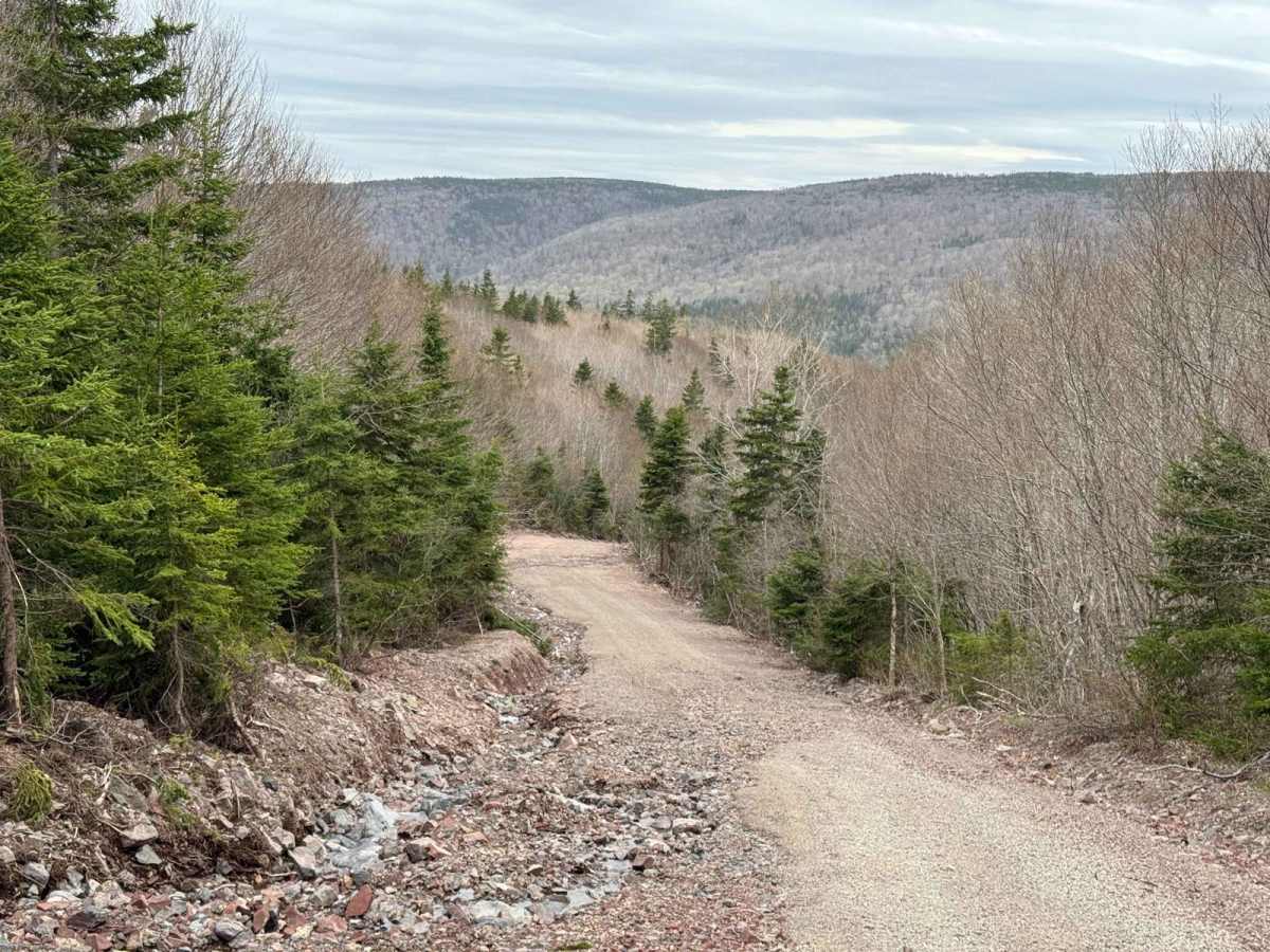
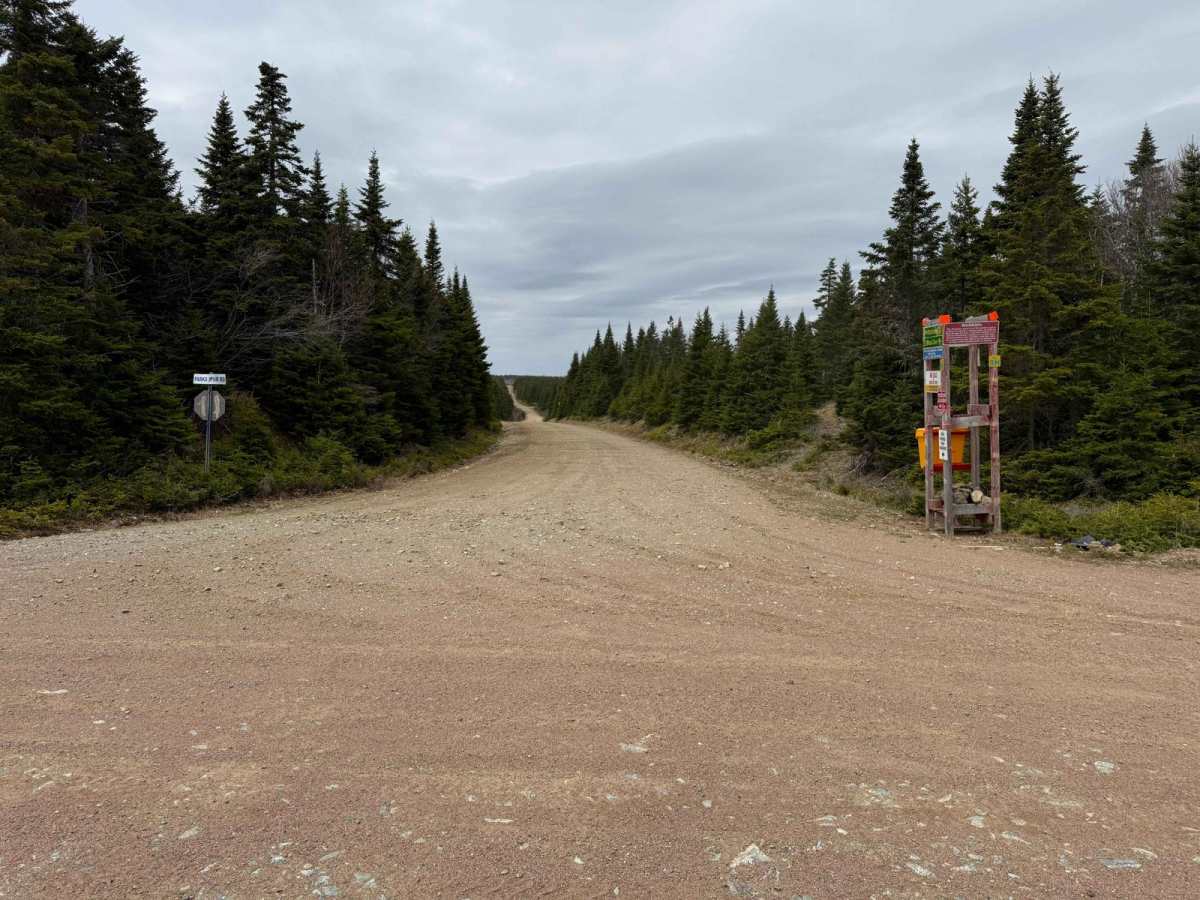
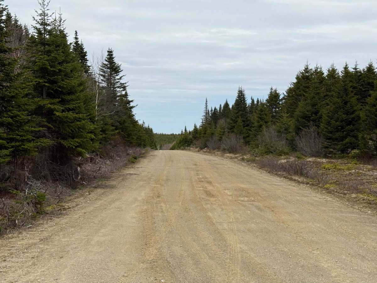
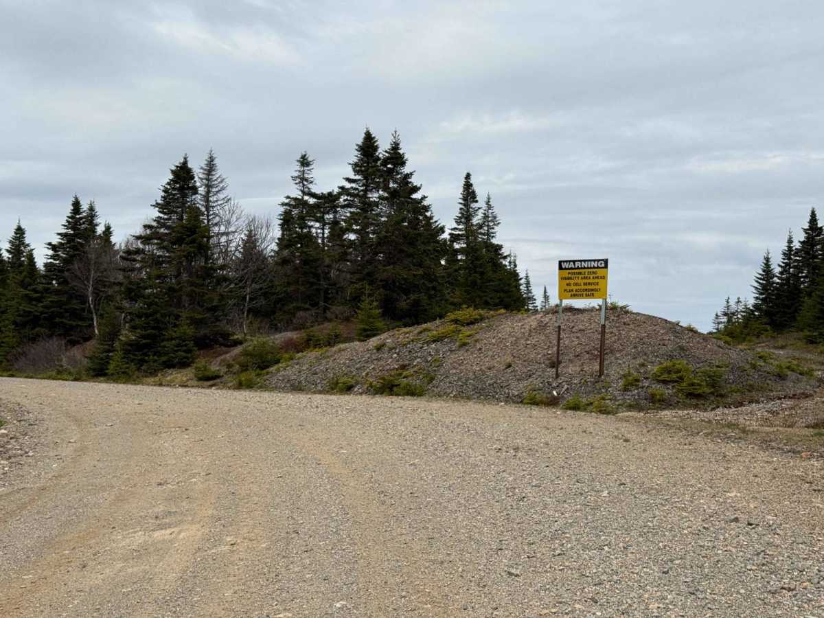
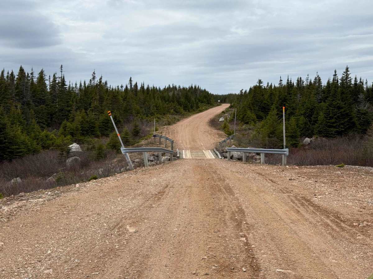
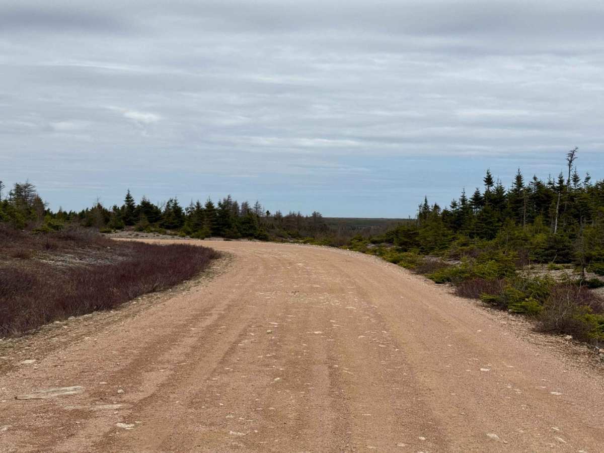
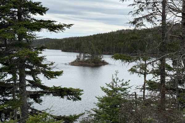
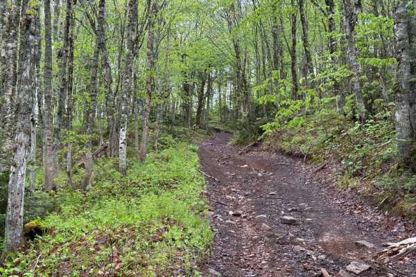
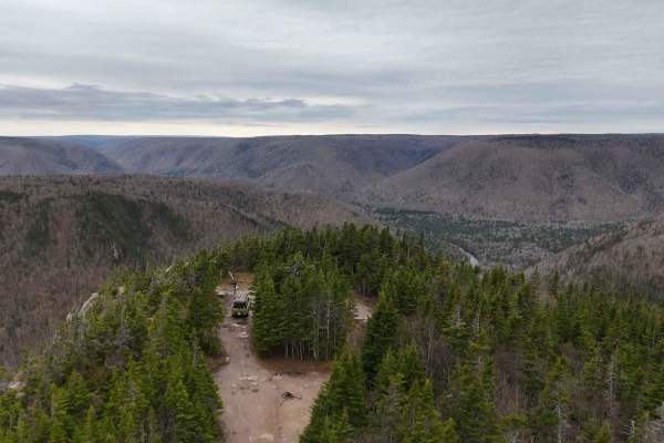
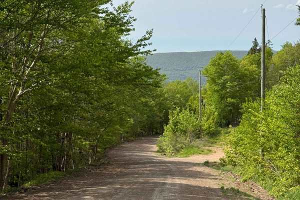
Park Spur Road comprises ATVANS Routes 104 and 105, traversing the highlands near Cape Breton Highlands National Park. This route offers a remote and scenic experience, with wide dirt roads that may have potholes and occasional washouts. Riders should be prepared for variable conditions and remain vigilant for wildlife, including moose. Snow can persist into June, so appropriate preparation is essential.
Difficulty
The trail is generally easy to navigate, with no significant challenges. However, drivers should be mindful of potholes and occasional washouts along the route.
History
Park Spur Road, originally established as a logging road, runs through the central Cape Breton Highlands. This area was shaped by the Acadian orogeny during the Late Devonian period, approximately 374 million years ago. The trail passes through the Park Spur Pluton, part of the Aspy terrane, contributing to the region's rugged and dramatic landscape. These geological and human influences combine to make this trail unique in character and history.