Pembroke Road

Total Miles4.9
Technical Rating
1Easy
Best TimeSpring, Summer, Fall
Trail TypeFull-Width Road
Accessible By
Open Trail Map

Trail Overview

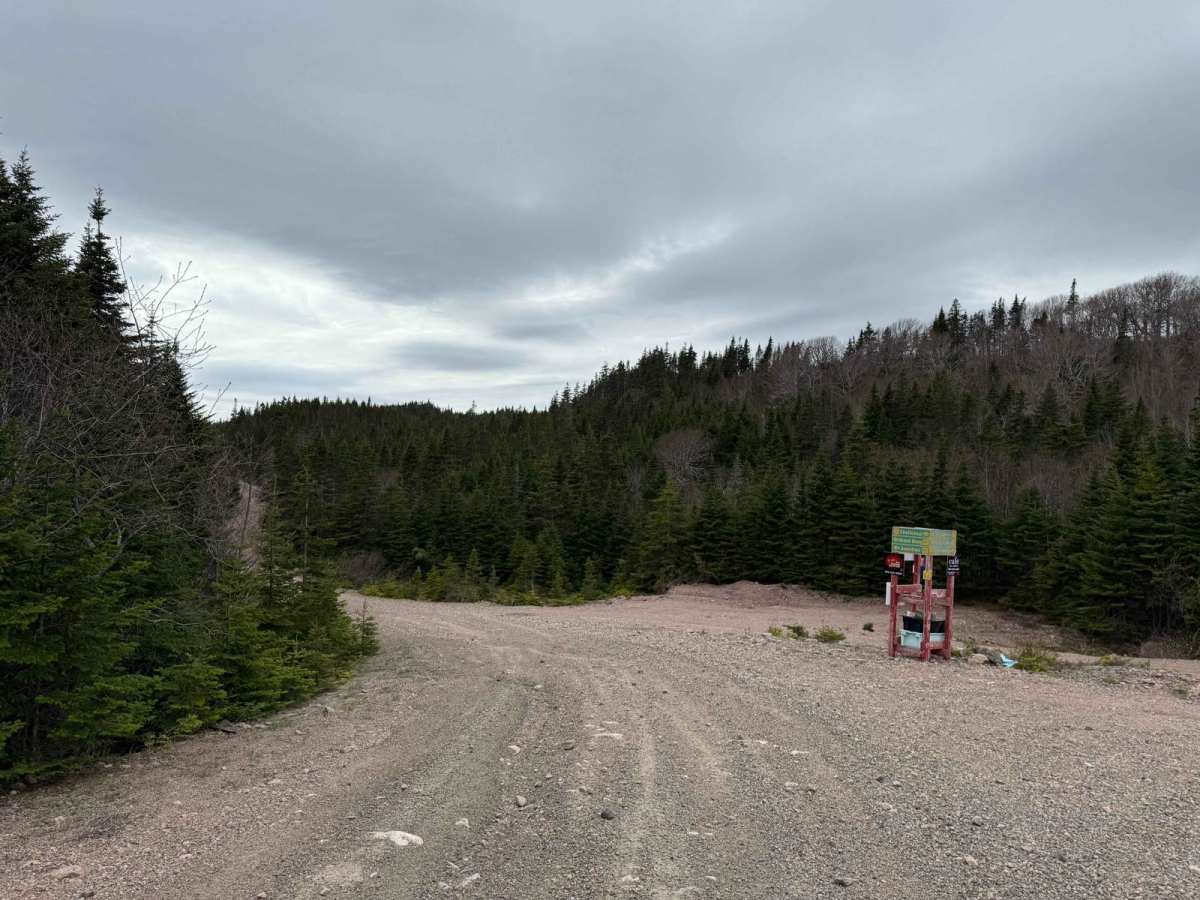
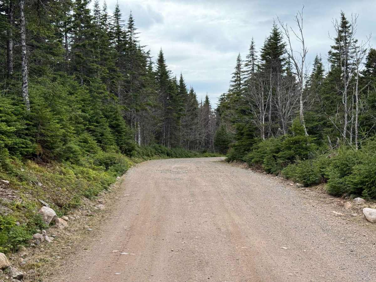
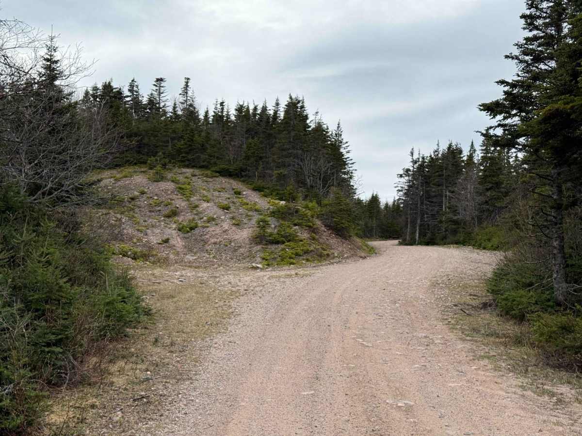
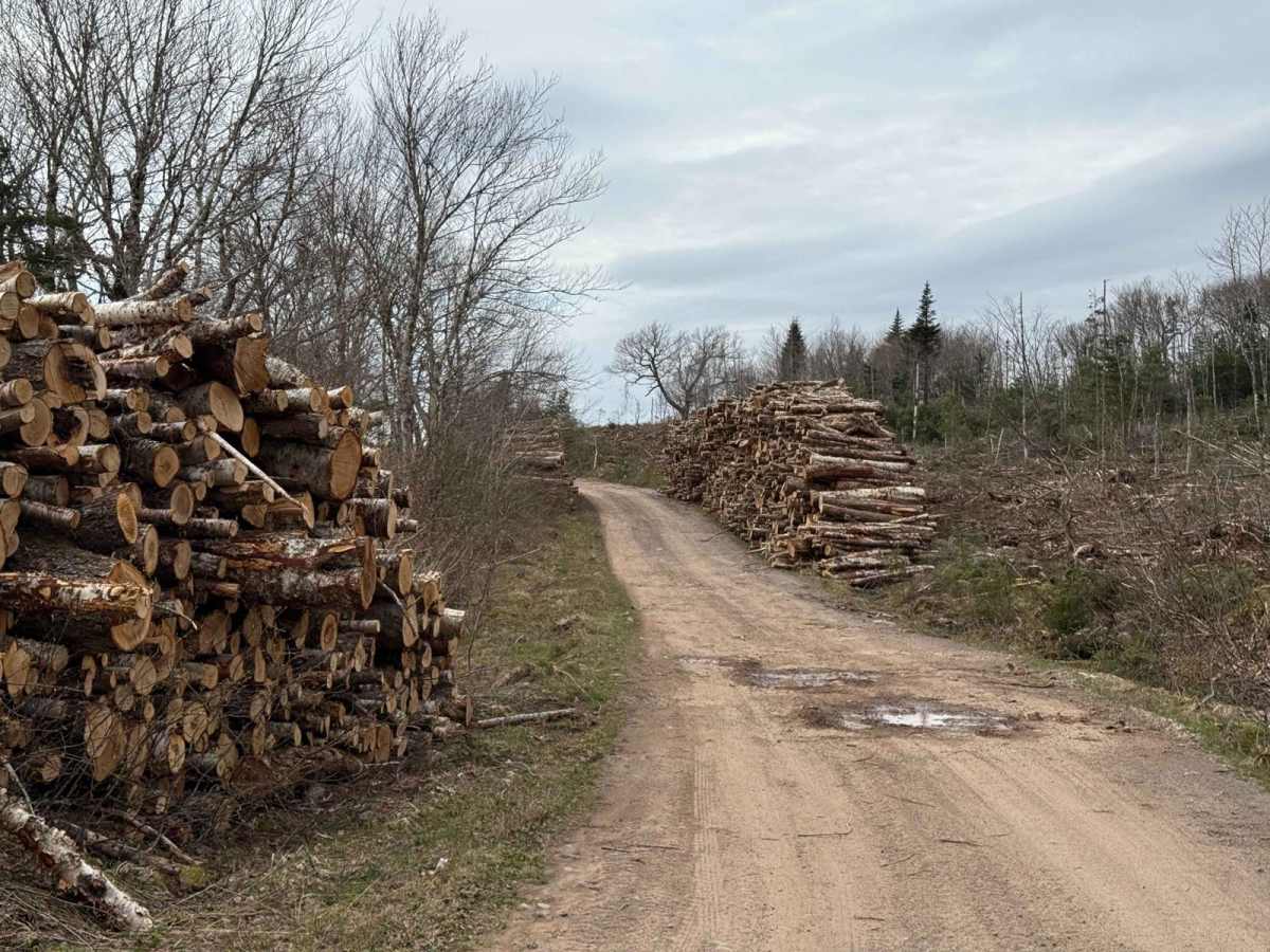
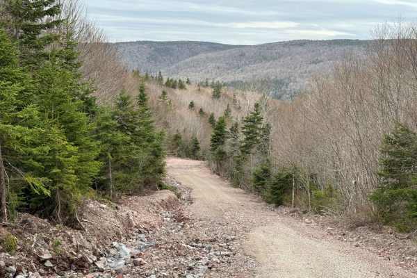
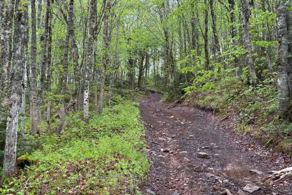
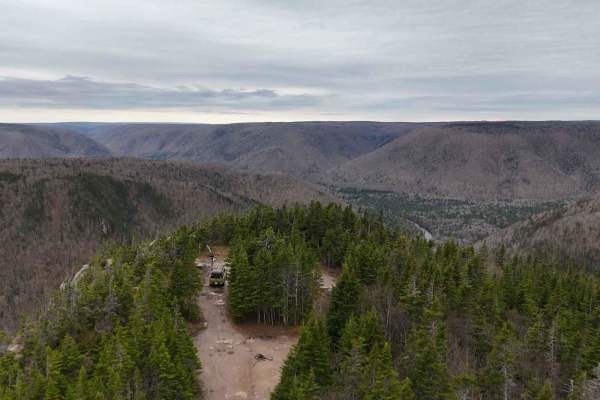
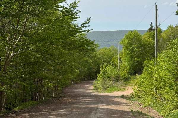
Pembroke Road begins in the east as a residential road, offering excellent access to the trail system from the Cheticamp area. The road transitions to a well-maintained gravel surface from start to finish. Be mindful of active logging operations in the area, and note that road sections can become prone to washouts following heavy rain.

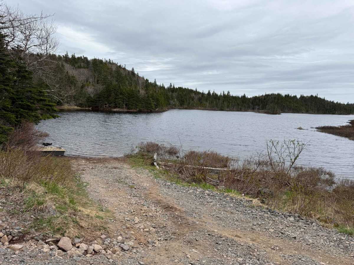
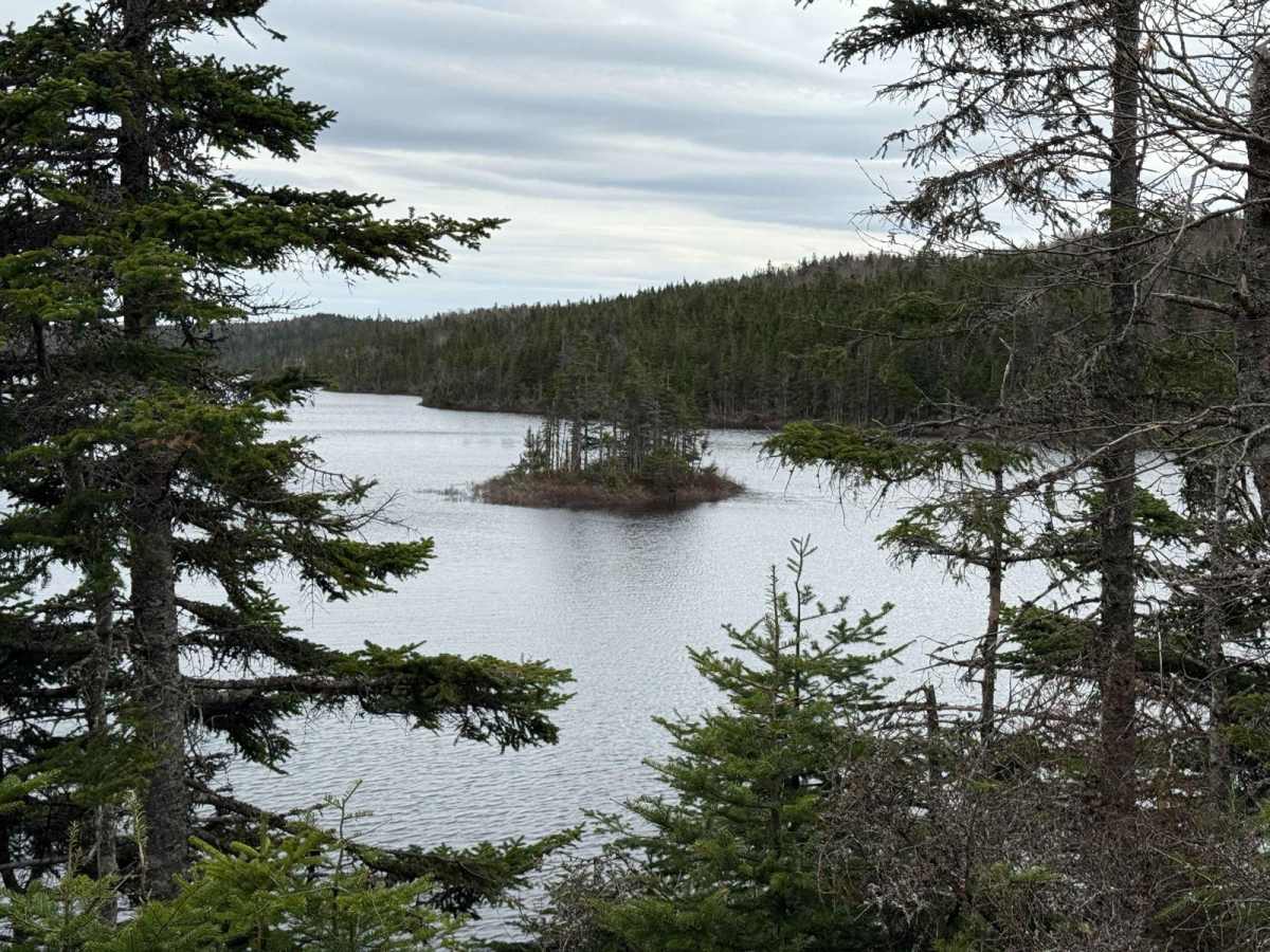
Photos of Pembroke Road

Difficulty

Pembroke Road does not present significant challenges for drivers. However, the road is prone to washouts after heavy rain, which may require caution.

History

Pembroke, Nova Scotia, is believed to have been named after early settlers John and Richard Pembroke, who were granted land in the area. Richard Pembroke and his son John were residents of Margaree, Inverness County, in the mid-19th century. During the 19th century, the region was settled by families of Scottish and Irish descent, many of whom received land grants from the Crown.

Technical Rating

1

Pembroke Road Trail can be accessed by the following ride types:

  • Single Track
  • 50 Inch
  • 60 Inch
  • High Clearance
  • Full Width

Pembroke Road Map

The onX Offroad Difference

onX Offroad combines trail photos, descriptions, difficulty ratings, width restrictions, seasonality, and more in a user-friendly interface. Available on all devices, with offline access and full compatibility with CarPlay and Android Auto. Discover what you're missing today!

Open Trail Map