Trail Overview
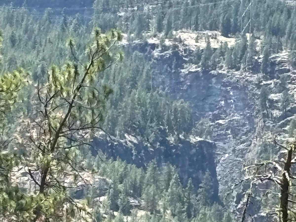
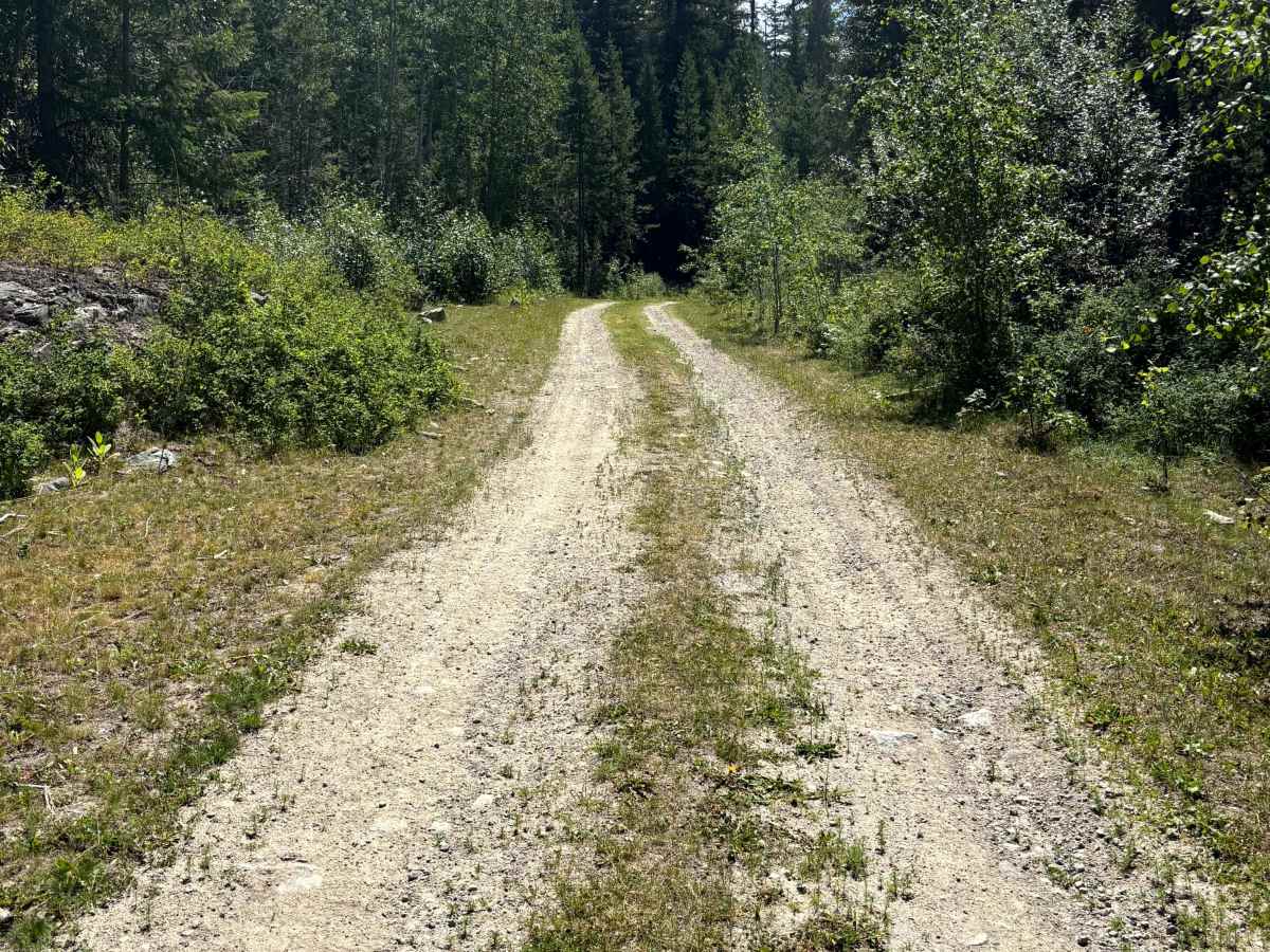
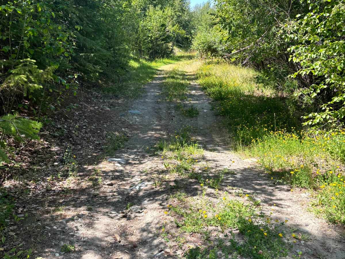
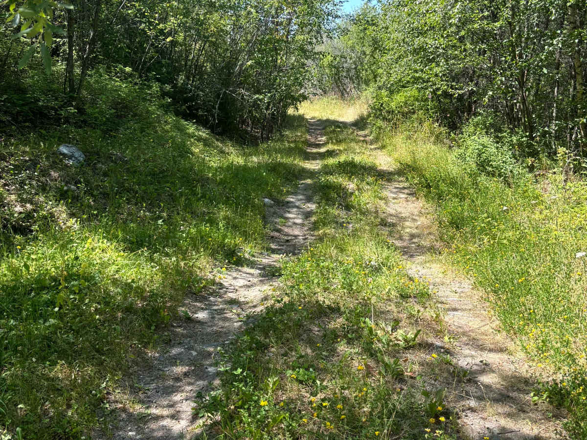
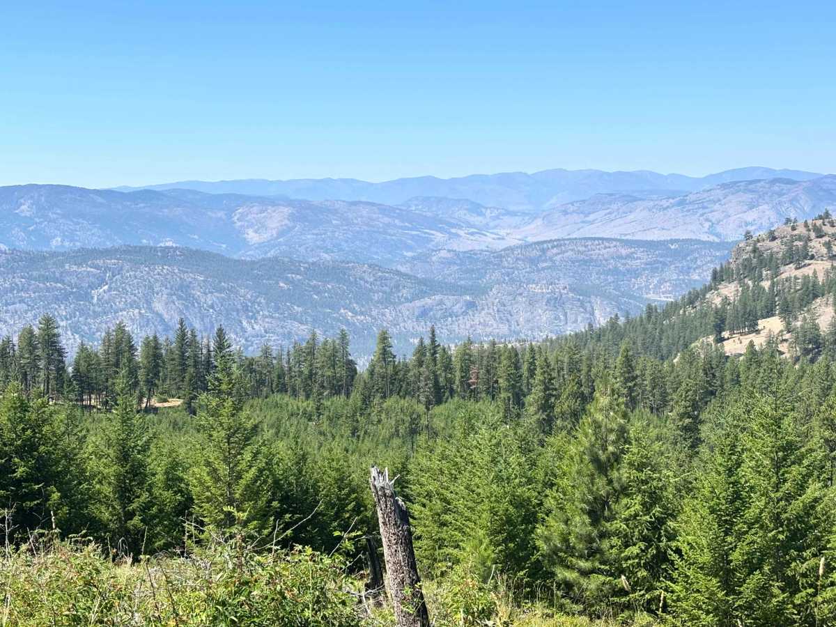
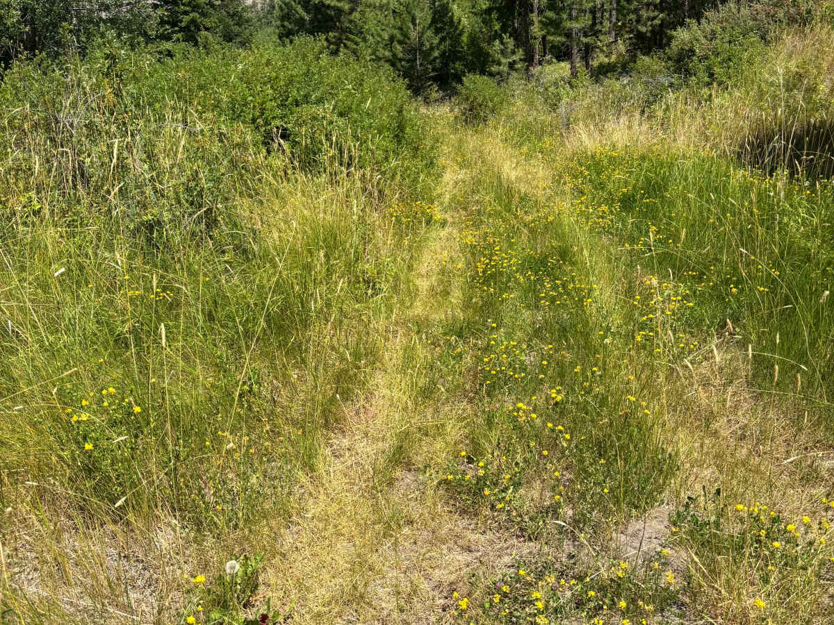
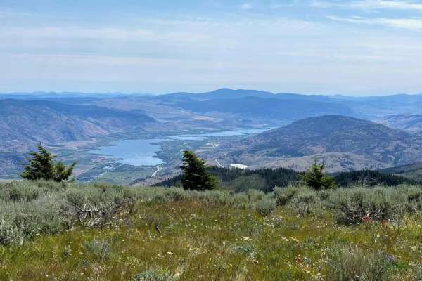
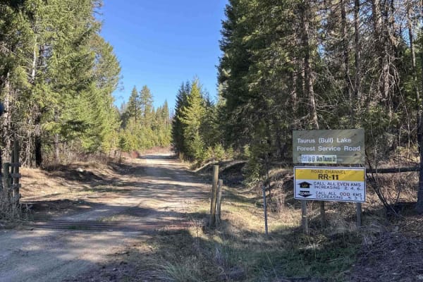
This is an out-and-back route that ends at a private property gate. It is a low-traffic route with a wide variety of terrain and some amazing views along the way, including McIntyre Canyon from the back side. The surface is mostly gravel and dirt, but there are some grassy stretches due to low traffic. It starts in a small creek valley at an elevation of 1,250 meters and gradually works its way down to 710 meters, getting more difficult as it progresses. At the beginning, the route follows a creek and is densely treed on either side. At times it gets tight, and there may be downed trees in this section. Water bars start after 1 kilometer or so. The early ones are small, but they get deeper as the route continues. There are clearings along the trail that have been used for camping. At around 5 kilometers, the views start to change as the creek begins carving a deep canyon with amazing rock faces. The trees slowly start to become less dense, and the views open up. As the route descends into the canyon, views of Okanagan Falls and Peach Cliff appear. The route becomes more technical past this point, with additional grassy segments and tight trees that may scratch vehicle paint. There are several loose, steep, off-camber slopes; switchbacks; and some shelf roads. As the route turns from east to south and enters the Provincial Park lands, views of McIntyre Canyon and McIntyre Bluff appear. The best views end once you reach a cattle guard. This is the recommended turn-around point. Past this point, the trail drops into Vaseux Creek Valley and is steep, loose and rocky, eventually ending at the private property gate.