Mount Kobau

Total Miles22.3
Technical Rating
3Easy
Best TimeSpring, Summer, Fall
Trail TypeFull-Width Road
Accessible By
Open Trail Map

Trail Overview

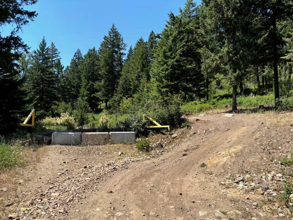
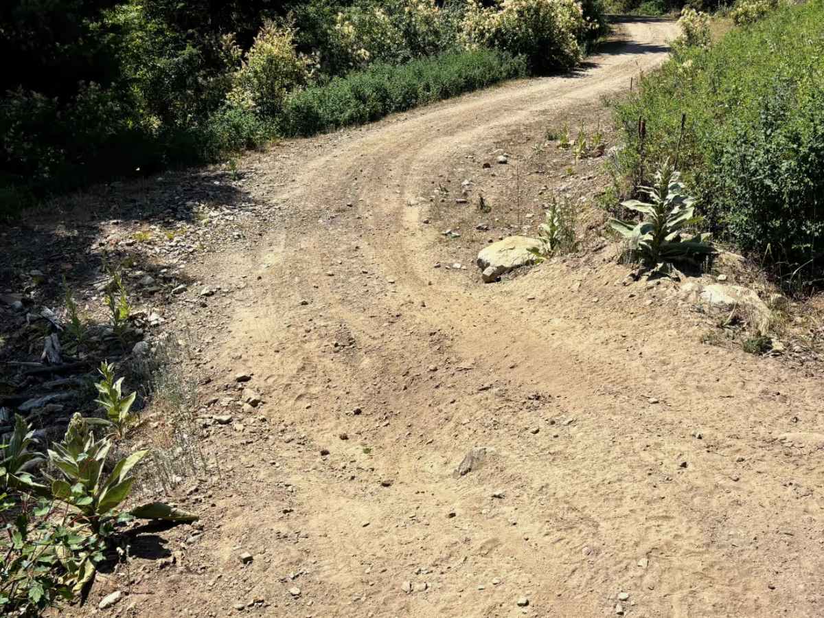
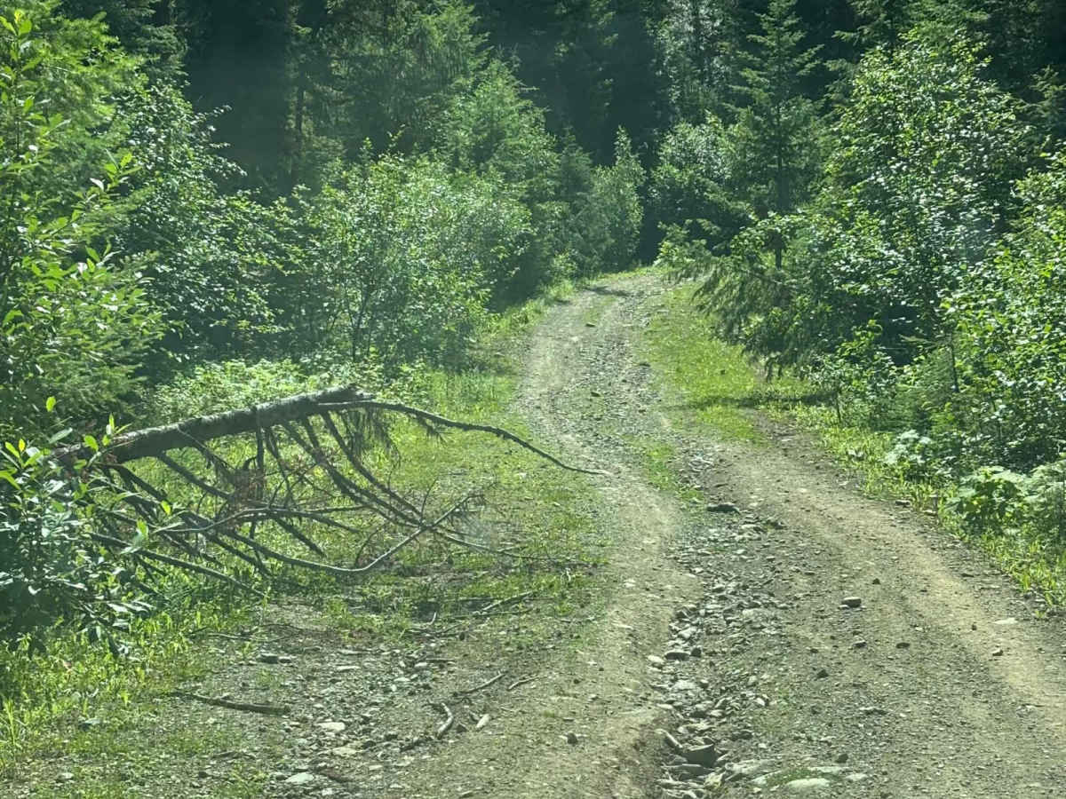
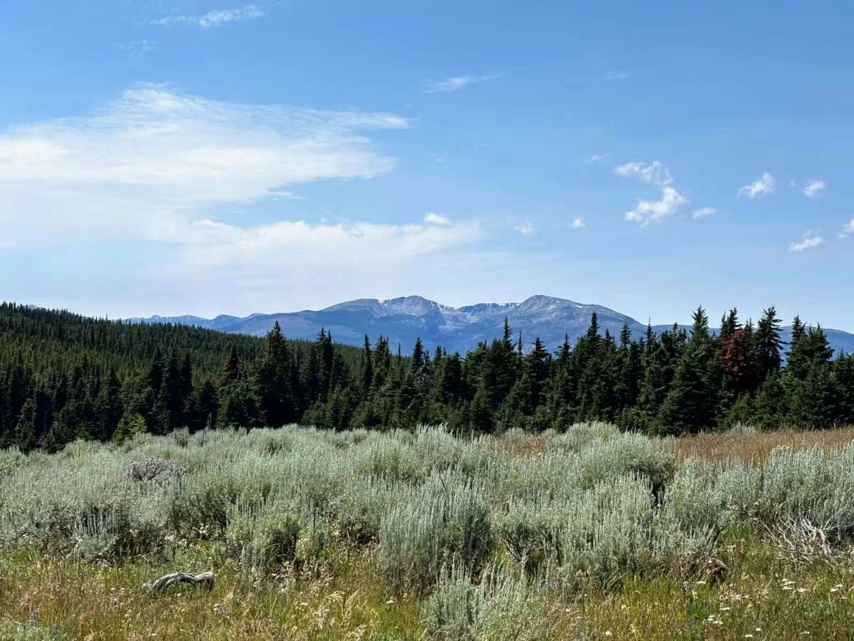
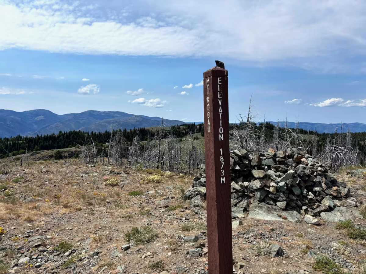
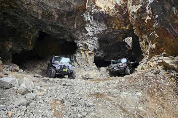
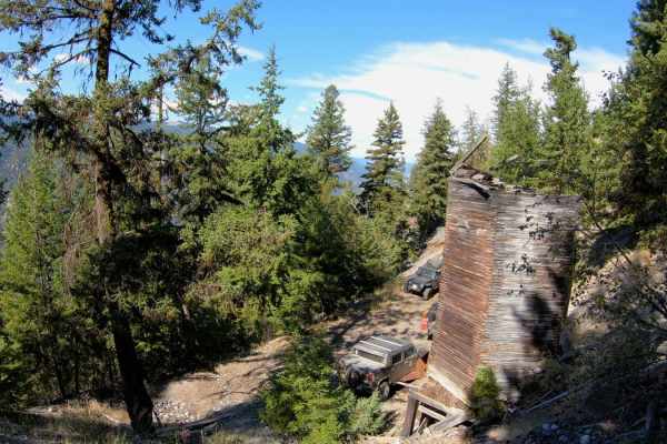
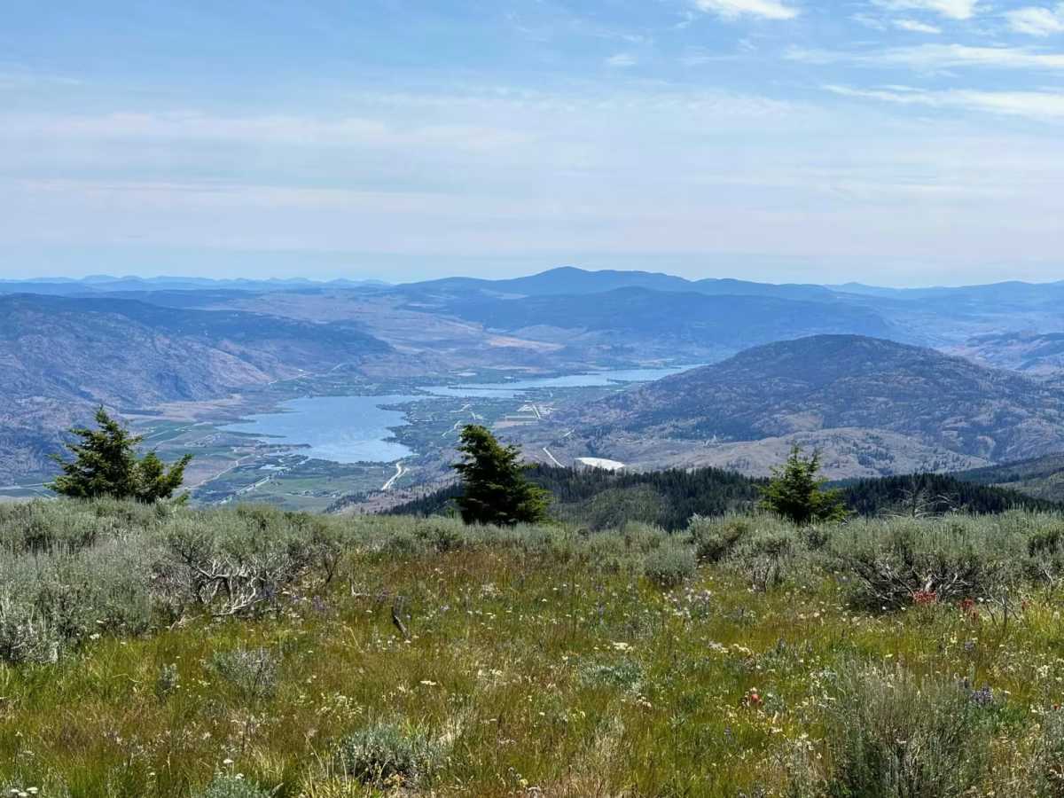
This trail runs along the top of the ridge to the west of the Okanagan Valley. The trail is not overly difficult except for a barrier bypass at 3.5 kilometers from the trailhead, travelling from north to south. This bypass requires a high-clearance 4x4. It is a bit off camber and tight. The rest of the trail is a mixture of dirt and gravel, with some loose rocks on several of the climbs and descents. There is some trail degradation and some water bars, but none are extreme. The trail has some amazing views into the Okanagan and Similkameen valleys as well as a view of Keremeos along the way. The payoff is the view from Mount Kobau. It requires a short hike from a parking lot, but is worth it for a 360-degree view of the southern Okanagan and Similkameen valleys and down into the USA. The trail south from the Mount Kobau lookout is slightly degraded, but a car could make it up with some care.

Photos of Mount Kobau

Difficulty

The trail is mostly a difficulty 3, but the barrier bypass at 3.5 km is closer to a difficulty 4 due to the tight up-and-down off-camber corner. The climb up to Mount Kobau heading north from Hwy 3 is a difficulty 2.

Technical Rating

3

Mount Kobau Trail can be accessed by the following ride types:

  • Single Track
  • 50 Inch
  • 60 Inch
  • High Clearance
  • Full Width

Mount Kobau Map

The onX Offroad Difference

onX Offroad combines trail photos, descriptions, difficulty ratings, width restrictions, seasonality, and more in a user-friendly interface. Available on all devices, with offline access and full compatibility with CarPlay and Android Auto. Discover what you're missing today!

Open Trail Map