Trail Overview
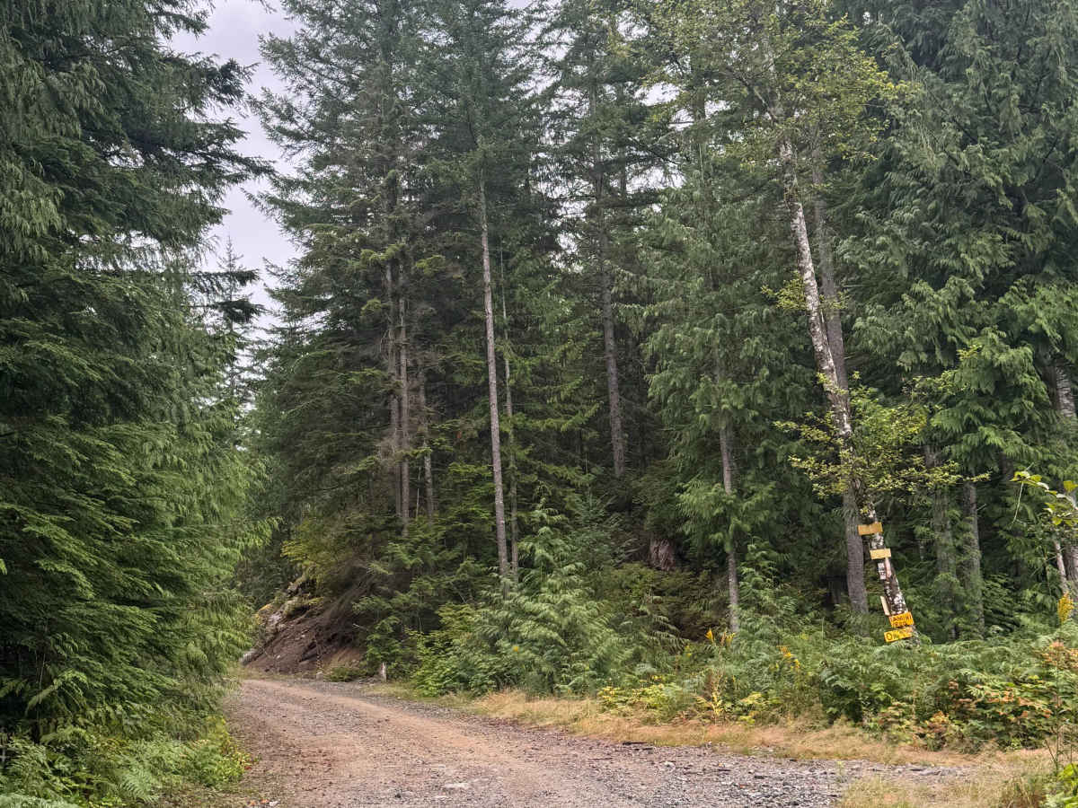
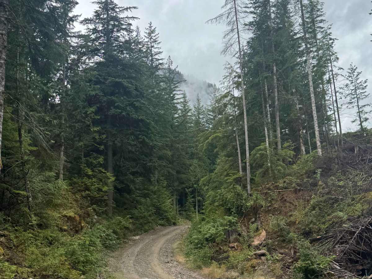
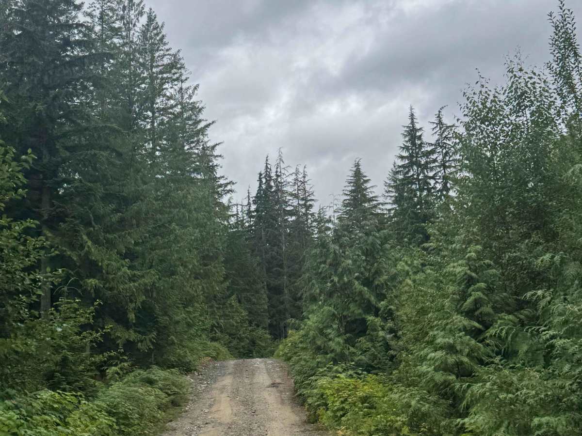
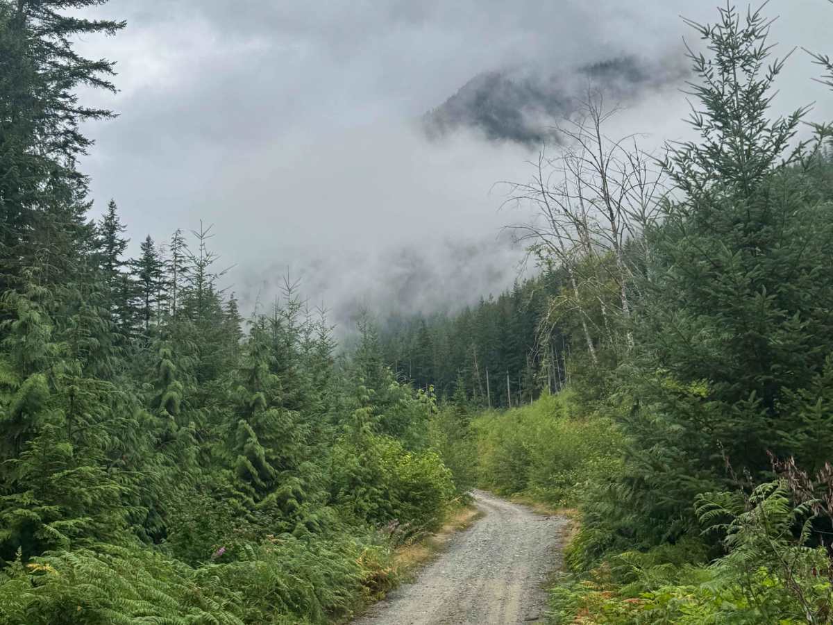
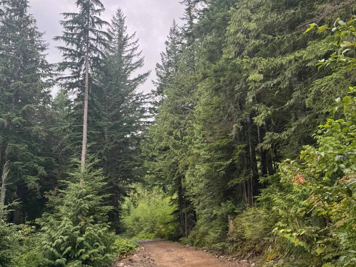
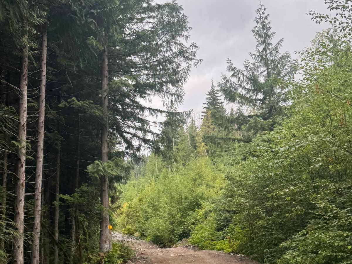
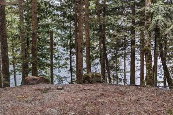
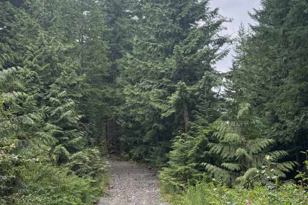
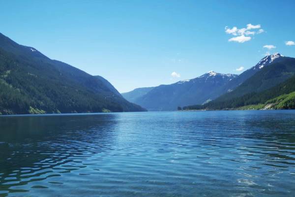
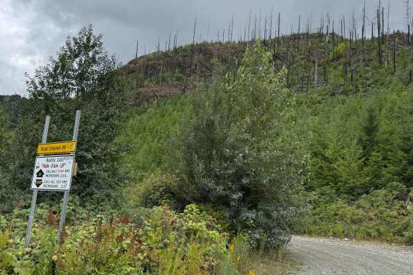
This is a gravel forest road that gradually climbs around 900 feet in elevation on the west side of Chehalis Lake. It is about one vehicle wide with places to pass, and has lots of humps/whoops that are up to 2 feet deep; one has a very shallow water crossing. The route ends 2.3 miles in, where the road becomes extremely overgrown and appears as though it has not been traveled in a long time. Camping is available along this entire route. There are many pre-existing campsites with great views of the surrounding mountains and ridges, as well as a view down to Chehalis Lake. This route is suitable for any vehicle type; however, there are no amenities or cell phone service, so travel prepared.
Difficulty
Easy gravel forest road that is one vehicle wide with places to pass. The route has several humps/whoops that are up to 2 feet deep, and one has a very shallow water crossing. This trail is suitable for any vehicle type.