Trail Overview
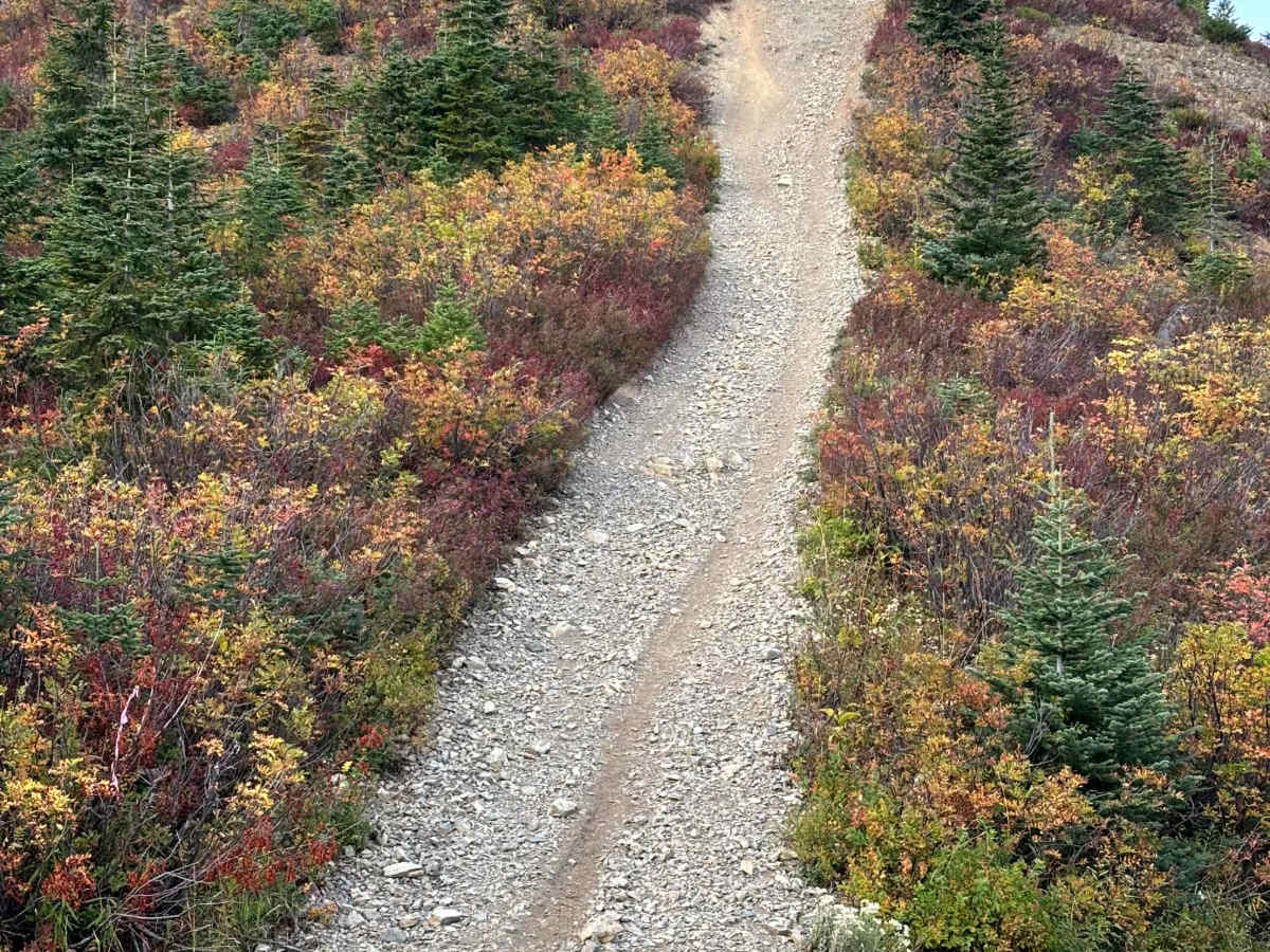
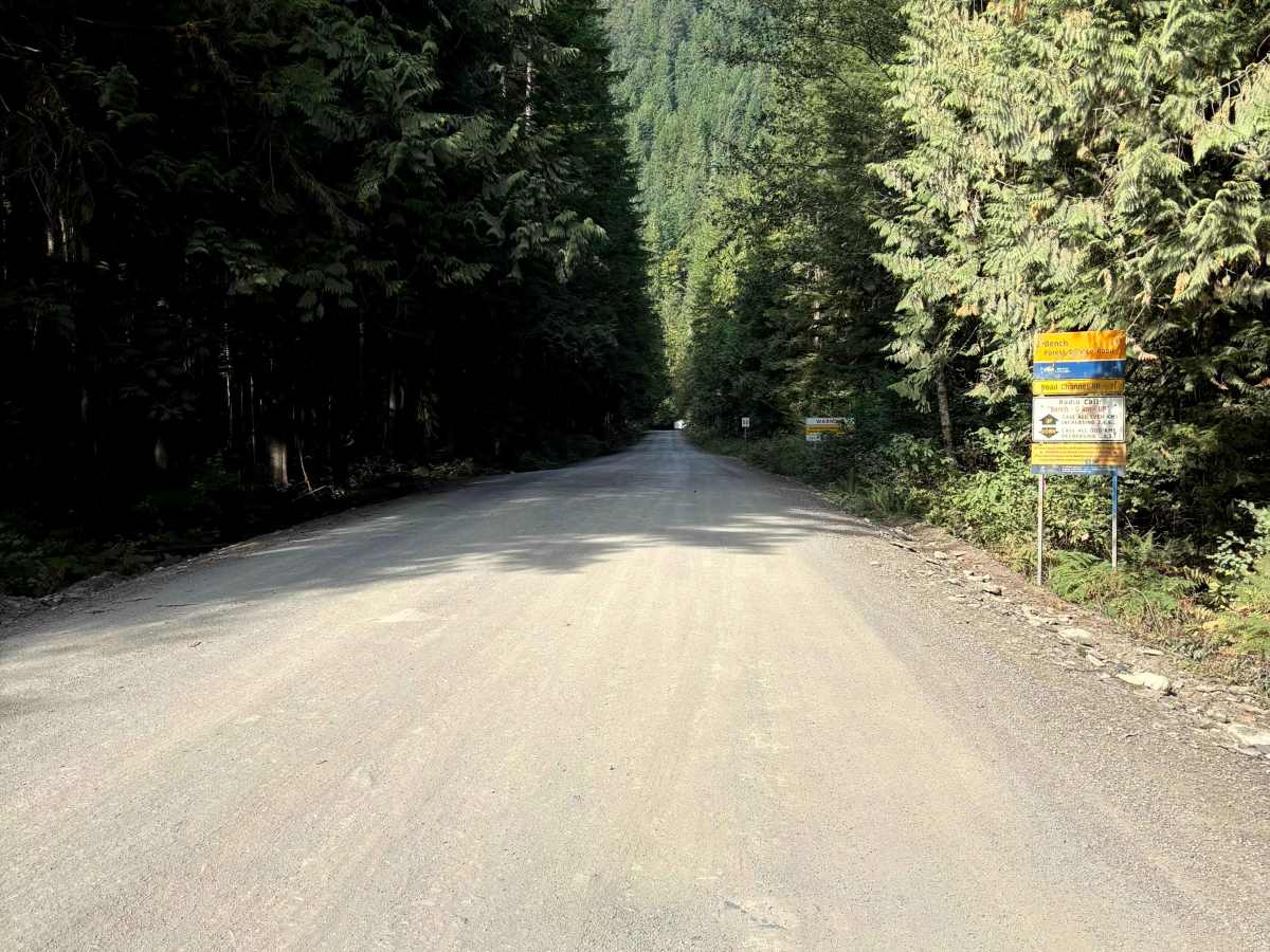
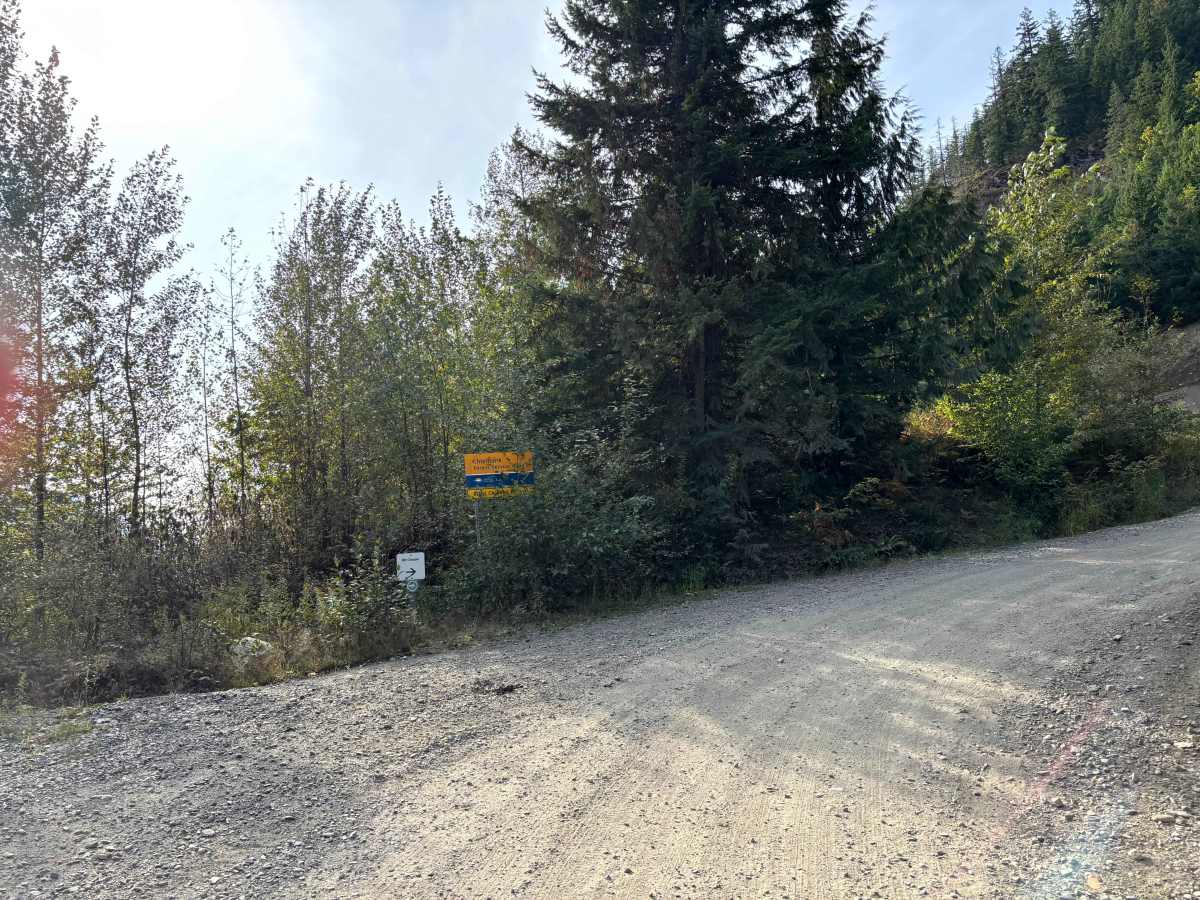
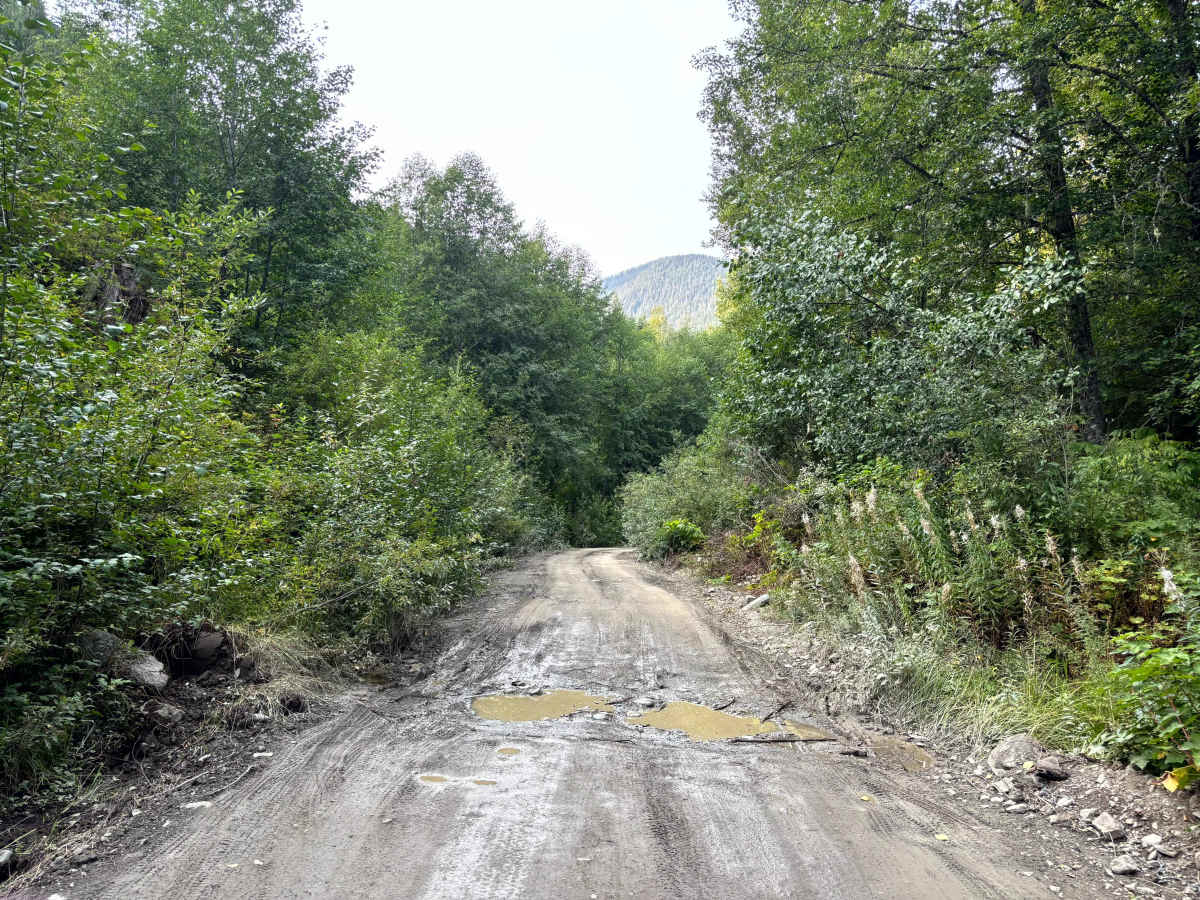
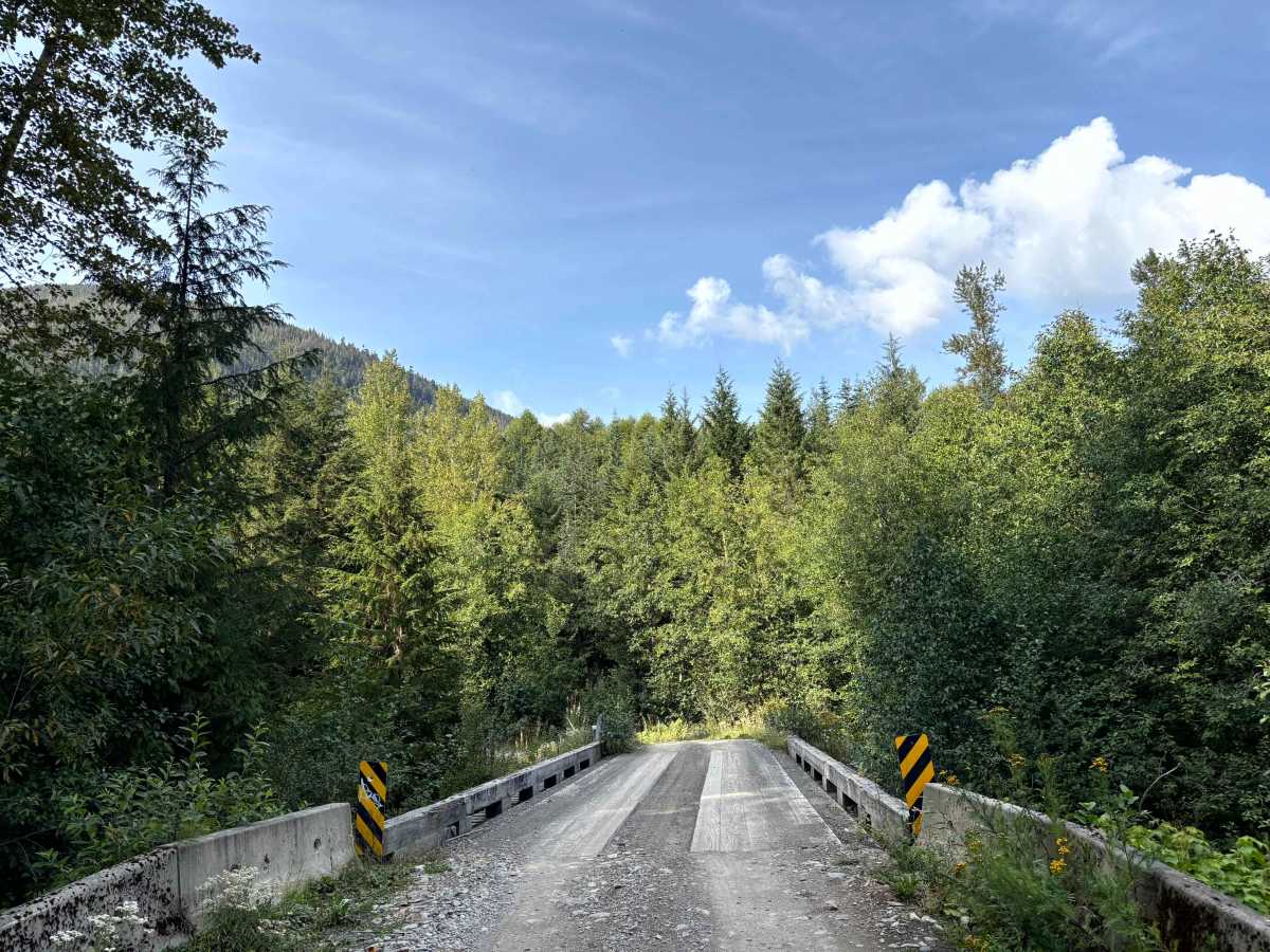
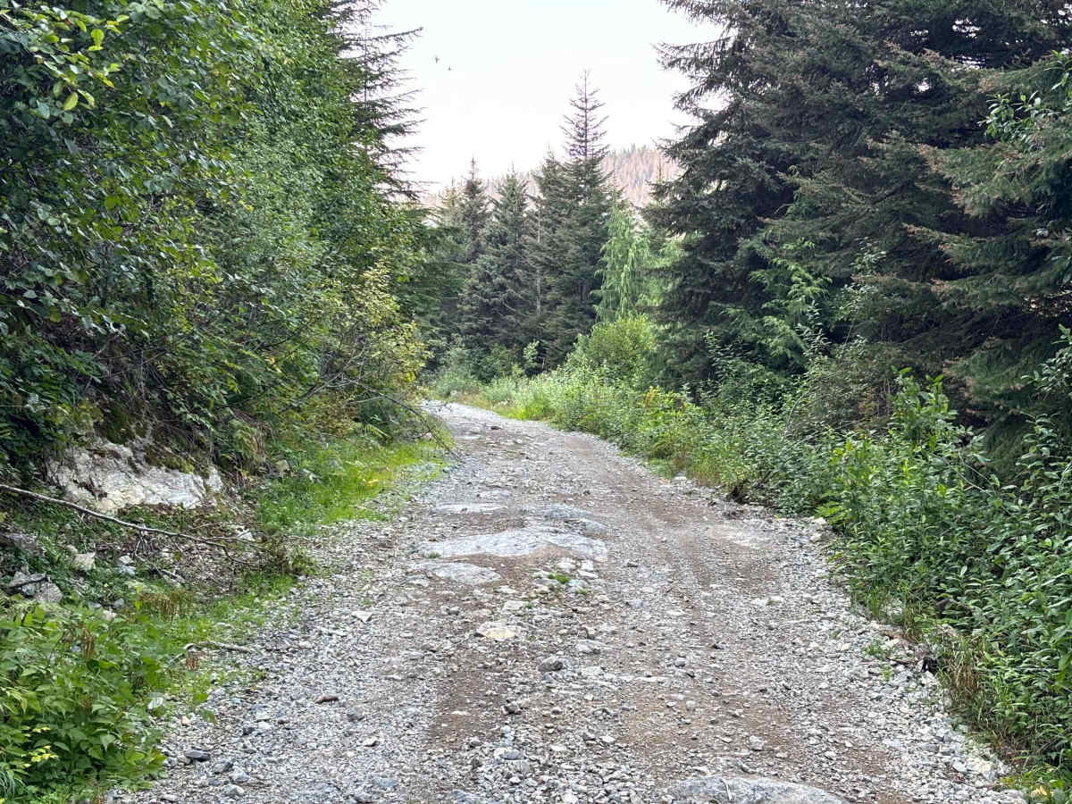
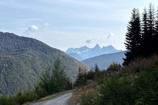
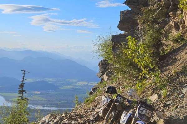
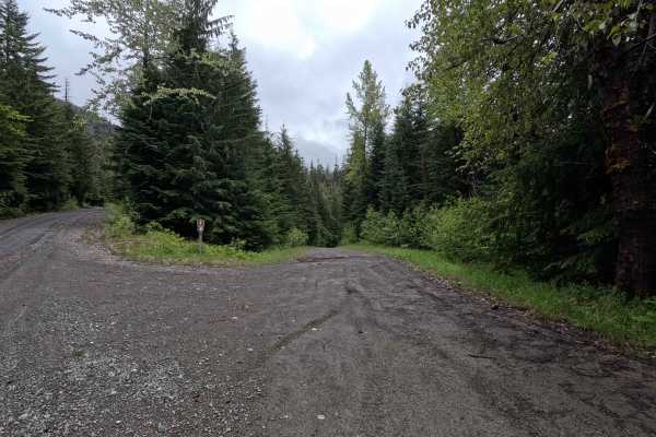
Thurston Loop has a large variety of road surfaces, conditions and obstacles. There is a wide area at the start of Bench FSR for airing down. The trail starts out as a wide 2 lane FSR with a well groomed gravel surface. It narrows to one lane as it starts to climb Chipmunk FSR. The road is still in good condition with gravel surface and a few potholes. There are a few hills with loose gravel and one bridge to cross. The washout at 4.3km has been completely repaired. Once you branch left at the junction to Mt Cheam, the trail narrows and the surface changes to a combo of dirt and gravel. The hills are steeper with loose gravel and some rock ledges, ruts and switchbacks. On reaching the top of the ridge, there is a campsite with an amazing view. From here the trail changes dramatically. The surface is mostly dirt and is narrow with mud and water holes up to 24 inches deep with gravel and mud bottoms. There are some large rock ledges and loose rocky descents with views all along the way. The trail is overgrown and will add many new pinstripes to you paint. And then you reach Widowmaker Hill! It looks steep at the bottom, but gets much steeper as you climb and has rock ledges that want to kick you around in the steepest section near the top. Stay right and don't stop on the hill! There is a bypass for those that don't want to try it. The view at the top of Widowmaker Hill is one of the best views close to Vancouver. There are two different campsites at the top. From this point the descent back down begins. It is mostly long, steep shelf road sections with loose rocks and gravel. Use low gear engine braking to save your brakes from overheating. At each corner there are tricky, tight, steep off-camber creek ditches that will test your approach and departure angles and your nerve. After the shelf roads, you dive into the forest and back to dirt with loose rocks. At the end of this section is the "exit". It is a sketchy off-camber turn to the left over loose dirt that wants to slide your vehicle. Once you clear the "exit" the trail gets easier and wider as you head back to where you started from to air back up.
Difficulty
This trail includes steep climbs and descents with ruts and loose rocks, rock ledges, heavily eroded trail sections, water and mud holes up to 18"-24" deep, muddy trail sections, narrow, overgrown and off-camber trail sections, shelf roads, switchbacks, and creek crossings with steep, off-camber entries and exits.
History
There is a proposed development to put a gondola up to the ridgeline that Thurston Loop run along facing the Fraser Valley. The Bridal Falls Cascade Skyline Gondola may affect access to the trail in the future.