Trail Overview
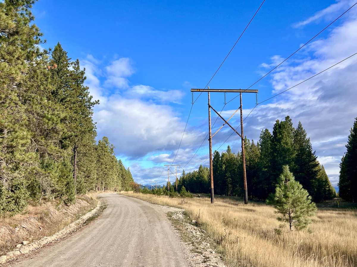
As the name suggests, the Ta Ta Bypass is a short, scenic connector trail that skirts the community of Ta Ta Creek, offering a quick backcountry alternative to the main roads. As you crest and descend the rolling hills, the timber opens to reveal outstanding panoramic views of the surrounding Rocky and Purcell Mountain ranges. For a portion of the drive, the track runs directly along a utility powerline corridor. Along the way, the trail intersects with Gatsby Road, which heads up toward a small pond. Keep a close eye on your onX property boundaries here, as the pond and surrounding parcels may sit on private land. If you are looking to set up camp for the night, a short offshoot spur branches off the bypass and leads directly to a quiet dispersed camping area. Stay alert for oncoming traffic around a few tight, blind corners. Cell service is nonexistent along the interior sections of the trail, though you will pick up a few bars as you approach the Highway 93/95 corridor.
Difficulty
This is an easy, beginner-friendly drive situated on a generally wide, well-graded gravel roadbed suitable for any standard 4x4, AWD crossover, or high-clearance 2WD vehicle. There are no major technical obstacles, but drivers should slow down through several stretches of heavy potholes and use caution around the blind corners.