Trail Overview
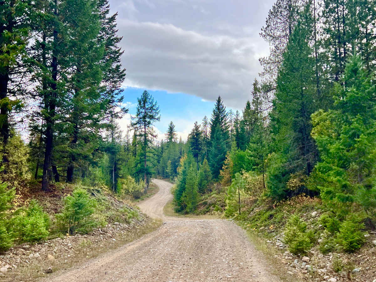
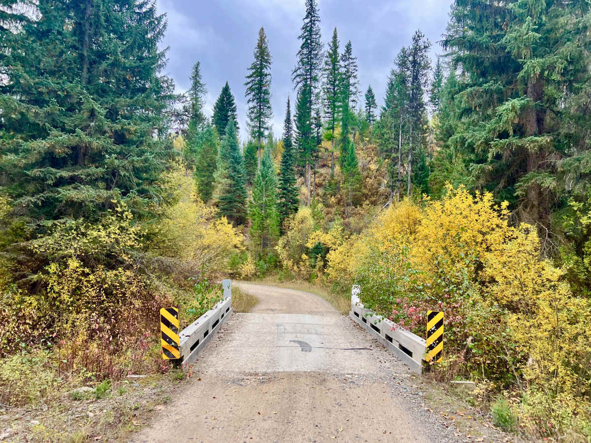
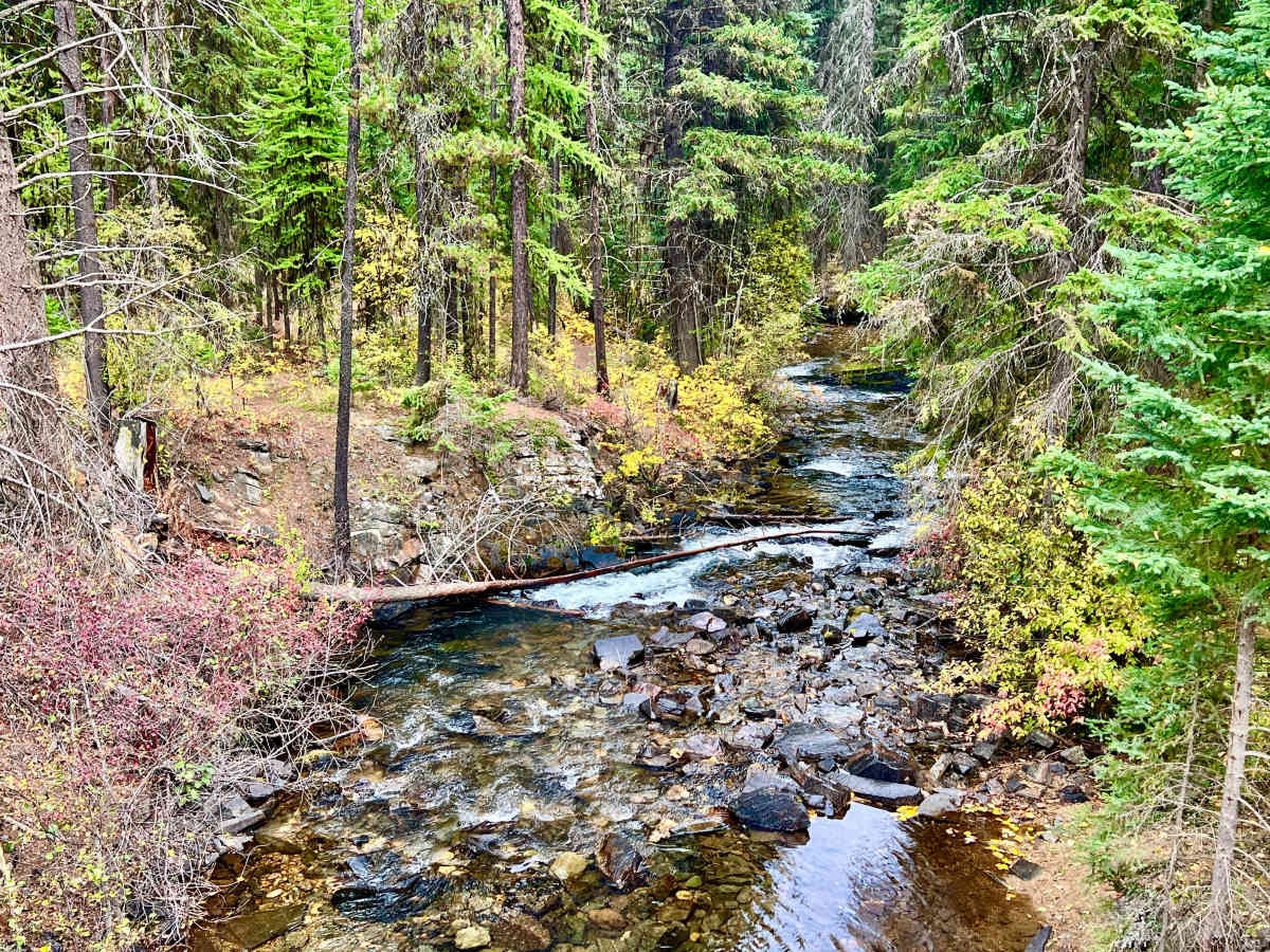
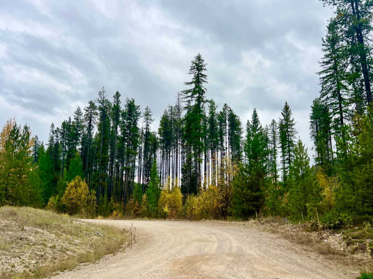
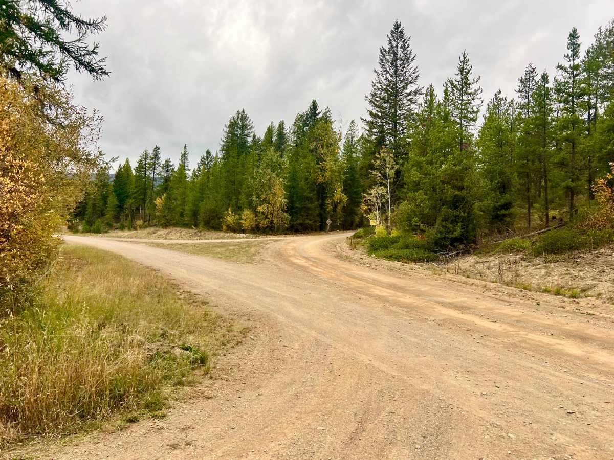
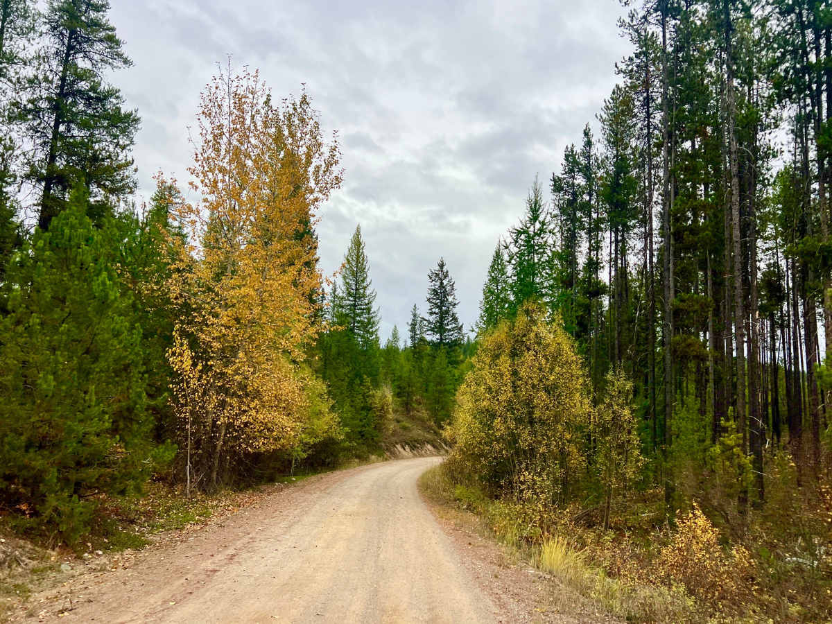
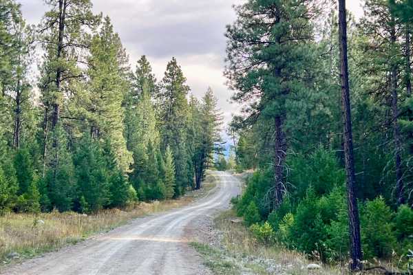
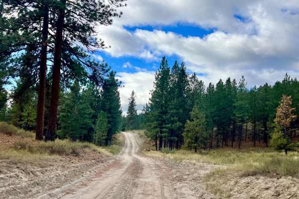
This scenic backcountry corridor in the East Kootenays pairs seamlessly with South Lost Dog FSR to create an enjoyable access loop through the Lost Dog and Ta Ta Creek area. The route winds through mixed forest, crosses local creeks, and climbs onto a ridgeline where breaks in the timber reveal expansive views across the Rocky Mountain Trench and the surrounding Purcell and Rocky Mountain ranges. Depending on the season, the drive is highlighted by vibrant bursts of wildflowers in spring or golden aspens and larches turning gold in autumn. As an active open-range area, drivers must stay alert for free-ranging cattle in the roadway, especially around blind corners, as well as local ranchers actively moving or corralling livestock. The road serves as a primary hub for numerous spur trails, offering plenty of opportunities for further exploration. Expect weak, intermittent cell service (roughly one bar) that fades in and out along the ridge but generally strengthens near the lower elevations at the bottom of the trail.
Difficulty
This Forest Service Road is generally in good shape and easily manageable for any high-clearance 2WD or AWD vehicle under dry conditions. Drivers will encounter some embedded and loose rock sections, along with narrower stretches where two vehicles cannot pass simultaneously. Watch for wider pullouts when navigating tight corridors, as one vehicle may need to back up to a wide spot to let oncoming traffic through.
History
Situated within the traditional territory of the Ktunaxa Nation, the Ta Ta Creek and Cherry Creek benchlands have long served as vital travel and hunting grounds within the Rocky Mountain Trench. In the late 19th and early 20th centuries, European settlers were drawn to the area’s open grasslands and plentiful water sources descending from the Purcell Mountains, establishing long-standing cattle ranches that still operate on these Crown range tenures today. Forestry networks like the Ta Ta Lost Dog FSR were later expanded to harvest timber from the surrounding benches, eventually evolving into the multi-use recreational and range-access corridors enjoyed by off-roaders and locals today.