Trail Overview
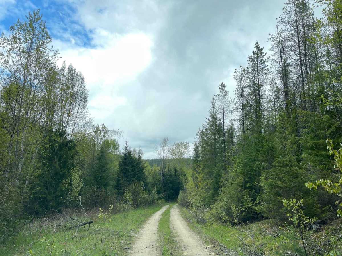
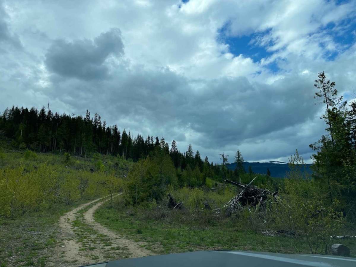
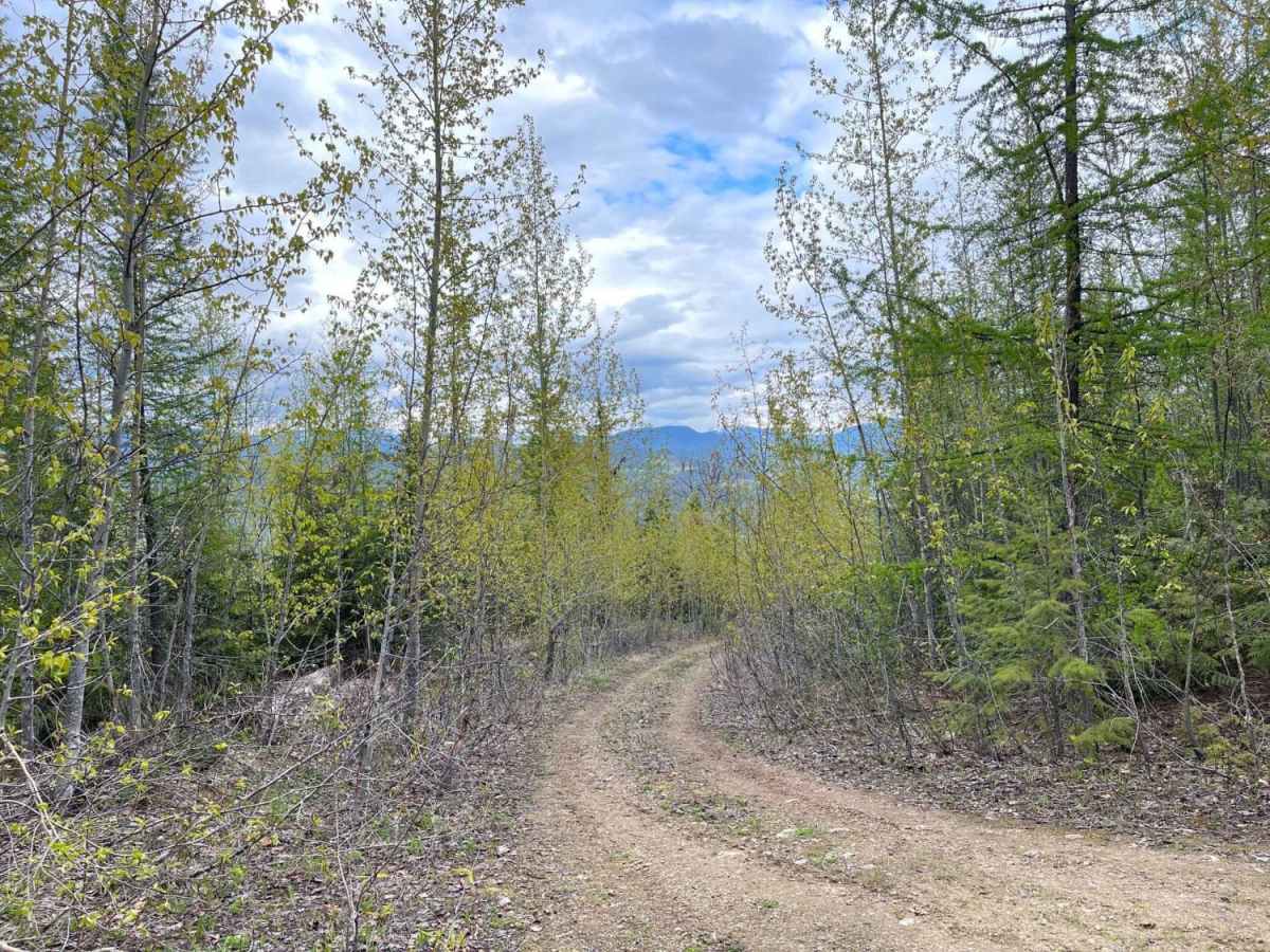
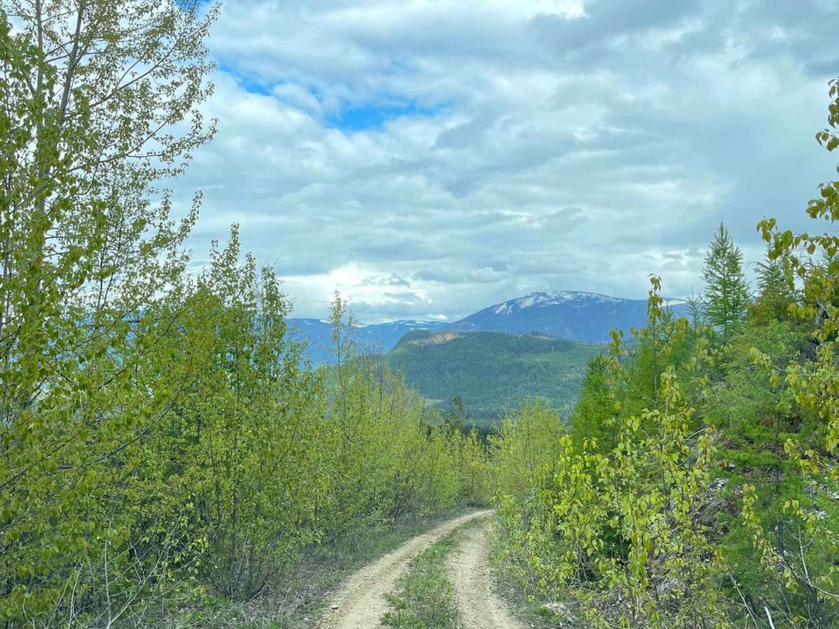
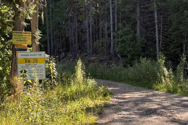
Sunshyne Road is an unmanaged, brush-heavy route ideal for adventurous four-wheel-drive vehicle owners and SxS drivers who do not mind earning a few trail pinstripes in exchange for spectacular mountain scenery and a secluded backcountry campsite. Situated west of Hidden Lake in British Columbia, this 3.1-mile trail climbs from an elevation of 2,051 feet up to a peak of 3,110 feet, offering a steady ascent with a cumulative elevation gain of 1,047 feet. While the terrain remains relatively accessible with a technical difficulty rating of 3, the real challenge lies in its tight, overgrown nature where thick brush constantly hugs the path. Drivers should expect mild bumps and minor washouts along the unpaved dirt surface, requiring a vehicle with decent ground clearance but nothing too extreme for a standard high-clearance four-wheel-drive.
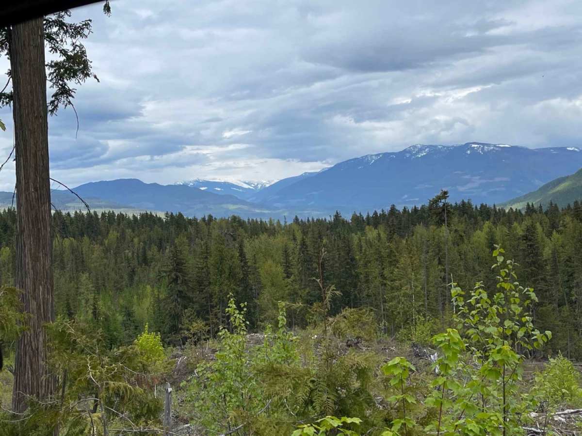
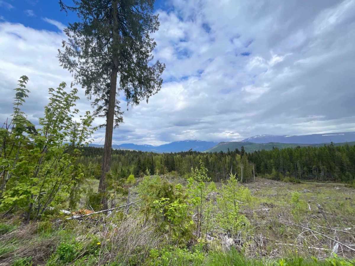
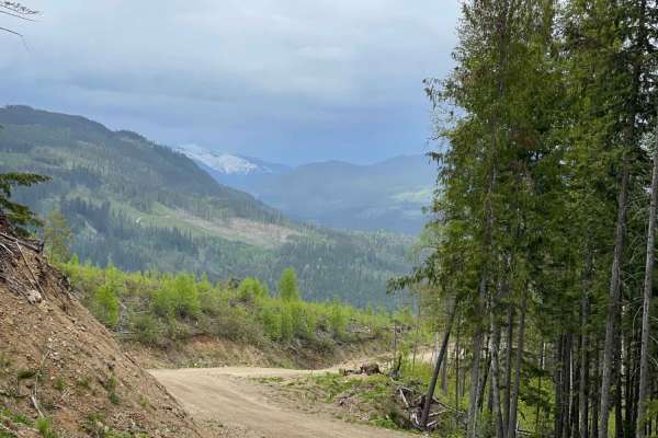
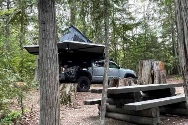
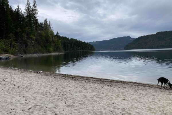
As the route winds upward, it treats travelers to sweeping views of the lush Shuswap River valley and a striking, large waterfall cascading down the adjacent mountainside. The trail culminates in a dead end, which opens up to a peaceful, remote camping spot perfect for those looking to escape the crowds and spend a night in the wilderness. Due to the dense growth and lack of regular maintenance, this route is best suited for smaller rigs, SxSs, or those who are fully prepared for paint-scratching branches. Navigating the path is straightforward, but drivers should exercise caution near the dead end where turnaround space can be limited, making it wise to scout the final camping area before committing longer vehicles.