Trail Overview
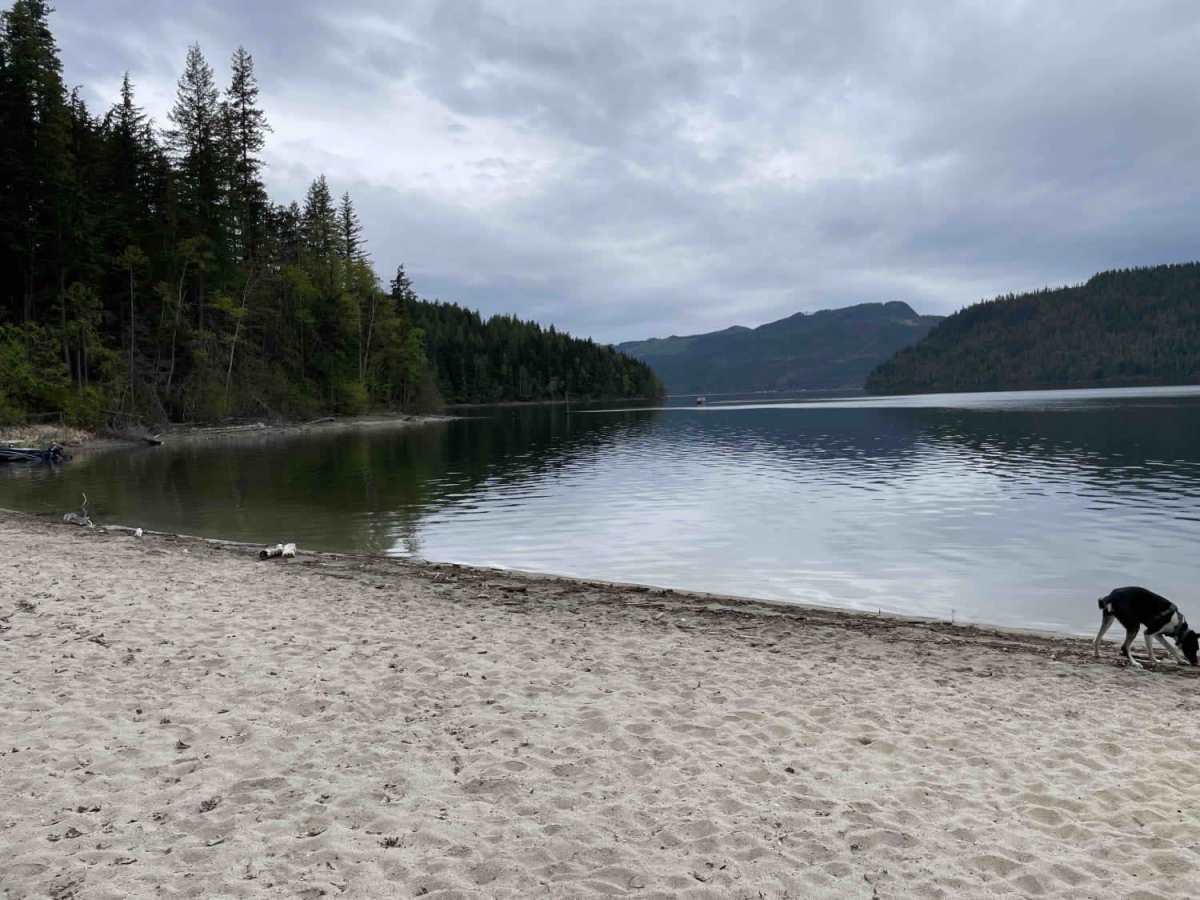
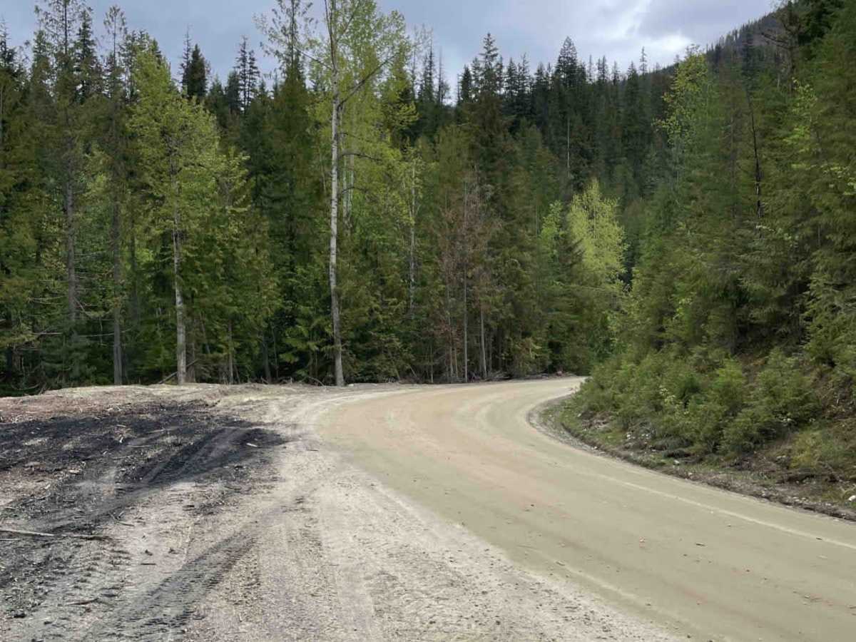
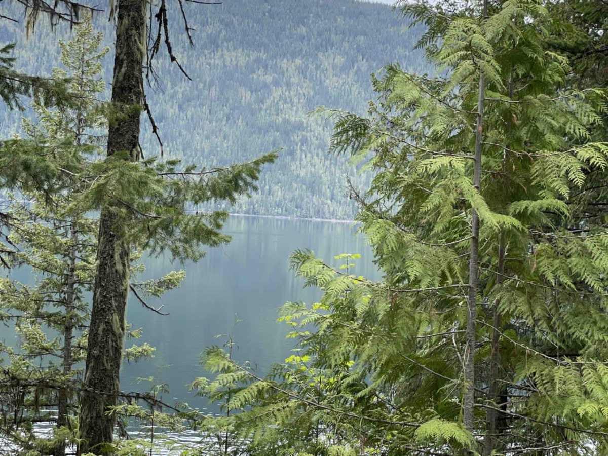
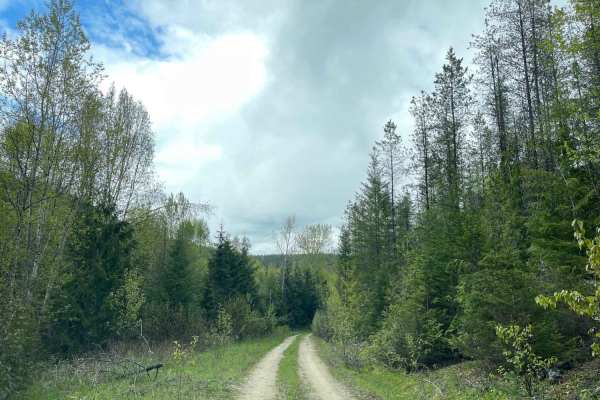
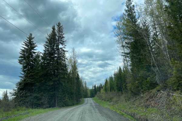
This scenic, easy-going 14-mile route along the eastern shore of Mabel Lake is perfect for beginners and drivers looking for a relaxing, picturesque drive with stunning water views. The Mabel Lake Forest Service Road connects Mabel Lake Provincial Park to the Cottonwood Recreation Site, traversing well-maintained unpaved surfaces with a technical rating of 2. Elevations along the route range from approximately 1,305 feet up to 1,722 feet, with a modest cumulative gain of about 895 feet. Though the route contains some light ruts and washboards, it is generally accessible to most high-clearance vehicles, four-wheel-drive systems, and SxSs without requiring specialized equipment or off-road modifications.
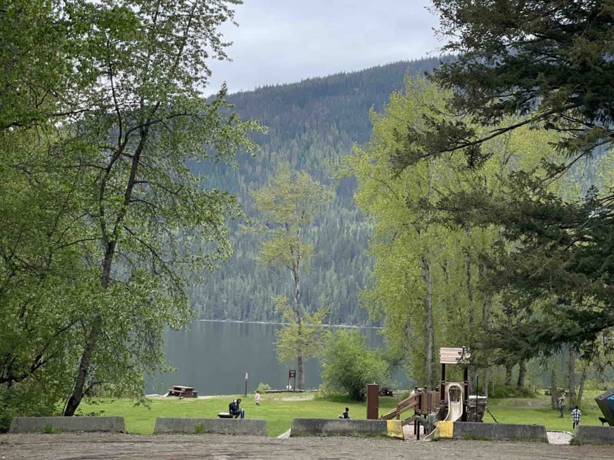
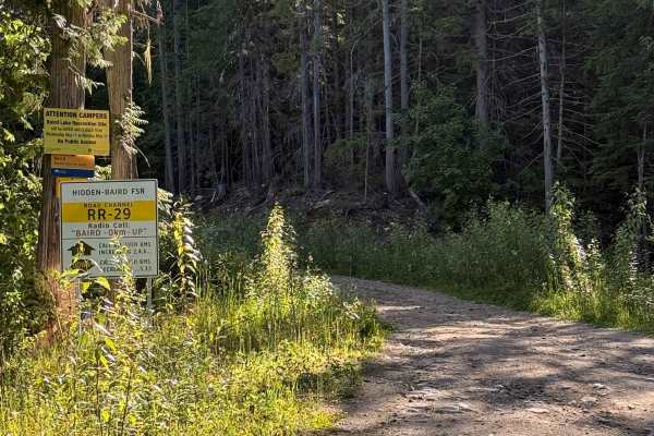
Because this is an active logging corridor, safety and local knowledge are paramount when planning your trip, particularly on weekdays. Drivers should use a two-way radio to monitor and broadcast their mileage on the designated resource road frequency to prevent head-on collisions with fast-moving industrial trucks. At the southern end, Mabel Lake Provincial Park offers paved access, boat launches, and established campgrounds, while the northern terminus at Cottonwood Recreation Site provides a more rustic beachside camping and staging experience. The trail remains a highly accessible option for outdoor enthusiasts looking to access remote fishing, paddling, and lakeside relaxation along one of British Columbia’s most beautiful interior waterways.
Access Description
The route is located along an active logging corridor. When traveling on weekdays, drivers should use a two-way radio to monitor and call out their mileage on the designated resource road frequency to prevent accidents with fast-moving industrial logging trucks. No permits or fees are required to travel the road itself, though overnight fees may apply for camping at Mabel Lake Provincial Park or Cottonwood Recreation Site.

 Offroad