Trail Overview
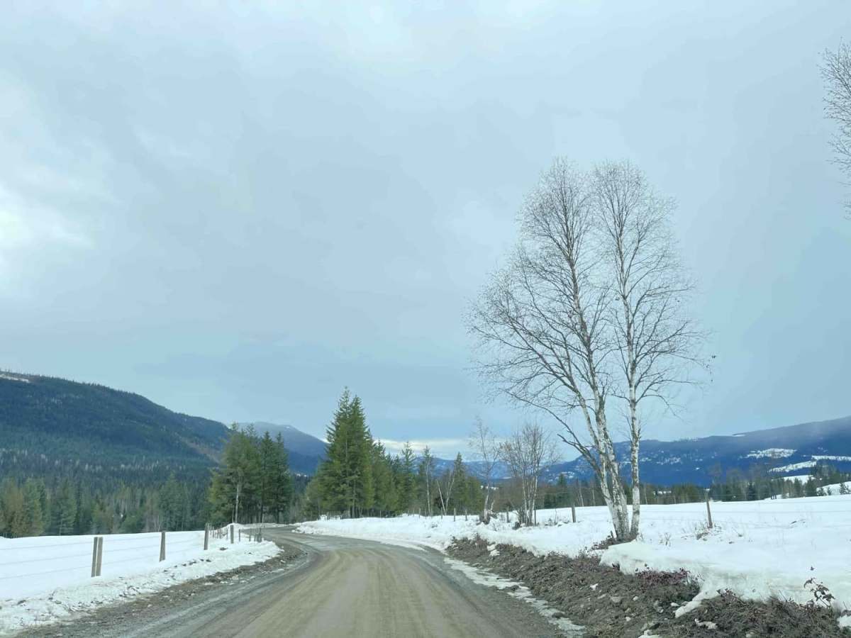
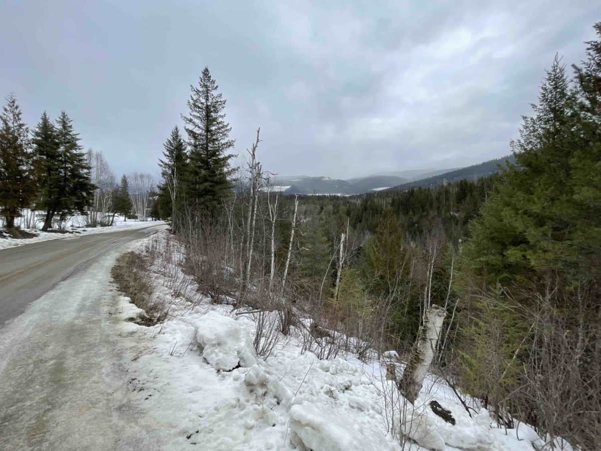
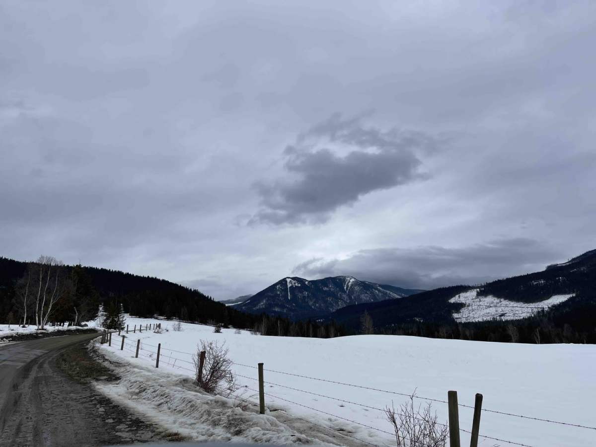
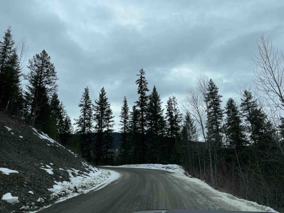
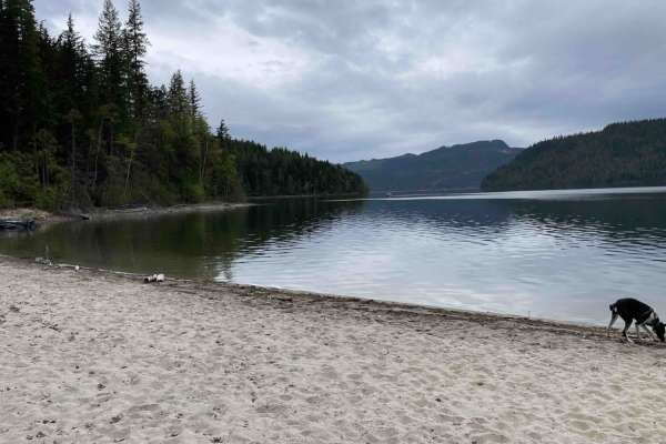
Silver Hills Road is an easy, scenic 5.4-mile dirt and gravel drive through a mountain valley in the Silver Hills area near Lumby, British Columbia. Rising gently from 1,358 feet to 2,281 feet, the route has a low technical rating of 2, featuring minor obstacles like occasional potholes and washboard sections. It is suitable for high-clearance 2WD vehicles, stock SUVs, and standard crossovers during the dry season as it winds through scenic ranchlands and wildlife habitats.
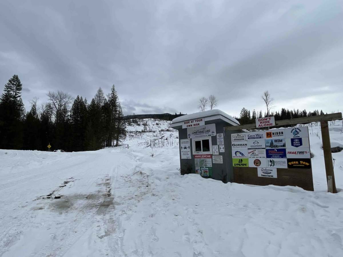
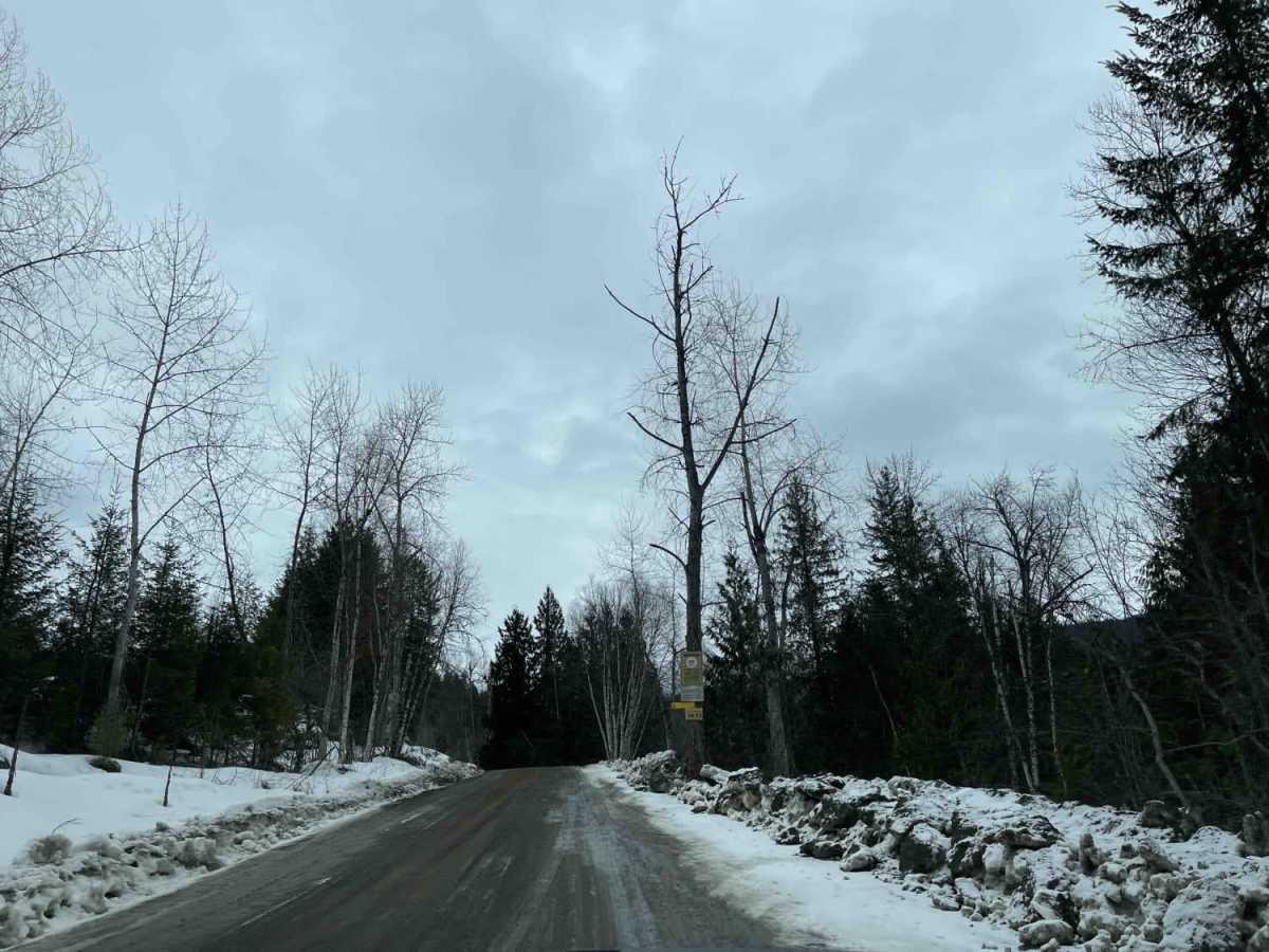
Historically known as Squaw Valley Road, the route connects Lumby-Mabel Lake Road to a recreational area at its eastern terminus, passing the historic Squaw Valley Ranch along the way. While highly accessible from late spring through autumn, the eastern portion is closed to wheeled vehicles in the winter, transitioning into a designated snowmobile zone.
History
Historically known as Squaw Valley Road, this rural route has existed for over 100 years in the Silver Hills area. It consists of three branches connecting to Lumby-Mabel Lake Road at its western terminus. The Squaw Valley Ranch, located along the road, is one of British Columbia's notable cattle ranches and was recognized with the 2015 Environmental Stewardship Award.
Access Description
The road is well-maintained to provide access to local ranching properties. The eastern end of the road terminates at a recreational area that is closed to wheeled vehicles during the winter season, transitioning into a designated snowmobile recreation zone.