Maks Road

Total Miles4.8
Technical Rating
3Easy
Best TimeSpring, Summer, Fall, Winter
Trail TypeFull-Width Road
Accessible By
Open Trail Map

Trail Overview

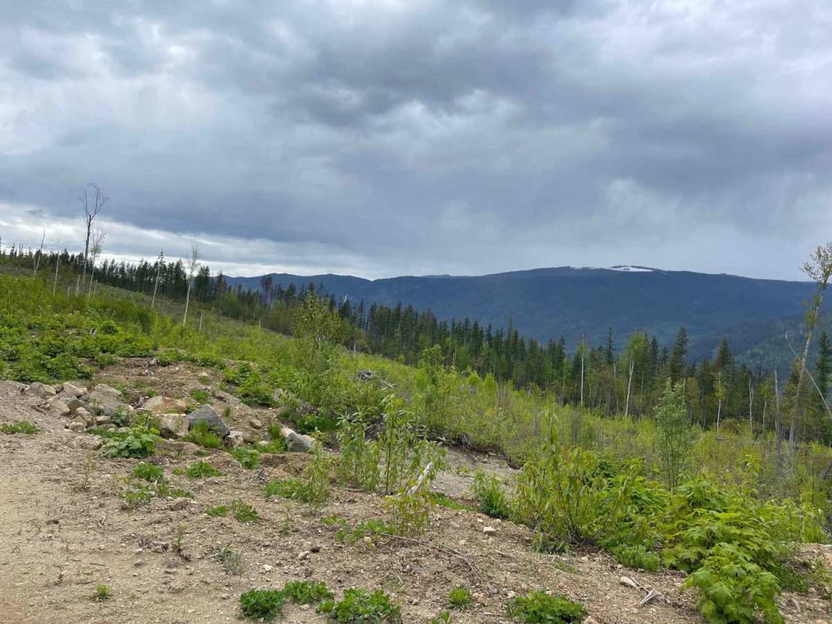
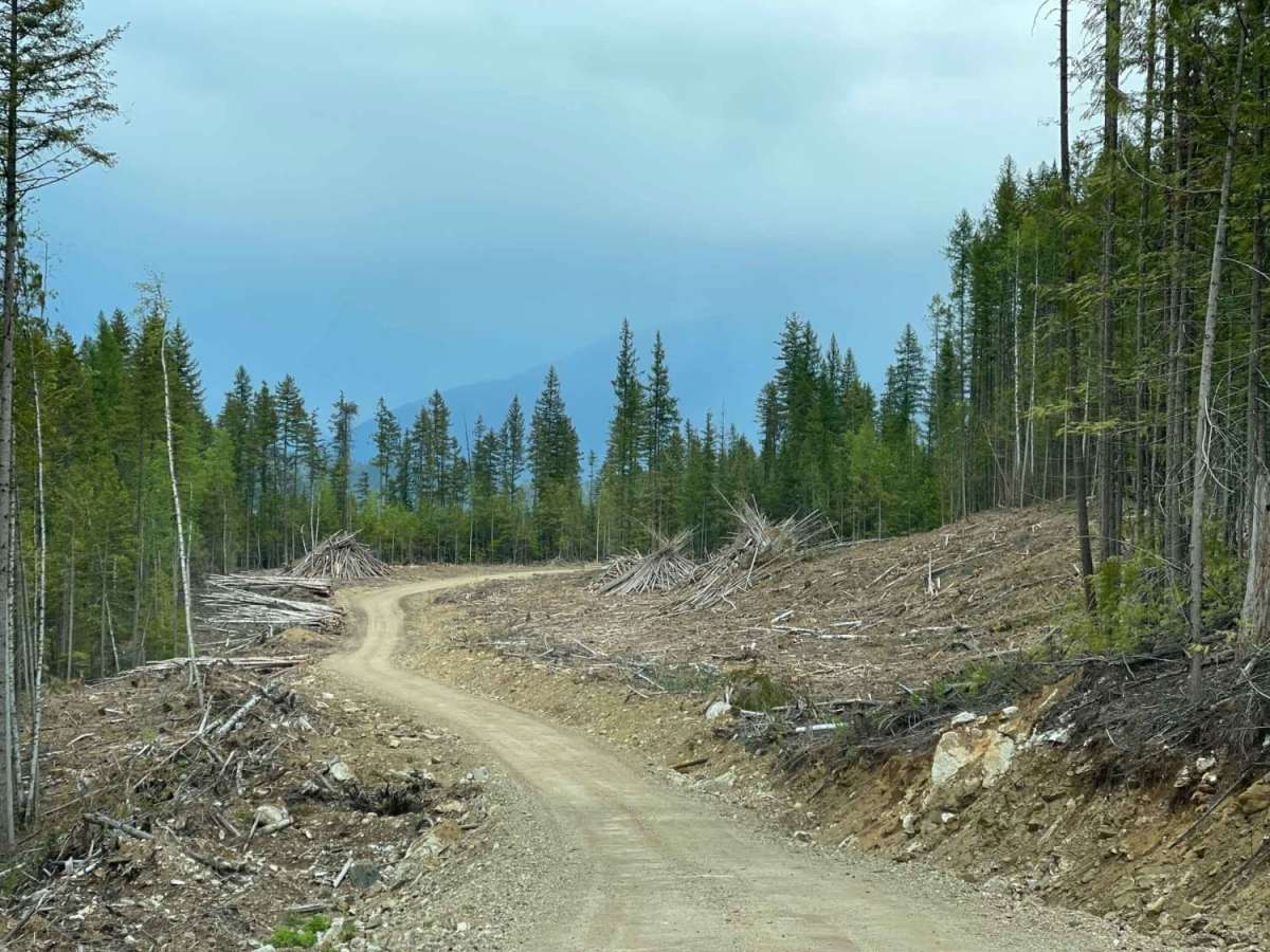
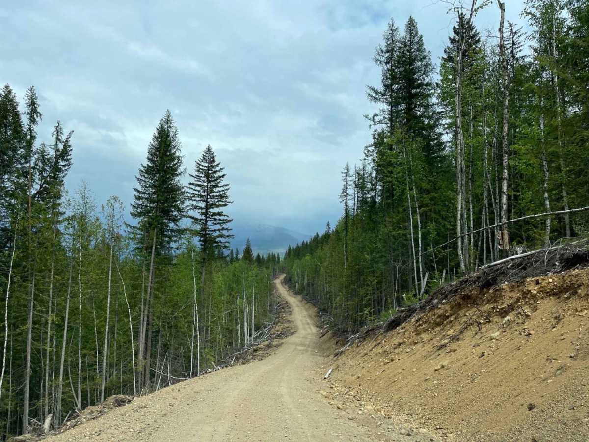
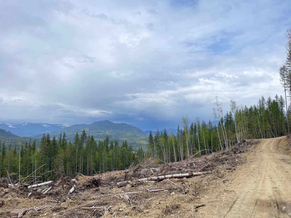
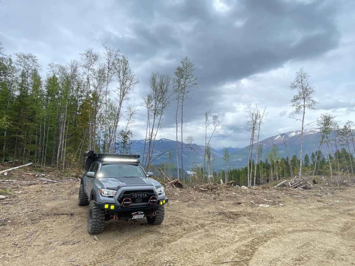
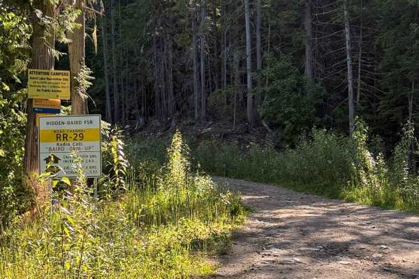
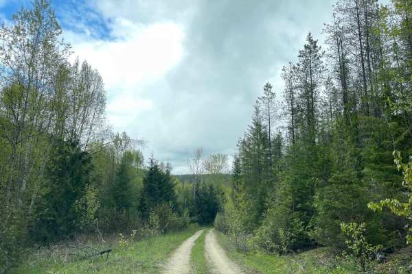
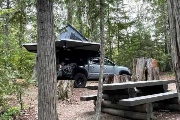
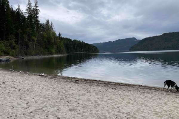
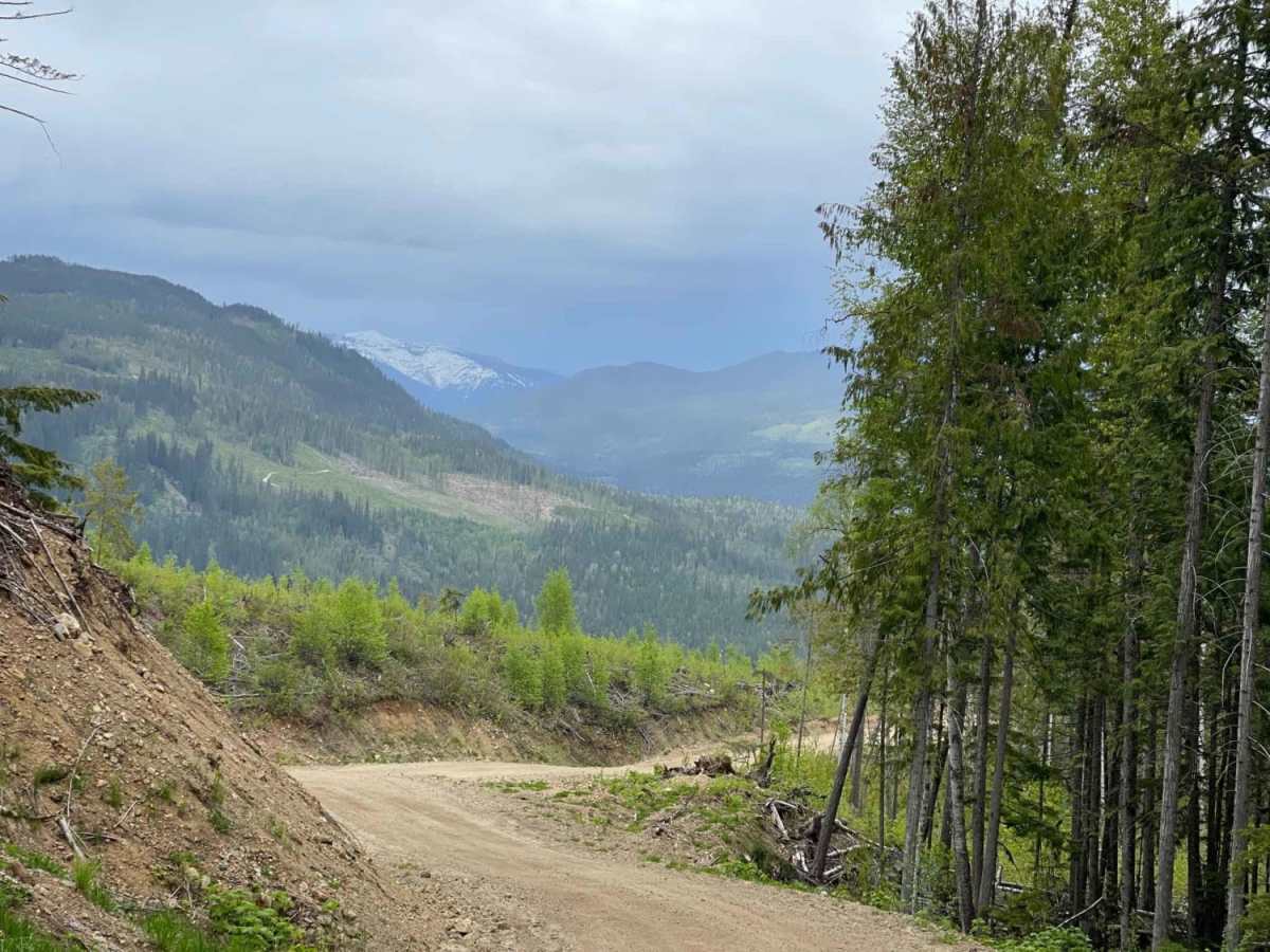
Maks Road is a scenic, 4.7-mile unpaved route climbing through active timberlands near Mabel Lake, British Columbia. Climbing from 1,795 feet to 2,680 feet, this road is highly accessible for high-clearance, four-wheel-drive vehicles, though passenger cars should avoid it due to minor washouts and washboard sections. The route traverses forested ridges above the Shuswap River valley, offering several wide turnouts suitable for primitive dispersed camping with mountain views. Because the trail crosses active logging zones, drivers must remain alert and yield to heavy machinery and loaded logging trucks. The route connects directly to the Mabel Lake residential area, providing access to lakeside recreation. While rated a mild 3 out of 10, some short pitches reach gradients of nearly 18 degrees.

Photos of Maks Road

Difficulty

Road is new and is in good shape. some small wash outs and wash board sections but fairly easy to access with most rigs. Maybe not a car..

Technical Rating

3

Maks Road Trail can be accessed by the following ride types:

  • Single Track
  • 50 Inch
  • 60 Inch
  • High Clearance
  • Full Width

Access Description

The road is situated within an active timber harvesting area; drivers must yield the right-of-way to all logging trucks and heavy machinery. There are no fees or permits required to access the road or use the dispersed campsites, but visitors should check current local fire bans and restrictions before camping.

Maks Road Map

The onX Offroad Difference

onX Offroad combines trail photos, descriptions, difficulty ratings, width restrictions, seasonality, and more in a user-friendly interface. Available on all devices, with offline access and full compatibility with CarPlay and Android Auto. Discover what you're missing today!

Open Trail Map