Southeast Main

Total Miles6.3
Technical Rating
1Easy
Best TimeSummer, Fall, Spring
Trail TypeFull-Width Road
Accessible By
Open Trail Map

Trail Overview

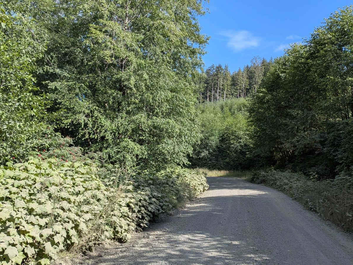
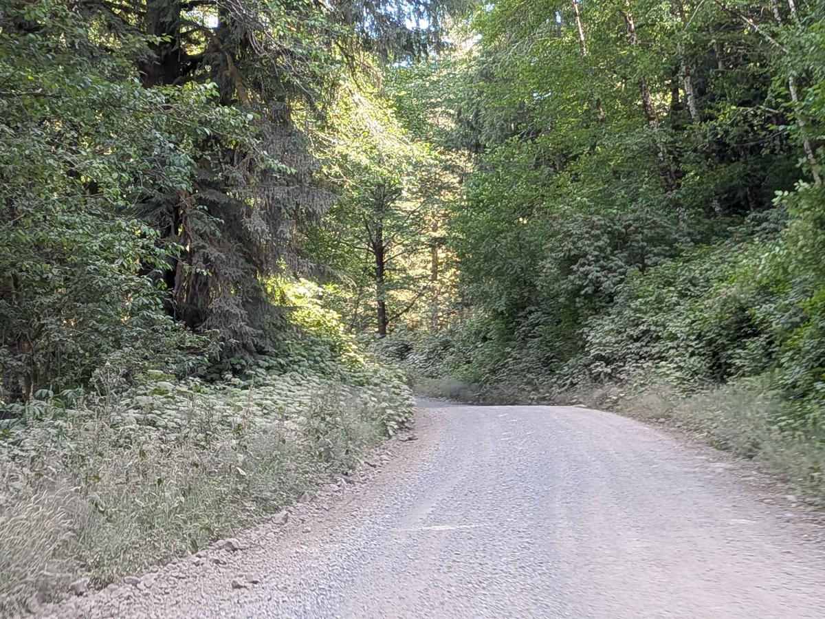
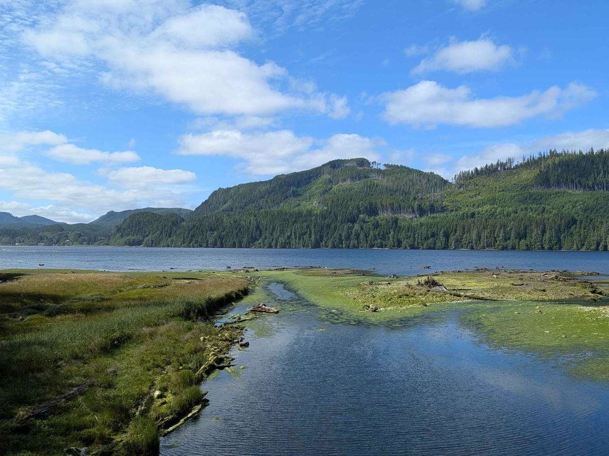
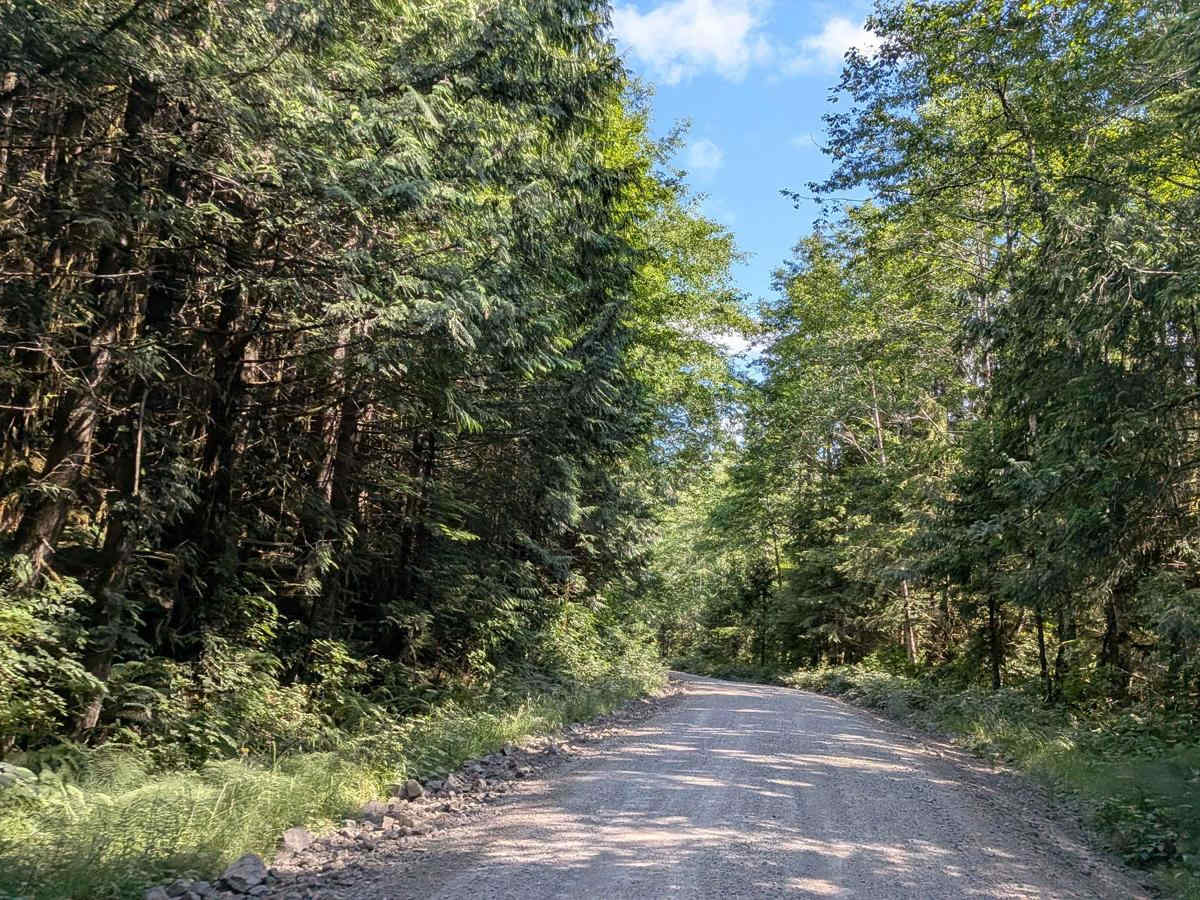
Southeast Main is a wide, active logging road that begins by running parallel to the Holberg Waterway Inlet, offering beautiful views early on. After a few kilometers, the trail climbs into dense forest, leaving the water behind. The road is three car widths wide, with a surface that alternates between gravel, packed dirt, and mixed gravel-dirt sections. It is generally well-graded but can become very dusty. Visibility may be significantly reduced when passing or being passed, so drive with caution. Logging trucks use this road regularly and travel at high speeds. They have the right of way, so be prepared to yield and use pullouts appropriately.

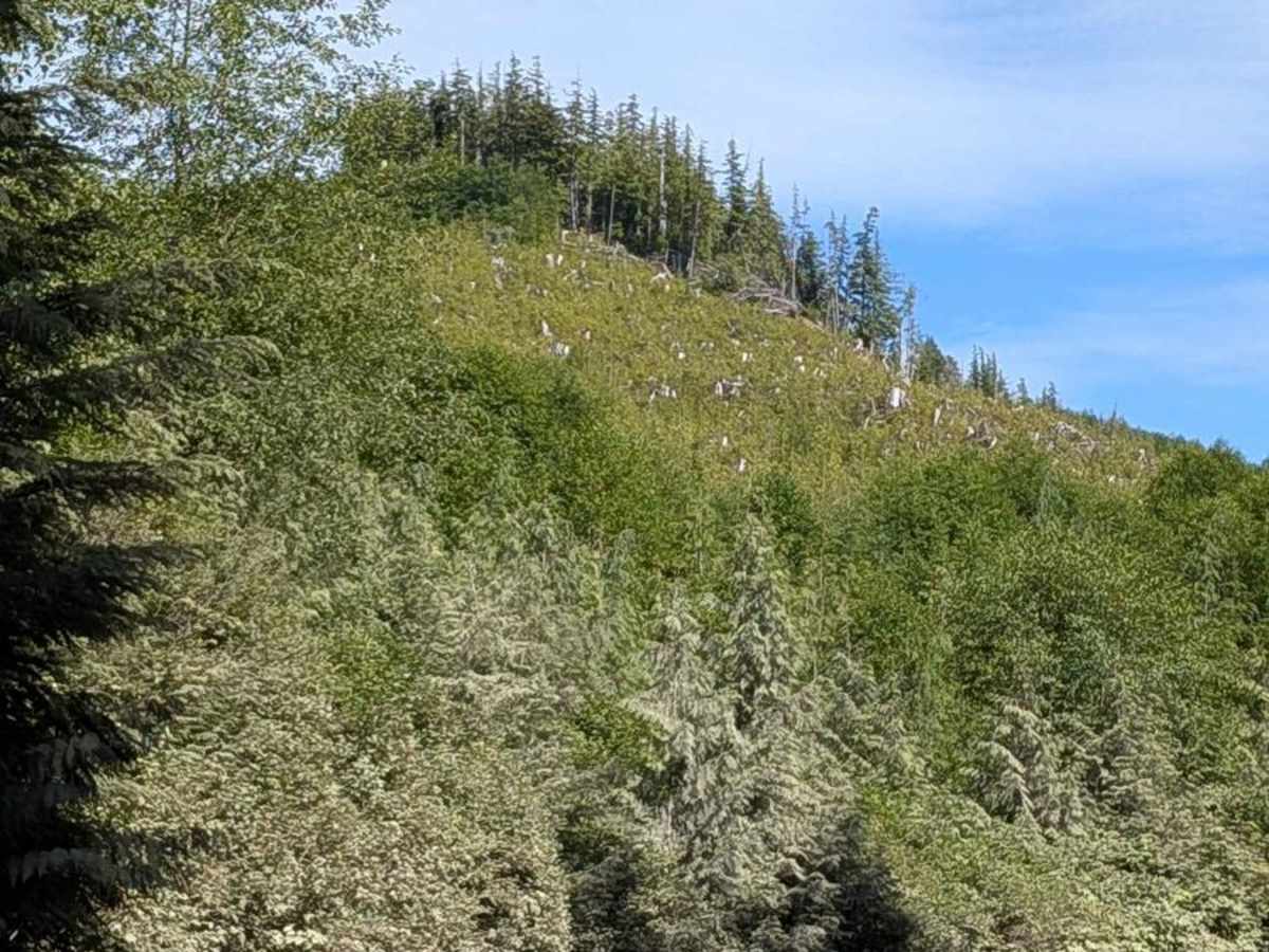
Photos of Southeast Main

Difficulty

Although it's a wide, maintained road, the fast-moving truck traffic and limited visibility can cause issues due to limited sight distance.

Technical Rating

1

Southeast Main Trail can be accessed by the following ride types:

  • Single Track
  • 60 Inch
  • High Clearance
  • Full Width

Southeast Main Map

The onX Offroad Difference

onX Offroad combines trail photos, descriptions, difficulty ratings, width restrictions, seasonality, and more in a user-friendly interface. Available on all devices, with offline access and full compatibility with CarPlay and Android Auto. Discover what you're missing today!

Open Trail Map