Trail Overview
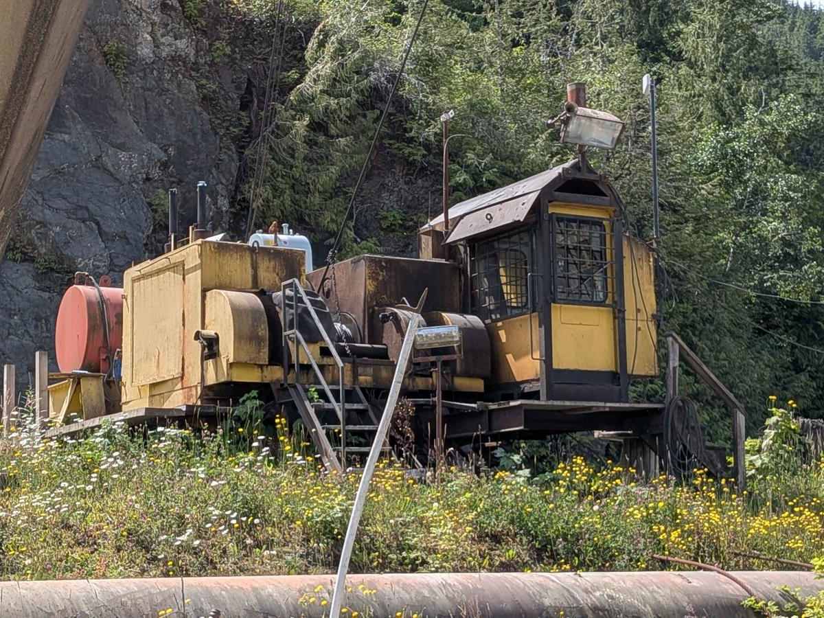
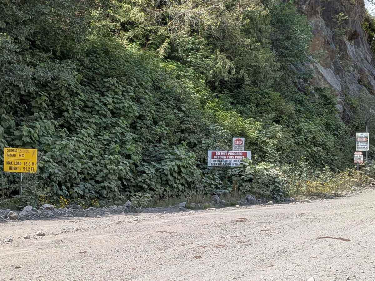
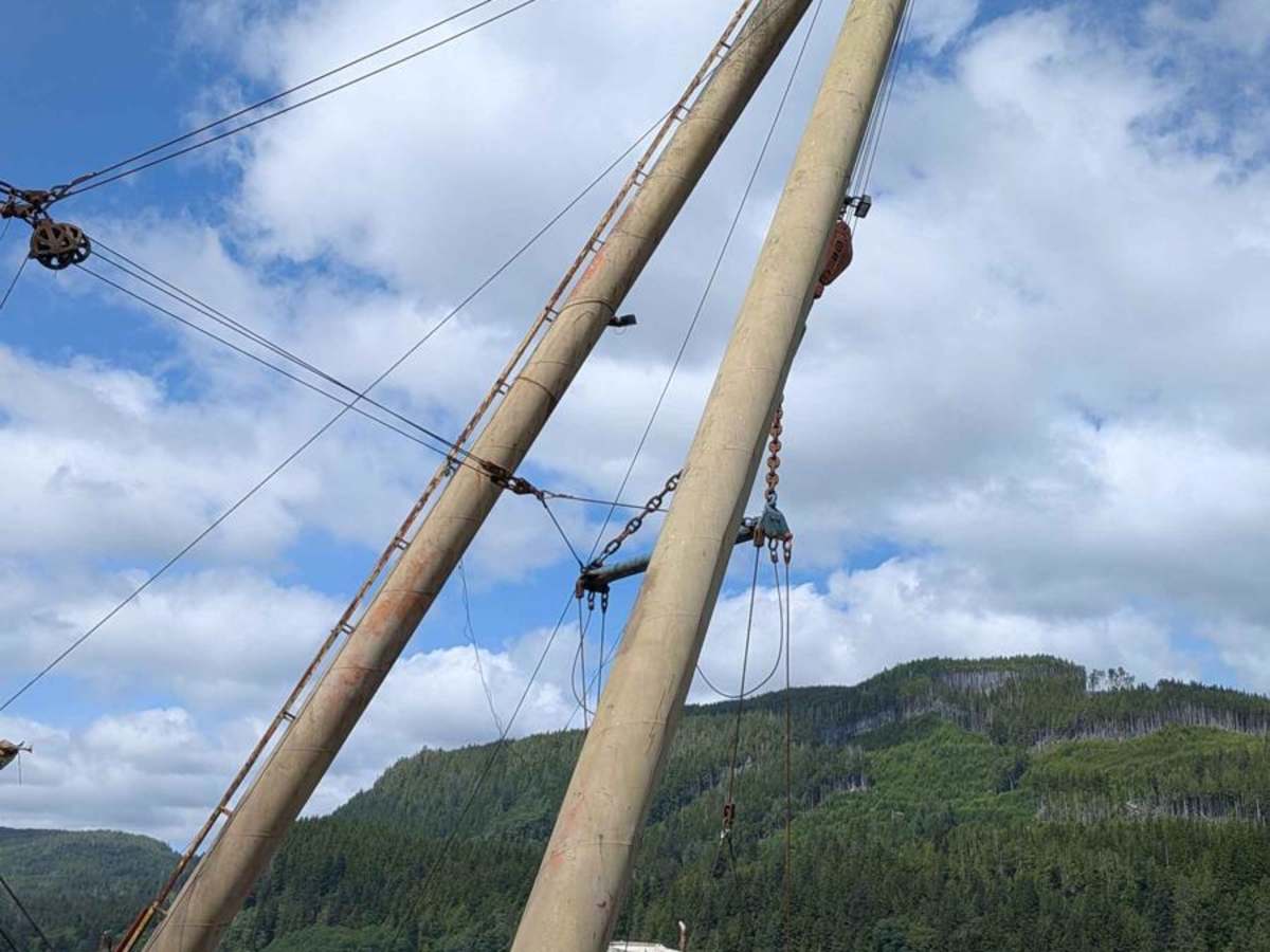
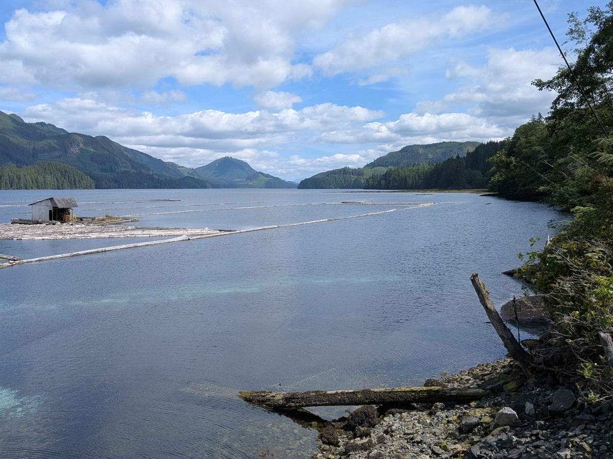
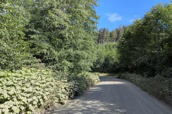
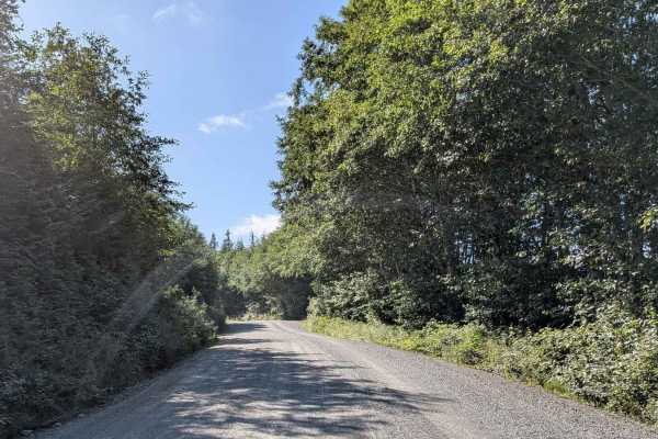
Northeast Main is a short but strategic gravel road that links Southeast Main, South Main, Holberg Road, and San Josef Main, as well as provides a vital access corridor in and out of the logging community of Holberg. The road is wide and well-traveled, supporting both industrial logging traffic and tourist access, which makes it an area of heightened caution. Be prepared to pull over and slow down. Near the trail's water edge, there is an active logging port equipped with a loading crane. Follow all posted signs and exercise caution in this area. It is a critical working zone with large, fast-moving equipment. The route offers a brief but valuable connector between multiple key trails and roads in the region and serves as a logistical access point for both recreation and industry.
Difficulty
This trail is wide and mostly smooth gravel. The main considerations are heavy traffic, dust, and industrial operations, not terrain difficulty. It's suitable for all high-clearance vehicles, and even 2WD in dry conditions, though extra caution is required due to truck traffic and poor visibility.
History
Holberg is a former ferry terminal about 35 kilometres (22 miles) from the northwest tip of Vancouver Island, British Columbia. This unincorporated community is at the head of Holberg Inlet, which forms the western arm of Quatsino Sound.