Trail Overview
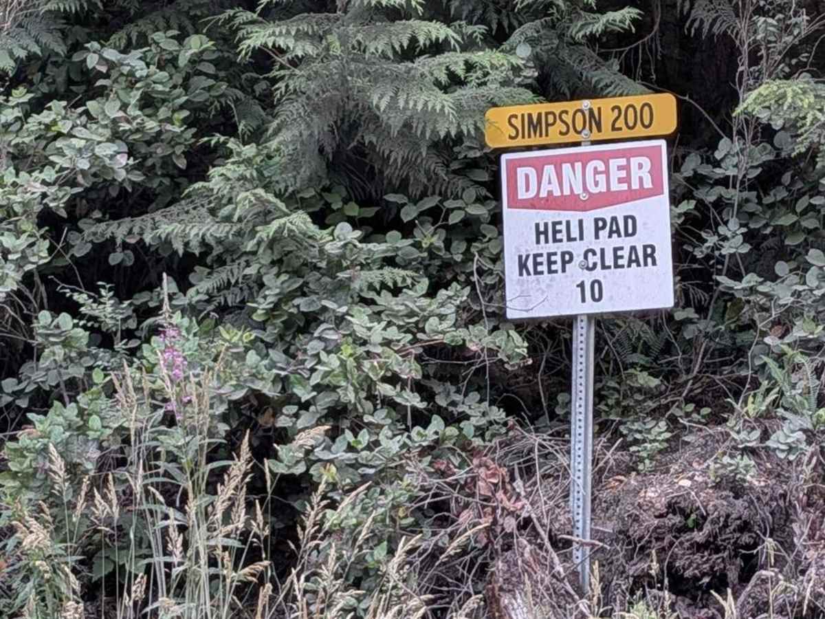
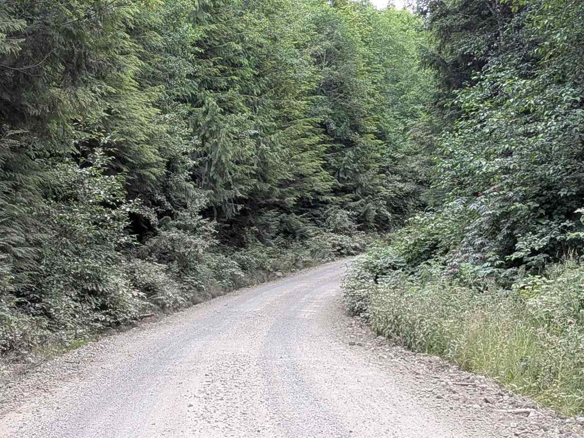
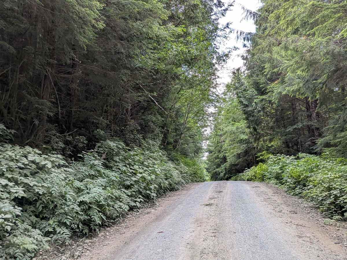
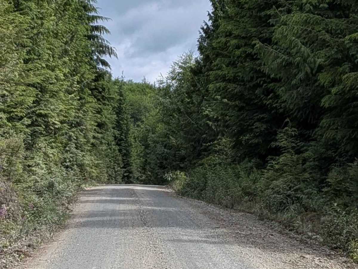
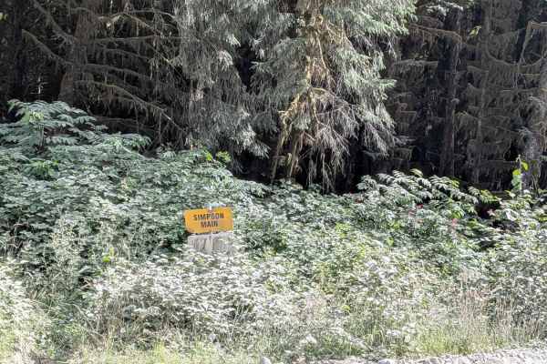
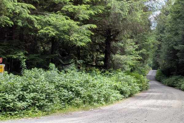
Simpson 200 is an active logging access trail that begins off Simpson Main and climbs steadily from 38 meters to over 172 meters in elevation. The trail is hard-packed dirt with light gravel and is two trucks wide for most of its length. A nearby helipad is marked--watch for warning signs and keep your eyes and ears open. The road is lined with low new-growth trees and berry bushes, providing a mix of green cover and seasonal color. Around the 4 km mark, there's a short stretch of loose, heavy gravel paired with a few whoops that could catch low-clearance vehicles--use caution and reduce speed here to avoid undercarriage contact. The trail opens up near the end with expansive views of the surrounding hills and valleys, but note that it finishes in an active cut block zone. Do not proceed past the trail end without permission, as it's part of an ongoing logging operation. Radio communication is essential--monitor the posted frequency (typically 152.36 MHz), announce your location, and always yield to logging trucks using designated pullouts.
Difficulty
While most of the trail is smooth and wide, the loose gravel whoops at four km, steep elevation gain, and active logging traffic bump the rating to a 2. Good All-Terrain tires are recommended, and radios are a plus for safety.