Trail Overview
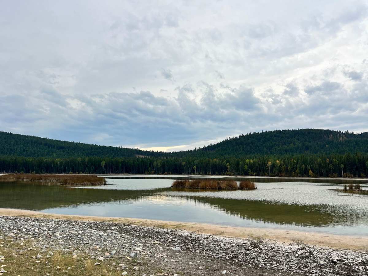
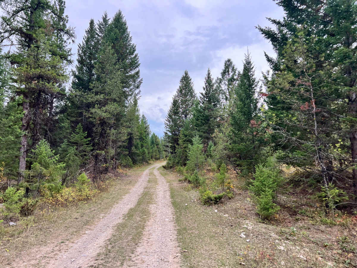
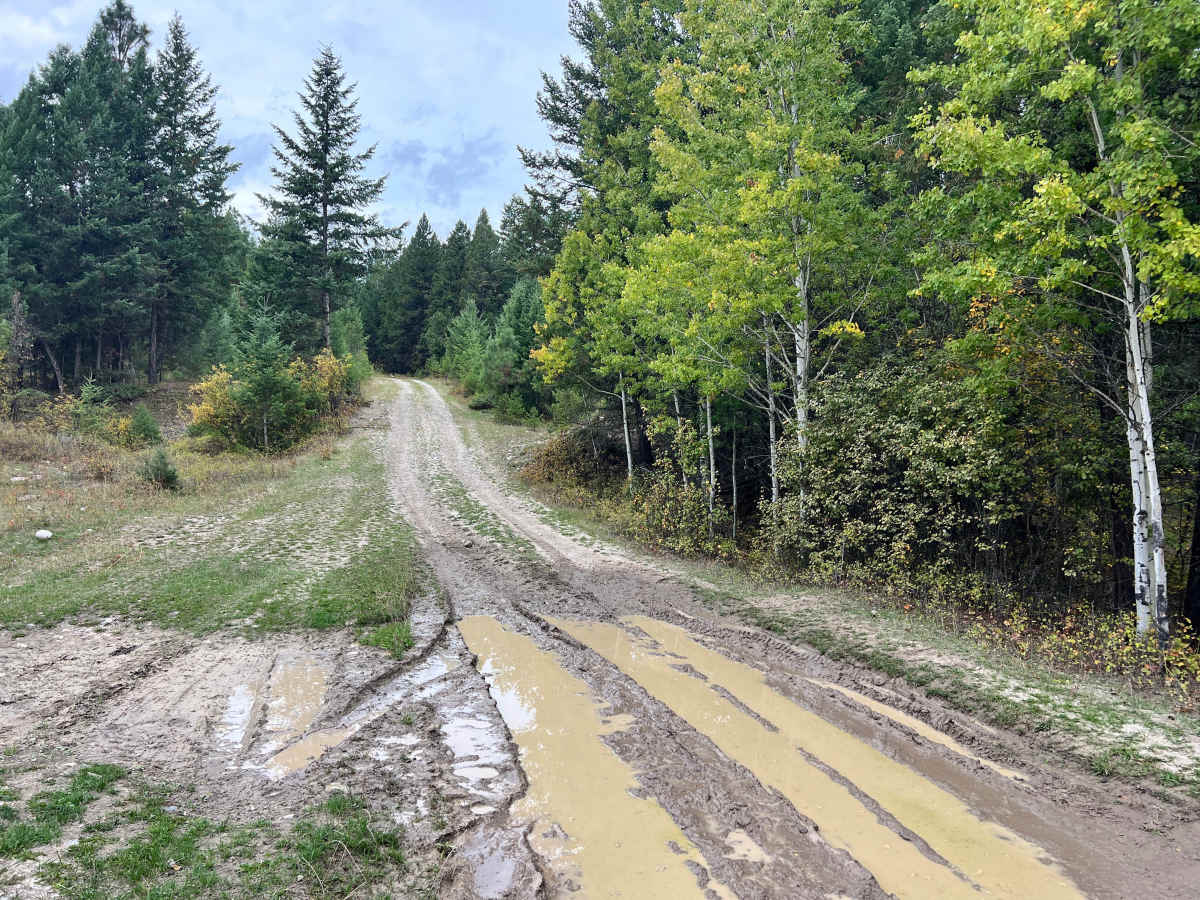
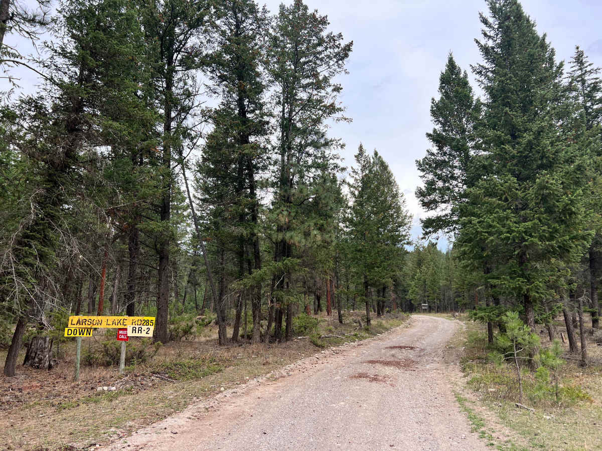
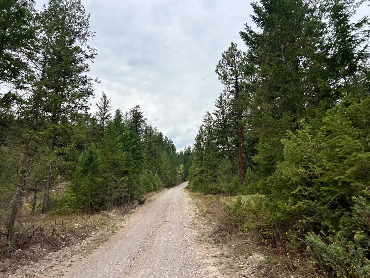
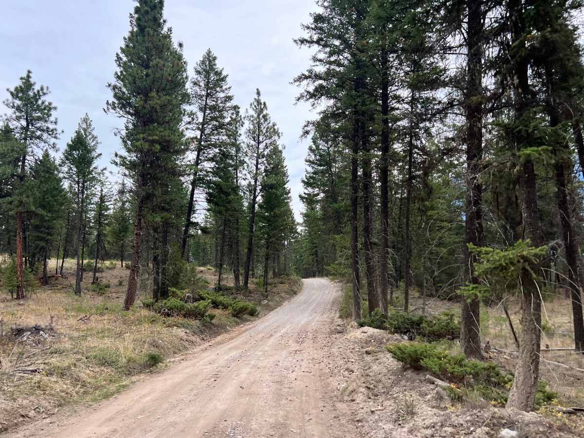
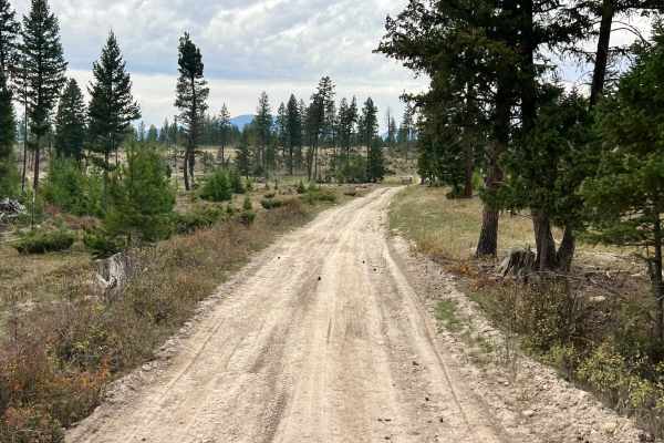
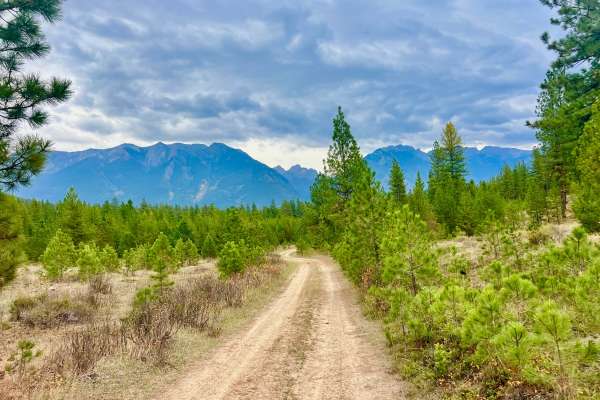
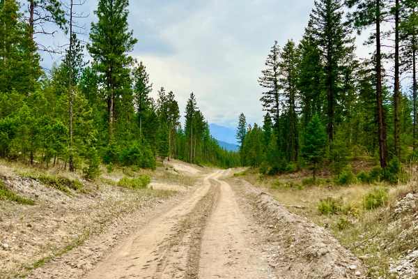
This out-and-back trail winds through hills via a network of active logging roads, terminating at Larson Lake. The route consists of active logging roads that can be dusty or busy with industrial traffic. Closer to the lake, the track narrows and becomes more technical, featuring bumpy sections, ruts, and mud holes that require careful navigation. This is a peaceful, less-trafficked area ideal for those seeking solitude. The open range landscape allows for unique wildlife viewing opportunities near the lake, provided accessibility conditions allow. It offers a quiet, remote experience in an area characterized by open range, meaning encounters with free-roaming cattle are common along the route. The lake itself fluctuates significantly in depth throughout the year, and it may be too muddy for easy access in the late season. Camping is limited to a few open, clear spots around the perimeter of Larson Lake. These are unimproved sites, so plan to be entirely self-sufficient. Cell service is limited, with approximately two bars reported in the area. Expect it to be unreliable.